South Cove
Settlement in Suffolk East Suffolk
England
South Cove

South Cove is a small coastal village located in Suffolk, England. Situated on the eastern coast of the country, it is part of the Suffolk Coastal District and lies within the East Suffolk Area of Outstanding Natural Beauty. With a population of around 200 residents, it is a close-knit community known for its tranquil atmosphere and picturesque surroundings.
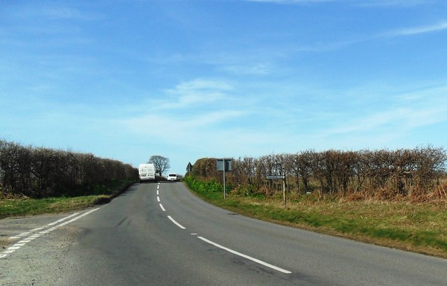
The village is nestled between the towns of Southwold and Lowestoft, providing easy access to amenities and services. South Cove is characterized by its stunning coastline, boasting beautiful sandy beaches and clear waters, making it a popular destination for beach lovers and water sports enthusiasts.
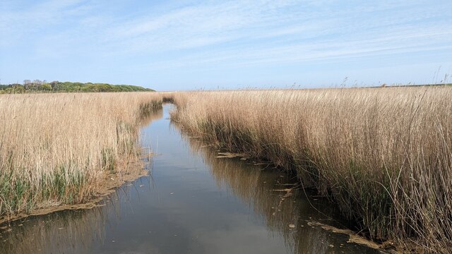
The village is surrounded by an abundance of natural beauty, including rolling hills, lush meadows, and charming woodland areas. The area is home to a diverse range of wildlife, such as migratory birds, seals, and various marine species.
South Cove is also steeped in history, with evidence of human settlement dating back to ancient times. The village is home to several historical landmarks, including St. Margaret's Church, a Grade II listed building that dates back to the 12th century.
Despite its small size, South Cove offers a sense of community and a range of recreational activities for residents and visitors. The village has a local pub, which serves as a social hub, and hosts annual events such as the South Cove Open Gardens, where residents open their private gardens to the public.
Overall, South Cove is a charming coastal village that offers a peaceful retreat, stunning natural landscapes, and a rich historical heritage.
If you have any feedback on the listing, please let us know in the comments section below.
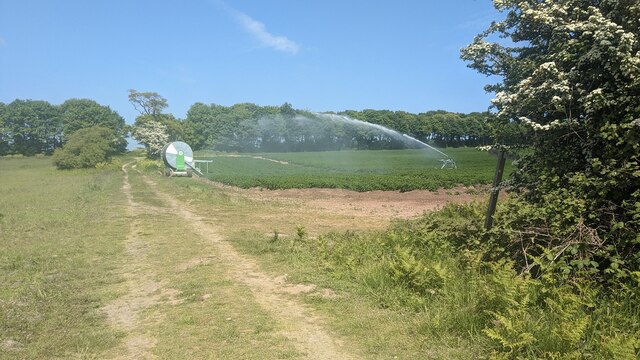
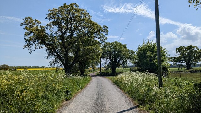
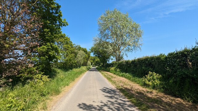
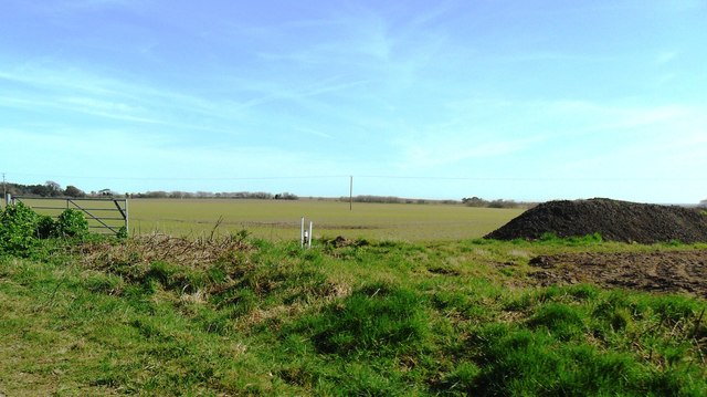
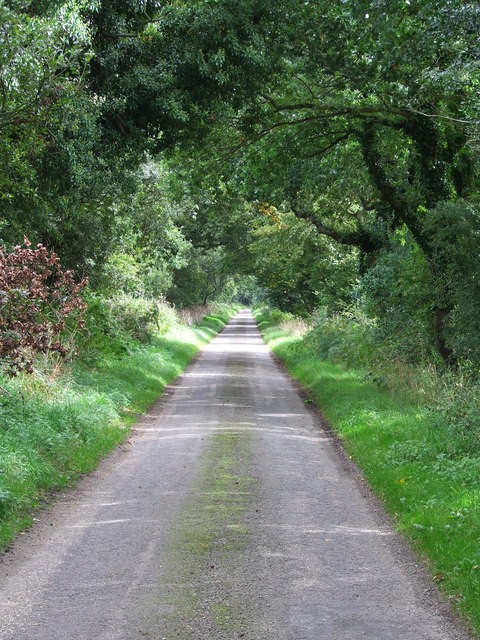
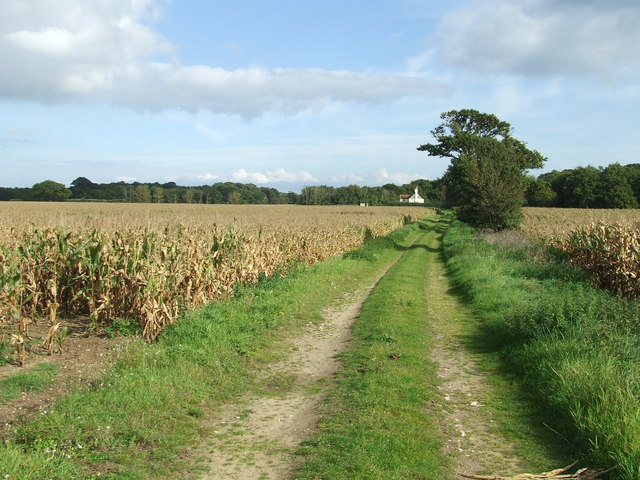
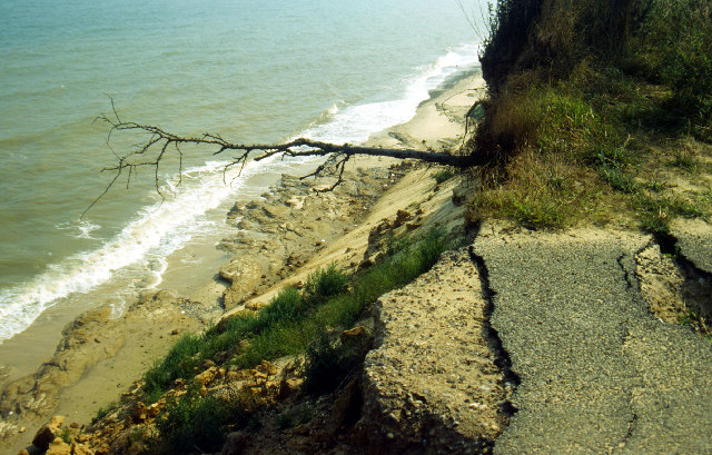
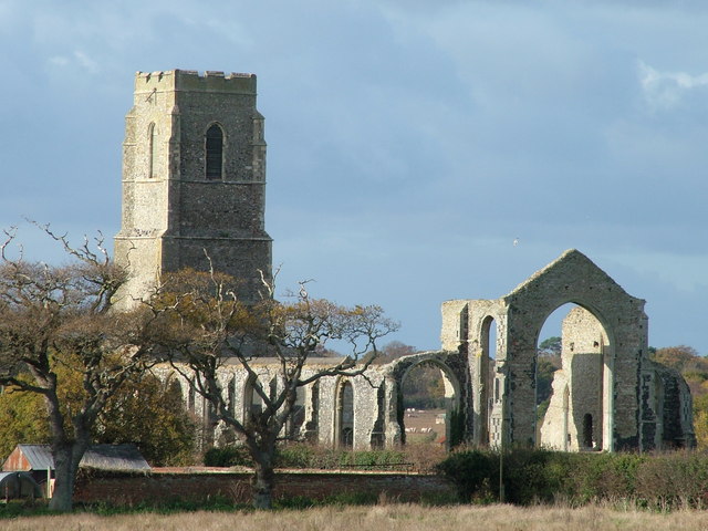
South Cove Images
Images are sourced within 2km of 52.368323/1.67091 or Grid Reference TM4980. Thanks to Geograph Open Source API. All images are credited.


South Cove is located at Grid Ref: TM4980 (Lat: 52.368323, Lng: 1.67091)
Administrative County: Suffolk
District: East Suffolk
Police Authority: Suffolk
What 3 Words
///marine.picturing.baguette. Near Southwold, Suffolk
Nearby Locations
Related Wikis

South Cove, Suffolk
South Cove is a civil parish in the east of the English county of Suffolk. It is 3 miles (4.8 km) north of the coastal town of Southwold and 1 mile (1...

Wrentham, Suffolk
Wrentham is a village and civil parish in the East Suffolk district, in the north-east of the English county of Suffolk. It is located about 2 miles (3...

Frostenden
Frostenden is a village and civil parish in the East Suffolk district of the English county of Suffolk. It is around 8 miles (13 km) south-west of Lowestoft...

Old Town Hall, Wrentham
The Old Town Hall is a former municipal building in the High Street in Wrentham, Suffolk, England. The building, which was the meeting place of Wrentham...

Benacre National Nature Reserve
Benacre National Nature Reserve is a national nature reserve in the English county of Suffolk. It is located on the North Sea coast in the parishes of...
Pakefield to Easton Bavents
Pakefield to Easton Bavents is a 735.4-hectare (1,817-acre) biological and geological Site of Special Scientific Interest which stretches along the Suffolk...
Covehithe
Covehithe is a village and civil parish in the East Suffolk district of the English county of Suffolk. It lies on the North Sea coast around 4 miles (6...
St Andrew's Church, Covehithe
St Andrew's Church is a partly redundant Anglican church in the hamlet of Covehithe in the English county of Suffolk. It is recorded in the National Heritage...
Nearby Amenities
Located within 500m of 52.368323,1.67091Have you been to South Cove?
Leave your review of South Cove below (or comments, questions and feedback).