Sandhole Covert
Wood, Forest in Suffolk East Suffolk
England
Sandhole Covert

Sandhole Covert is a picturesque woodland located in Suffolk, England. Covering an area of approximately 50 acres, it is a popular destination for nature lovers and outdoor enthusiasts. The covert is nestled within the gently rolling Suffolk countryside, offering visitors a tranquil and serene environment.
The woodland is predominantly composed of native broadleaf trees, including oak, ash, and beech, which create a dense canopy and provide shelter for a variety of wildlife. The forest floor is adorned with a rich carpet of wildflowers, ferns, and mosses, adding to the beauty and diversity of the area.
Sandhole Covert is known for its diverse bird population, making it a haven for birdwatchers. Visitors may catch a glimpse of species such as woodpeckers, owls, and thrushes. The woodland is also home to various mammals, including deer, foxes, and rabbits, which can often be spotted darting through the undergrowth.
For those seeking outdoor recreation, Sandhole Covert offers several walking trails, allowing visitors to fully immerse themselves in the natural surroundings. The peaceful ambiance and scenic beauty make it an ideal location for photography, painting, or simply enjoying a picnic amidst the tranquil setting.
The woodland is managed by the local authorities, who actively work towards preserving its natural habitat and promoting conservation efforts. Educational programs and guided tours are frequently organized to raise awareness about the importance of protecting this ecological gem.
In conclusion, Sandhole Covert in Suffolk is a stunning woodland retreat, offering a delightful escape from the hustle and bustle of everyday life. With its diverse flora and fauna, scenic walking trails, and peaceful ambiance, it is a place where visitors can reconnect with nature and experience the serenity of the Suffolk countryside.
If you have any feedback on the listing, please let us know in the comments section below.
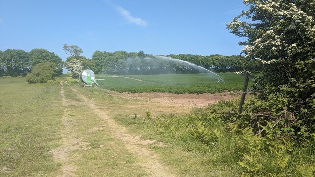
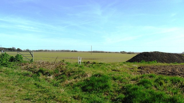
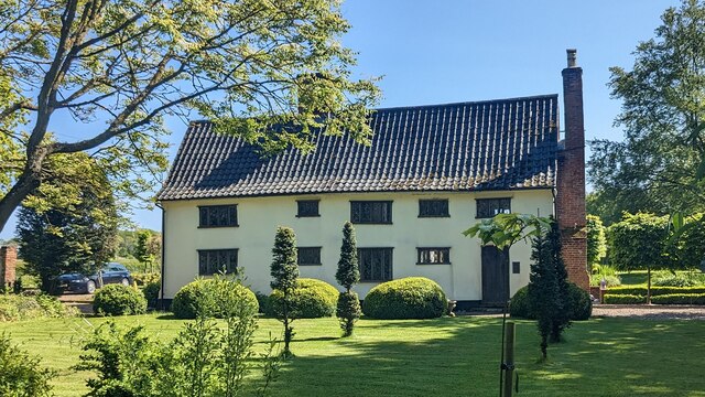
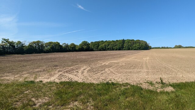
Sandhole Covert Images
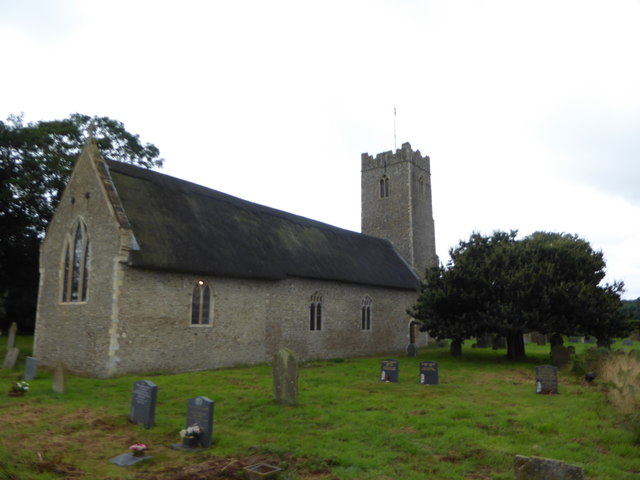
Images are sourced within 2km of 52.366769/1.6579033 or Grid Reference TM4980. Thanks to Geograph Open Source API. All images are credited.


Sandhole Covert is located at Grid Ref: TM4980 (Lat: 52.366769, Lng: 1.6579033)
Administrative County: Suffolk
District: East Suffolk
Police Authority: Suffolk
What 3 Words
///widget.boils.younger. Near Southwold, Suffolk
Nearby Locations
Related Wikis

South Cove, Suffolk
South Cove is a civil parish in the east of the English county of Suffolk. It is 3 miles (4.8 km) north of the coastal town of Southwold and 1 mile (1...

Frostenden
Frostenden is a village and civil parish in the East Suffolk district of the English county of Suffolk. It is around 8 miles (13 km) south-west of Lowestoft...

Wrentham, Suffolk
Wrentham is a village and civil parish in the East Suffolk district, in the north-east of the English county of Suffolk. It is located about 2 miles (3...

Reydon Wood
Reydon Wood is a 16 hectare nature reserve west of Wangford in Suffolk, England. It is managed by the Suffolk Wildlife Trust. This conifer wood has many...
Nearby Amenities
Located within 500m of 52.366769,1.6579033Have you been to Sandhole Covert?
Leave your review of Sandhole Covert below (or comments, questions and feedback).