Birch Covert
Wood, Forest in Suffolk East Suffolk
England
Birch Covert
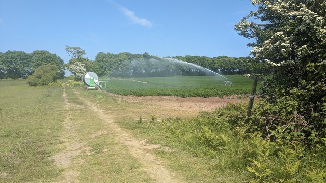
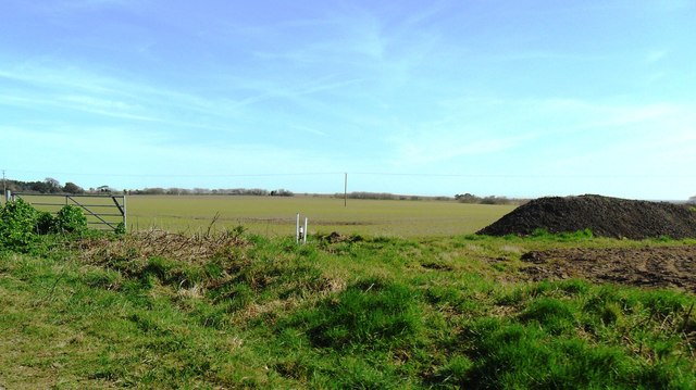
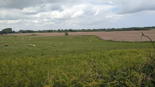
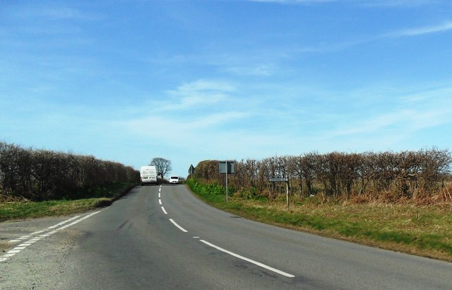
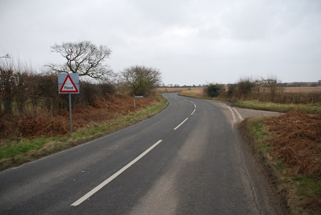
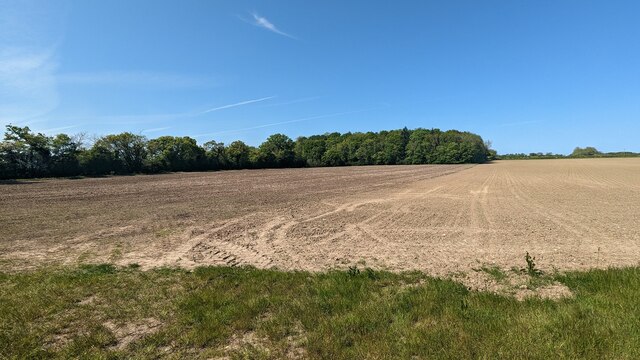
Birch Covert is a small woodland located in Suffolk, England. Spread across an area of approximately 50 acres, this forest is known for its dense growth of birch trees, which gives it its name. The woodland is situated in a rural setting, surrounded by rolling hills and agricultural fields, offering visitors a peaceful and serene atmosphere.
Birch Covert is home to a variety of wildlife species, making it a popular destination for nature enthusiasts and birdwatchers. Visitors can often spot numerous bird species, including woodpeckers, owls, and thrushes, as well as small mammals such as squirrels and rabbits. The forest floor is covered in a thick carpet of moss and ferns, creating a lush and green landscape.
The woodland boasts several walking trails that wind through its picturesque surroundings, providing visitors with the opportunity to explore its beauty at their own pace. These paths are well-maintained and suitable for all ages and fitness levels. Additionally, there are designated picnic areas and benches scattered throughout the forest, allowing visitors to relax and enjoy the tranquility of the surroundings.
Birch Covert is easily accessible, with parking available near the entrance. The forest is open to the public year-round, however, it is advisable to check for any closures or restrictions before planning a visit. Whether one seeks a peaceful retreat or an opportunity to immerse oneself in nature, Birch Covert offers a delightful experience for all who venture into its woodlands.
If you have any feedback on the listing, please let us know in the comments section below.
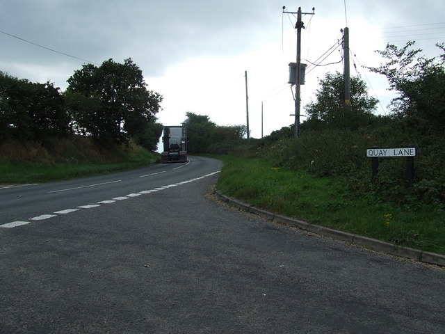
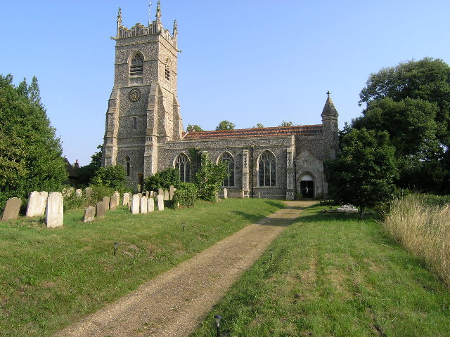
Birch Covert Images
Images are sourced within 2km of 52.36035/1.6575048 or Grid Reference TM4979. Thanks to Geograph Open Source API. All images are credited.


Birch Covert is located at Grid Ref: TM4979 (Lat: 52.36035, Lng: 1.6575048)
Administrative County: Suffolk
District: East Suffolk
Police Authority: Suffolk
What 3 Words
///grading.florists.snuggled. Near Southwold, Suffolk
Nearby Locations
Related Wikis

South Cove, Suffolk
South Cove is a civil parish in the east of the English county of Suffolk. It is 3 miles (4.8 km) north of the coastal town of Southwold and 1 mile (1...

Reydon Wood
Reydon Wood is a 16 hectare nature reserve west of Wangford in Suffolk, England. It is managed by the Suffolk Wildlife Trust.This conifer wood has many...

Frostenden
Frostenden is a village and civil parish in the East Suffolk district of the English county of Suffolk. It is around 8 miles (13 km) south-west of Lowestoft...

Wangford
Wangford is a village and former civil parish, now in the parish of Wangford with Henham, in the East Suffolk district, in the county of Suffolk, England...
A1095 road
The A1095 road is an A road in the English county of Suffolk. It runs from Southwold on the North Sea coast to the A12 London to Lowestoft road at Henham...
Wangford Priory
The Cluniac Priory of Wangford was a small religious house in Wangford in the English county of Suffolk. It was founded before 1159 as a dependency of...

Reydon
Reydon is a village and civil parish, 1.0 mile (1.6 km) north-west of Southwold and 2.5 miles (4.0 km) south-east of Wangford, in the East Suffolk district...

Wrentham, Suffolk
Wrentham is a village and civil parish in the East Suffolk district, in the north-east of the English county of Suffolk. It is located about 2 miles (3...
Nearby Amenities
Located within 500m of 52.36035,1.6575048Have you been to Birch Covert?
Leave your review of Birch Covert below (or comments, questions and feedback).