Cove Bottom
Settlement in Suffolk East Suffolk
England
Cove Bottom

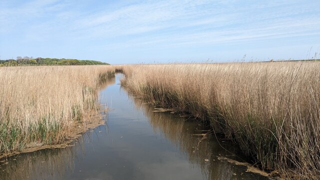
Cove Bottom is a picturesque coastal area located in the county of Suffolk, England. Situated on the eastern coast of the country, it is a small village renowned for its natural beauty and serene atmosphere. As its name suggests, Cove Bottom is nestled at the bottom of a cove, offering stunning views of the surrounding cliffs and the North Sea.
The village itself is characterized by its charming traditional cottages, many of which date back centuries. The architecture here is quintessentially English, with thatched roofs, colorful gardens, and quaint little lanes. The village is relatively small, with a tight-knit community that prides itself on its close relationships and strong community spirit.
Cove Bottom is a popular destination for nature lovers and outdoor enthusiasts. The area boasts an abundance of wildlife and is home to several nature reserves, making it an ideal spot for birdwatching and exploring coastal trails. The nearby cliffs provide excellent opportunities for hiking and offer breathtaking views of the sea.
The village's proximity to the coast also means that Cove Bottom has a small harbor, which adds to its charm and provides a picturesque backdrop for leisurely walks along the shoreline. The harbor is mainly used by local fishermen, and visitors can often witness the daily catch being brought in.
Overall, Cove Bottom offers a tranquil escape from the hustle and bustle of city life. Its natural beauty, friendly community, and idyllic setting make it a hidden gem within the stunning Suffolk countryside.
If you have any feedback on the listing, please let us know in the comments section below.
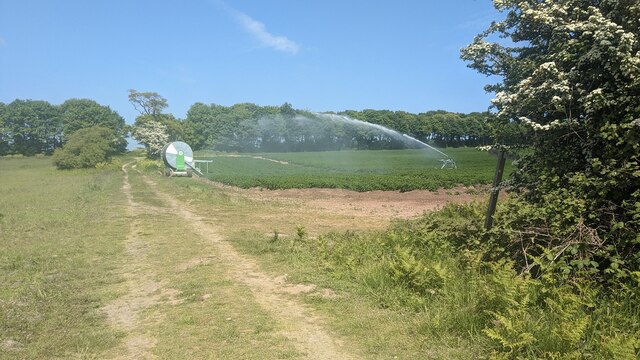
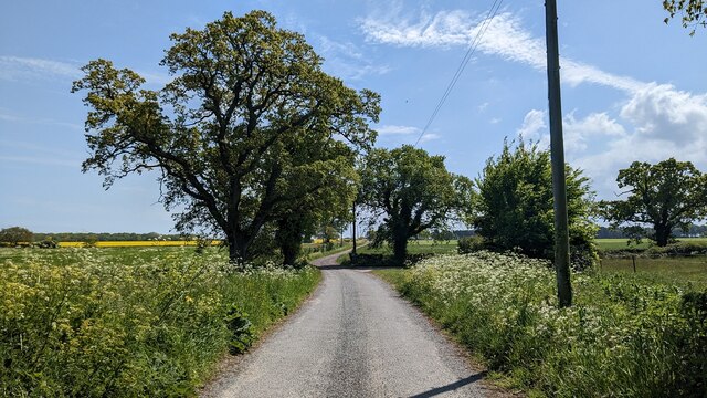
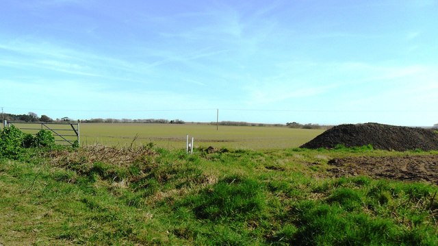
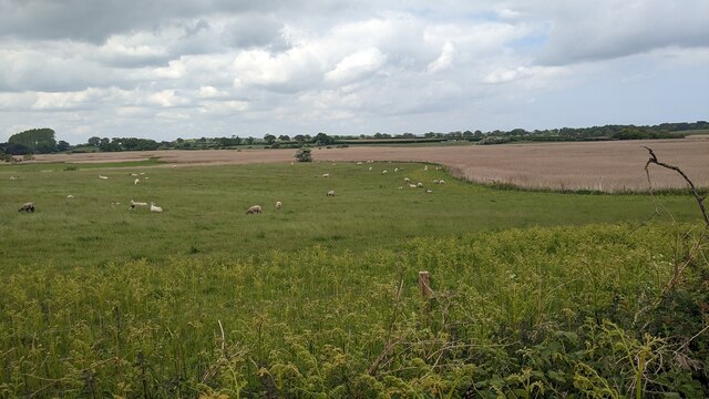
Cove Bottom Images
Images are sourced within 2km of 52.360584/1.66464 or Grid Reference TM4979. Thanks to Geograph Open Source API. All images are credited.


Cove Bottom is located at Grid Ref: TM4979 (Lat: 52.360584, Lng: 1.66464)
Administrative County: Suffolk
District: East Suffolk
Police Authority: Suffolk
What 3 Words
///flows.conductor.allies. Near Southwold, Suffolk
Nearby Locations
Related Wikis

South Cove, Suffolk
South Cove is a civil parish in the east of the English county of Suffolk. It is 3 miles (4.8 km) north of the coastal town of Southwold and 1 mile (1...

Reydon Wood
Reydon Wood is a 16 hectare nature reserve west of Wangford in Suffolk, England. It is managed by the Suffolk Wildlife Trust.This conifer wood has many...

Frostenden
Frostenden is a village and civil parish in the East Suffolk district of the English county of Suffolk. It is around 8 miles (13 km) south-west of Lowestoft...

Reydon
Reydon is a village and civil parish, 1.0 mile (1.6 km) north-west of Southwold and 2.5 miles (4.0 km) south-east of Wangford, in the East Suffolk district...
Nearby Amenities
Located within 500m of 52.360584,1.66464Have you been to Cove Bottom?
Leave your review of Cove Bottom below (or comments, questions and feedback).