Cove Bay
Settlement in Kincardineshire
Scotland
Cove Bay
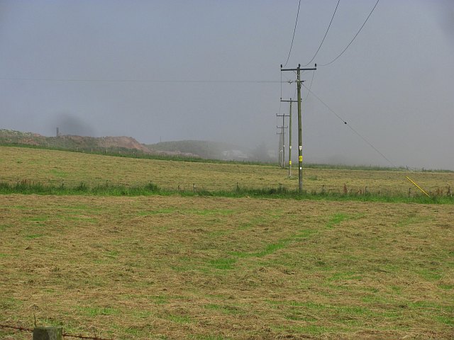
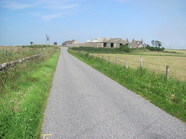
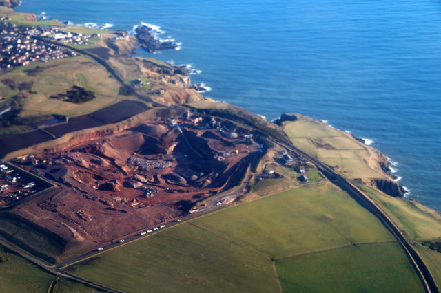
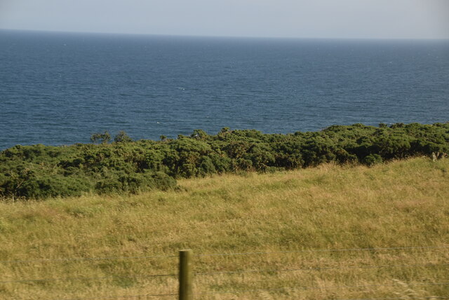
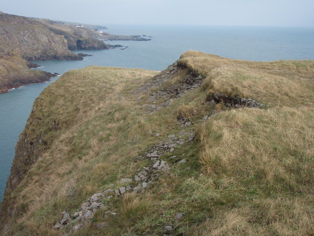
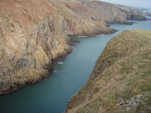
Cove Bay is a picturesque coastal village located in Kincardineshire, Scotland. Situated just 7 miles south of Aberdeen, it is nestled between the larger towns of Portlethen and Newtonhill. The village is well-known for its stunning natural beauty, with its golden sandy beach and rugged cliffs providing a scenic backdrop.
Cove Bay has a rich history dating back to the 18th century when it was primarily a fishing community. Today, it retains its charm with a mix of traditional and modern architecture. The village is home to a close-knit community, with a population of around 2,000 residents.
The beach is a major attraction in Cove Bay, drawing visitors and locals alike. It offers a tranquil spot for leisurely walks, picnics, and sunbathing during the summer months. The bay is also a popular spot for water sports enthusiasts, such as kayaking and paddleboarding.
Cove Bay is well-served by amenities and facilities, including a primary school, a small supermarket, and a handful of local shops. There are also several pubs and restaurants, offering a variety of dining options. The village has good transportation links, with regular bus services connecting it to nearby towns and cities.
Overall, Cove Bay is a charming coastal village that offers a peaceful retreat from the hustle and bustle of city life. With its natural beauty and community spirit, it is a place that captures the hearts of both residents and visitors.
If you have any feedback on the listing, please let us know in the comments section below.
Cove Bay Images
Images are sourced within 2km of 57.100133/-2.0888144 or Grid Reference NJ9401. Thanks to Geograph Open Source API. All images are credited.


Cove Bay is located at Grid Ref: NJ9401 (Lat: 57.100133, Lng: -2.0888144)
Unitary Authority: City of Aberdeen
Police Authority: North East
What 3 Words
///settle.under.views. Near Cove, Aberdeen
Nearby Locations
Related Wikis

Cove Bay
Cove Bay, known locally as Cove, is a suburb on the south-east edge of Aberdeen, Scotland. Today Cove is home to around 8,000 people. It is a popular residential...

St Mary's Church, Cove Bay
St Mary the Virgin (Cove Bay) is an Episcopal Church in Cove Bay, Aberdeen, Scotland. It is part of the Diocese of Aberdeen and Orkney in the Scottish...
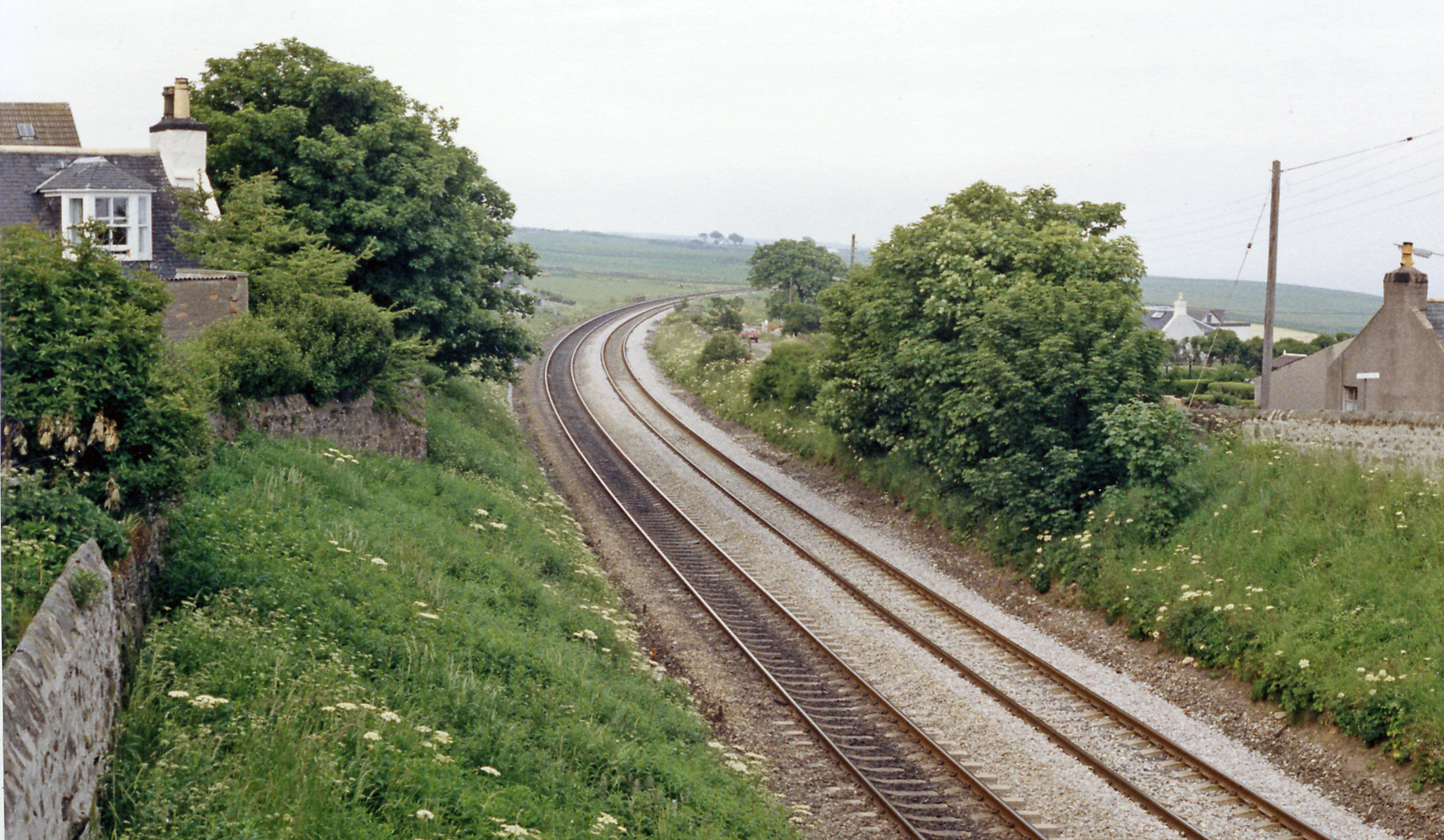
Cove Bay railway station
Cove Bay railway station served the suburb of Cove Bay, Aberdeen, Scotland from 1850 to 1956 on the Aberdeen Railway. == History == The station opened...
Hare Ness
Hare Ness is a headland landform along the North Sea coastline a few miles south of Aberdeen, Scotland. == History == Hare Ness is situated several kilometres...
Nearby Amenities
Located within 500m of 57.100133,-2.0888144Have you been to Cove Bay?
Leave your review of Cove Bay below (or comments, questions and feedback).