Cove, South
Settlement in Suffolk East Suffolk
England
Cove, South

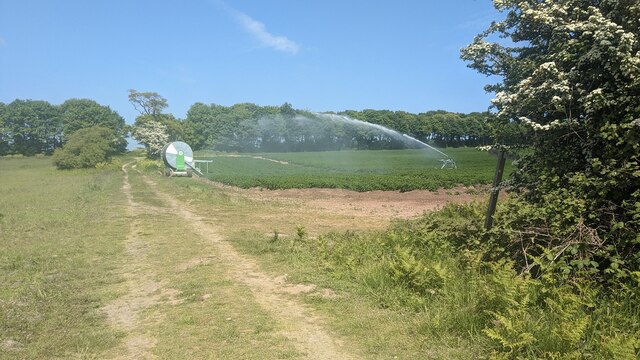
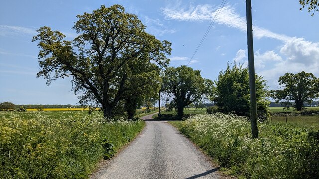
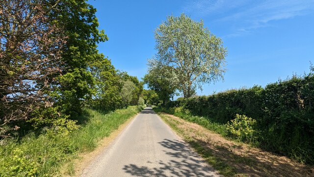
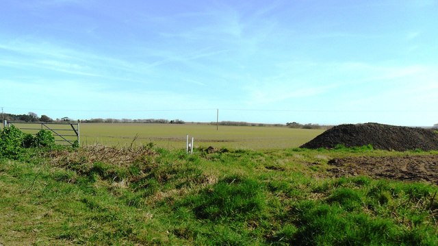
Cove is a small village located in the southern part of Suffolk, England. Situated in a picturesque rural setting, Cove is known for its tranquil atmosphere and natural beauty. The village is surrounded by lush green fields, rolling hills, and meandering streams, making it a popular destination for nature enthusiasts and those seeking a peaceful retreat.
Cove is home to a close-knit community of residents who take great pride in their village. The architecture of the village reflects its rich history, with a mix of traditional thatched cottages and more modern houses. The village church, St. Mary's, is a prominent landmark and holds regular religious services and community events.
Despite its small size, Cove offers a range of amenities to its residents. There is a local pub, The Cove Arms, where villagers can socialize and enjoy a pint. The village also has a primary school, providing education for the local children. For shopping and more extensive facilities, residents can easily access the nearby town of Southwold, which is only a short distance away.
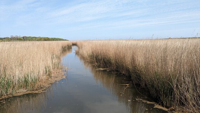
Nature lovers will find plenty to explore in Cove and its surrounding areas. The village is located near the Suffolk Coast and Heaths Area of Outstanding Natural Beauty, offering opportunities for hiking, cycling, and birdwatching. The nearby Cove Woods and Cove Common are particularly popular spots for outdoor activities.
In conclusion, Cove is a charming village in Suffolk, known for its tranquil setting, friendly community, and beautiful natural surroundings. It is a place where residents can enjoy a peaceful lifestyle while being close to the amenities of nearby towns.
If you have any feedback on the listing, please let us know in the comments section below.
Cove, South Images
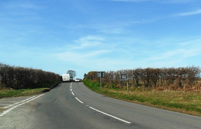
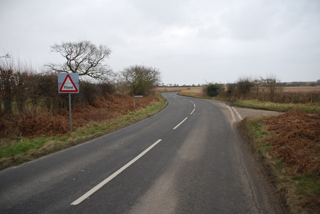
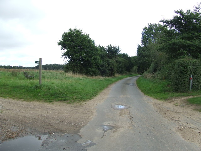
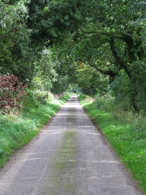
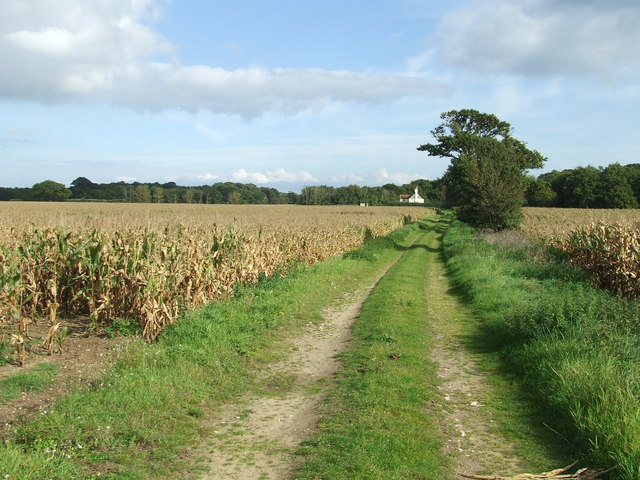
Images are sourced within 2km of 52.368323/1.67091 or Grid Reference TM4980. Thanks to Geograph Open Source API. All images are credited.


Cove, South is located at Grid Ref: TM4980 (Lat: 52.368323, Lng: 1.67091)
Administrative County: Suffolk
District: East Suffolk
Police Authority: Suffolk
What 3 Words
///marine.picturing.baguette. Near Southwold, Suffolk
Nearby Locations
Related Wikis

South Cove, Suffolk
South Cove is a civil parish in the east of the English county of Suffolk. It is 3 miles (4.8 km) north of the coastal town of Southwold and 1 mile (1...

Wrentham, Suffolk
Wrentham is a village and civil parish in the East Suffolk district, in the north-east of the English county of Suffolk. It is located about 2 miles (3...

Frostenden
Frostenden is a village and civil parish in the East Suffolk district of the English county of Suffolk. It is around 8 miles (13 km) south-west of Lowestoft...

Old Town Hall, Wrentham
The Old Town Hall is a former municipal building in the High Street in Wrentham, Suffolk, England. The building, which was the meeting place of Wrentham...
Nearby Amenities
Located within 500m of 52.368323,1.67091Have you been to Cove, South?
Leave your review of Cove, South below (or comments, questions and feedback).