Creake, South
Settlement in Norfolk King's Lynn and West Norfolk
England
Creake, South

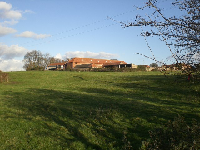
Creake is a small village located in the South Norfolk district of England. Situated approximately 20 miles northwest of Norwich, it is nestled within the picturesque Norfolk countryside. The village is part of the larger civil parish of North Creake, which includes the neighboring village of South Creake.
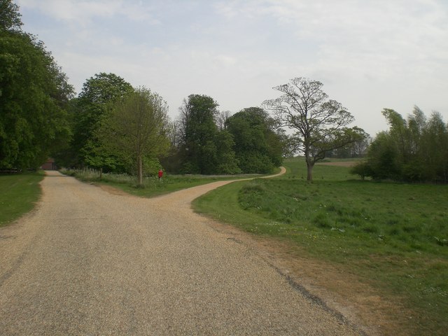
The area is renowned for its natural beauty, characterized by rolling fields, meandering rivers, and charming rural landscapes. Creake is particularly known for its proximity to the River Burn, which flows through the village, adding to its scenic appeal.
The village itself is relatively small, with a population of around 400 residents. It features a mix of traditional Norfolk architecture, including charming cottages and a historic church, St. Mary's, dating back to the 13th century. The church is an important local landmark and its tower can be seen from various points in the village.
Creake is also home to a handful of amenities, including a local pub and a village hall which hosts various community events. The village has a close-knit community feel, with residents often engaging in social activities and organizing events for both locals and visitors to enjoy.
The surrounding area offers ample opportunities for outdoor activities, with numerous walking and cycling trails crisscrossing the countryside. Additionally, Creake is within easy reach of several notable attractions, including the nearby Holkham Hall and Estate, a grand stately home, and the North Norfolk coast, renowned for its stunning beaches and wildlife reserves.
In summary, Creake is a picturesque village in South Norfolk, offering a peaceful and idyllic setting for residents and visitors alike, with its natural beauty, historic charm, and proximity to local attractions.
If you have any feedback on the listing, please let us know in the comments section below.
Creake, South Images
Images are sourced within 2km of 52.885366/0.764686 or Grid Reference TF8635. Thanks to Geograph Open Source API. All images are credited.


Creake, South is located at Grid Ref: TF8635 (Lat: 52.885366, Lng: 0.764686)
Administrative County: Norfolk
District: King's Lynn and West Norfolk
Police Authority: Norfolk
What 3 Words
///thread.grouping.synthetic. Near Fakenham, Norfolk
Nearby Locations
Related Wikis

South Creake
South Creake is a village and civil parish in north west Norfolk, England. The village lies 1+1⁄2 miles (2.4 km) south of its twin village of North Creake...

Bloodgate Hill Iron Age Fort
The Bloodgate Hill Iron Age Fort is an Iron Age hill fort in Norfolk, England, situated on a hill above the village of South Creake in the north of the...
Waterden medieval settlement
Waterden medieval settlement is a deserted medieval village in Norfolk, England, about 3 miles (4.8 km) west of Walsingham. It is a Scheduled Monument...

North Creake
North Creake is a village and civil parish in the north west of the English county of Norfolk. It covers an area of 14.99 km2 (5.79 sq mi) and had a population...
Quarles, Norfolk
Quarles is a hamlet and former civil parish, now in the civil parish of Holkham, in the North Norfolk district, in the county of Norfolk, England. The...

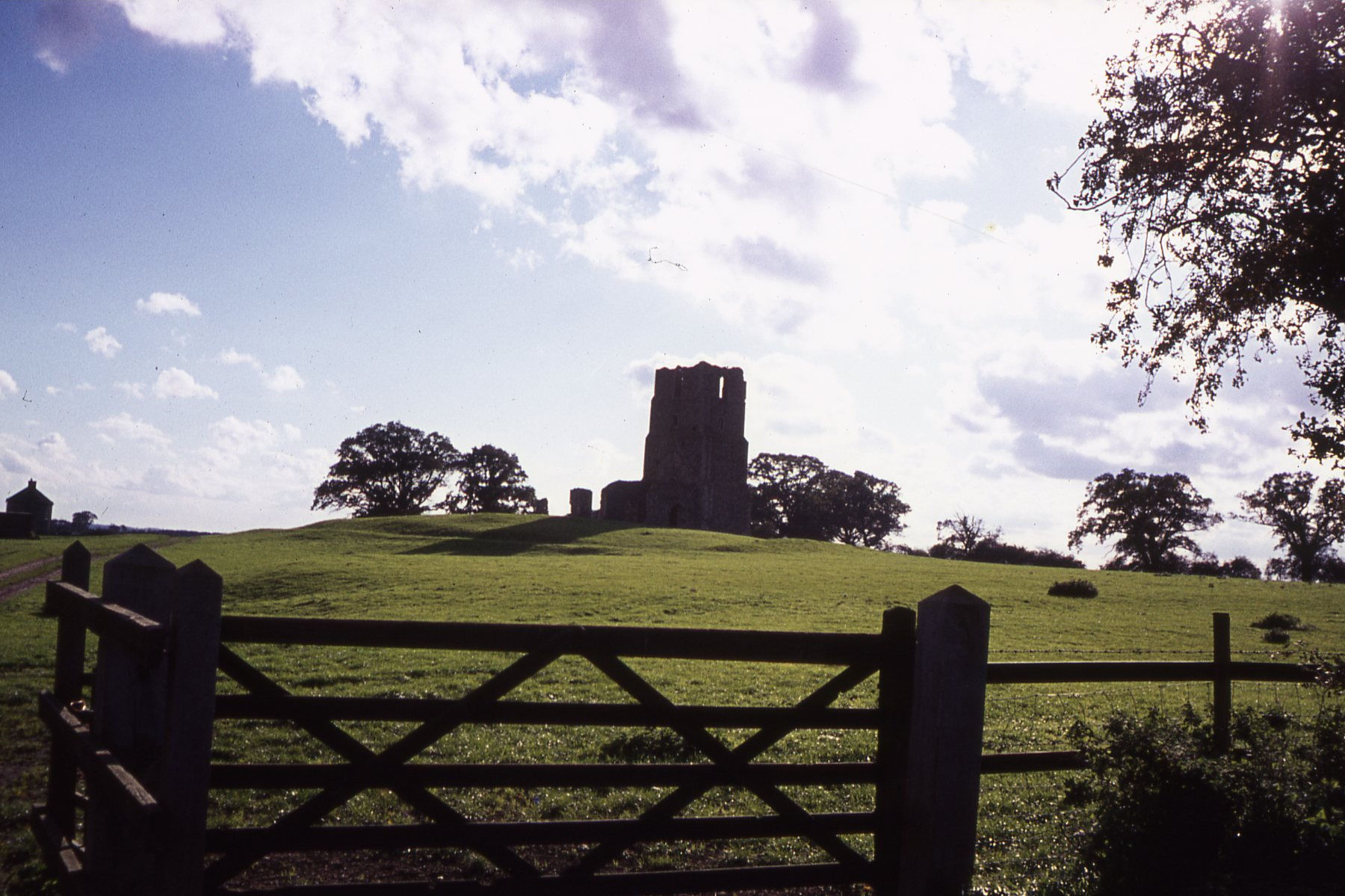
Creake Abbey
Creake Abbey is a ruined abbey in Norfolk, England, situated alongside the River Burn and a mile to the north of the village of North Creake. The abbey...
Egmere medieval settlement
Egmere medieval settlement is a deserted medieval village in Norfolk, England, about 2.5 miles (4.0 km) west of Walsingham. It is a Scheduled Monument...
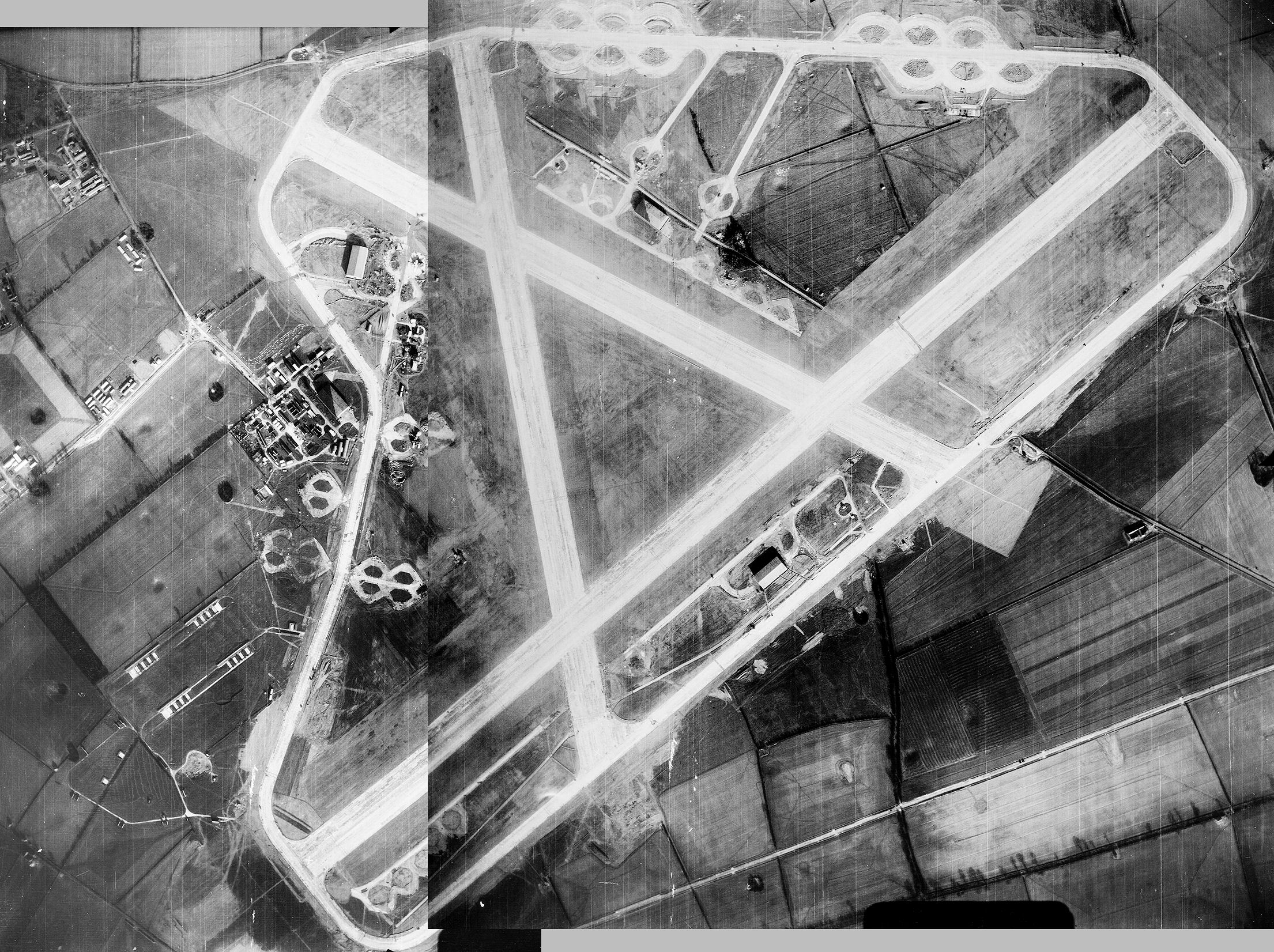
Sculthorpe Training Area
Sculthorpe Training Area, previously Royal Air Force Station Sculthorpe and commonly abbreviated RAF Sculthorpe, is a training site owned by the British...
Nearby Amenities
Located within 500m of 52.885366,0.764686Have you been to Creake, South?
Leave your review of Creake, South below (or comments, questions and feedback).