South Alloa

Settlement in Stirlingshire

Scotland

South Alloa

One School Global Caledonia This is a regulated independent school with a strong Christian ethos. Viewed from The Pavilions on the edge of the square.
One School Global Caledonia Credit: Mary and Angus Hogg

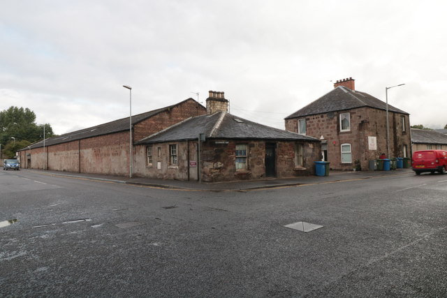
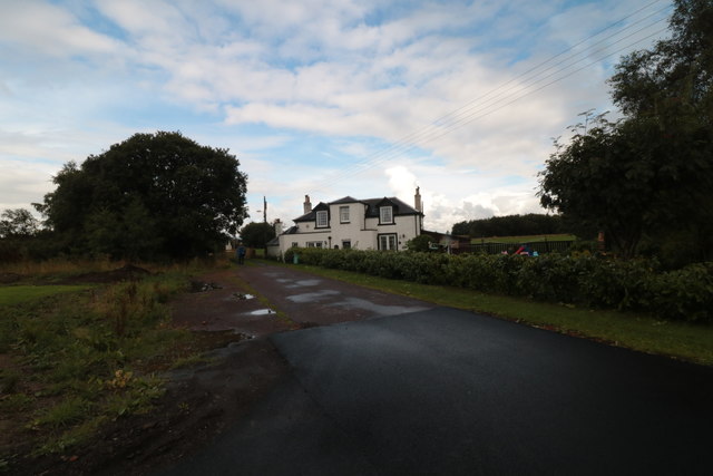
South Alloa is a small village located in the county of Stirlingshire, Scotland. Situated along the River Forth, it is part of the larger town of Alloa and lies approximately 5 miles southeast of Stirling.

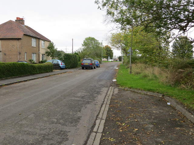
With a population of around 3,000 residents, South Alloa offers a peaceful and close-knit community atmosphere. The village is primarily residential, with a mix of traditional stone-built houses and more modern developments. The well-maintained streets are lined with beautiful gardens and trees, adding to the area's charm.

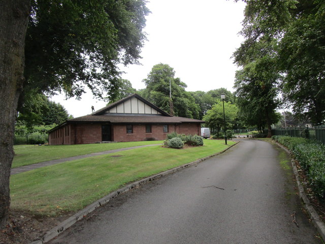
South Alloa benefits from a range of amenities that cater to the needs of its residents. These include a primary school, shops, a pub, and a community center. Additionally, the nearby town of Alloa offers a wider array of services, including supermarkets, leisure facilities, and a variety of shops and restaurants.

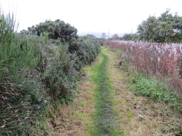
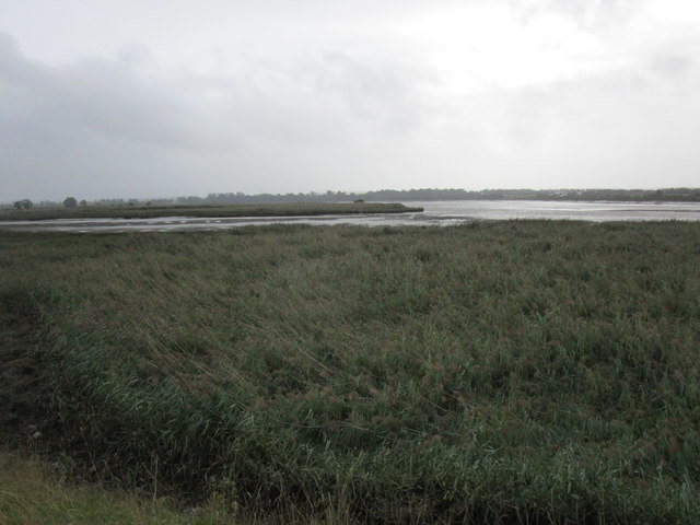
Nature enthusiasts will appreciate the village's proximity to picturesque countryside and outdoor spaces. The River Forth offers opportunities for fishing and boating, while nearby Ochil Hills provides scenic walking and hiking routes.

Transportation links in South Alloa are convenient, with regular bus services connecting the village to Alloa and surrounding towns. For those commuting to larger cities, both Stirling and Edinburgh are easily accessible by road or rail.

Overall, South Alloa provides a tranquil and friendly environment for its residents, with its charming village setting and proximity to both natural beauty and urban amenities.

If you have any feedback on the listing, please let us know in the comments section below.
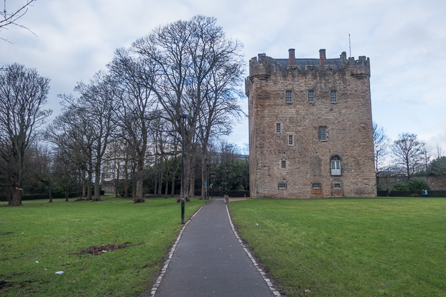
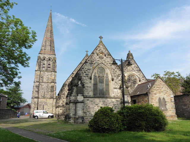
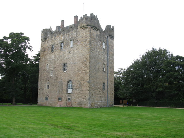
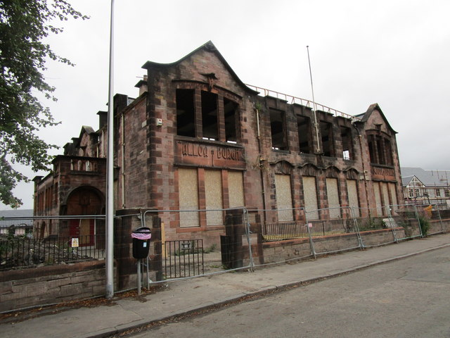
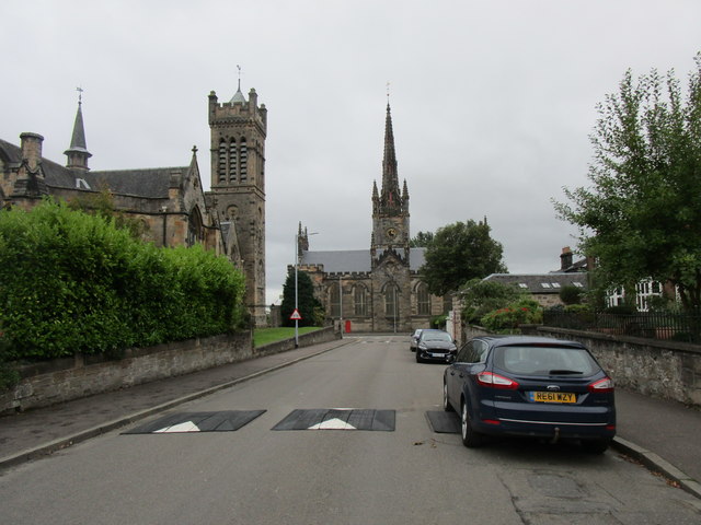
South Alloa Images

Images are sourced within 2km of 56.101531/-3.8091901 or Grid Reference NS8791. Thanks to Geograph Open Source API. All images are credited.

One School Global Caledonia This is a regulated independent school with a strong Christian ethos. Viewed from The Pavilions on the edge of the square.
One School Global Caledonia
This is a regulated independent school with a strong Christian ethos. Viewed from The Pavilions on the edge of the square.
Avenue to Alloa Tower Avenue of trees lining the path to Alloa Tower with Tesco car park
Avenue to Alloa Tower
Avenue of trees lining the path to Alloa Tower with Tesco car park
Alloa Tower The fourteenth century tower now sits in a small park
Alloa Tower
The fourteenth century tower now sits in a small park
Alloa, St John the Evangelist
Alloa Tower Alloa Tower is one of the five historical sites on the Clackmannanshire Tower Trail. It dates back to the 14th century, with 16th, 17th and late 18th century alterations, and is one of the largest surviving tower houses in Scotland. The tower was home to the Erskine family who had strong links to the Scottish Crown. They looked after Mary Queen of Scots and James VI when they were children.
In 1988, a large-scale restoration project was carried out at the tower, which saved it from ruin. The tower is now in the care of the National Trust for Scotland. It is a Category A listed building.
Alloa Tower
Alloa Tower is one of the five historical sites on the Clackmannanshire Tower Trail. It dates back to the 14th century, with 16th, 17th and late 18th century alterations, and is one of the largest surviving tower houses in Scotland. The tower was home to the Erskine family who had strong links to the Scottish Crown. They looked after Mary Queen of Scots and James VI when they were children. In 1988, a large-scale restoration project was carried out at the tower, which saved it from ruin. The tower is now in the care of the National Trust for Scotland. It is a Category A listed building.
Kersie Terrace at South Alloa Looking southward towards the A905.
Kersie Terrace at South Alloa
Looking southward towards the A905.
Footpath between the River Forth and Ferry Road at South Alloa Looking north-eastward.
Footpath between the River Forth and Ferry Road at South Alloa
Looking north-eastward.
Demolished factory, South Alloa The remains of the Thermalite factory in South Alloa, destined for housing.
Demolished factory, South Alloa
The remains of the Thermalite factory in South Alloa, destined for housing.
Telephone box, South Alloa
Newly cultivated land near Throsk A lot of crops were late going in after a long cold spell during Spring.
Newly cultivated land near Throsk
A lot of crops were late going in after a long cold spell during Spring.
42 Glasshouse Loan House on the junction of Glasshouse Loan and Craigward, Alloa
42 Glasshouse Loan
House on the junction of Glasshouse Loan and Craigward, Alloa
Longcarse Farm A farmhouse at the western end of Kelliebank, Alloa. The lane leads on to gated access to Longcarse Farm Cottages.
Longcarse Farm
A farmhouse at the western end of Kelliebank, Alloa. The lane leads on to gated access to Longcarse Farm Cottages.
Reedbed and Tullibody Inch The main course of the River Forth to the right of the picture.
Reedbed and Tullibody Inch
The main course of the River Forth to the right of the picture.
The Church of Jesus Christ of Latter Day Saints, Alloa I assume the man on the roof was doing repairs!
The Church of Jesus Christ of Latter Day Saints, Alloa
I assume the man on the roof was doing repairs!
The former Grange School Appears to have been set on fire at some time. Now being converted to housing.
The former Grange School
Appears to have been set on fire at some time. Now being converted to housing.
A street of two churches, Alloa On the left Alloa West Church dates from 1863-4 with additions of 1902-4.
In the centre of the picture St. Mungo's Parish Church dating from 1816-19.
A street of two churches, Alloa
On the left Alloa West Church dates from 1863-4 with additions of 1902-4. In the centre of the picture St. Mungo's Parish Church dating from 1816-19.
St. Mungo's Parish Church, Alloa Dates from 1816-19. The architect was James Gillespie Graham.
St. Mungo's Parish Church, Alloa
Dates from 1816-19. The architect was James Gillespie Graham.
Former Alloa Burgh School Dates from 1875-6. Architect: John Melvin
Former Alloa Burgh School
Dates from 1875-6. Architect: John Melvin
Show me another place!

South Alloa is located at Grid Ref: NS8791 (Lat: 56.101531, Lng: -3.8091901)

Unitary Authority: Falkirk

Police Authority: Forth Valley

What 3 Words

///eating.this.apple. Near Alloa, Clackmannanshire

Related Wikis

South Alloa

South Alloa is a small village which lies in the far north of the Falkirk council area of Scotland. The village is on the south bank of the River Forth...

South Alloa railway station

South Alloa railway station, located south of the River Forth, served the village of South Alloa, Scotland and the town of Alloa via a ferry link from...

Alloa Inch

Inch or Alloa Inch (Scottish Gaelic: innis, island) is an island in the tidal reaches of the River Forth near Alloa, just before the river opens out into...

Alloa Ferry railway station

Alloa Ferry station was the terminus on the Stirling and Dunfermline Railway (S&DR) Alloa Harbour branch line that ran from Alloa. It opened on 3 June...

Nearby Amenities

Located within 500m of 56.101531,-3.8091901
Created By: almien_coastlines
Lat/Long: 56.105469/-3.81282
Created By: almien_coastlines
Lat/Long: 56.104957/-3.812809
Created By: almien_coastlines
Lat/Long: 56.104445/-3.812798
Created By: almien_coastlines
Lat/Long: 56.103029/-3.813913
Created By: almien_coastlines
Lat/Long: 56.1029/-3.81414
Created By: almien_coastlines
Lat/Long: 56.1023702/-3.8156082
Created By: almien_coastlines
Lat/Long: 56.1048988/-3.8074126
Created By: almien_coastlines
Lat/Long: 56.1046262/-3.8077097
Created By: almien_coastlines
Lat/Long: 56.104348/-3.807984
Created By: almien_coastlines
Lat/Long: 56.101508/-3.81159
South Alloa
Name Gd: Allmhagh a Deas
Place: village
Population: 112
Wikidata: Q7565940
Wikipedia: en:South Alloa
Lat/Long: 56.1010685/-3.8104123
Power: tower
Lat/Long: 56.0981614/-3.8044256
Design: barrel
Power: tower
Lat/Long: 56.0984366/-3.8053041
Design: barrel
Power: tower
Lat/Long: 56.101212/-3.8036996
Power: tower
Lat/Long: 56.1009105/-3.8028406
Barrier: kissing_gate
Foot: yes
Source: survey
Lat/Long: 56.1026257/-3.8091325
Parking
Capacity: 4
Fee: no
Parking: surface
Source: survey
Lat/Long: 56.1034991/-3.808086
Barrier: kissing_gate
Foot: yes
Source: survey
Lat/Long: 56.1035523/-3.808089
Power: pole
Lat/Long: 56.0996809/-3.815526
Material: wood
Power: pole
Lat/Long: 56.1007634/-3.8119658
Material: wood
Power: pole
Lat/Long: 56.1005574/-3.8106428
Material: wood
Power: pole
Lat/Long: 56.1003595/-3.8093698
Material: wood
Power: pole
Lat/Long: 56.1001593/-3.8080551
Power: pole
Lat/Long: 56.0999533/-3.806757
Power: pole
Lat/Long: 56.1000057/-3.8064357
Power: pole
Lat/Long: 56.1036201/-3.8054548
Power: pole
Lat/Long: 56.1026105/-3.805868
Power: pole
Lat/Long: 56.1017224/-3.8061039
Power: pole
Lat/Long: 56.1008297/-3.8063501
Power: pole
Lat/Long: 56.0991921/-3.80678
Power: pole
Lat/Long: 56.0982283/-3.8071828
Power: pole
Lat/Long: 56.0973693/-3.807452
Traffic Calming: choker
Lat/Long: 56.1018648/-3.8095109
Power: substation
Lat/Long: 56.1036817/-3.8054992
The data included in this document is from www.openstreetmap.org. The data is made available under ODbL.

Have you been to South Alloa?

Leave your review of South Alloa below (or comments, questions and feedback).