Inch

Island in Clackmannanshire

Scotland

Inch

Braehead Golf Club, 7th Hole, Claremont The seventh hole at Braehead, looking down the entire length of the hole to the green in the distance.
Braehead Golf Club, 7th Hole, Claremont Credit: Scott Cormie

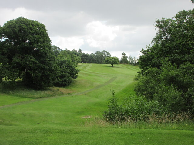
Inch is a small island located in the River Devon, in the region of Clackmannanshire, Scotland. Covering an area of approximately 10 hectares, this charming island is situated near the town of Alloa and can be accessed via a footbridge.

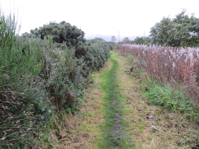
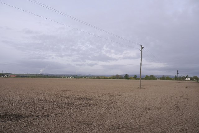
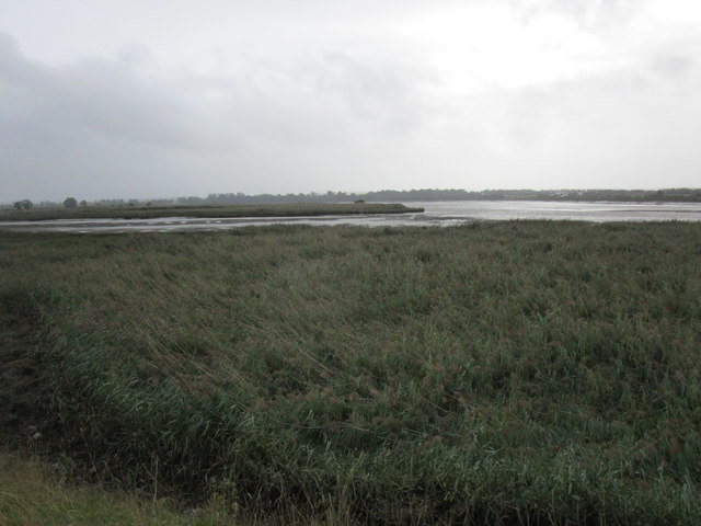
Inch is known for its natural beauty and tranquil atmosphere. The island is predominantly covered in lush greenery and is home to a variety of plant and animal species. Visitors can explore the island on foot, following the well-maintained paths that lead to scenic viewpoints and picnic areas. The surrounding river and its banks offer picturesque views, making it a popular spot for photography enthusiasts.

Historically, Inch was used for farming and was even home to a monastery in the 12th century. Today, the island serves as a recreational area, attracting locals and tourists alike. It offers a peaceful retreat for those seeking solitude or a peaceful picnic spot for families. Fishing enthusiasts can also be seen along the riverbanks, trying their luck at catching trout and salmon.

While Inch is relatively small in size, it holds great significance for the local community. Its beauty, tranquility, and historical importance make it a cherished location within Clackmannanshire. Whether one is looking to immerse themselves in nature, indulge in fishing, or simply enjoy a leisurely stroll, Inch offers a serene environment that is sure to captivate all who visit.

If you have any feedback on the listing, please let us know in the comments section below.

Inch Images

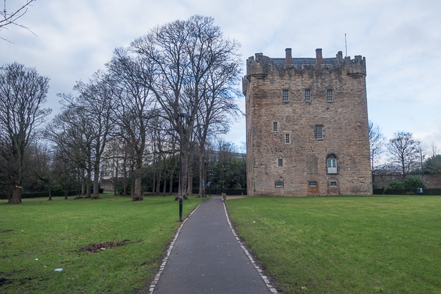
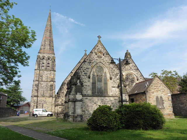
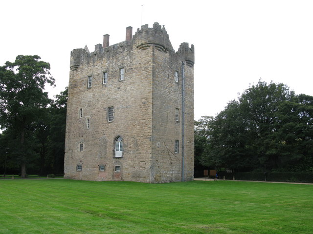
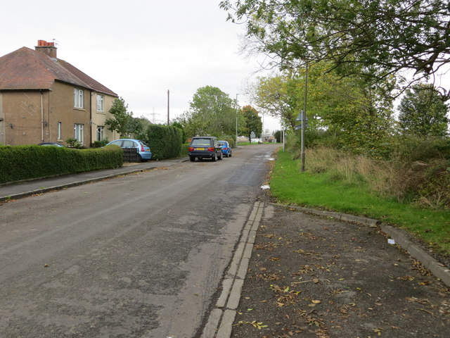
Images are sourced within 2km of 56.105971/-3.8164738 or Grid Reference NS8791. Thanks to Geograph Open Source API. All images are credited.

Braehead Golf Club, 7th Hole, Claremont The seventh hole at Braehead, looking down the entire length of the hole to the green in the distance.
Braehead Golf Club, 7th Hole, Claremont
The seventh hole at Braehead, looking down the entire length of the hole to the green in the distance.
Braehead Golf Club, 8th Hole, Sir James The short downhill eighth hole at Braehead from tee to green.
Braehead Golf Club, 8th Hole, Sir James
The short downhill eighth hole at Braehead from tee to green.
Braehead Golf Club, 9th Hole, Arn The ninth hole at Braehead, looking from the tee up the hill to the distant green to the left of the lone tree.
Braehead Golf Club, 9th Hole, Arn
The ninth hole at Braehead, looking from the tee up the hill to the distant green to the left of the lone tree.
Heading for Cambus Walkers were out enjoying a late-November stroll in winter sunshine.
Heading for Cambus
Walkers were out enjoying a late-November stroll in winter sunshine.
One School Global Caledonia This is a regulated independent school with a strong Christian ethos. Viewed from The Pavilions on the edge of the square.
One School Global Caledonia
This is a regulated independent school with a strong Christian ethos. Viewed from The Pavilions on the edge of the square.
Avenue to Alloa Tower Avenue of trees lining the path to Alloa Tower with Tesco car park
Avenue to Alloa Tower
Avenue of trees lining the path to Alloa Tower with Tesco car park
Alloa Tower The fourteenth century tower now sits in a small park
Alloa Tower
The fourteenth century tower now sits in a small park
Alloa, St John the Evangelist
Alloa Tower Alloa Tower is one of the five historical sites on the Clackmannanshire Tower Trail. It dates back to the 14th century, with 16th, 17th and late 18th century alterations, and is one of the largest surviving tower houses in Scotland. The tower was home to the Erskine family who had strong links to the Scottish Crown. They looked after Mary Queen of Scots and James VI when they were children.
In 1988, a large-scale restoration project was carried out at the tower, which saved it from ruin. The tower is now in the care of the National Trust for Scotland. It is a Category A listed building.
Alloa Tower
Alloa Tower is one of the five historical sites on the Clackmannanshire Tower Trail. It dates back to the 14th century, with 16th, 17th and late 18th century alterations, and is one of the largest surviving tower houses in Scotland. The tower was home to the Erskine family who had strong links to the Scottish Crown. They looked after Mary Queen of Scots and James VI when they were children. In 1988, a large-scale restoration project was carried out at the tower, which saved it from ruin. The tower is now in the care of the National Trust for Scotland. It is a Category A listed building.
Kersie Terrace at South Alloa Looking southward towards the A905.
Kersie Terrace at South Alloa
Looking southward towards the A905.
Footpath between the River Forth and Ferry Road at South Alloa Looking north-eastward.
Footpath between the River Forth and Ferry Road at South Alloa
Looking north-eastward.
Demolished factory, South Alloa The remains of the Thermalite factory in South Alloa, destined for housing.
Demolished factory, South Alloa
The remains of the Thermalite factory in South Alloa, destined for housing.
Telephone box, South Alloa
Newly cultivated land near Throsk A lot of crops were late going in after a long cold spell during Spring.
Newly cultivated land near Throsk
A lot of crops were late going in after a long cold spell during Spring.
42 Glasshouse Loan House on the junction of Glasshouse Loan and Craigward, Alloa
42 Glasshouse Loan
House on the junction of Glasshouse Loan and Craigward, Alloa
Longcarse Farm A farmhouse at the western end of Kelliebank, Alloa. The lane leads on to gated access to Longcarse Farm Cottages.
Longcarse Farm
A farmhouse at the western end of Kelliebank, Alloa. The lane leads on to gated access to Longcarse Farm Cottages.
Reedbed and Tullibody Inch The main course of the River Forth to the right of the picture.
Reedbed and Tullibody Inch
The main course of the River Forth to the right of the picture.
Orchard Farm Seen from the river bank.
Orchard Farm
Seen from the river bank.
Show me another place!

Inch is located at Grid Ref: NS8791 (Lat: 56.105971, Lng: -3.8164738)

Unitary Authority: Clackmannanshire

Police Authority: Forth Valley

What 3 Words

///ground.chill.speak. Near Alloa, Clackmannanshire

Related Wikis

Alloa Inch

Inch or Alloa Inch (Scottish Gaelic: innis, island) is an island in the tidal reaches of the River Forth near Alloa, just before the river opens out into...

South Alloa

South Alloa is a small village which lies in the far north of the Falkirk council area of Scotland. The village is on the south bank of the River Forth...

South Alloa railway station

South Alloa railway station, located south of the River Forth, served the village of South Alloa, Scotland and the town of Alloa via a ferry link from...

Tullibody Inch

Tullibody Inch is an islet in the estuarine waters of the River Forth. It takes its name from the nearby town of Tullibody, "inch" being from the Scottish...

Nearby Amenities

Located within 500m of 56.105971,-3.8164738
Created By: almien_coastlines
Lat/Long: 56.108802/-3.8201893
Created By: almien_coastlines
Lat/Long: 56.1092552/-3.8197816
Created By: almien_coastlines
Lat/Long: 56.1096381/-3.8179132
Created By: almien_coastlines
Lat/Long: 56.109558/-3.814051
Created By: almien_coastlines
Lat/Long: 56.108299/-3.810816
Created By: almien_coastlines
Lat/Long: 56.10804/-3.811269
Created By: almien_coastlines
Lat/Long: 56.107522/-3.812175
Created By: almien_coastlines
Lat/Long: 56.1072006/-3.8123516
Created By: almien_coastlines
Lat/Long: 56.106752/-3.8125812
Created By: almien_coastlines
Lat/Long: 56.105981/-3.81283
Created By: almien_coastlines
Lat/Long: 56.105469/-3.81282
Created By: almien_coastlines
Lat/Long: 56.104957/-3.812809
Created By: almien_coastlines
Lat/Long: 56.104445/-3.812798
Created By: almien_coastlines
Lat/Long: 56.103029/-3.813913
Created By: almien_coastlines
Lat/Long: 56.1029/-3.81414
Created By: almien_coastlines
Lat/Long: 56.1023702/-3.8156082
The data included in this document is from www.openstreetmap.org. The data is made available under ODbL.

Have you been to Inch?

Leave your review of Inch below (or comments, questions and feedback).