Kersie Mains

Settlement in Stirlingshire

Scotland

Kersie Mains

Kersie Terrace at South Alloa Looking southward towards the A905.
Kersie Terrace at South Alloa Credit: Peter Wood

Kersie Mains is a small village located in Stirlingshire, Scotland. Situated approximately 5 miles southwest of the town of Falkirk, it is nestled in the beautiful countryside and surrounded by rolling hills and farmland. The village is part of the larger Larbert and Stenhousemuir area.

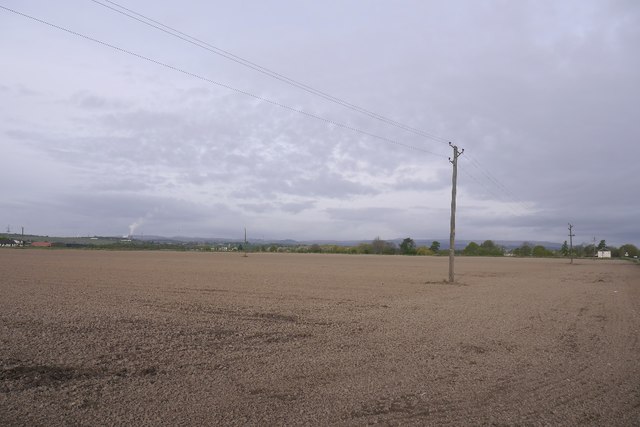
Kersie Mains is known for its tranquil and picturesque scenery, making it a popular destination for nature lovers and outdoor enthusiasts. The village is surrounded by lush green fields, offering stunning views and plenty of opportunities for walking, cycling, and exploring the countryside.

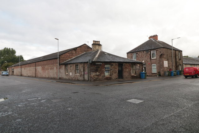
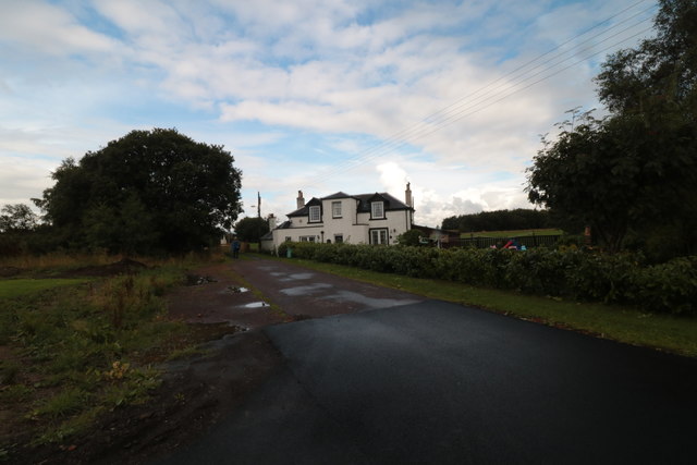
Although small in size, Kersie Mains has a close-knit community that takes pride in its heritage and local traditions. The village features a few traditional stone houses and cottages, giving it a charming and rustic feel. The residents of Kersie Mains are known for their warm hospitality and friendly nature.

While the village itself may not have many amenities, it benefits from its proximity to larger towns like Falkirk and Stirling. These towns provide a range of services and facilities, including shops, schools, healthcare centers, and recreational activities. Kersie Mains also benefits from excellent transport links, with easy access to major roads and public transportation.

Overall, Kersie Mains offers a peaceful and idyllic lifestyle, away from the hustle and bustle of city life. Its natural beauty and community spirit make it a desirable place to live for those seeking a quieter and more rural setting.

If you have any feedback on the listing, please let us know in the comments section below.
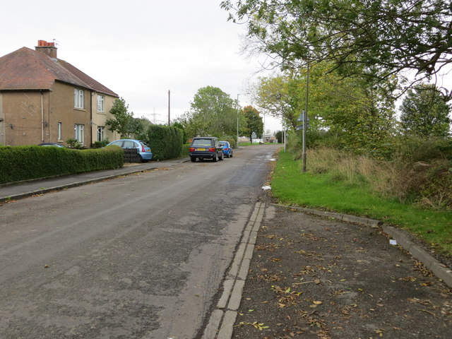
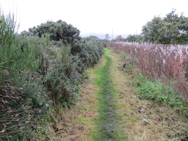
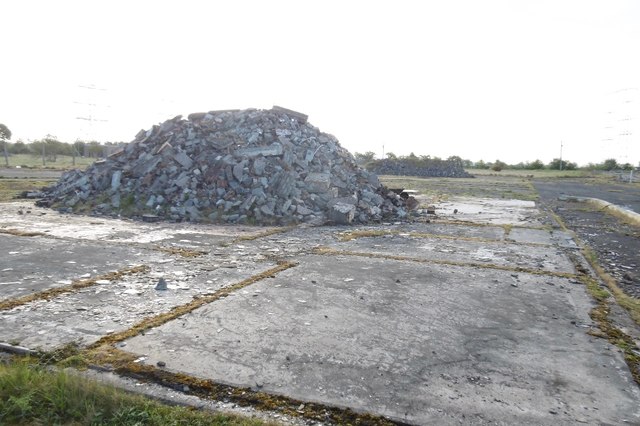
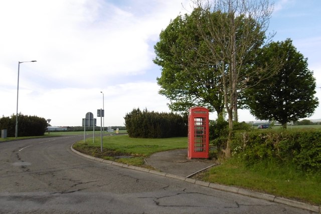
Kersie Mains Images

Images are sourced within 2km of 56.098372/-3.8180934 or Grid Reference NS8791. Thanks to Geograph Open Source API. All images are credited.

Kersie Terrace at South Alloa Looking southward towards the A905.
Kersie Terrace at South Alloa
Looking southward towards the A905.
Footpath between the River Forth and Ferry Road at South Alloa Looking north-eastward.
Footpath between the River Forth and Ferry Road at South Alloa
Looking north-eastward.
Demolished factory, South Alloa The remains of the Thermalite factory in South Alloa, destined for housing.
Demolished factory, South Alloa
The remains of the Thermalite factory in South Alloa, destined for housing.
Telephone box, South Alloa
Newly cultivated land near Throsk A lot of crops were late going in after a long cold spell during Spring.
Newly cultivated land near Throsk
A lot of crops were late going in after a long cold spell during Spring.
42 Glasshouse Loan House on the junction of Glasshouse Loan and Craigward, Alloa
42 Glasshouse Loan
House on the junction of Glasshouse Loan and Craigward, Alloa
Longcarse Farm A farmhouse at the western end of Kelliebank, Alloa. The lane leads on to gated access to Longcarse Farm Cottages.
Longcarse Farm
A farmhouse at the western end of Kelliebank, Alloa. The lane leads on to gated access to Longcarse Farm Cottages.
Reedbed and Tullibody Inch The main course of the River Forth to the right of the picture.
Reedbed and Tullibody Inch
The main course of the River Forth to the right of the picture.
The bank of the River Forth The river just visible to the right. Industries at South Alloa visible on the extreme left.
The bank of the River Forth
The river just visible to the right. Industries at South Alloa visible on the extreme left.
A905, Throsk
A905, Throsk
Themalite site, South Alloa Demolished factory site, looks much as it did in 2017: <a href="https://www.geograph.org.uk/photo/5705929">NS8791 : Demolished factory, South Alloa</a>
Themalite site, South Alloa
Demolished factory site, looks much as it did in 2017: NS8791 : Demolished factory, South Alloa
Forth estuary, South Alloa No Luskentyrians were spotted packrafting in an inner tube.  (I am reading Whit by Iain Banks at time of submission).
Forth estuary, South Alloa
No Luskentyrians were spotted packrafting in an inner tube. (I am reading Whit by Iain Banks at time of submission).
Alloa Inch from South Alloa Looking across the river Forth and its mudflats which are numerous on this stretch of the river towards Alloa Inch which is an island in the middle of the river. The pier and a few old boats can be seen on the island which is a site of special scientific interest. On the left horizon the Wallace Monument at Stirling can also be seen.
Alloa Inch from South Alloa
Looking across the river Forth and its mudflats which are numerous on this stretch of the river towards Alloa Inch which is an island in the middle of the river. The pier and a few old boats can be seen on the island which is a site of special scientific interest. On the left horizon the Wallace Monument at Stirling can also be seen.
South Kersie Arable farm on the Forth flood plain.
South Kersie
Arable farm on the Forth flood plain.
Meadowfield No meadows now, and hedgerows not required - arable land beside the Forth.
Meadowfield
No meadows now, and hedgerows not required - arable land beside the Forth.
Mains of Throsk Arable land, a very flat square.
Mains of Throsk
Arable land, a very flat square.
Mains of Throsk Whilst most land here is arable, there still is some livestock. Bull grazing on spring growth.
Mains of Throsk
Whilst most land here is arable, there still is some livestock. Bull grazing on spring growth.
Forth Railway Bridge The railway between Throsk and Alloa was authorised in 1879 as a branch from the Caledonian Railway's South Alloa branch, the CR absorbed the line in 1884 and it was closed from 6 May 1968. The photograph is from the middle of the river, we are passing through where the swing span was, and shows the southern part of the bridge. This bridge, until the opening of the Forth Bridge at Queensferry, was the most downstream bridge on the Forth. Latterly it was a somewhat rickety affair with a 10mph speed restriction and was used by a shuttle service between Larbert and Alloa operated by a 4 wheel diesel railbus although, in earlier years, there had been through Glasgow - Perth services via the Devon Valley. The bridge, by the way, is not shown on the OS 1/50000 map (!) but is on the Admiralty Charts, fortunately.
Forth Railway Bridge
The railway between Throsk and Alloa was authorised in 1879 as a branch from the Caledonian Railway's South Alloa branch, the CR absorbed the line in 1884 and it was closed from 6 May 1968. The photograph is from the middle of the river, we are passing through where the swing span was, and shows the southern part of the bridge. This bridge, until the opening of the Forth Bridge at Queensferry, was the most downstream bridge on the Forth. Latterly it was a somewhat rickety affair with a 10mph speed restriction and was used by a shuttle service between Larbert and Alloa operated by a 4 wheel diesel railbus although, in earlier years, there had been through Glasgow - Perth services via the Devon Valley. The bridge, by the way, is not shown on the OS 1/50000 map (!) but is on the Admiralty Charts, fortunately.
Show me another place!

Kersie Mains is located at Grid Ref: NS8791 (Lat: 56.098372, Lng: -3.8180934)

Unitary Authority: Falkirk

Police Authority: Forth Valley

What 3 Words

///answer.swim.yours. Near Alloa, Clackmannanshire

Related Wikis

South Alloa

South Alloa is a small village which lies in the far north of the Falkirk council area of Scotland. The village is on the south bank of the River Forth...

Throsk railway station

The Throsk railway station was a railway station that served the village of Throsk, Stirling, Scotland from 1890 to 1966. == History == The station was...
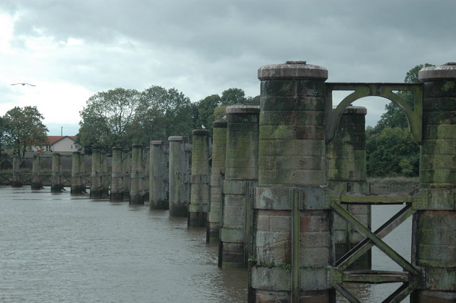
Alloa Swing Bridge

The Alloa Swing Bridge was a railway swing bridge across the River Forth that connected Throsk and Alloa as part of the Alloa Railway. The structure was...

Alloa Inch

Inch or Alloa Inch (Scottish Gaelic: innis, island) is an island in the tidal reaches of the River Forth near Alloa, just before the river opens out into...

Nearby Amenities

Located within 500m of 56.098372,-3.8180934
Created By: almien_coastlines
Lat/Long: 56.1020191/-3.8227611
Created By: almien_coastlines
Lat/Long: 56.1023702/-3.8156082
Material: wood
Power: pole
Lat/Long: 56.0970399/-3.8250671
Power: pole
Lat/Long: 56.0968816/-3.8235103
Power: pole
Lat/Long: 56.0967477/-3.8221016
Material: wood
Power: pole
Lat/Long: 56.0970271/-3.8213253
Power: pole
Lat/Long: 56.0976754/-3.8205845
Power: pole
Lat/Long: 56.0983121/-3.8198562
Power: pole
Lat/Long: 56.0989616/-3.8191091
Power: pole
Lat/Long: 56.0992084/-3.817905
Power: pole
Lat/Long: 56.0994458/-3.8167009
Power: pole
Lat/Long: 56.0996809/-3.815526
Material: wood
Power: pole
Lat/Long: 56.1007634/-3.8119658
The data included in this document is from www.openstreetmap.org. The data is made available under ODbL.

Have you been to Kersie Mains?

Leave your review of Kersie Mains below (or comments, questions and feedback).