Soundwell
Settlement in Gloucestershire
England
Soundwell

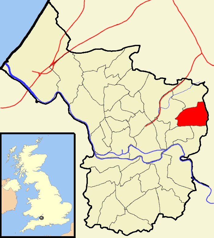
Soundwell is a small suburban area located in the county of Gloucestershire, England. Situated approximately 7 miles east of the city of Bristol, Soundwell is a part of the South Gloucestershire district. It is bordered by the neighborhoods of Fishponds, Staple Hill, and Kingswood, and is nestled within the beautiful countryside of the South West region.
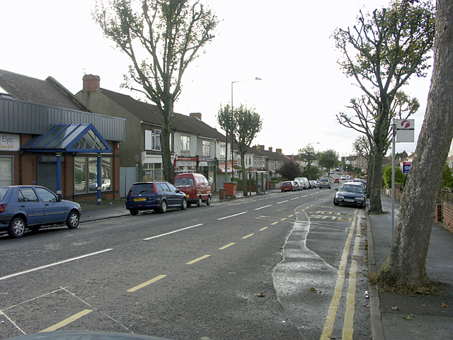
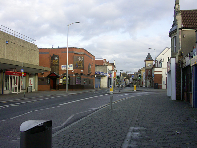
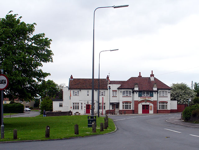
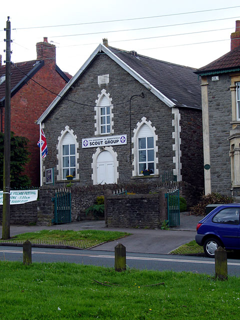
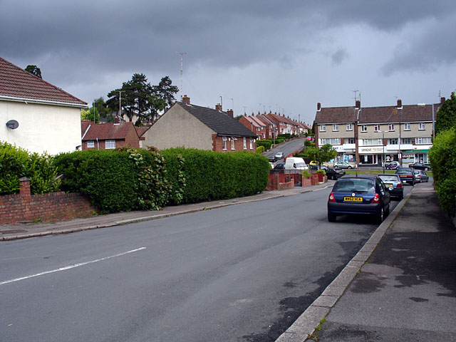
The area of Soundwell predominantly consists of residential properties, with a mix of modern houses and older terraced homes. The community in Soundwell is known for its friendly and welcoming atmosphere, making it an ideal place for families and individuals alike. The area boasts a range of amenities, including local shops, pubs, and restaurants that cater to the needs of its residents.
One of Soundwell's notable features is its close proximity to the Bristol and Bath Railway Path, a popular cycling and walking trail that runs along the former Midland Railway line. This scenic route provides a great opportunity for outdoor activities, offering stunning views of the surrounding countryside.
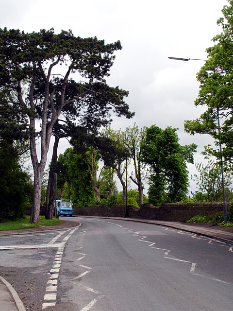
Soundwell benefits from excellent transport links, with frequent bus services connecting the area to Bristol city center and other nearby towns. The nearby M32 motorway also provides easy access to the wider road network, making Soundwell an appealing location for commuters.
Overall, Soundwell offers a tranquil and picturesque setting, combined with convenient access to urban amenities. It is a charming place to reside, providing a balance between the peaceful countryside and the vibrancy of nearby urban centers.
If you have any feedback on the listing, please let us know in the comments section below.
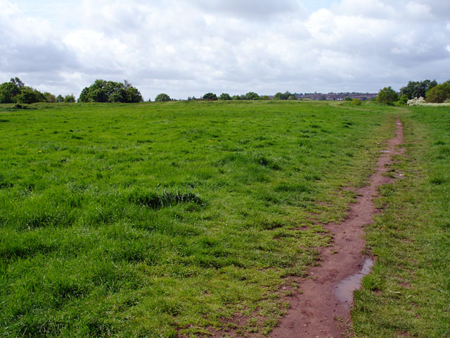
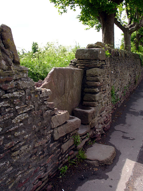
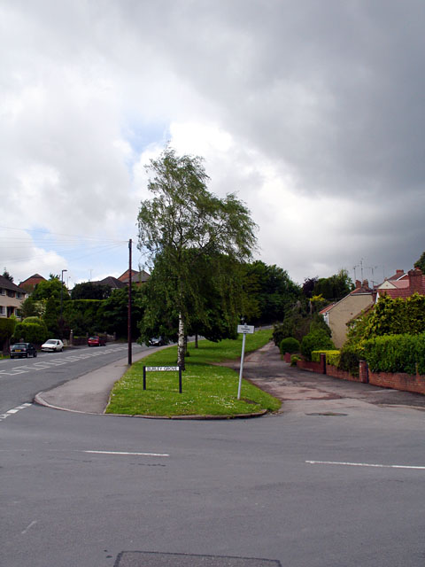
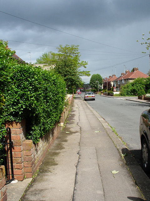
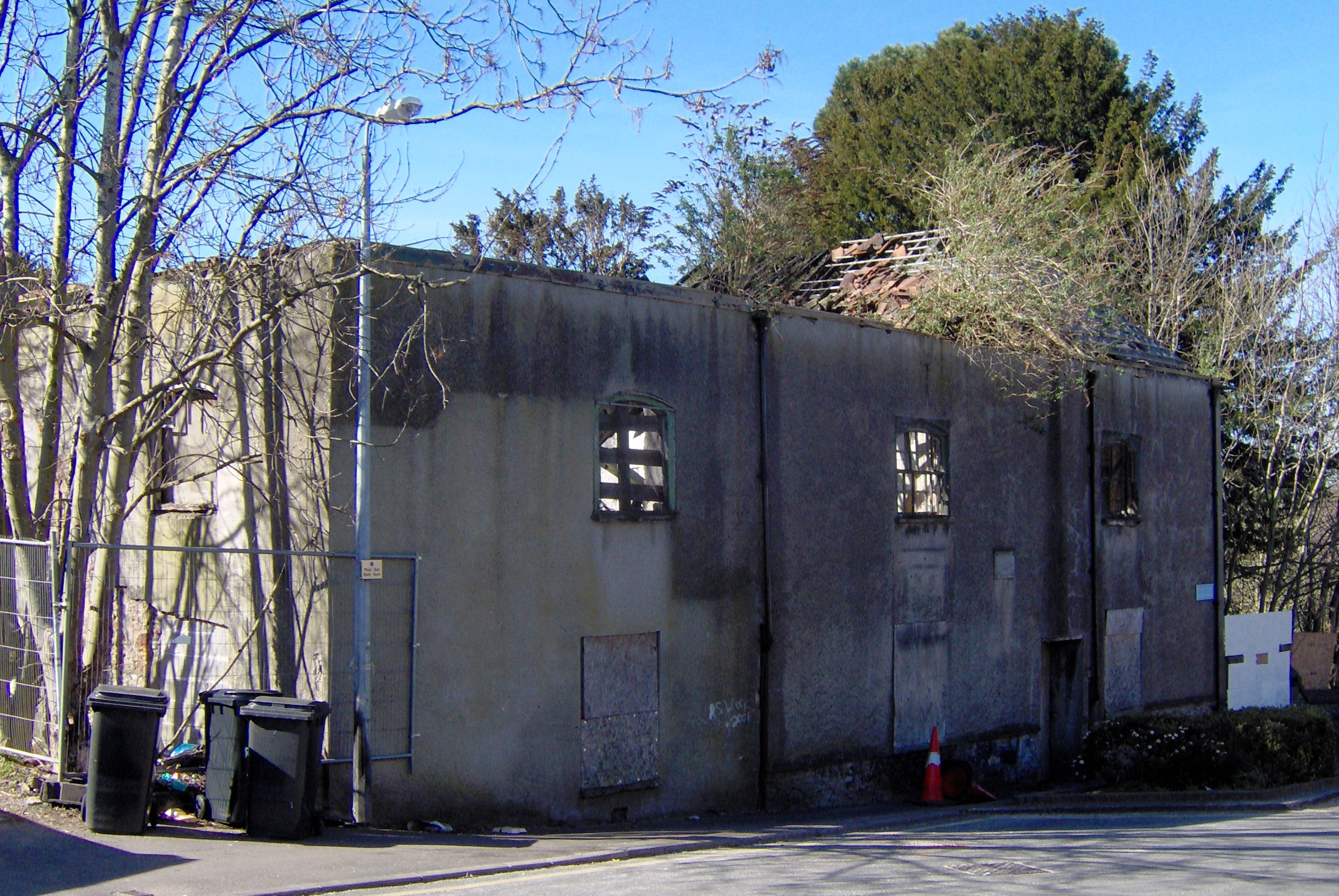
Soundwell Images
Images are sourced within 2km of 51.472873/-2.5053088 or Grid Reference ST6575. Thanks to Geograph Open Source API. All images are credited.


Soundwell is located at Grid Ref: ST6575 (Lat: 51.472873, Lng: -2.5053088)
Unitary Authority: South Gloucestershire
Police Authority: Avon and Somerset
What 3 Words
///discouraged.estate.books. Near Mangotsfield, Gloucestershire
Nearby Locations
Related Wikis

Soundwell
Soundwell, Bristol is a suburb of Bristol, England in the South Gloucestershire District. It is situated between Kingswood and Staple Hill. Located centrally...
Lodge Hill, Bristol
Lodge Hill is a hill and residential area of Bristol, England. It is in the electoral ward of Hillfields, Bristol, separating the large outer urban areas...

Staple Hill, Gloucestershire
Staple Hill is a suburb of Bristol, England, lying outside the city boundary in South Gloucestershire, in the ceremonial county of Gloucestershire. It...
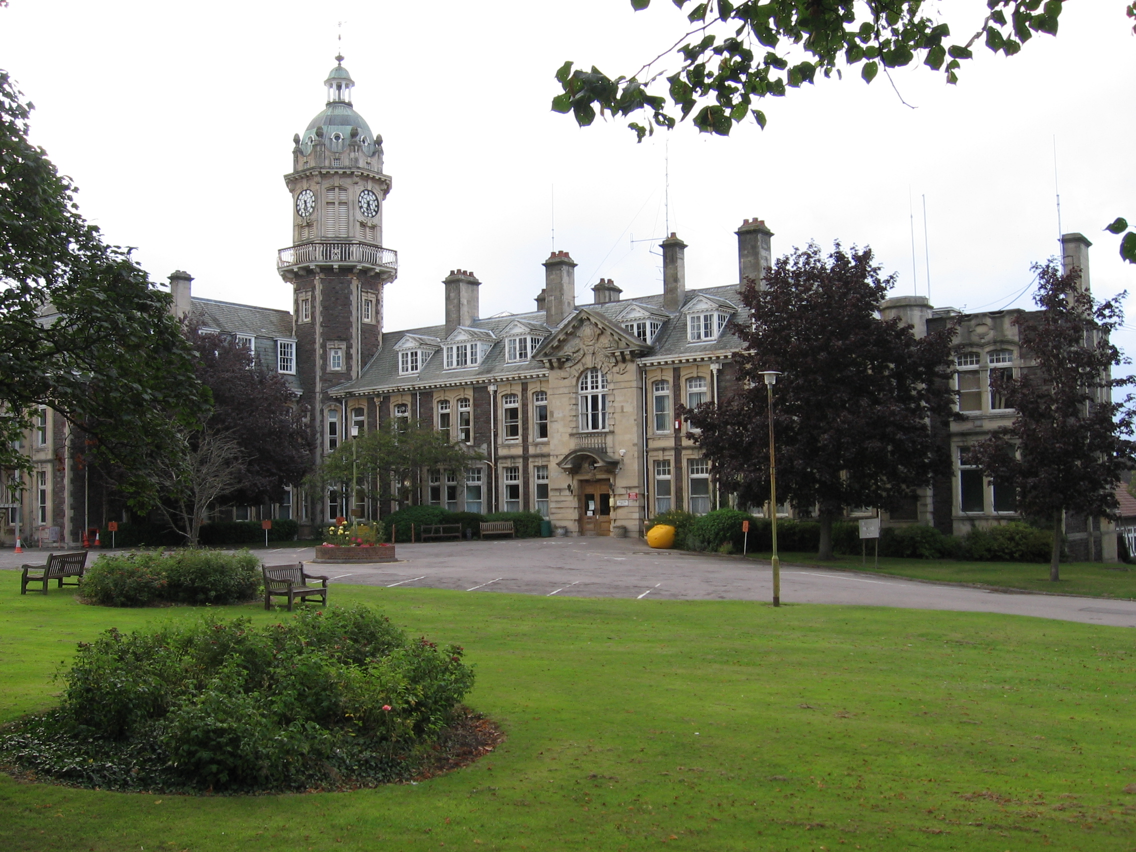
Cossham Memorial Hospital
Cossham Memorial Hospital is a community hospital, founded in 1907, in Hillfields, Bristol, England. == History == The hospital was built by Frederick...

Staple Hill railway station
Staple Hill railway station was on the Midland Railway line between Bristol and Gloucester on the outskirts of Bristol. The station was on the Bristol...
Hillfields, Bristol
Hillfields is an area and ward of north-east Bristol. The Ward of Hillfields covers the following areas of Bristol: Chester Park Hillfields East Hillfields...
Whitefield's Tabernacle, Kingswood
Whitefield's sometimes Whitfield's Tabernacle is a former Calvinistic Methodist and Congregational (now United Reformed) church in Kingswood, a town on...
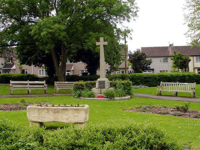
Page Park, Staple Hill
Page Park is a park in the Staple Hill area of South Gloucestershire.In 1910, the park was donated to the people of Staple Hill by Arthur William Page...
Nearby Amenities
Located within 500m of 51.472873,-2.5053088Have you been to Soundwell?
Leave your review of Soundwell below (or comments, questions and feedback).