Sound Heath
Settlement in Cheshire
England
Sound Heath

Sound Heath is a small village located in the county of Cheshire, England. Situated approximately 3 miles south of the town of Nantwich, Sound Heath is nestled amidst the picturesque Cheshire countryside, offering residents and visitors a tranquil and idyllic setting.
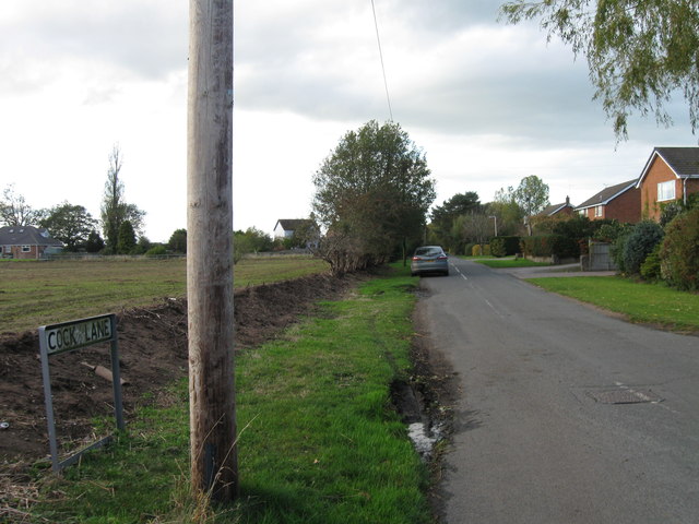
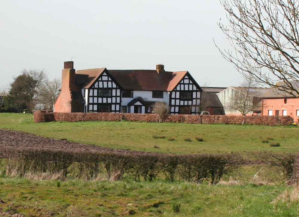
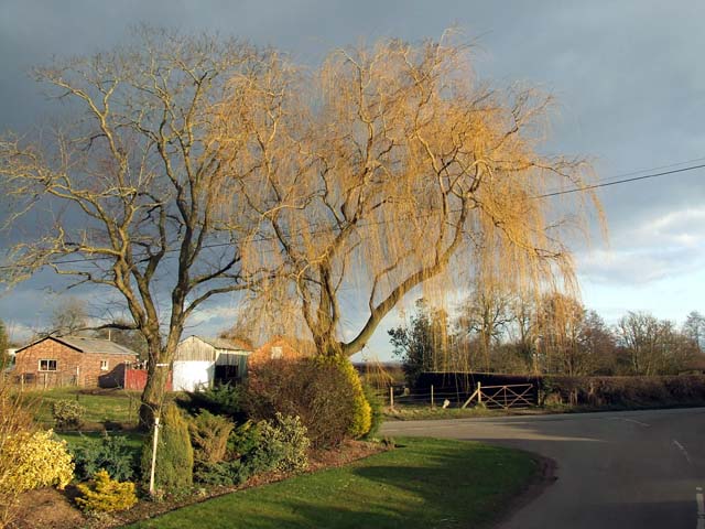
The village is known for its charming rural character, with a scattering of traditional cottages and farmhouses dotting the landscape. The surrounding agricultural fields and meadows provide a scenic backdrop, making it an ideal place for nature lovers and those seeking a peaceful retreat.
Despite its modest size, Sound Heath benefits from good transportation links. The nearby A530 road connects the village to Nantwich, Crewe, and other neighboring towns, making it easily accessible by car. Public transportation is also available, with regular bus services connecting Sound Heath to surrounding areas.
Although Sound Heath does not have its own primary school or post office, residents have access to a range of amenities in nearby towns. Nantwich offers a wide selection of shops, supermarkets, restaurants, and leisure facilities, ensuring that all essential needs are easily met.
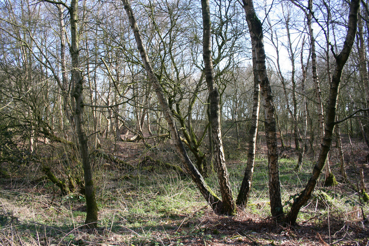
The village is surrounded by an abundance of outdoor recreational opportunities. The nearby Sound Heath Common provides ample space for walking, jogging, or simply enjoying the natural surroundings. Additionally, the charming Shropshire Union Canal passes close by, offering opportunities for boating, fishing, and cycling along its scenic towpaths.
In conclusion, Sound Heath is a peaceful and picturesque village in Cheshire, offering residents and visitors a charming rural setting with easy access to nearby amenities and outdoor activities.
If you have any feedback on the listing, please let us know in the comments section below.
Sound Heath Images
Images are sourced within 2km of 53.028368/-2.566568 or Grid Reference SJ6248. Thanks to Geograph Open Source API. All images are credited.


Sound Heath is located at Grid Ref: SJ6248 (Lat: 53.028368, Lng: -2.566568)
Unitary Authority: Cheshire East
Police Authority: Cheshire
What 3 Words
///unwraps.guitar.stitch. Near Nantwich, Cheshire
Nearby Locations
Related Wikis
Sound Heath
Sound Heath, also known as Sound Common, is an area of common land in Sound, near Nantwich in Cheshire, England, which includes heathland, grassland, scrub...
Sound, Cheshire
Sound is a hamlet (at SJ619483) and civil parish in the unitary authority of Cheshire East and the ceremonial county of Cheshire, England. The hamlet is...
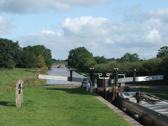
Broomhall, Cheshire
Broomhall is a civil parish in the unitary authority of Cheshire East and the ceremonial county of Cheshire, England. The main line of the Shropshire Union...

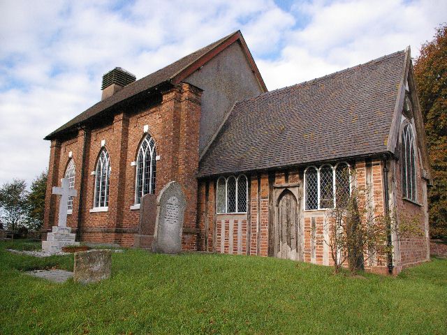
Aston by Wrenbury
Aston (also known as Aston by Wrenbury, Aston in Wrenbury, Aston by Newhall, Aston in Newhall and Aston near Audlem) is a village in the civil parish of...
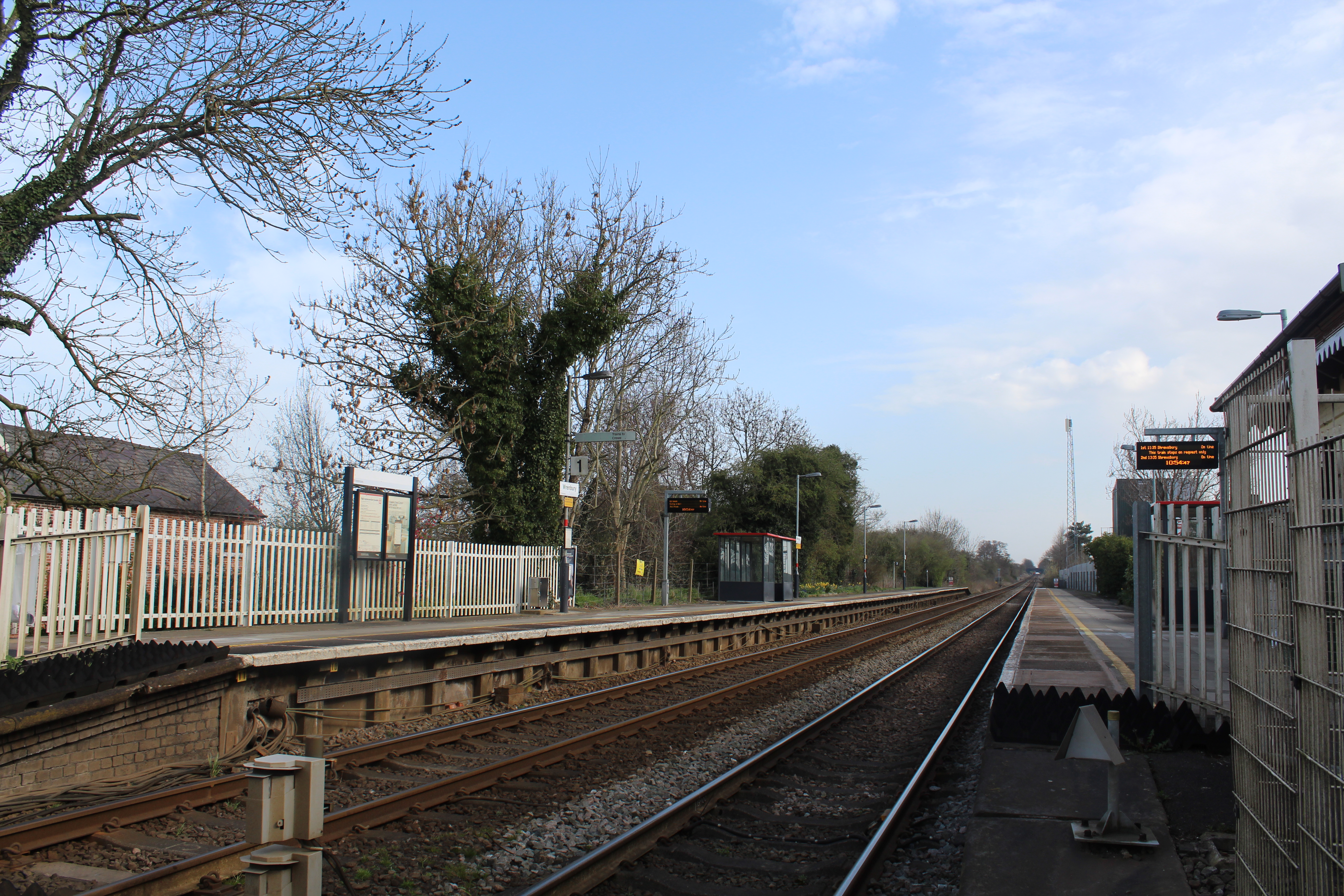
Wrenbury railway station
Wrenbury railway station serves the village of Wrenbury in Cheshire, England and is on the Welsh Marches Line 9 miles (14 km) south west of Crewe. It is...
Baddiley
Baddiley is a scattered settlement and civil parish in the unitary authority of Cheshire East and the ceremonial county of Cheshire, England. The civil...
Baddington
Baddington is a civil parish in the unitary authority of Cheshire East and the ceremonial county of Cheshire, England, which lies immediately to the south...
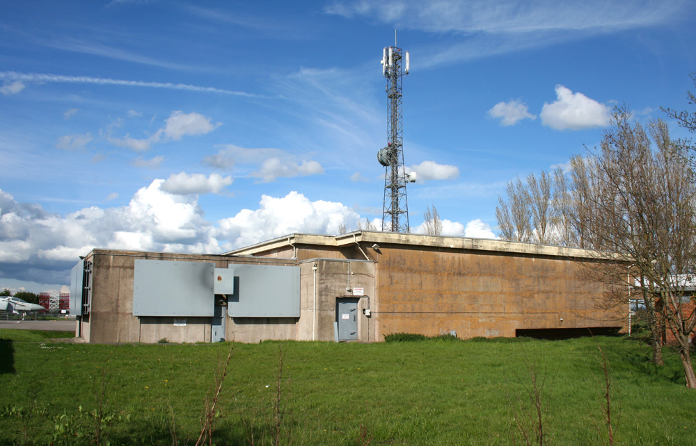
Hack Green Secret Nuclear Bunker
The Hack Green Secret Nuclear Bunker is a former government-owned nuclear bunker located at Hack Green, Cheshire, England. == History == The first military...
Nearby Amenities
Located within 500m of 53.028368,-2.566568Have you been to Sound Heath?
Leave your review of Sound Heath below (or comments, questions and feedback).