Charn Hill

Hill, Mountain in Gloucestershire

England

Charn Hill

Downend (Glos) St Augustine of Canterbury RC Church Really a suburb of Bristol, but South Glos people  are fiercely independent. This Catholic Church is a notable feature in this sea of 1950s and 1960s housing.
Downend (Glos) St Augustine of Canterbury RC Church Credit: ChurchCrawler

Charn Hill is located in the picturesque county of Gloucestershire, in the southwest region of England. With an elevation of approximately 218 meters (715 feet), it is classified as a hill rather than a mountain. Situated near the village of Chedworth, Charn Hill offers stunning panoramic views of the surrounding countryside.

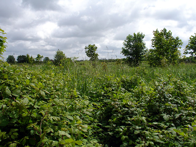
The hill is formed from sedimentary rocks, primarily limestone, which is characteristic of the Cotswolds area. It is part of the Cotswold Hills, a designated Area of Outstanding Natural Beauty. The landscape is characterized by rolling hills, green pastures, and charming villages.

Charn Hill is a popular destination for outdoor enthusiasts and nature lovers. It boasts a network of footpaths and trails that crisscross the area, offering visitors the opportunity to explore the natural beauty of the region. The hill is home to an array of flora and fauna, including wildflowers, birds, and small mammals.

One of the main attractions on Charn Hill is the Iron Age hillfort, which dates back over two thousand years. The hillfort consists of earthworks and defensive ramparts, providing a glimpse into the region's ancient history. Archaeological excavations have revealed artifacts and evidence of human settlement, contributing to our understanding of the area's past.

Charn Hill is easily accessible, with parking available near the trailheads. It provides a peaceful and tranquil escape from the hustle and bustle of daily life, allowing visitors to connect with nature and enjoy the breathtaking views. Whether it's a leisurely hike or a picnic overlooking the countryside, Charn Hill offers a delightful experience for all.

If you have any feedback on the listing, please let us know in the comments section below.
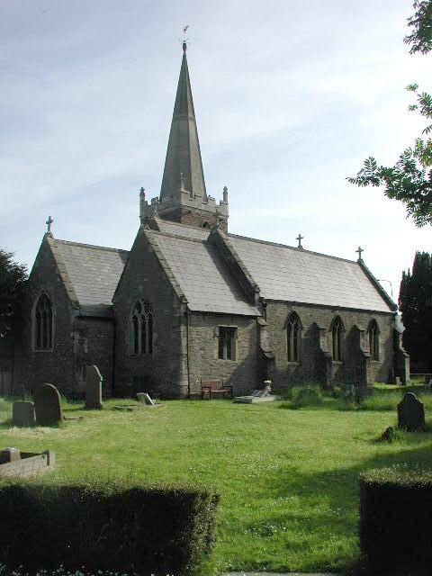
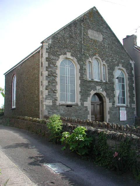
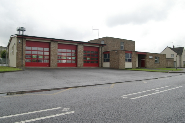
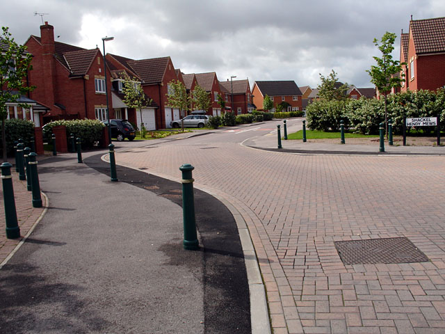
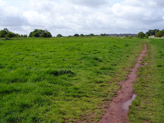
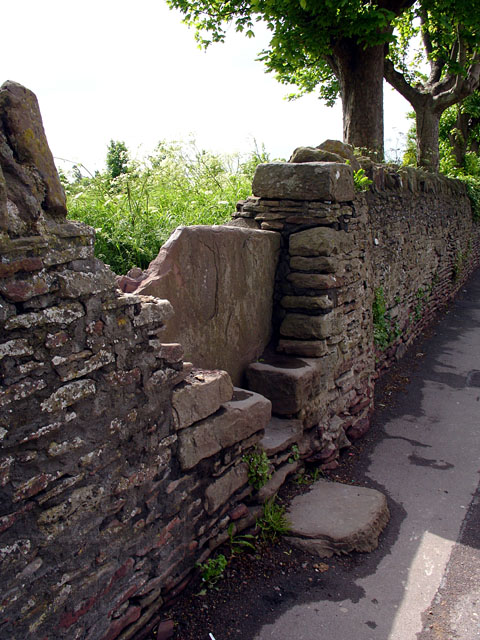
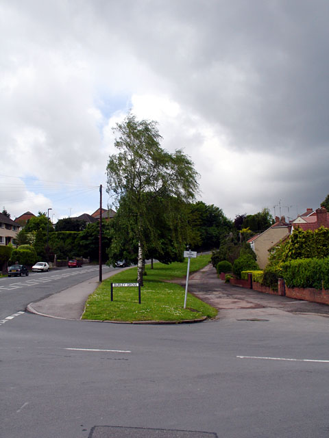
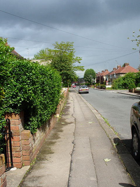
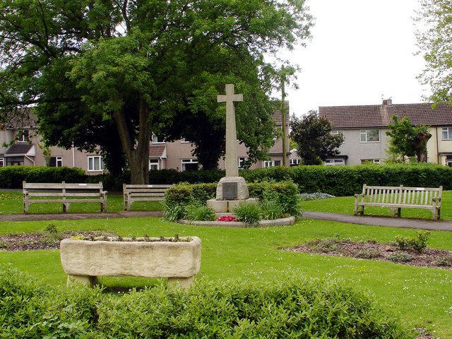
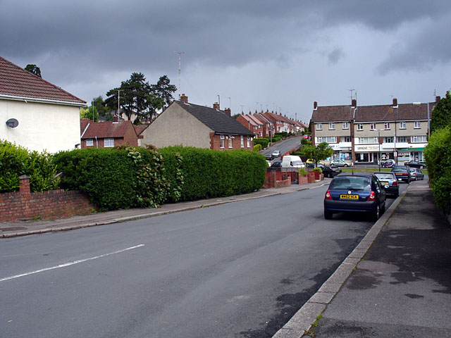
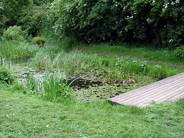
Charn Hill Images

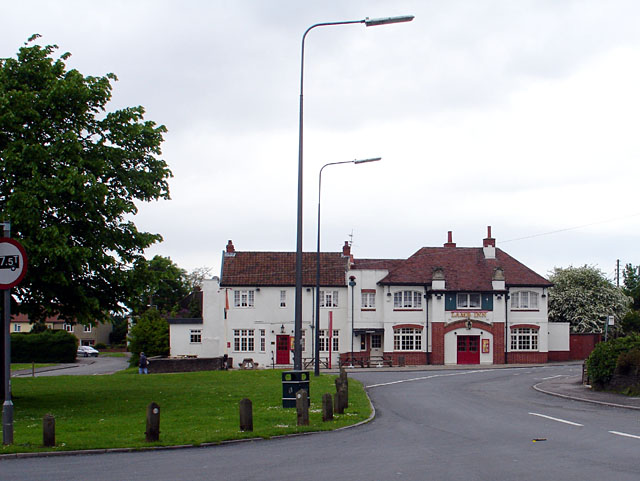
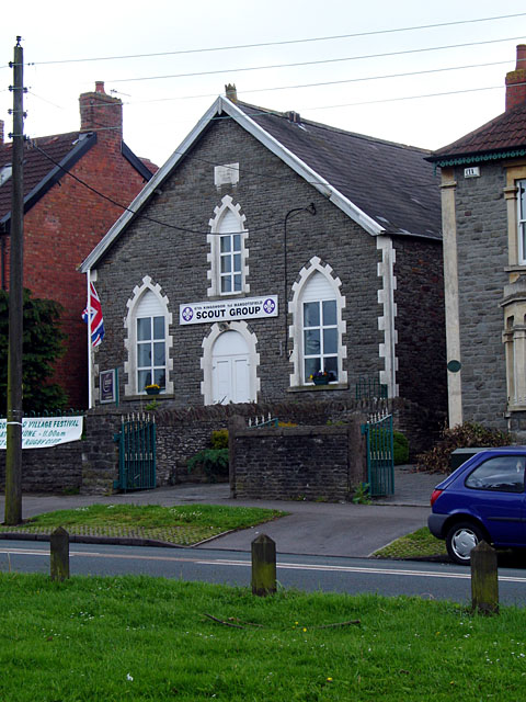
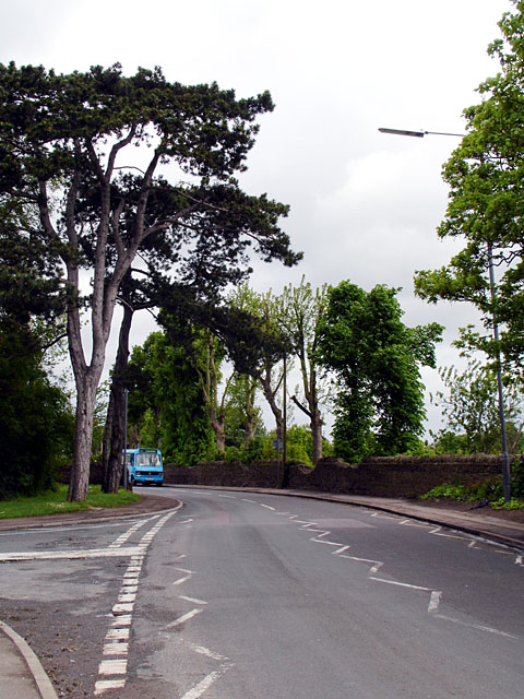
Images are sourced within 2km of 51.478737/-2.4921981 or Grid Reference ST6575. Thanks to Geograph Open Source API. All images are credited.

Downend (Glos) St Augustine of Canterbury RC Church Really a suburb of Bristol, but South Glos people  are fiercely independent. This Catholic Church is a notable feature in this sea of 1950s and 1960s housing.
Downend (Glos) St Augustine of Canterbury RC Church
Really a suburb of Bristol, but South Glos people are fiercely independent. This Catholic Church is a notable feature in this sea of 1950s and 1960s housing.
Mangotsfield (Glos) St James Church
Shortwood (Glos) Primitive Methodist Chapel
Kingswood Fire Station Kingswood Fire Station, Tenniscourt Road, Bristol is station number 10 of Avon Fire & Rescue Service
Kingswood Fire Station
Kingswood Fire Station, Tenniscourt Road, Bristol is station number 10 of Avon Fire & Rescue Service
Emerson's Green Looking down Shackel Hendy Mews.

Very quiet roads, hardly met a single pedestrian along my journey.
Emerson's Green
Looking down Shackel Hendy Mews. Very quiet roads, hardly met a single pedestrian along my journey.
Rodway Hill Rodway Hill covers an area of around 34.5 acres. The name Rodway comes from the Celtic words 'rod' which means feed and 'way' which means watery. The land originally belonged to the King, and in Saxon times deer, hare, rabbit, wolf, fox and boar were all found here.
Information from a notice board near the road-side.
Rodway Hill
Rodway Hill covers an area of around 34.5 acres. The name Rodway comes from the Celtic words 'rod' which means feed and 'way' which means watery. The land originally belonged to the King, and in Saxon times deer, hare, rabbit, wolf, fox and boar were all found here. Information from a notice board near the road-side.
Stile on Rodway Road This stile is at the end of a path joining Rodway Hill Road and Cossham Street.
Stile on Rodway Road
This stile is at the end of a path joining Rodway Hill Road and Cossham Street.
Burley Grove Road junction where Burley Grove joins Mangotsfield Road, looking west. The small road which borders the grassy area is Broad St.
Burley Grove
Road junction where Burley Grove joins Mangotsfield Road, looking west. The small road which borders the grassy area is Broad St.
Looking along Burley Grove
The Lamb Inn, Mangotsfield This was originally comprised of 3 cottages, and date from 1596. There are references to a brewhouse in 1737. Most of the present structure dates from the 19th century.
The Lamb Inn, Mangotsfield
This was originally comprised of 3 cottages, and date from 1596. There are references to a brewhouse in 1737. Most of the present structure dates from the 19th century.
67th Kingswood 1st Mangotsfield Scout Group Taken from on Mangotsfield Common, this building was bought by the 67th Kingswood 1st Mangotsfield Scout Troop  in 1970 and renamed Baden Hall. It was originally the Wesleyan Methodist Church, which was built on land which was once part of the Hill House Estate.
67th Kingswood 1st Mangotsfield Scout Group
Taken from on Mangotsfield Common, this building was bought by the 67th Kingswood 1st Mangotsfield Scout Troop in 1970 and renamed Baden Hall. It was originally the Wesleyan Methodist Church, which was built on land which was once part of the Hill House Estate.
Looking along Rodway Hill Road At the junction of Rodway Hill Road and Manor Road, with a local bus just coming into view.
Rodway Hill Farm is behind the wall, although the land looked very overgrown.
Looking along Rodway Hill Road
At the junction of Rodway Hill Road and Manor Road, with a local bus just coming into view. Rodway Hill Farm is behind the wall, although the land looked very overgrown.
Rodway Hill Farm Marked on the map as Rodway Hill Farm.
Rodway Hill Farm
Marked on the map as Rodway Hill Farm.
Mangotsfield War Memorial The War Memorial is situated on the cross-roads in the centre of Mangotsfield.
Mangotsfield War Memorial
The War Memorial is situated on the cross-roads in the centre of Mangotsfield.
Looking along Burley Grove Looking out of grid square ST6575 into ST6576, the grid line is near the white van. The road beyond (going up a slight hill) is Almond Way. This is an area which contains council/housing association housing.
Looking along Burley Grove
Looking out of grid square ST6575 into ST6576, the grid line is near the white van. The road beyond (going up a slight hill) is Almond Way. This is an area which contains council/housing association housing.
Vinny Green Wildlife Pond This pond has been fenced off.
Vinny Green Wildlife Pond
This pond has been fenced off.
Emersons Green Lane This junction of Emersons Green Lane and Guest Avenue, is a cross-roads at which you must go straight on, no-matter which direction you approach it from, due to the narrowness and the bollards. View of the same junction from a different direction <a href="https://www.geograph.org.uk/photo/174593">ST6676 : Guest Avenue Crossroads</a>.
The lane running in this direction appears on maps 100 years ago, whereas the road crossing it is much newer.
Emersons Green Lane
This junction of Emersons Green Lane and Guest Avenue, is a cross-roads at which you must go straight on, no-matter which direction you approach it from, due to the narrowness and the bollards. View of the same junction from a different direction ST6676 : Guest Avenue Crossroads. The lane running in this direction appears on maps 100 years ago, whereas the road crossing it is much newer.
Guest Avenue Crossroads Another view of the same junction of Guest Avenue with Emersons Green Lane  <a href="https://www.geograph.org.uk/photo/174590">ST6676 : Emersons Green Lane</a> at which you must go straight on at the crossroads due to the design of the junction.
Guest Avenue Crossroads
Another view of the same junction of Guest Avenue with Emersons Green Lane ST6676 : Emersons Green Lane at which you must go straight on at the crossroads due to the design of the junction.
Show me another place!

Charn Hill is located at Grid Ref: ST6575 (Lat: 51.478737, Lng: -2.4921981)

Unitary Authority: South Gloucestershire

Police Authority: Avon and Somerset

What 3 Words

///total.action.term. Near Mangotsfield, Gloucestershire

Related Wikis

Mangotsfield

Mangotsfield is a village and former civil parish in the unitary authority area of South Gloucestershire, in the ceremonial county of Gloucestershire,...

Page Park, Staple Hill

Page Park is a park in the Staple Hill area of South Gloucestershire. In 1910, the park was donated to the people of Staple Hill by Arthur William Page...

Mangotsfield School

Mangotsfield School is a secondary school located in Mangotsfield in South Gloucestershire, north of the Kingswood suburb of Bristol. == History == The...

Staple Hill, Gloucestershire

Staple Hill is a suburb of Bristol, England, lying outside the city boundary in South Gloucestershire, in the ceremonial county of Gloucestershire. It...

Nearby Amenities

Located within 500m of 51.478737,-2.4921981
Post Box
Post Box Type: pillar
Ref: BS16 444
Royal Cypher: GR
Royal Cypher Wikidata: Q33102273
Lat/Long: 51.4811023/-2.4926519
Post Box
Post Box Type: lamp
Ref: BS16 467
Royal Cypher: EIIR
Royal Cypher Wikidata: Q33102113
Lat/Long: 51.4808845/-2.4967063
Mini Roundabout
Direction: clockwise
Lat/Long: 51.4746422/-2.4921189
Turning Circle
Lat/Long: 51.4781157/-2.4988525
Bus Stop
Haythorn Court
Naptan AtcoCode: 0170SGA01580
Naptan Bearing: N
Naptan CommonName: Haythorn Court
Naptan NaptanCode: sglpmpw
Naptan PlusbusZoneRef: BRSTLTM
Naptan Street: Hill House Road
Naptan Verified: no
Source: naptan_import
Lat/Long: 51.4823441/-2.4959952
Bus Stop
Jubilee Road
Naptan AtcoCode: 0170SGB20324
Naptan Bearing: NW
Naptan CommonName: Jubilee Road
Naptan Crossing: Baglyn Avenue
Naptan NaptanCode: sglgdgj
Naptan PlusbusZoneRef: BRSTLTM
Naptan Street: Station Road
Naptan Verified: no
Source: naptan_import
Lat/Long: 51.4767465/-2.4954934
Bus Stop
Jubilee Road
Naptan AtcoCode: 0170SGB20325
Naptan Bearing: E
Naptan CommonName: Jubilee Road
Naptan Crossing: Station Road
Naptan NaptanCode: sglgdaj
Naptan PlusbusZoneRef: BRSTLTM
Naptan Street: Jubilee Road
Naptan Verified: no
Source: naptan_import
Lat/Long: 51.4776623/-2.4958057
Bus Stop
Station Road
Naptan AtcoCode: 0170SGB20326
Naptan Bearing: NE
Naptan CommonName: Station Road
Naptan NaptanCode: sglgapw
Naptan PlusbusZoneRef: BRSTLTM
Naptan Street: N/A
Naptan Verified: no
Source: naptan_import
Lat/Long: 51.4786734/-2.497665
Bus Stop
Station Road
Naptan AtcoCode: 0170SGB20327
Naptan Bearing: W
Naptan CommonName: Station Road
Naptan Crossing: Eastleigh Close
Naptan NaptanCode: sglgamg
Naptan PlusbusZoneRef: BRSTLTM
Naptan Street: Station Road
Naptan Verified: no
Source: naptan_import
Lat/Long: 51.478684/-2.4987111
Bus Stop
Hillhouse Road
Naptan AtcoCode: 0170SGB20330
Naptan Bearing: E
Naptan CommonName: Hillhouse Road
Naptan Crossing: The Hawthornes
Naptan NaptanCode: sglgawj
Naptan PlusbusZoneRef: BRSTLTM
Naptan Street: Broad Street
Naptan Verified: no
Source: naptan_import
Lat/Long: 51.4810581/-2.4965337
Bus Stop
Hillhouse Road
Naptan AtcoCode: 0170SGB20331
Naptan Bearing: W
Naptan CommonName: Hillhouse Road
Naptan Crossing: White Lodge Road
Naptan NaptanCode: sglgatp
Naptan PlusbusZoneRef: BRSTLTM
Naptan Street: Broad Street
Naptan Verified: no
Source: naptan_import
Lat/Long: 51.4809041/-2.4968057
Bus Stop
Burley Grove
Naptan AtcoCode: 0170SGB20332
Naptan Bearing: W
Naptan CommonName: Burley Grove
Naptan Crossing: Broad Street
Naptan NaptanCode: sglgjaw
Naptan PlusbusZoneRef: BRSTLTM
Naptan Street: Mangotsfield Road
Naptan Verified: no
Source: naptan_import
Lat/Long: 51.4812681/-2.492086
Bus Stop
Burley Grove
Naptan AtcoCode: 0170SGB20333
Naptan Bearing: E
Naptan CommonName: Burley Grove
Naptan Crossing: Burley Grove
Naptan NaptanCode: sglgjgd
Naptan PlusbusZoneRef: BRSTLTM
Naptan Street: Mangotsfield Road
Naptan Verified: no
Source: naptan_import
Lat/Long: 51.4814955/-2.4916451
Bus Stop
Mangotsfield Road
Naptan AtcoCode: 0170SGB20334
Naptan Bearing: E
Naptan CommonName: Mangotsfield Road
Naptan Crossing: Westering Close
Naptan NaptanCode: sglgmdt
Naptan PlusbusZoneRef: BRSTLTM
Naptan Street: Mangotsfield Road
Naptan Verified: no
Source: naptan_import
Lat/Long: 51.4822957/-2.4887706
Bus Stop
Charnill Brow
Naptan AtcoCode: 0170SGB20362
Naptan Bearing: S
Naptan CommonName: Charnill Brow
Naptan Crossing: Mangotsfield Road
Naptan NaptanCode: sglgjwj
Naptan PlusbusZoneRef: BRSTLTM
Naptan Street: Charnhill Drive
Naptan Verified: no
Source: naptan_import
Lat/Long: 51.481635/-2.489786
Bus Stop
Charnhill Brow
Naptan AtcoCode: 0170SGB20363
Naptan Bearing: N
Naptan CommonName: Charnhill Brow
Naptan Crossing: Mangotsfield Road
Naptan NaptanCode: sglgjtw
Naptan PlusbusZoneRef: BRSTLTM
Naptan Street: Charnhill Drive
Naptan Verified: no
Source: naptan_import
Lat/Long: 51.4815803/-2.4899726
Bus Stop
Charnhill Crescent
Naptan AtcoCode: 0170SGB20364
Naptan Bearing: W
Naptan CommonName: Charnhill Crescent
Naptan NaptanCode: sglgjap
Naptan PlusbusZoneRef: BRSTLTM
Naptan Street: Charnhill Drive
Naptan Verified: no
Source: naptan_import
Lat/Long: 51.4791882/-2.492179
Bus Stop
Charnhill Crescent
Naptan AtcoCode: 0170SGB20365
Naptan Bearing: E
Naptan CommonName: Charnhill Crescent
Naptan NaptanCode: sglgjaj
Naptan PlusbusZoneRef: BRSTLTM
Naptan Street: Charnhill Drive
Naptan Verified: no
Source: naptan_import
Lat/Long: 51.4792563/-2.4922417
Bus Stop
Signal Road
Naptan AtcoCode: 0170SGB20366
Naptan Bearing: W
Naptan CommonName: Signal Road
Naptan Crossing: Teewell Hill
Naptan NaptanCode: sglgajm
Naptan PlusbusZoneRef: BRSTLTM
Naptan Street: Signal Road
Naptan Verified: no
Source: naptan_import
Lat/Long: 51.4790058/-2.4991611
Bus Stop
Bridge Road
Naptan AtcoCode: 0170SGB20404
Naptan Bearing: SE
Naptan CommonName: Bridge Road
Naptan Crossing: Bridge Road
Naptan NaptanCode: sglgdtw
Naptan PlusbusZoneRef: BRSTLTM
Naptan Street: Station Road
Naptan Verified: no
Source: naptan_import
Lat/Long: 51.474807/-2.4927078
Bus Stop
Middle Road
Naptan AtcoCode: 0170SGB20405
Naptan Bearing: W
Naptan CommonName: Middle Road
Naptan Crossing: Chestnut Road
Naptan NaptanCode: sglgawm
Naptan PlusbusZoneRef: BRSTLTM
Naptan Street: Middle Road
Naptan Verified: no
Source: naptan_import
Lat/Long: 51.4755843/-2.4960135
Bus Stop
Middle Road
Naptan AtcoCode: 0170SGB20413
Naptan Bearing: E
Naptan CommonName: Middle Road
Naptan Crossing: Chestnut Road
Naptan NaptanCode: sglgdam
Naptan PlusbusZoneRef: BRSTLTM
Naptan Street: Middle Road
Naptan Verified: no
Source: naptan_import
Lat/Long: 51.4756398/-2.4956398
Bus Stop
Bridge Road
Naptan AtcoCode: 0170SGB20414
Naptan Bearing: SE
Naptan CommonName: Bridge Road
Naptan Crossing: Hot Water Lane
Naptan NaptanCode: sglgjdp
Naptan PlusbusZoneRef: BRSTLTM
Naptan Street: Station Road
Naptan Verified: no
Source: naptan_import
Lat/Long: 51.4744064/-2.4917388
Post Box
Post Box Type: pillar
Ref: BS16 545
Lat/Long: 51.4789246/-2.4933643
Barrier: cycle_barrier
Lat/Long: 51.4788468/-2.4960633
Barrier: cycle_barrier
Lat/Long: 51.4787907/-2.4971482
Barrier: cycle_barrier
Lat/Long: 51.4800507/-2.4968801
Barrier: cycle_barrier
Lat/Long: 51.4800892/-2.4973843
Barrier: bollard
Lat/Long: 51.4816687/-2.4897096
Barrier: stile
Lat/Long: 51.4816469/-2.4974925
Grit Bin
Colour: green
Material: plastic
Lat/Long: 51.4818536/-2.4875959
Man Made: street_cabinet
Lat/Long: 51.4790867/-2.4973903
Grit Bin
Colour: yellow
Material: plastic
Lat/Long: 51.4788973/-2.4935752
Man Made: street_cabinet
Lat/Long: 51.4793018/-2.4916988
Colour: green
Man Made: street_cabinet
Lat/Long: 51.4789835/-2.4940175
Waste Basket
Lat/Long: 51.481229/-2.4883811
Bench
Lat/Long: 51.4812334/-2.4883426
Colour: grey
Man Made: street_cabinet
Lat/Long: 51.479742/-2.4932896
Grit Bin
Colour: yellow
Material: plastic
Lat/Long: 51.4801958/-2.495966
Grit Bin
Colour: yellow
Material: plastic
Lat/Long: 51.4798644/-2.4975981
Grit Bin
Colour: yellow
Material: plastic
Lat/Long: 51.4795756/-2.4962499
Colour: green
Man Made: street_cabinet
Street Cabinet: telecom
Lat/Long: 51.4750308/-2.4928167
Traffic Calming: chicane
Lat/Long: 51.4745374/-2.4936513
Power: substation
Lat/Long: 51.4749739/-2.4932843
Post Box
Collection Times: Mo-Fr 09:00; Sa 07:00; Su off
Operator: Royal Mail
Post Box Apertures: 2
Post Box Type: pillar
Ref: BS15 1068D
Royal Cypher: EIIR
Royal Cypher Wikidata: Q33102113
Lat/Long: 51.4749729/-2.4930425
Colour: grey
Man Made: street_cabinet
Lat/Long: 51.4813269/-2.4879112
Colour: green
Man Made: street_cabinet
Lat/Long: 51.4809562/-2.4955609
Waste Basket
Lat/Long: 51.482403/-2.4880119
Colour: green
Man Made: street_cabinet
Lat/Long: 51.4811165/-2.4958231
Colour: green
Man Made: street_cabinet
Lat/Long: 51.481106/-2.4957645
Colour: green
Man Made: street_cabinet
Lat/Long: 51.4811146/-2.4956875
Colour: green
Man Made: street_cabinet
Lat/Long: 51.4813428/-2.4923225
Colour: grey
Man Made: street_cabinet
Lat/Long: 51.4813378/-2.4922876
Colour: green
Man Made: street_cabinet
Lat/Long: 51.4818992/-2.4897336
Colour: green
Man Made: street_cabinet
Lat/Long: 51.4818625/-2.4898291
Barrier: bollard
Lat/Long: 51.4752556/-2.4933165
Power: pole
Lat/Long: 51.4755828/-2.4968734
Power: pole
Lat/Long: 51.4756405/-2.4971618
Power: pole
Lat/Long: 51.4757116/-2.4965027
Power: pole
Lat/Long: 51.4756727/-2.4958489
Power: pole
Lat/Long: 51.475625/-2.4952427
Power: pole
Lat/Long: 51.4755741/-2.4946365
Power: pole
Lat/Long: 51.475549/-2.4940451
Power: pole
Lat/Long: 51.4755549/-2.4934845
Power: pole
Lat/Long: 51.4751598/-2.4932029
Power: pole
Lat/Long: 51.4756434/-2.4932753
Power: pole
Lat/Long: 51.4755081/-2.4931868
Power: pole
Lat/Long: 51.4759132/-2.4937433
Power: pole
Lat/Long: 51.476158/-2.4942758
Power: pole
Lat/Long: 51.4763041/-2.4942248
Power: pole
Lat/Long: 51.4764027/-2.4948028
Power: pole
Lat/Long: 51.4764804/-2.4946151
Power: pole
Lat/Long: 51.4766124/-2.4952722
Power: pole
Lat/Long: 51.4767443/-2.4951998
Power: pole
Lat/Long: 51.4767903/-2.4956773
Power: pole
Lat/Long: 51.4769941/-2.4961236
Power: pole
Lat/Long: 51.4772055/-2.4965802
Power: pole
Lat/Long: 51.4770228/-2.4970619
Power: pole
Lat/Long: 51.4768524/-2.4975259
Power: pole
Lat/Long: 51.4767563/-2.4980798
Power: pole
Lat/Long: 51.4763416/-2.4980875
Power: pole
Lat/Long: 51.4745379/-2.4936823
Power: pole
Lat/Long: 51.4747135/-2.49428
Power: pole
Lat/Long: 51.4747586/-2.494904
Power: pole
Lat/Long: 51.4746252/-2.4950087
Colour: grey
Man Made: street_cabinet
Lat/Long: 51.4766922/-2.4978734
Barrier: block
Bicycle: yes
Foot: yes
Motor Vehicle: no
Lat/Long: 51.4790537/-2.4993145
Barrier: lift_gate
Lat/Long: 51.4748448/-2.4919007
Barrier: lift_gate
Lat/Long: 51.4750541/-2.491533
Leisure: pitch
Sport: table_tennis
Lat/Long: 51.481352/-2.4969858
Bicycle Parking
Lat/Long: 51.4810434/-2.4981038
Power: pole
Lat/Long: 51.4813368/-2.4958638
Power: pole
Lat/Long: 51.481681/-2.4958854
Power: pole
Lat/Long: 51.4820441/-2.4958971
Drinking Water
Lat/Long: 51.4814285/-2.4979131
Power: substation
Lat/Long: 51.4755298/-2.4904161
Bench
Backrest: no
Lat/Long: 51.4772062/-2.4855213
The data included in this document is from www.openstreetmap.org. The data is made available under ODbL.

Have you been to Charn Hill?

Leave your review of Charn Hill below (or comments, questions and feedback).