Sockburn

Settlement in Durham

England

Sockburn

Girsby Bridge A wrought and cast iron bridge over the River Tees at Girsby.
Girsby Bridge Credit: John Peacock

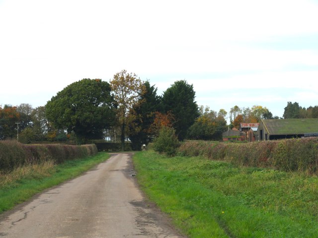
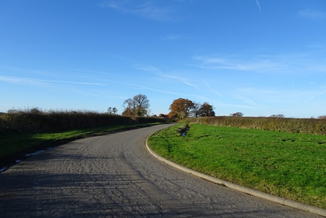
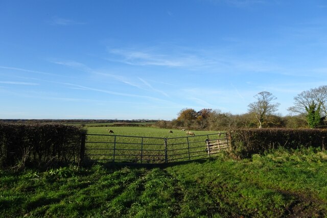
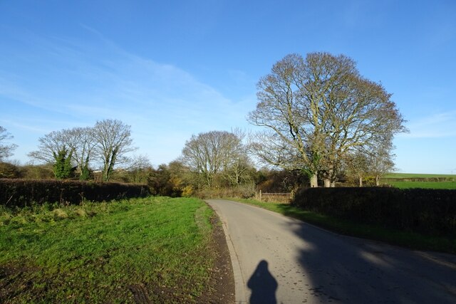
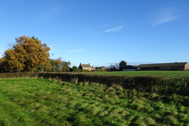
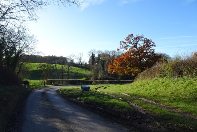
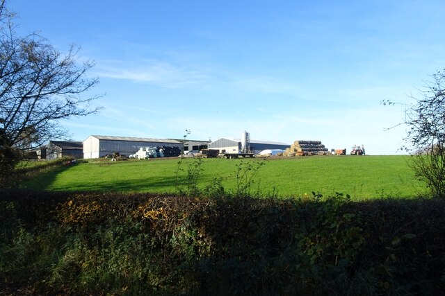
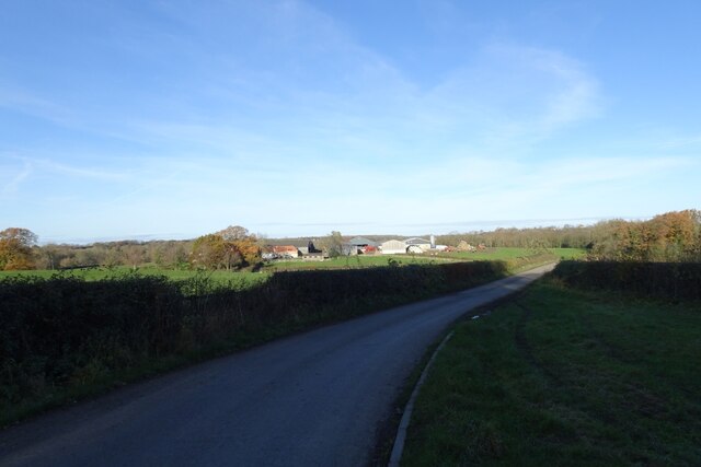
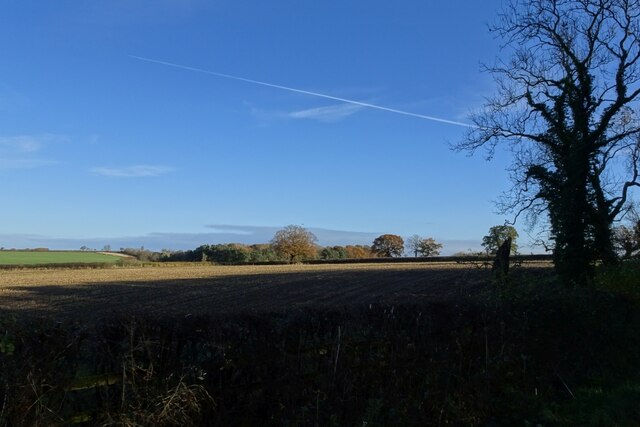
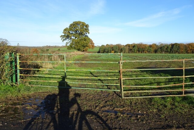
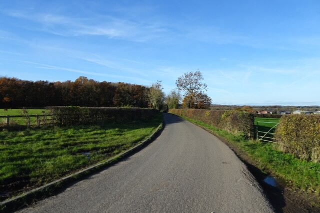
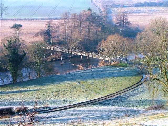
Sockburn is a small village located in County Durham, England. Situated approximately 3 miles west of Darlington, it lies on the southern bank of the River Tees. The area is known for its rural charm and picturesque countryside, making it an ideal destination for nature enthusiasts and those seeking a peaceful retreat.

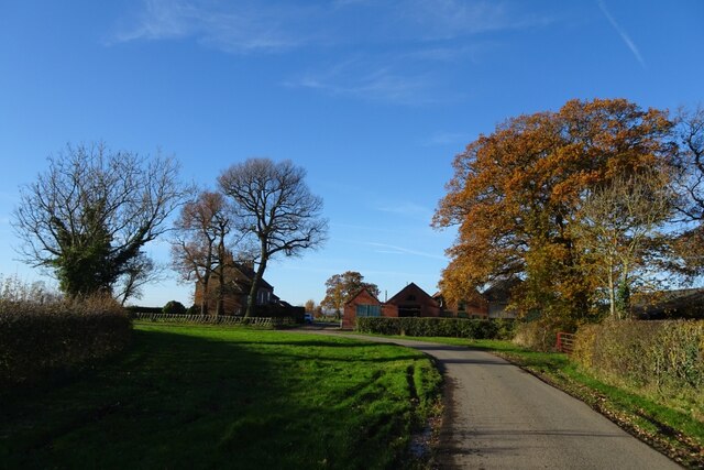
Historically, Sockburn has been inhabited since ancient times, with evidence of Roman and Anglo-Saxon settlements found in the vicinity. The village takes its name from "Sockburne," an Old English term meaning "stronghold by the river." The most prominent landmark in the area is Sockburn Hall, a grade II listed building that dates back to the 17th century. Surrounded by well-maintained gardens and parkland, the hall adds to the village's architectural appeal.

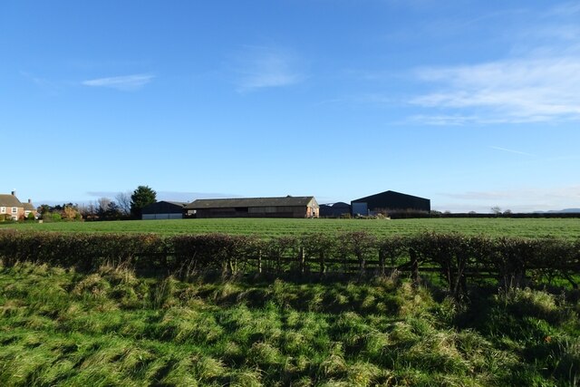
Despite its small size, Sockburn boasts a close-knit community and a strong sense of local pride. The village is home to a handful of residential properties, some of which are converted farmhouses and cottages, contributing to its traditional charm. Additionally, there is a small primary school located in Sockburn, catering to the educational needs of the local children.

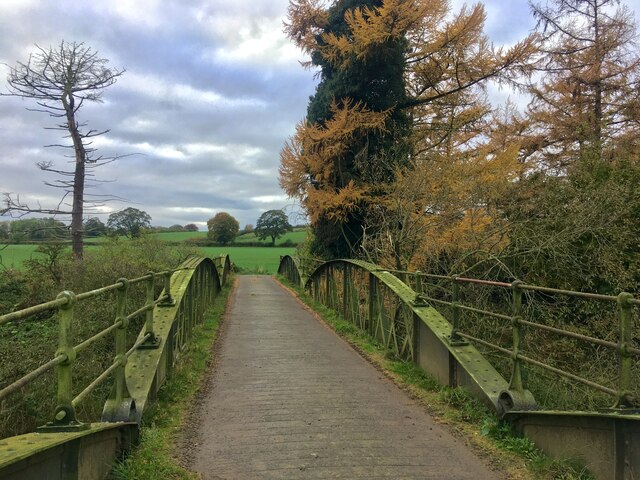
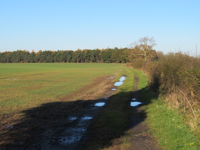
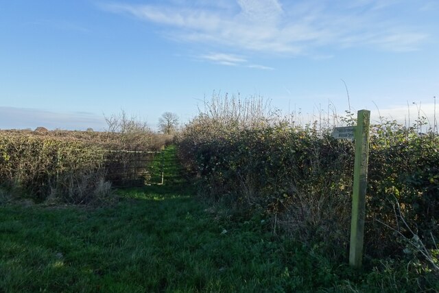
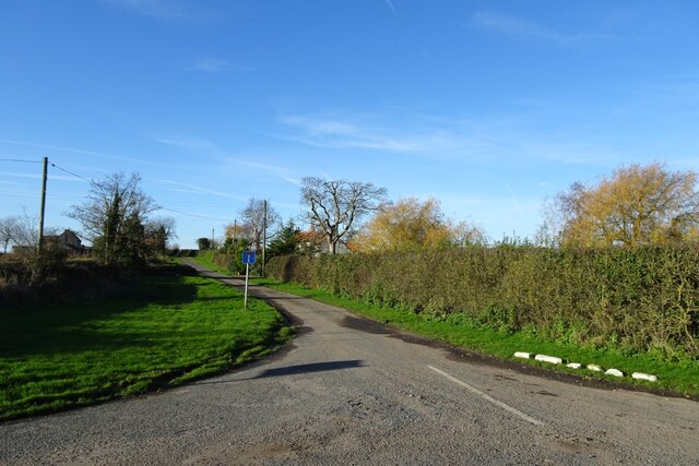
The surrounding countryside offers ample opportunities for outdoor activities, including walking, cycling, and fishing. The nearby River Tees is a popular spot for anglers, attracting visitors from far and wide. Sockburn is also conveniently located near the A1(M) motorway, providing easy access to larger towns and cities in the region.

Overall, Sockburn is a tranquil and scenic village, cherished by its residents and admired by visitors for its natural beauty and rich history.

If you have any feedback on the listing, please let us know in the comments section below.

Sockburn Images

Images are sourced within 2km of 54.459495/-1.4634632 or Grid Reference NZ3407. Thanks to Geograph Open Source API. All images are credited.

Girsby Bridge A wrought and cast iron bridge over the River Tees at Girsby.
Girsby Bridge
A wrought and cast iron bridge over the River Tees at Girsby.
Lane approaching High  Girsby Grange The farmhouse and buildings are partly obscured by the trees at the road corner.
Lane approaching High Girsby Grange
The farmhouse and buildings are partly obscured by the trees at the road corner.
Road junction at Low Entercommon At this point a minor road meets the A167. The sign on the left indicates the boundary between Richmondshire and Hambleton, two of the local authorities which operated within North Yorkshire until 2023 when the whole county came under one administration. One assumes that such signs are now obsolete. Toll Bar Garage is just visible in the distance.
Road junction at Low Entercommon
At this point a minor road meets the A167. The sign on the left indicates the boundary between Richmondshire and Hambleton, two of the local authorities which operated within North Yorkshire until 2023 when the whole county came under one administration. One assumes that such signs are now obsolete. Toll Bar Garage is just visible in the distance.
Fieldside track at High Entercommon Farmer's track accessed via a locked gate. No right of way here.
Fieldside track at High Entercommon
Farmer's track accessed via a locked gate. No right of way here.
Bridleway to Worsall Viewed from the road near Girsby Hall Farm.
Bridleway to Worsall
Viewed from the road near Girsby Hall Farm.
Road near Girsby Hall Farm National Cycle Network route 165 runs along here.
Road near Girsby Hall Farm
National Cycle Network route 165 runs along here.
Bend in the road at Girsby Hall Farm National Cycle Network route 165 runs along here.
Bend in the road at Girsby Hall Farm
National Cycle Network route 165 runs along here.
Road to Girsby Village The no through road leads to the village and Church.
Road to Girsby Village
The no through road leads to the village and Church.
Sheep field near Girsby Green Farm Looking into a sheep field opposite Girsby Green Farm.
Sheep field near Girsby Green Farm
Looking into a sheep field opposite Girsby Green Farm.
Road near Girsby Green Farm National Cycle Network route 165 runs along here.
Road near Girsby Green Farm
National Cycle Network route 165 runs along here.
Girsby Green Farm Looking towards the farm from the road south of the village.
Girsby Green Farm
Looking towards the farm from the road south of the village.
Farm buildings at Girsby Green Farm Looking across a field towards the farm from the road south of Girsby.
Farm buildings at Girsby Green Farm
Looking across a field towards the farm from the road south of Girsby.
Road descending to Staindale Bridge National Cycle Network route 165 runs along here.
Road descending to Staindale Bridge
National Cycle Network route 165 runs along here.
East Sockburn Farm Looking towards the farm from the road near Staindale Bridge.
East Sockburn Farm
Looking towards the farm from the road near Staindale Bridge.
Road towards Staindale Bridge National Cycle Network route 165 runs along here.
Road towards Staindale Bridge
National Cycle Network route 165 runs along here.
Farmland near Staindale Bridge Fields north of the road and south of Staindale Bridge.
Farmland near Staindale Bridge
Fields north of the road and south of Staindale Bridge.
Fields beside a bend in the road Looking across fields in the low winter sun.
Fields beside a bend in the road
Looking across fields in the low winter sun.
Road towards Staindale Bridge National Cycle Network route 165 runs along here.
Road towards Staindale Bridge
National Cycle Network route 165 runs along here.
Show me another place!

Sockburn is located at Grid Ref: NZ3407 (Lat: 54.459495, Lng: -1.4634632)

Unitary Authority: Darlington

Police Authority: Durham

What 3 Words

///majoring.stripped.regard. Near Hurworth, Co. Durham

Related Wikis

Sockburn Hall

Sockburn Hall is a privately owned 19th-century country house at Sockburn, near Darlington, County Durham, England. It is a Grade II* listed building....

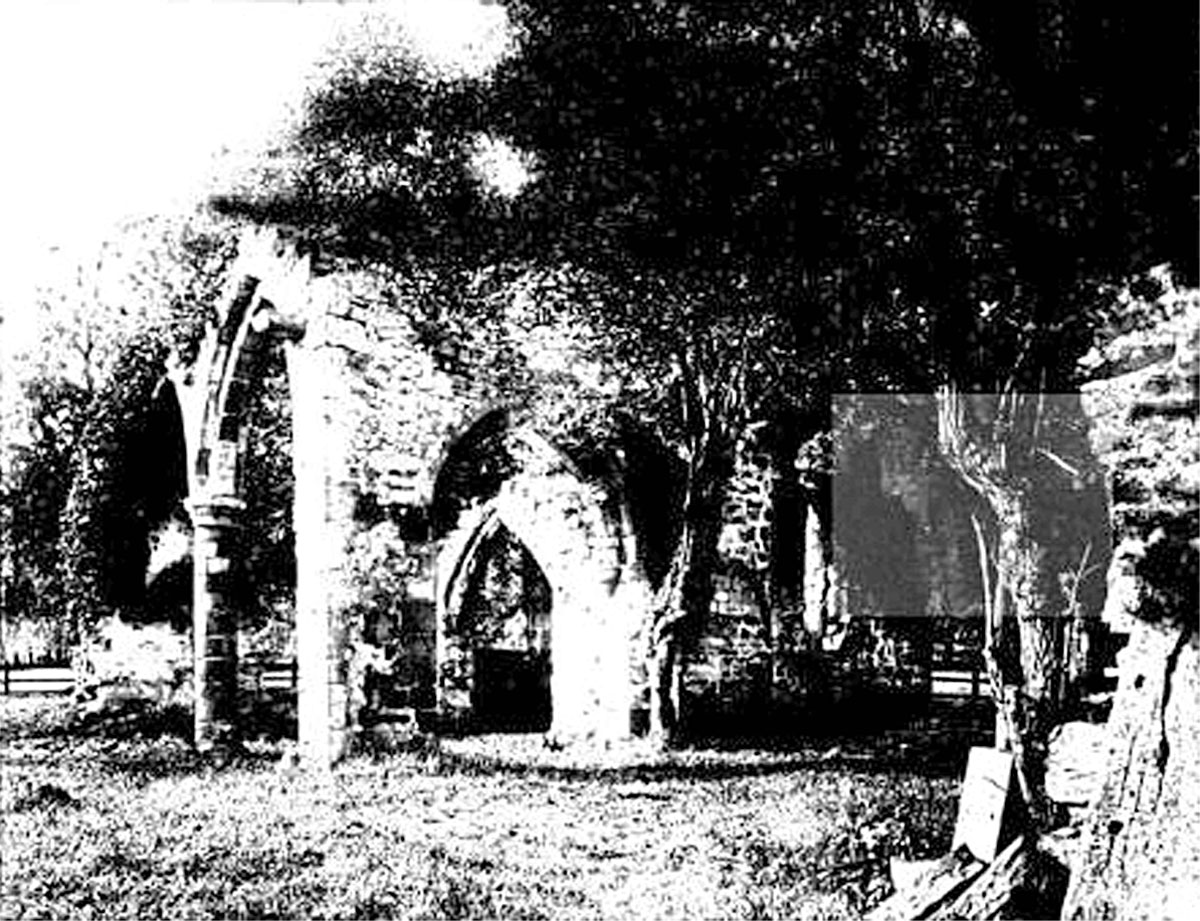
All Saints Church, Sockburn

All Saints Church is a ruined Church of England parish church in Sockburn, County Durham, England. A Grade I listed building, the church has pre- and post...

Sockburn

Sockburn is a village and former civil parish, now in the parish of Neasham, in the Darlington district, in the ceremonial county of Durham, England. It...

Girsby

Girsby is a village and civil parish in the former Hambleton District of North Yorkshire, England. The village lies on high ground on the eastern bank...

Nearby Amenities

Located within 500m of 54.459495,-1.4634632
Power: pole
Lat/Long: 54.4636137/-1.4623511
Sockburn Hall Farm
Place: farm
Source Name: OS OpenData StreetView
Lat/Long: 54.4595493/-1.4657682
The data included in this document is from www.openstreetmap.org. The data is made available under ODbL.

Have you been to Sockburn?

Leave your review of Sockburn below (or comments, questions and feedback).