Mill Wood

Wood, Forest in Durham

England

Mill Wood

Girsby Bridge A wrought and cast iron bridge over the River Tees at Girsby.
Girsby Bridge Credit: John Peacock

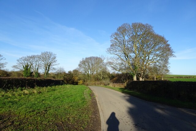
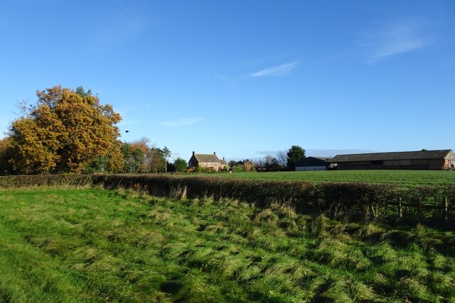
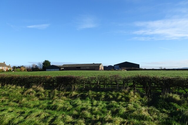
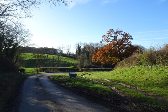
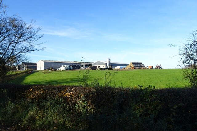
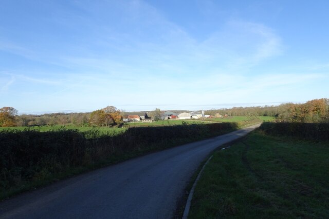
Mill Wood is a charming and picturesque woodland area located in Durham, England. Covering an area of approximately 50 acres, this idyllic forest is nestled between the villages of Woodland and Cockfield. The wood is predominantly composed of native broadleaf trees, including oak, ash, and birch, which create a dense and vibrant canopy overhead.

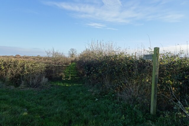
Walking through Mill Wood, visitors are greeted by a peaceful and tranquil atmosphere. The forest floor is carpeted with a rich variety of wildflowers, ferns, and mosses, providing a haven for local wildlife. Small streams meander through the wood, adding to its natural beauty and contributing to the diverse ecosystem.

The woodland is a popular destination for nature enthusiasts, hikers, and birdwatchers. The abundance of bird species, such as woodpeckers, thrushes, and finches, make it a haven for birdwatching enthusiasts. Additionally, the wood is home to a variety of mammals, including deer, foxes, and squirrels, which can often be spotted during a leisurely stroll.

Mill Wood is also steeped in history and offers a glimpse into the area's past. The remnants of a former watermill can still be seen, serving as a reminder of the wood's industrial heritage. Interpretive signs provide information about the wood's history and its significance to the local community.

With its tranquil atmosphere, diverse wildlife, and historical significance, Mill Wood offers a delightful experience for visitors seeking a peaceful retreat in the heart of Durham.

If you have any feedback on the listing, please let us know in the comments section below.
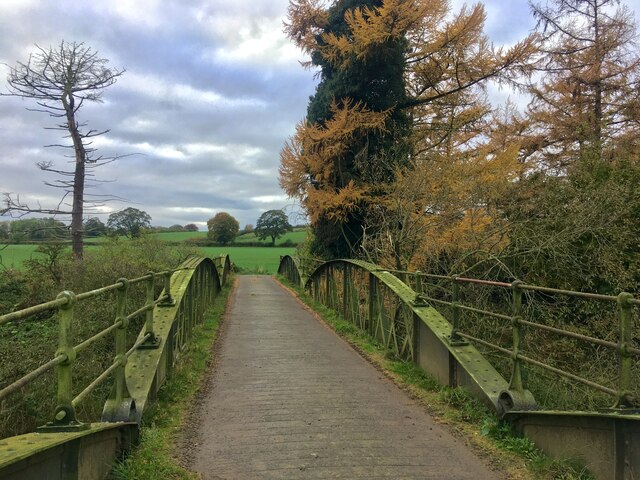
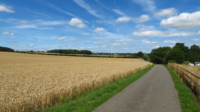
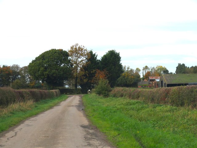
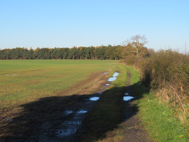
Mill Wood Images

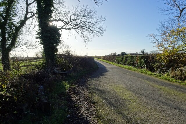
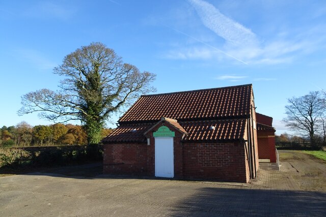
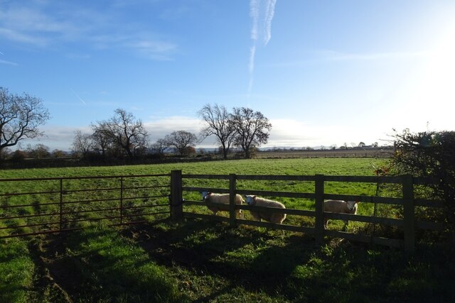
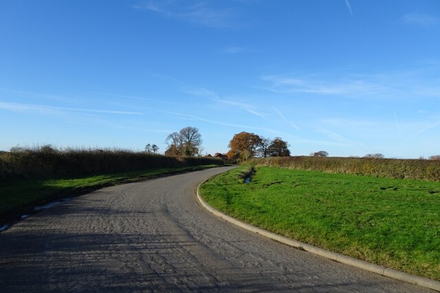
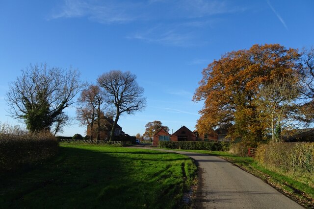
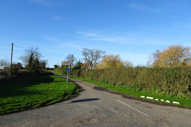
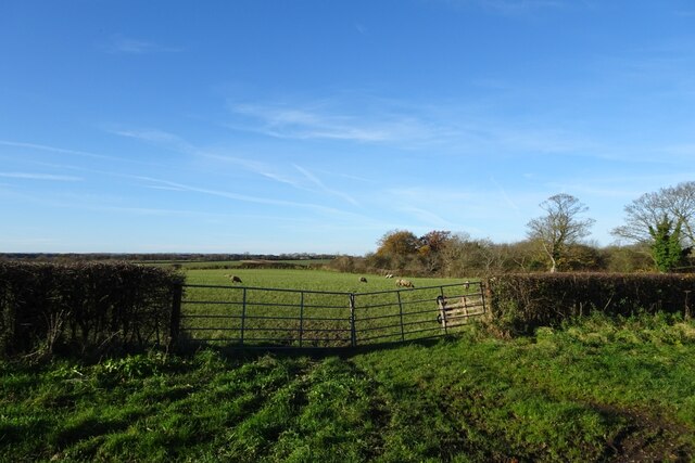
Images are sourced within 2km of 54.463513/-1.4616057 or Grid Reference NZ3407. Thanks to Geograph Open Source API. All images are credited.

Girsby Bridge A wrought and cast iron bridge over the River Tees at Girsby.
Girsby Bridge
A wrought and cast iron bridge over the River Tees at Girsby.
On the Teesdale Way heading N from The Ashes towards Dinsdale
Lane approaching High  Girsby Grange The farmhouse and buildings are partly obscured by the trees at the road corner.
Lane approaching High Girsby Grange
The farmhouse and buildings are partly obscured by the trees at the road corner.
Fieldside track at High Entercommon Farmer's track accessed via a locked gate. No right of way here.
Fieldside track at High Entercommon
Farmer's track accessed via a locked gate. No right of way here.
Road near Moor Plantation Looking along the road heading towards Girsby. National Cycle Network route 165 runs along here.
Road near Moor Plantation
Looking along the road heading towards Girsby. National Cycle Network route 165 runs along here.
Girby and Over Dinsdale Village Hall The village hall stands between the two villages, just to the south of Moor Plantation.
Girby and Over Dinsdale Village Hall
The village hall stands between the two villages, just to the south of Moor Plantation.
Sheep near the village hall Three inquisitive sheep standing near the road next to Girsby and Over Dinsdale village hall.
Sheep near the village hall
Three inquisitive sheep standing near the road next to Girsby and Over Dinsdale village hall.
Bridleway to Worsall Viewed from the road near Girsby Hall Farm.
Bridleway to Worsall
Viewed from the road near Girsby Hall Farm.
Road near Girsby Hall Farm National Cycle Network route 165 runs along here.
Road near Girsby Hall Farm
National Cycle Network route 165 runs along here.
Bend in the road at Girsby Hall Farm National Cycle Network route 165 runs along here.
Bend in the road at Girsby Hall Farm
National Cycle Network route 165 runs along here.
Road to Girsby Village The no through road leads to the village and Church.
Road to Girsby Village
The no through road leads to the village and Church.
Sheep field near Girsby Green Farm Looking into a sheep field opposite Girsby Green Farm.
Sheep field near Girsby Green Farm
Looking into a sheep field opposite Girsby Green Farm.
Road near Girsby Green Farm National Cycle Network route 165 runs along here.
Road near Girsby Green Farm
National Cycle Network route 165 runs along here.
Girsby Green Farm Looking towards the farm from the road south of the village.
Girsby Green Farm
Looking towards the farm from the road south of the village.
Farm buildings at Girsby Green Farm Looking across a field towards the farm from the road south of Girsby.
Farm buildings at Girsby Green Farm
Looking across a field towards the farm from the road south of Girsby.
Road descending to Staindale Bridge National Cycle Network route 165 runs along here.
Road descending to Staindale Bridge
National Cycle Network route 165 runs along here.
East Sockburn Farm Looking towards the farm from the road near Staindale Bridge.
East Sockburn Farm
Looking towards the farm from the road near Staindale Bridge.
Road towards Staindale Bridge National Cycle Network route 165 runs along here.
Road towards Staindale Bridge
National Cycle Network route 165 runs along here.
Show me another place!

Mill Wood is located at Grid Ref: NZ3407 (Lat: 54.463513, Lng: -1.4616057)

Unitary Authority: Darlington

Police Authority: Durham

What 3 Words

///opts.certainly.scraper. Near Hurworth, Co. Durham

Related Wikis

Sockburn

Sockburn is a village and former civil parish, now in the parish of Neasham, in the Darlington district, in the ceremonial county of Durham, England. It...

Sockburn Hall

Sockburn Hall is a privately owned 19th-century country house at Sockburn, near Darlington, County Durham, England. It is a Grade II* listed building....

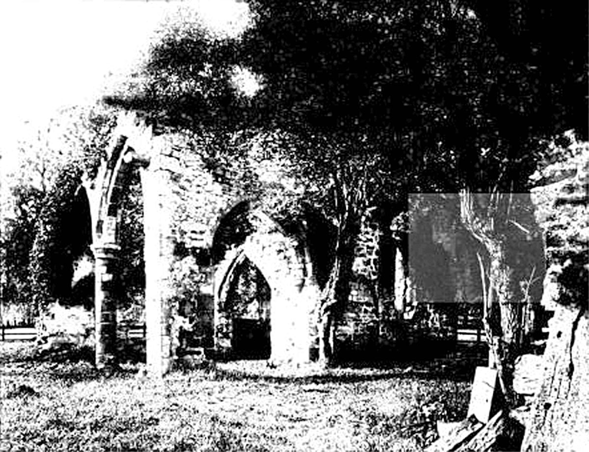
All Saints Church, Sockburn

All Saints Church is a ruined Church of England parish church in Sockburn, County Durham, England. A Grade I listed building, the church has pre- and post...

Girsby

Girsby is a village and civil parish in the former Hambleton District of North Yorkshire, England. The village lies on high ground on the eastern bank...

Nearby Amenities

Located within 500m of 54.463513,-1.4616057
Power: pole
Transformer: distribution
Lat/Long: 54.4677462/-1.4642159
Power: pole
Lat/Long: 54.4677322/-1.4642769
Power: pole
Lat/Long: 54.4668016/-1.4637378
Power: pole
Lat/Long: 54.4658679/-1.4631745
Power: pole
Lat/Long: 54.4647252/-1.4627481
Power: pole
Lat/Long: 54.4636137/-1.4623511
High Sockburn
Place: hamlet
Source Name: OS OpenData StreetView
Lat/Long: 54.4670775/-1.4655939
The data included in this document is from www.openstreetmap.org. The data is made available under ODbL.

Have you been to Mill Wood?

Leave your review of Mill Wood below (or comments, questions and feedback).