Sockety
Settlement in Dorset
England
Sockety
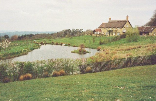
Sockety is a small village located in the county of Dorset, England. Situated in the southwestern part of the country, it is nestled amidst the picturesque landscape of the Dorset Downs. With a population of around 500 residents, Sockety possesses a tranquil and close-knit community atmosphere.
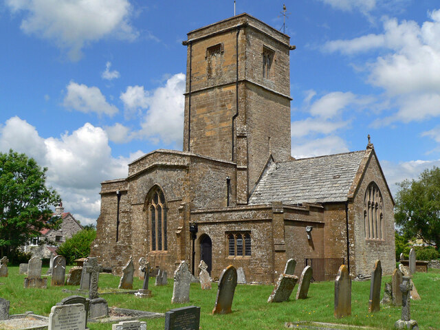
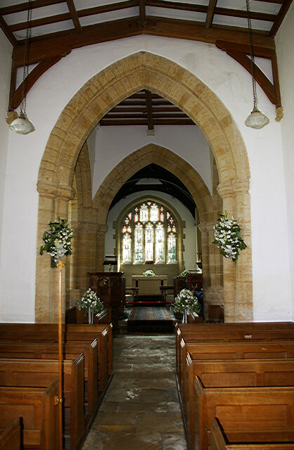
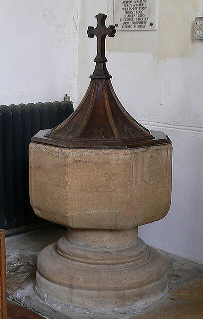
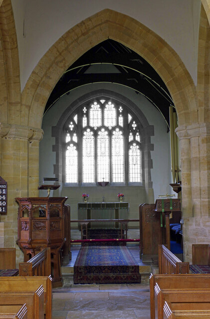
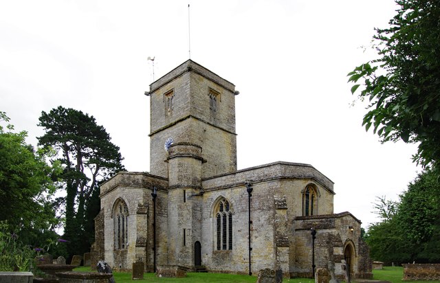
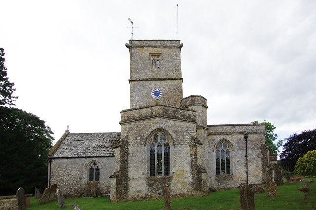
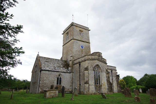
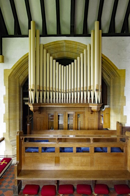
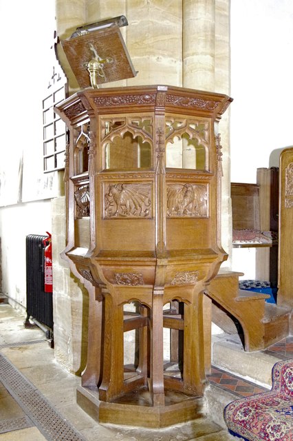
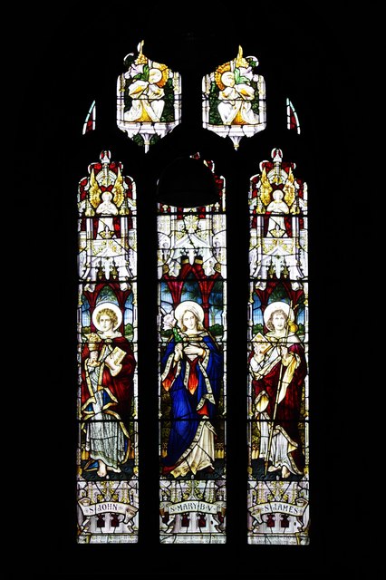
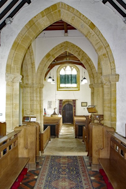
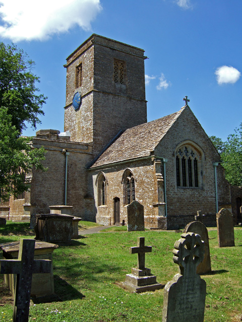
The village dates back to the medieval era, and its rich history is evident through its charming architecture and historic landmarks. The centerpiece of Sockety is St. Mary's Church, a beautiful Grade I listed building that dates back to the 12th century. Its stunning stained glass windows and intricate stonework attract visitors from far and wide.
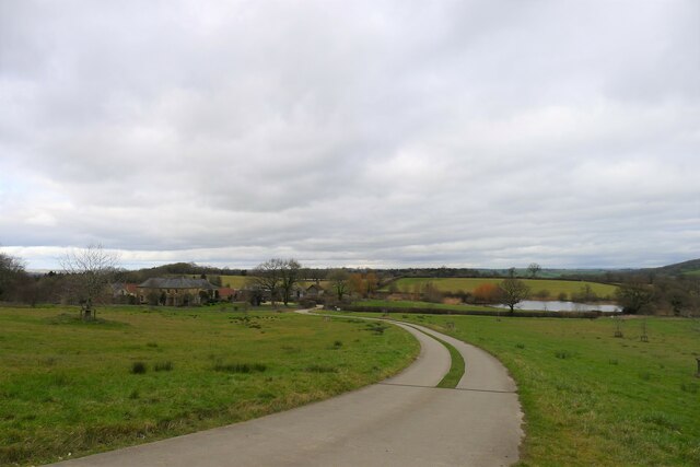
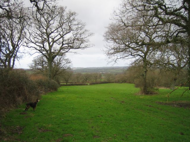
The surrounding countryside provides ample opportunities for outdoor activities, such as hiking, cycling, and horse riding. The nearby Ridgeway Path offers breathtaking views of the rolling hills and is a popular destination for nature enthusiasts. Sockety also boasts a number of well-preserved footpaths and bridleways, allowing visitors to explore the surrounding countryside at their leisure.
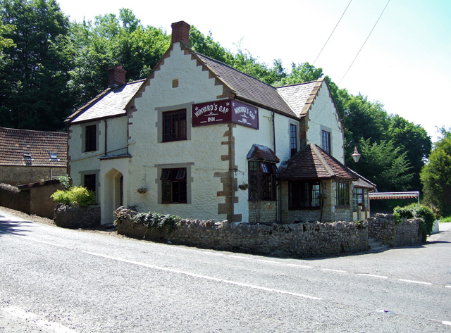
Despite its small size, Sockety has a strong sense of community spirit. The village hosts numerous events throughout the year, including an annual summer fair and a Christmas market. The local pub, The Sockety Arms, is a popular gathering spot for residents and visitors alike, offering a warm welcome and traditional British pub fare.
Overall, Sockety, Dorset is a quaint and idyllic village that appeals to those seeking a peaceful countryside retreat. With its rich history, natural beauty, and friendly community, it is a hidden gem within the heart of rural England.
If you have any feedback on the listing, please let us know in the comments section below.
Sockety Images
Images are sourced within 2km of 50.857131/-2.7384846 or Grid Reference ST4806. Thanks to Geograph Open Source API. All images are credited.
Sockety is located at Grid Ref: ST4806 (Lat: 50.857131, Lng: -2.7384846)
Unitary Authority: Dorset
Police Authority: Dorset
What 3 Words
///batches.reinvest.postings. Near Crewkerne, Somerset
Nearby Locations
Related Wikis

South Perrott
South Perrott is a village and civil parish in northwest Dorset, England, 2 miles (3.2 km) southeast of Crewkerne. In 2012 the estimated population of...

Chedington
Chedington is a small village and civil parish in west Dorset, England, situated near the A356 road 4 miles (6.4 km) southeast of Crewkerne in Somerset...

Mosterton
Mosterton is a village and civil parish in Dorset, England, situated approximately 3 miles (4.8 km) north of Beaminster. In the 2011 census the parish...
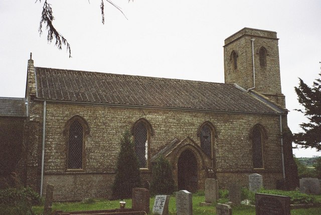
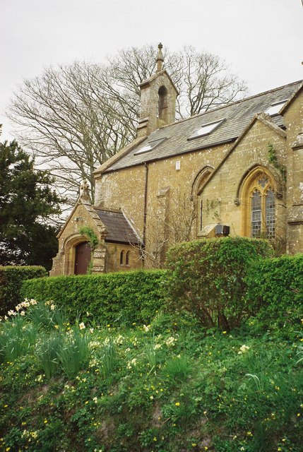
St Mary's Church, Mosterton
St Mary's Church is a Church of England parish church in Mosterton, Dorset, England. The church was designed by Edmund Pearce and built in 1832–33 to replace...

Weston Hill
Weston Hill is a hill, 250 metres (820 ft) high, on the A 356, 1 kilometre west of Corscombe in the county of Dorset in southern England. It is located...
North Perrott
North Perrott is a village and civil parish in south Somerset, England, near the border with Dorset. == History == The name Perrott comes from the River...
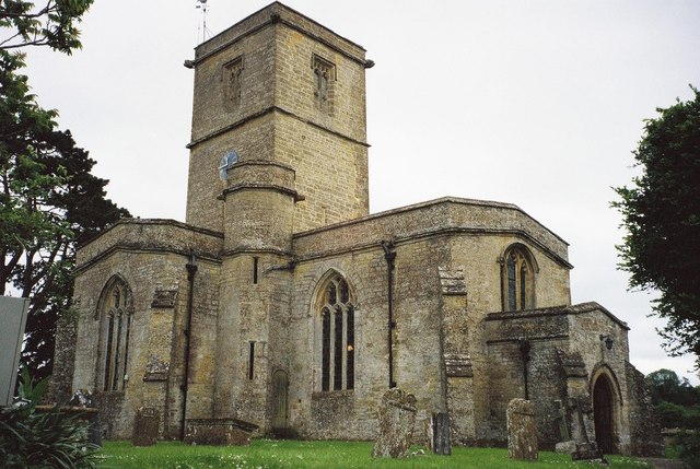
Church of St Martin, North Perrott
The Church of St Martin in North Perrott, Somerset, England, dates from the 12th century and has been designated as a Grade I listed building.The current...
Whitevine Meadows
Whitevine Meadows (grid reference ST505085) is a 13.0 hectare (32.0 acre) biological Site of Special Scientific Interest east of North and South Perrott...
Nearby Amenities
Located within 500m of 50.857131,-2.7384846Have you been to Sockety?
Leave your review of Sockety below (or comments, questions and feedback).