Snettisham
Settlement in Norfolk King's Lynn and West Norfolk
England
Snettisham
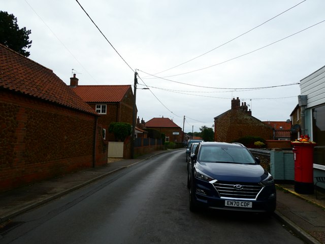
Snettisham is a village located on the eastern coast of England, in the county of Norfolk. Situated approximately 12 miles north of the town of King's Lynn, Snettisham is a picturesque village known for its natural beauty and historical significance.
The village is nestled on the edge of the Norfolk Coast Area of Outstanding Natural Beauty, offering stunning views of the surrounding countryside, marshes, and the North Sea. Snettisham Beach is a popular attraction, renowned for its expansive sandy shores and tranquil atmosphere. The RSPB Snettisham Nature Reserve is also a notable feature, attracting birdwatchers from all over the country to witness the incredible spectacle of thousands of wading birds gathering during high tide.
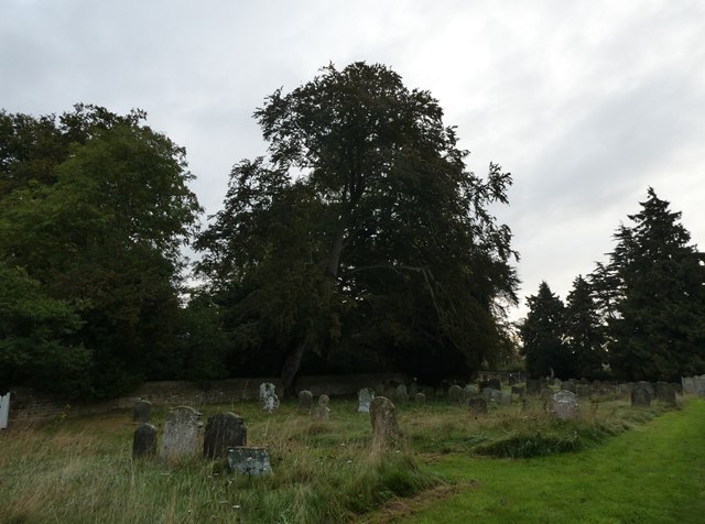
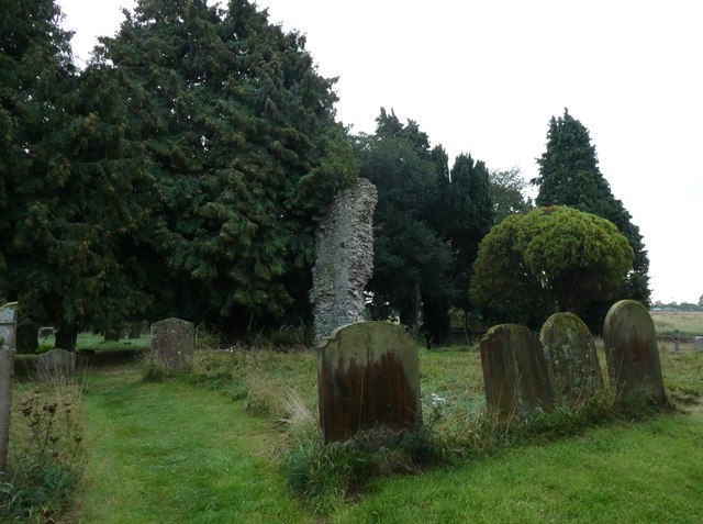
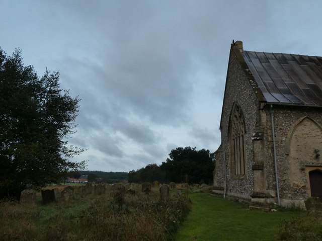
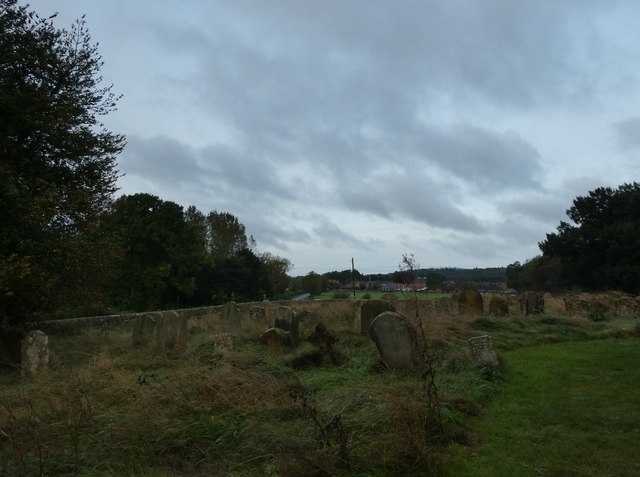
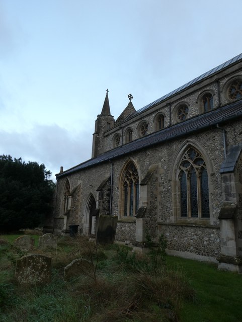
Snettisham has a rich history dating back over 2,000 years, with evidence of Roman occupation and a significant Anglo-Saxon presence. The village is home to the Snettisham Hoard, one of the largest and most important Iron Age treasure troves ever discovered in Britain. The hoard, consisting of gold torcs, coins, and other artifacts, is on display at the British Museum in London.
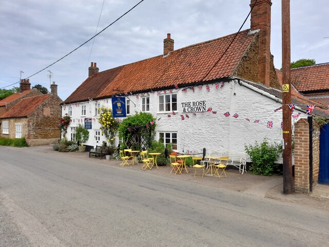
In terms of amenities, Snettisham offers a range of facilities including a primary school, shops, pubs, and various community organizations. The village hosts regular events and festivals, attracting both locals and visitors alike.
Overall, Snettisham is a delightful village that combines natural beauty, historical importance, and a strong sense of community, making it an appealing destination for nature lovers, history enthusiasts, and those seeking a peaceful retreat on the Norfolk coast.
If you have any feedback on the listing, please let us know in the comments section below.
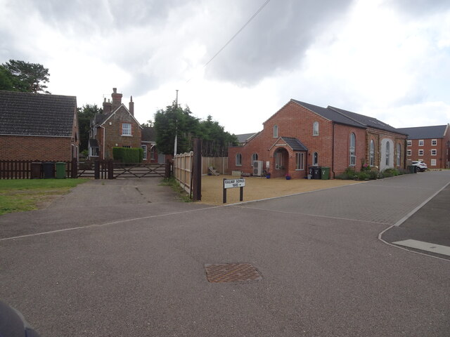
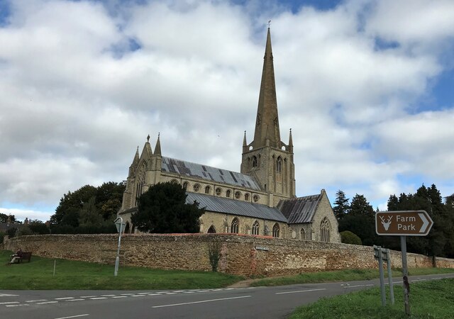
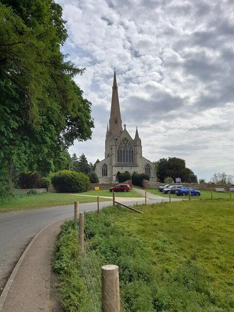
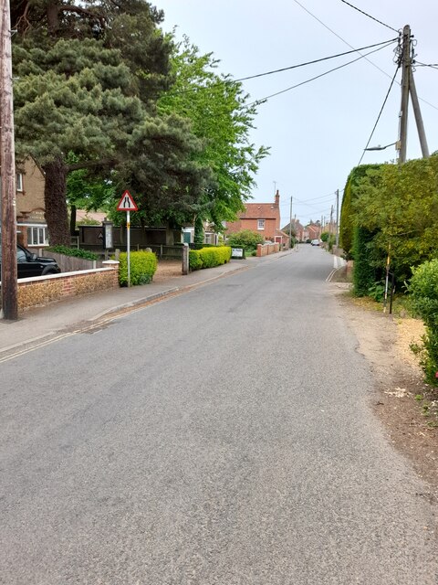
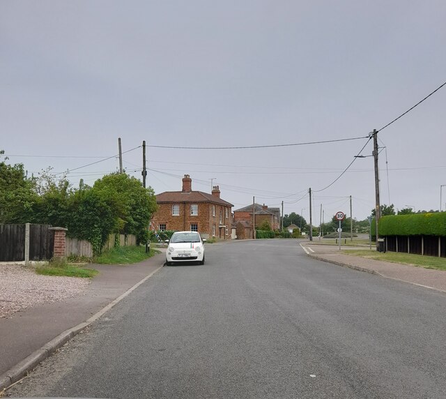
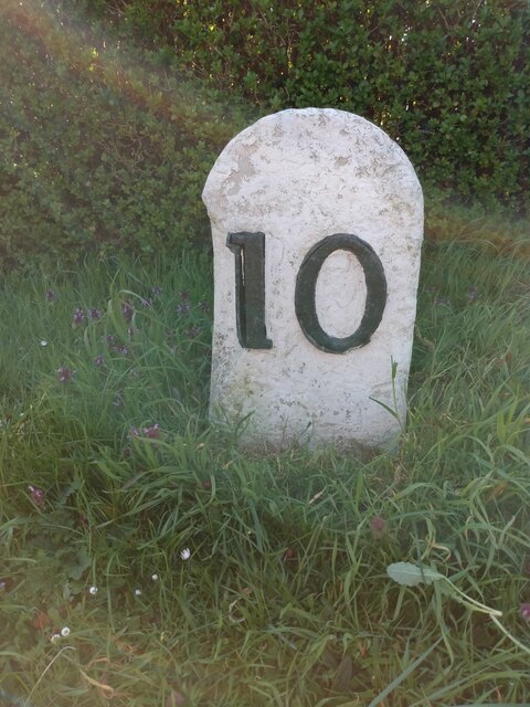
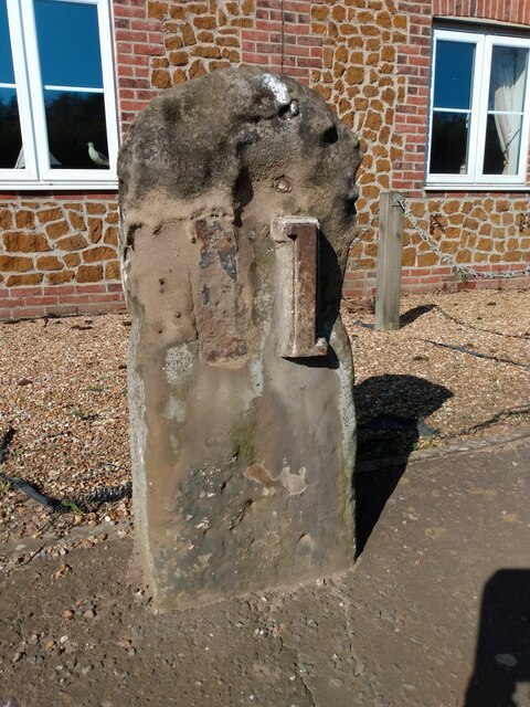
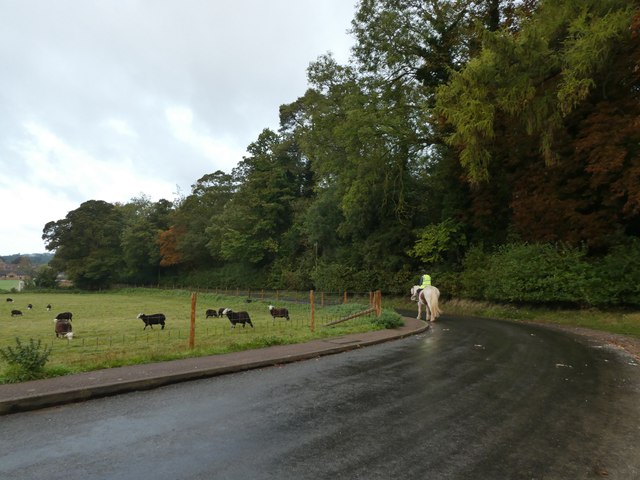
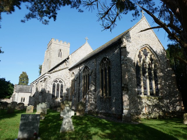
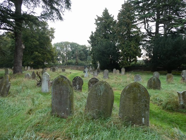
Snettisham Images
Images are sourced within 2km of 52.879597/0.502317 or Grid Reference TF6834. Thanks to Geograph Open Source API. All images are credited.
Snettisham is located at Grid Ref: TF6834 (Lat: 52.879597, Lng: 0.502317)
Administrative County: Norfolk
District: King's Lynn and West Norfolk
Police Authority: Norfolk
What 3 Words
///violinist.repelled.pianists. Near Snettisham, Norfolk
Nearby Locations
Related Wikis
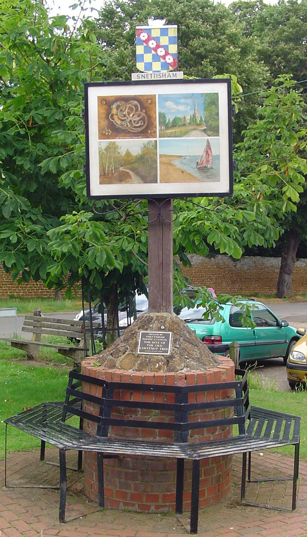
Snettisham
Snettisham is a village and civil parish in the English county of Norfolk. It is located near the west coast of Norfolk, some 5 miles (8.0 km) south of...
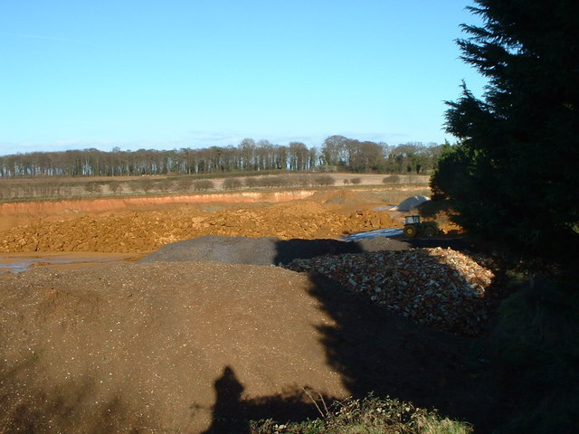
Snettisham Carstone Quarry
Snettisham Carstone Quarry is an 11-hectare (27-acre) biological Site of Special Scientific Interest north of King's Lynn in Norfolk. It is in the Norfolk...

Snettisham Hoard
The Snettisham Hoard or Snettisham Treasure is a series of discoveries of Iron Age precious metal, found in the Snettisham area of the English county of...
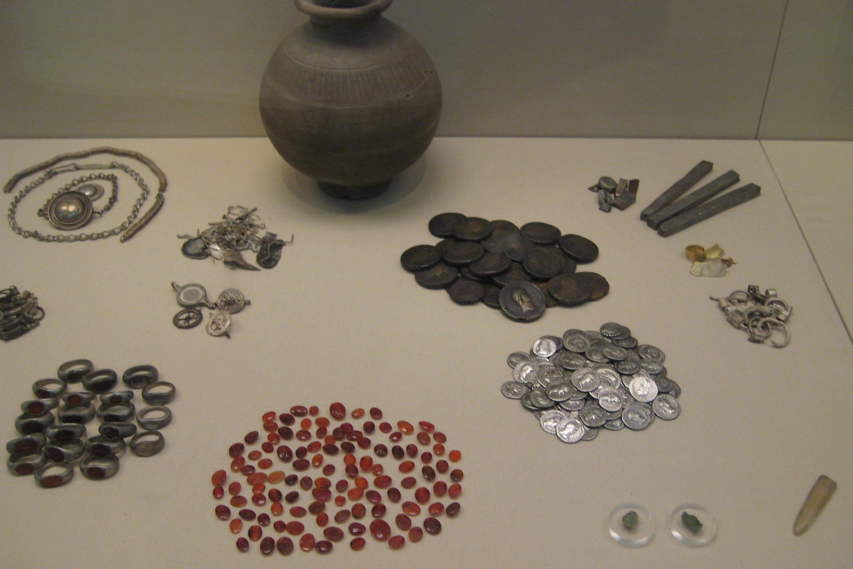
Snettisham Jeweller's Hoard
The Snettisham Jeweller's Hoard is a collection of Romano-British jewellery and raw materials, found during the construction of a house in the Norfolk...

Snettisham railway station
Snettisham was a railway station on the King's Lynn to Hunstanton line which served the village of Snettisham, a few miles north of King's Lynn in North...

Wild Ken Hill
Wild Ken Hill is a rewilding and regenerative agriculture project located in Norfolk, England, at the edge of The Wash. == History == The name Ken Hill...

Ingoldisthorpe
Ingoldisthorpe is a village and civil parish in the north-west of the English county of Norfolk. It is located approximately 9 miles (14 km) north-east...

Heacham Brick Pit
Heacham Brick Pit is a 0.8-hectare (2.0-acre) geological Site of Special Scientific Interest in Heacham, north of King's Lynn in Norfolk. It is a Geological...
Nearby Amenities
Located within 500m of 52.879597,0.502317Have you been to Snettisham?
Leave your review of Snettisham below (or comments, questions and feedback).