Norton Hill
Settlement in Norfolk King's Lynn and West Norfolk
England
Norton Hill
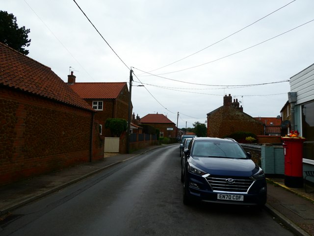
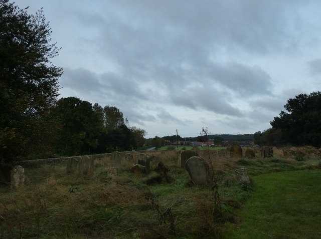
Norton Hill is a small village located in the county of Norfolk, England. Situated in the picturesque countryside, it is part of the South Norfolk district. The village is surrounded by rolling hills, green pastures, and charming farmland, providing a tranquil and idyllic setting for its residents.
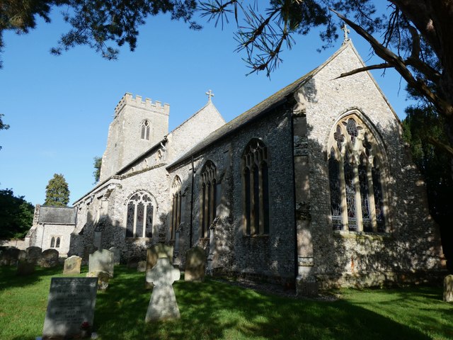
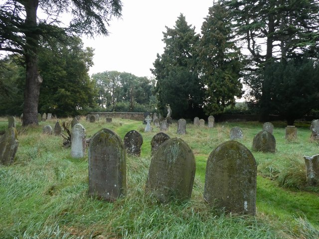
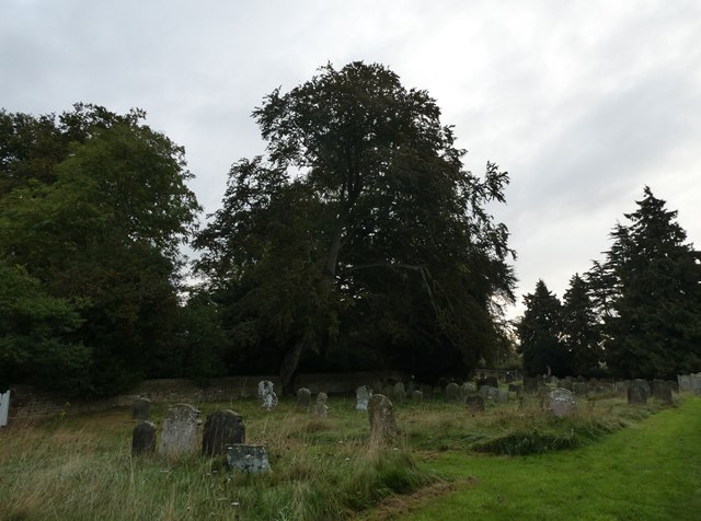
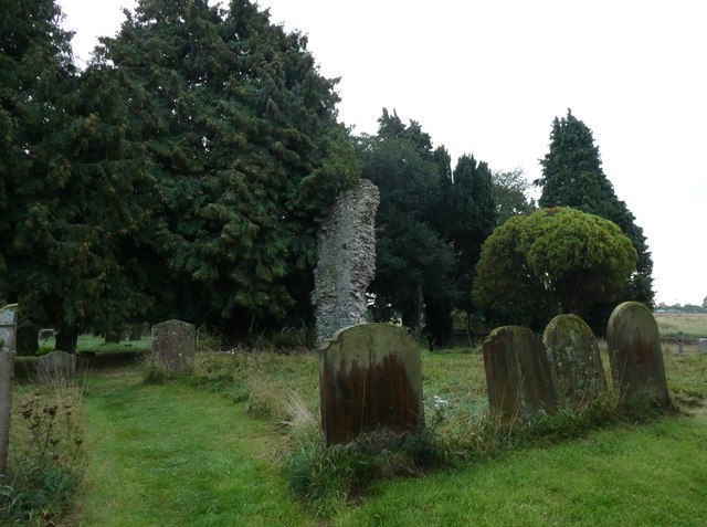
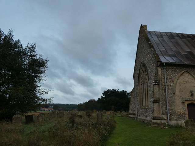
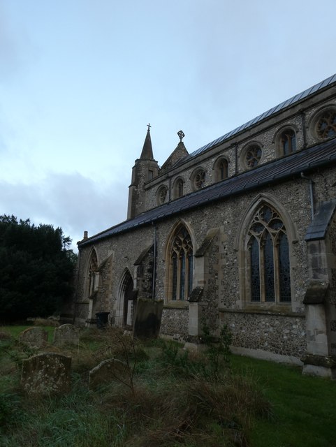
Norton Hill has a rich history, with evidence of settlements dating back to the Roman era. The village retains its traditional character, with a cluster of quaint cottages and a beautiful church at its center. St. Mary's Church, built in the 14th century, is a notable architectural landmark in the area.
Despite its small size, Norton Hill has a close-knit community that takes pride in its heritage. Local events and activities are organized throughout the year, fostering a sense of togetherness among the residents. The village also has a primary school, providing education to the children in the area.
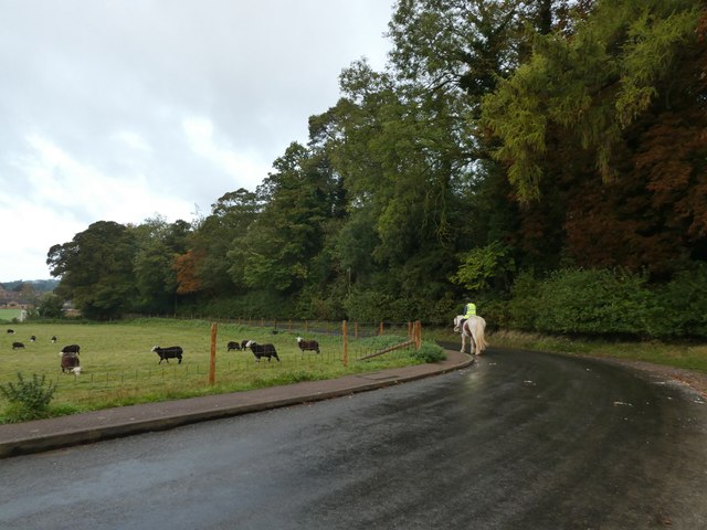
The surrounding countryside offers ample opportunities for outdoor enthusiasts. There are numerous walking trails and cycling routes that allow residents and visitors to explore the stunning natural beauty of the Norfolk countryside. The village is also conveniently located near the Norfolk Broads, a network of rivers and lakes, offering boating and fishing opportunities.
Although Norton Hill may be considered a quiet and peaceful village, it is well-connected to larger towns and cities in the region. The nearby market town of Diss provides essential amenities and services, while Norwich, the county's capital, is easily accessible by road and offers a wider range of facilities and cultural attractions.
Overall, Norton Hill offers its residents a serene rural lifestyle, with a strong sense of community and a wealth of natural beauty waiting to be explored.
If you have any feedback on the listing, please let us know in the comments section below.
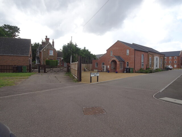
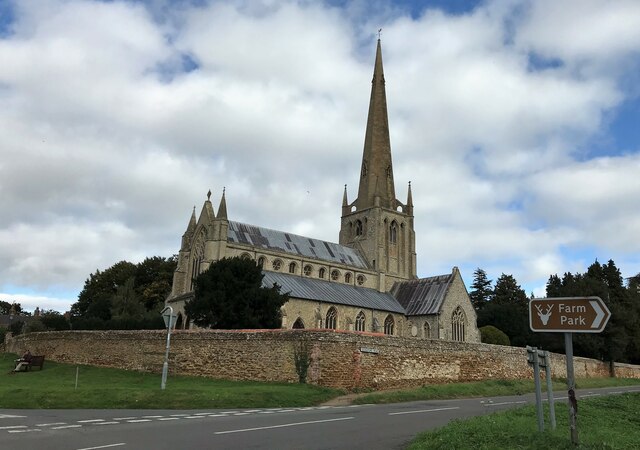
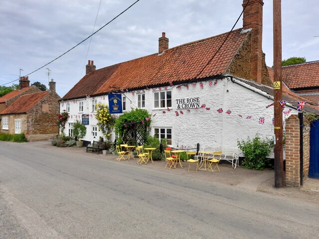
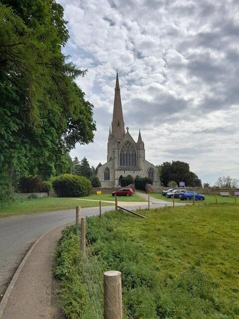
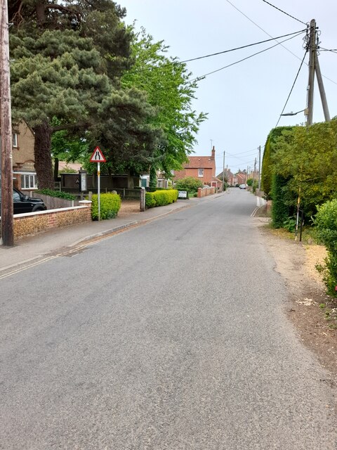
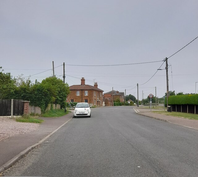
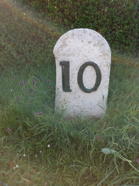
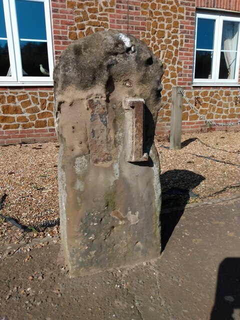
Norton Hill Images
Images are sourced within 2km of 52.880038/0.50182392 or Grid Reference TF6834. Thanks to Geograph Open Source API. All images are credited.
Norton Hill is located at Grid Ref: TF6834 (Lat: 52.880038, Lng: 0.50182392)
Administrative County: Norfolk
District: King's Lynn and West Norfolk
Police Authority: Norfolk
What 3 Words
///wide.alerting.noise. Near Snettisham, Norfolk
Nearby Locations
Related Wikis
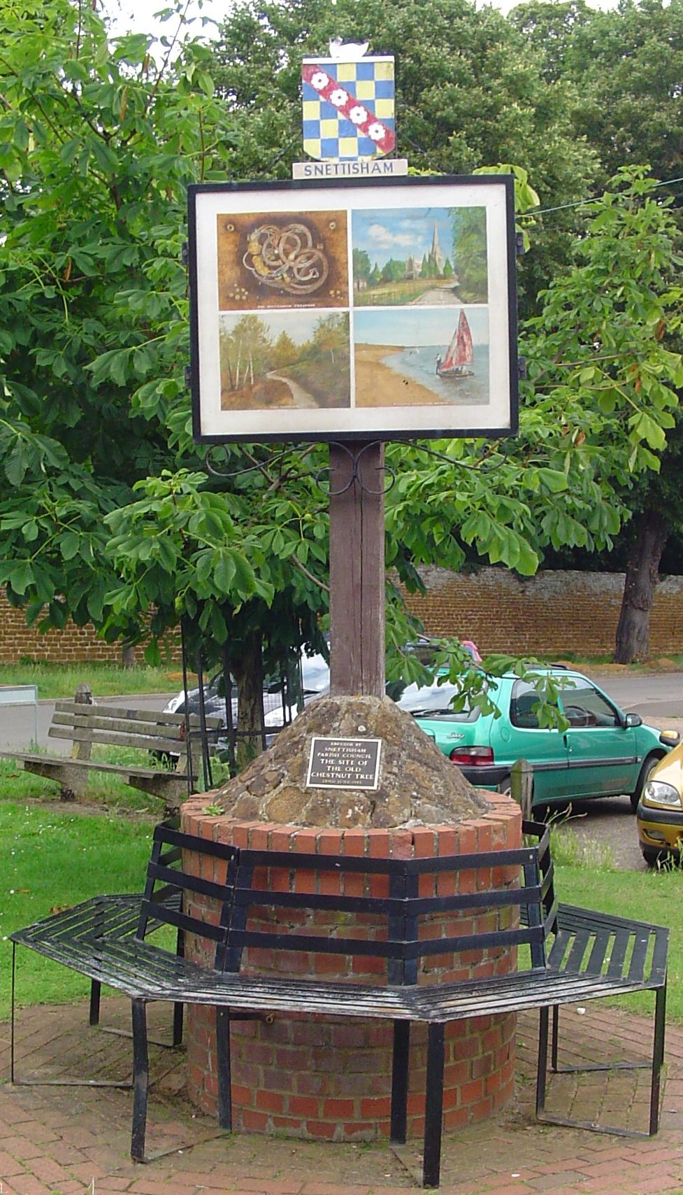
Snettisham
Snettisham is a village and civil parish in the English county of Norfolk. It is located near the west coast of Norfolk, some 5 miles (8.0 km) south of...
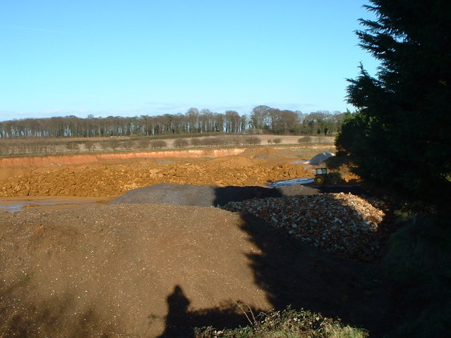
Snettisham Carstone Quarry
Snettisham Carstone Quarry is an 11-hectare (27-acre) biological Site of Special Scientific Interest north of King's Lynn in Norfolk. It is in the Norfolk...

Snettisham Hoard
The Snettisham Hoard or Snettisham Treasure is a series of discoveries of Iron Age precious metal, found in the Snettisham area of the English county of...
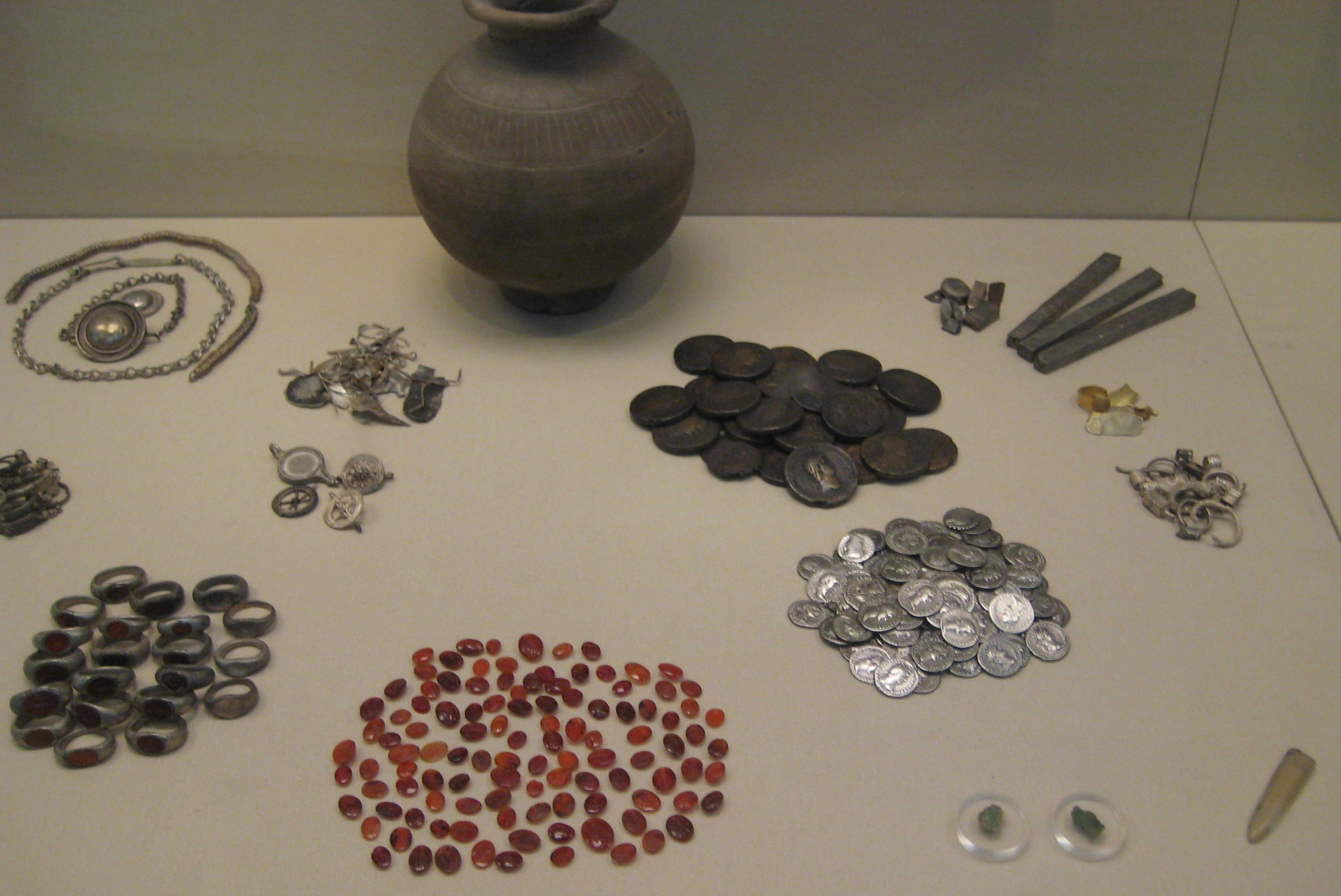
Snettisham Jeweller's Hoard
The Snettisham Jeweller's Hoard is a collection of Romano-British jewellery and raw materials, found during the construction of a house in the Norfolk...

Snettisham railway station
Snettisham was a railway station on the King's Lynn to Hunstanton line which served the village of Snettisham, a few miles north of King's Lynn in North...

Wild Ken Hill
Wild Ken Hill is a rewilding and regenerative agriculture project located in Norfolk, England, at the edge of The Wash. == History == The name Ken Hill...

Ingoldisthorpe
Ingoldisthorpe is a village and civil parish in the north-west of the English county of Norfolk. It is located approximately 9 miles (14 km) north-east...

Heacham Brick Pit
Heacham Brick Pit is a 0.8-hectare (2.0-acre) geological Site of Special Scientific Interest in Heacham, north of King's Lynn in Norfolk. It is a Geological...
Nearby Amenities
Located within 500m of 52.880038,0.50182392Have you been to Norton Hill?
Leave your review of Norton Hill below (or comments, questions and feedback).