Barker's Pond
Lake, Pool, Pond, Freshwater Marsh in Norfolk King's Lynn and West Norfolk
England
Barker's Pond
Barker's Pond is a freshwater pond located in Norfolk, England. It is a well-known natural attraction in the region, offering a serene and picturesque setting for visitors to enjoy. With its diverse ecosystem, the pond attracts a variety of wildlife, making it a popular spot for nature enthusiasts.
Covering an area of approximately 5 acres, Barker's Pond is surrounded by lush vegetation, including reeds, grasses, and trees, creating a vibrant and peaceful environment. The pond is fed by natural springs and rainfall, ensuring a constant flow of freshwater throughout the year.
The water in Barker's Pond is crystal clear, allowing visitors to observe the diverse aquatic life that inhabits the pond. Fish such as carp, perch, and roach can be spotted swimming in the shallows, while waterfowl like ducks and swans can be seen gliding gracefully across the surface.
The pond also serves as a habitat for a variety of birds, including herons, kingfishers, and warblers, attracting birdwatchers from near and far. The surrounding marshland provides a nesting ground for many bird species, making it an important area for conservation efforts.
Barker's Pond offers several recreational activities for visitors to enjoy. Fishing is a popular pastime, with anglers trying their luck to catch the abundant fish. Additionally, the tranquil surroundings make it an ideal spot for picnics, walking, and simply unwinding in nature.
Overall, Barker's Pond is a natural gem in Norfolk, offering a diverse ecosystem, beautiful scenery, and opportunities for both relaxation and wildlife observation.
If you have any feedback on the listing, please let us know in the comments section below.
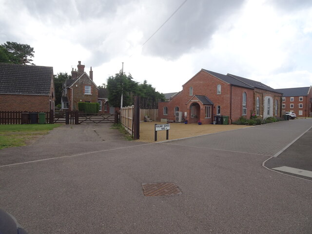
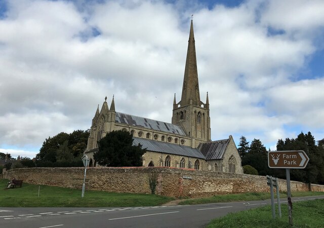
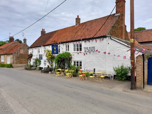
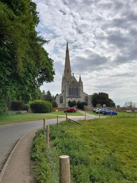
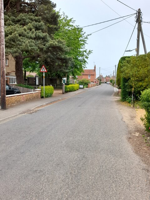
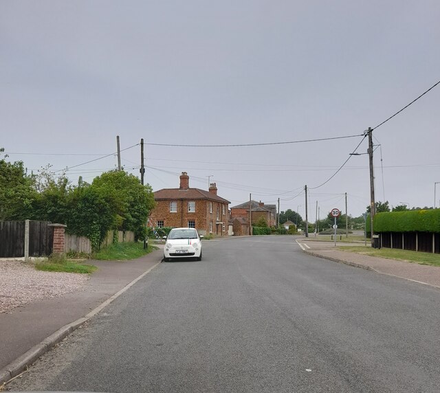
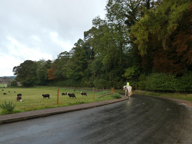
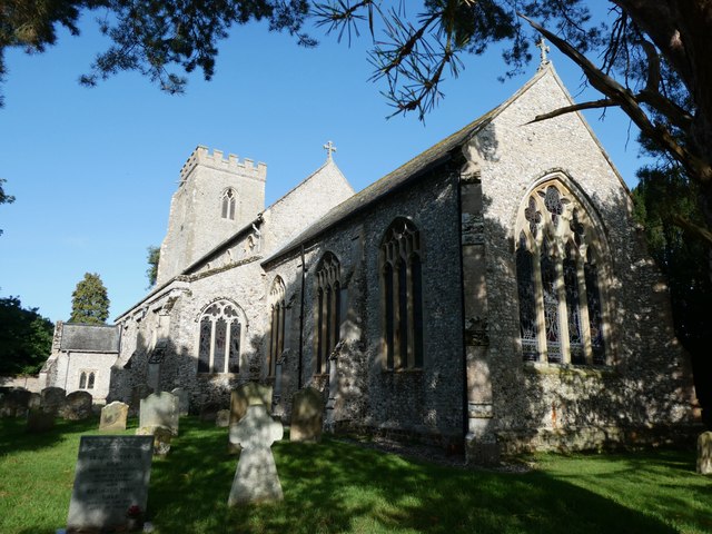
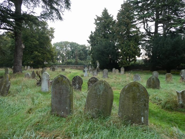
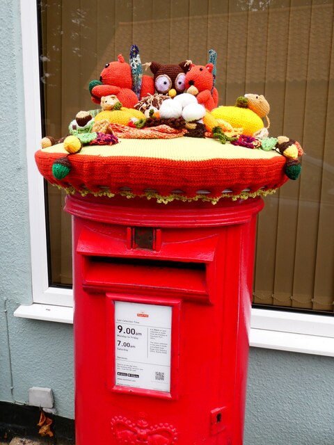
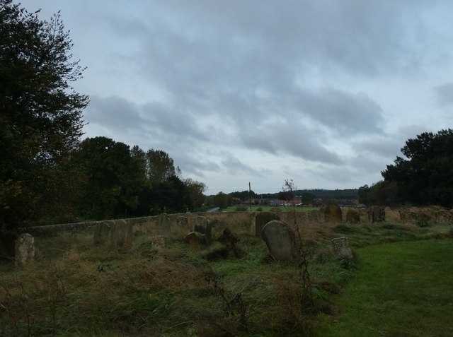
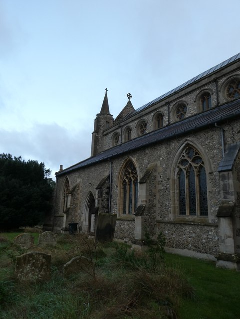
Barker's Pond Images
Images are sourced within 2km of 52.878267/0.50863298 or Grid Reference TF6834. Thanks to Geograph Open Source API. All images are credited.
Barker's Pond is located at Grid Ref: TF6834 (Lat: 52.878267, Lng: 0.50863298)
Administrative County: Norfolk
District: King's Lynn and West Norfolk
Police Authority: Norfolk
What 3 Words
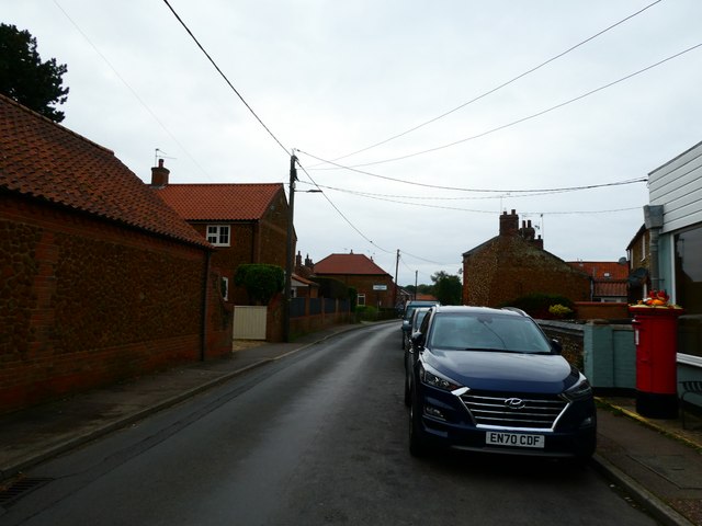
///lakeside.crystal.websites. Near Snettisham, Norfolk
Nearby Locations
Related Wikis

Snettisham Hoard
The Snettisham Hoard or Snettisham Treasure is a series of discoveries of Iron Age precious metal, found in the Snettisham area of the English county of...
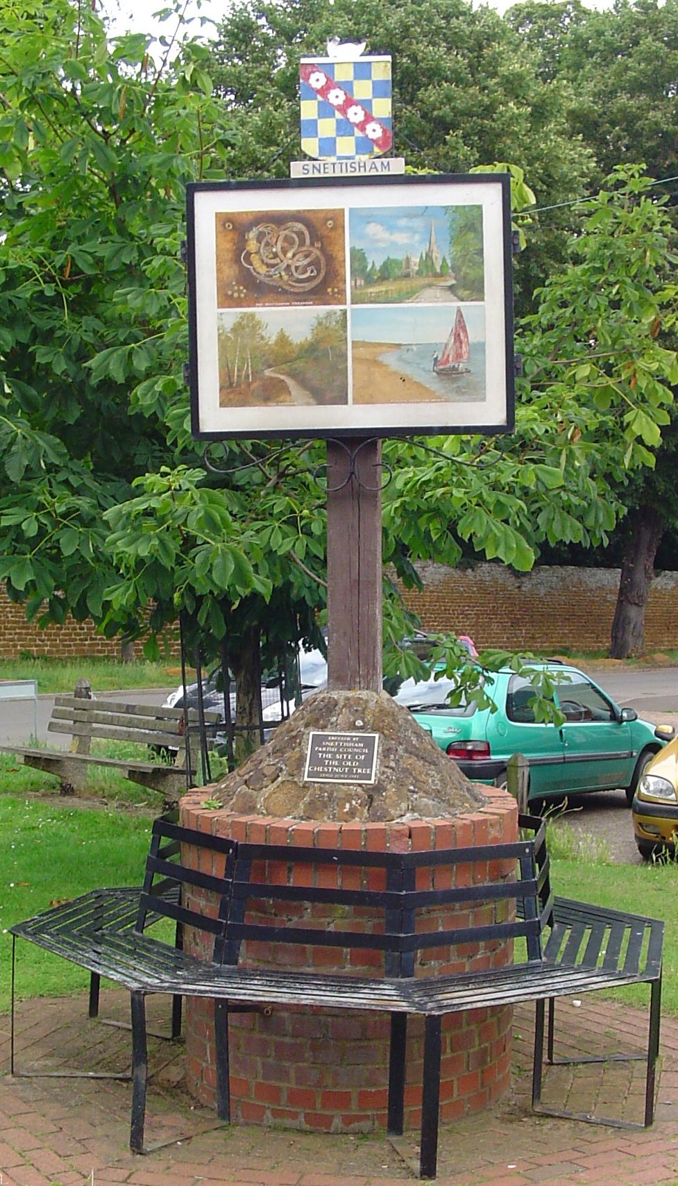
Snettisham
Snettisham is a village and civil parish in the English county of Norfolk. It is located near the west coast of Norfolk, some 5 miles (8.0 km) south of...
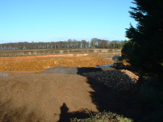
Snettisham Carstone Quarry
Snettisham Carstone Quarry is an 11-hectare (27-acre) biological Site of Special Scientific Interest north of King's Lynn in Norfolk. It is in the Norfolk...
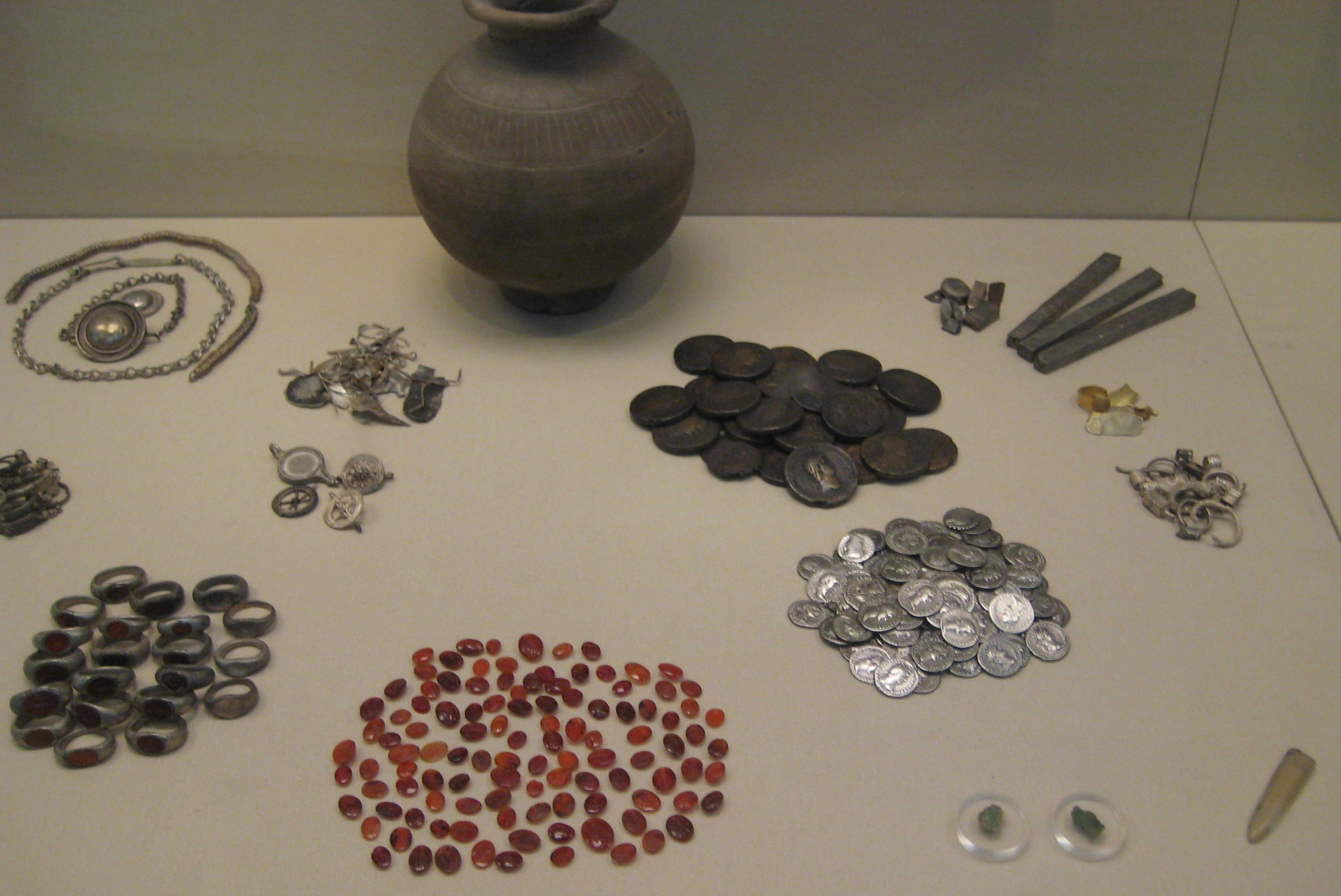
Snettisham Jeweller's Hoard
The Snettisham Jeweller's Hoard is a collection of Romano-British jewellery and raw materials, found during the construction of a house in the Norfolk...

Snettisham railway station
Snettisham was a railway station on the King's Lynn to Hunstanton line which served the village of Snettisham, a few miles north of King's Lynn in North...

Ingoldisthorpe
Ingoldisthorpe is a village and civil parish in the north-west of the English county of Norfolk. It is located approximately 9 miles (14 km) north-east...

Wild Ken Hill
Wild Ken Hill is a rewilding and regenerative agriculture project located in Norfolk, England, at the edge of The Wash. == History == The name Ken Hill...

Heacham Brick Pit
Heacham Brick Pit is a 0.8-hectare (2.0-acre) geological Site of Special Scientific Interest in Heacham, north of King's Lynn in Norfolk. It is a Geological...
Nearby Amenities
Located within 500m of 52.878267,0.50863298Have you been to Barker's Pond?
Leave your review of Barker's Pond below (or comments, questions and feedback).