Half Moon Plantation
Wood, Forest in Norfolk King's Lynn and West Norfolk
England
Half Moon Plantation

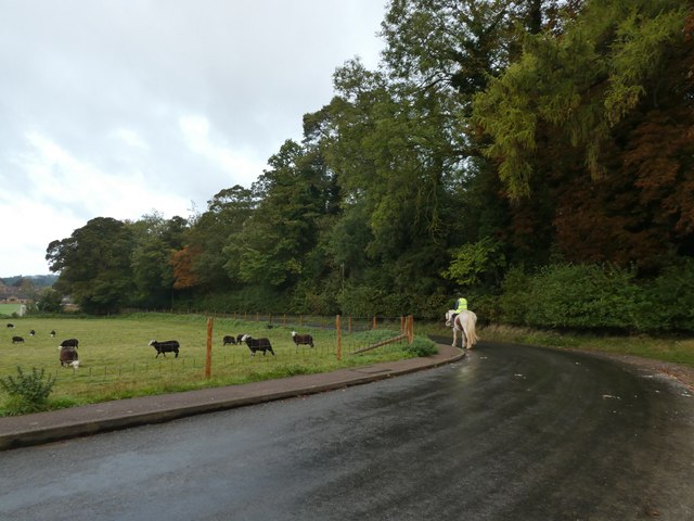
Located in Norfolk, England, Half Moon Plantation is a serene and picturesque woodland area known for its stunning natural beauty. Covering an extensive area, the plantation is nestled within a dense forest, offering visitors a peaceful and tranquil escape from the bustling city life.
The woodland is predominantly made up of a variety of deciduous trees, including oak, beech, and birch, which create a vibrant and colorful landscape, particularly during the autumn months. The diverse flora and fauna in the plantation provide a habitat for a wide range of wildlife, making it an ideal spot for nature enthusiasts and birdwatchers.
Half Moon Plantation is crisscrossed with a network of well-maintained walking trails, allowing visitors to explore the area at their own pace. These paths take visitors through the heart of the woodland, providing breathtaking views of the surrounding countryside and glimpses of local wildlife.
The plantation is also home to a small lake, which adds to the charm of the area. Visitors can enjoy a leisurely stroll around the lake or find a peaceful spot for a picnic while admiring the tranquil waters.
Throughout the year, Half Moon Plantation hosts various events and activities, including guided nature walks, educational workshops, and seasonal festivals. These events offer visitors the opportunity to learn more about the plantation's flora and fauna, as well as the conservation efforts in place to protect this unique natural environment.
Overall, Half Moon Plantation is a hidden gem in Norfolk, providing a perfect blend of natural beauty, tranquility, and recreational opportunities for visitors of all ages.
If you have any feedback on the listing, please let us know in the comments section below.
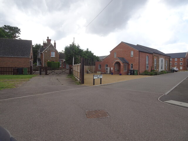
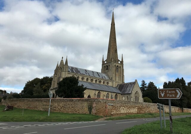
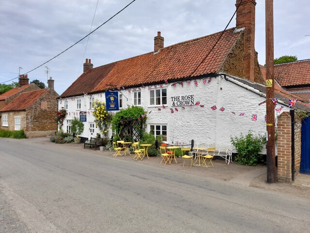
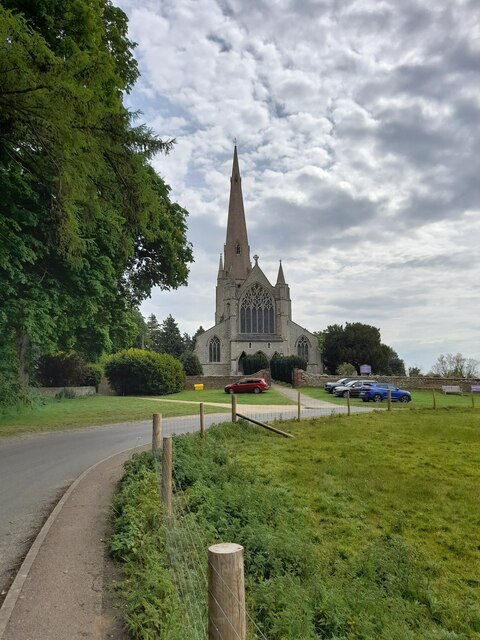
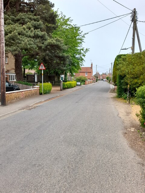
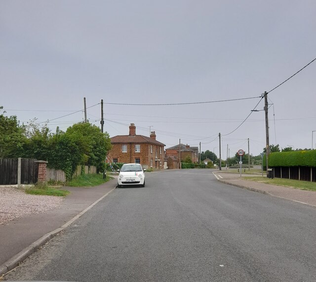
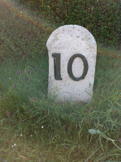
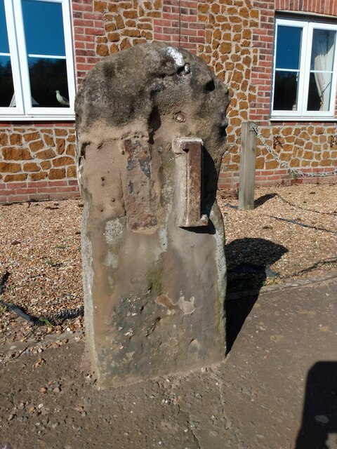
Half Moon Plantation Images
Images are sourced within 2km of 52.883952/0.50979369 or Grid Reference TF6834. Thanks to Geograph Open Source API. All images are credited.


Half Moon Plantation is located at Grid Ref: TF6834 (Lat: 52.883952, Lng: 0.50979369)
Administrative County: Norfolk
District: King's Lynn and West Norfolk
Police Authority: Norfolk
What 3 Words
///jumbo.office.spenders. Near Snettisham, Norfolk
Nearby Locations
Related Wikis

Snettisham Hoard
The Snettisham Hoard or Snettisham Treasure is a series of discoveries of Iron Age precious metal, found in the Snettisham area of the English county of...
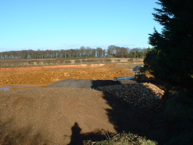
Snettisham Carstone Quarry
Snettisham Carstone Quarry is an 11-hectare (27-acre) biological Site of Special Scientific Interest north of King's Lynn in Norfolk. It is in the Norfolk...
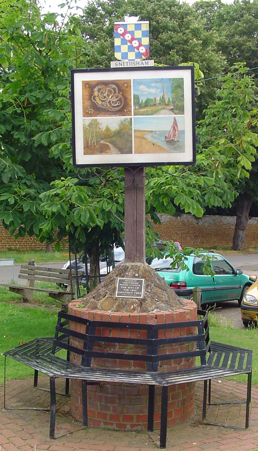
Snettisham
Snettisham is a village and civil parish in the English county of Norfolk. It is located near the west coast of Norfolk, some 5 miles (8.0 km) south of...
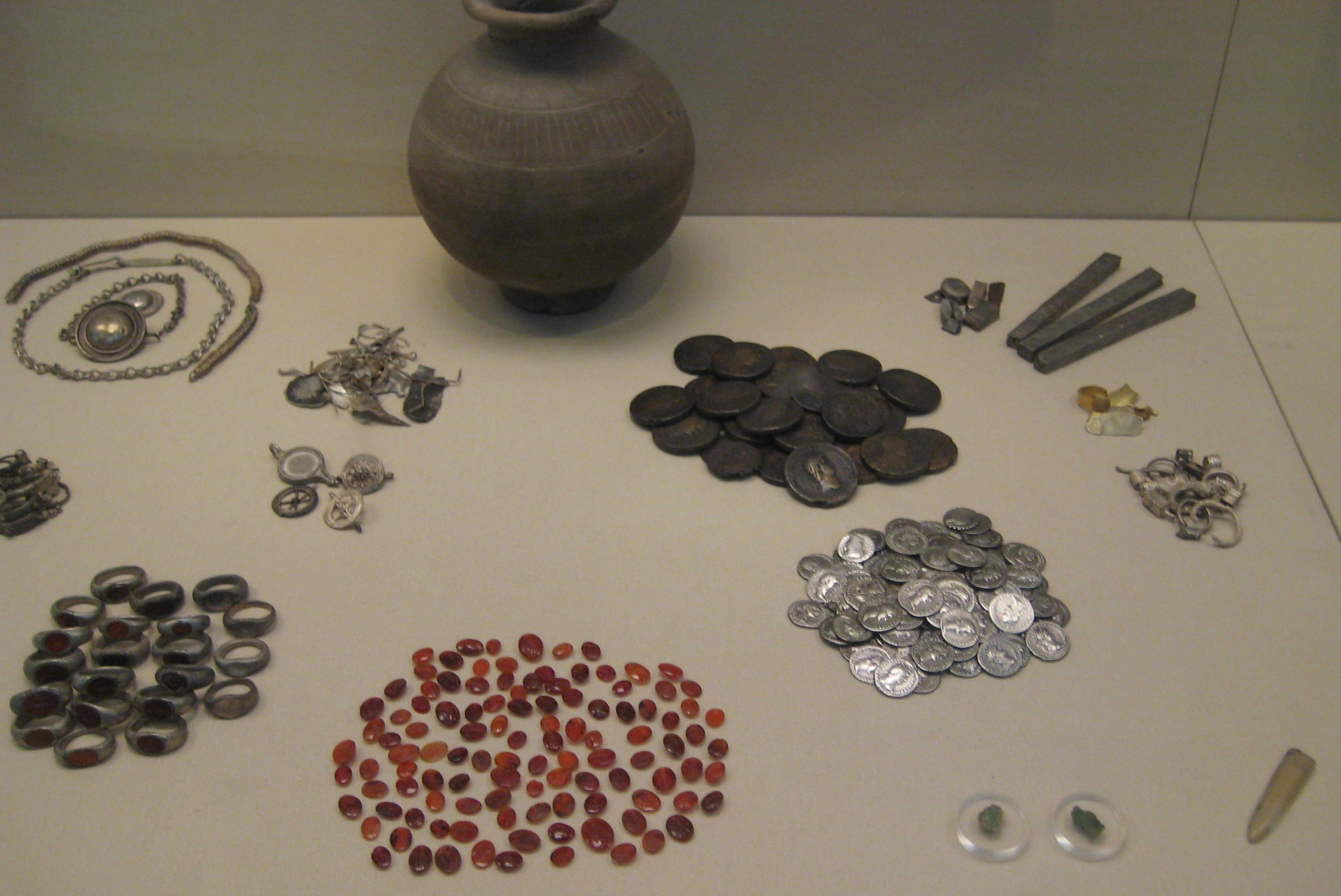
Snettisham Jeweller's Hoard
The Snettisham Jeweller's Hoard is a collection of Romano-British jewellery and raw materials, found during the construction of a house in the Norfolk...

Wild Ken Hill
Wild Ken Hill is a rewilding and regenerative agriculture project located in Norfolk, England, at the edge of The Wash. == History == The name Ken Hill...

Snettisham railway station
Snettisham was a railway station on the King's Lynn to Hunstanton line which served the village of Snettisham, a few miles north of King's Lynn in North...

Heacham Brick Pit
Heacham Brick Pit is a 0.8-hectare (2.0-acre) geological Site of Special Scientific Interest in Heacham, north of King's Lynn in Norfolk. It is a Geological...

Ingoldisthorpe
Ingoldisthorpe is a village and civil parish in the north-west of the English county of Norfolk. It is located approximately 9 miles (14 km) north-east...
Nearby Amenities
Located within 500m of 52.883952,0.50979369Have you been to Half Moon Plantation?
Leave your review of Half Moon Plantation below (or comments, questions and feedback).