Simm's Lane End

Settlement in Lancashire

England

Simm's Lane End

Footbridge  - northbound M6
Footbridge - northbound M6 Credit: Dave Thompson

Simm's Lane End is a small village located in the county of Lancashire, England. Situated in the southern part of the county, it is nestled within the picturesque countryside, offering residents and visitors a tranquil and scenic environment. The village is part of the larger borough of West Lancashire and is surrounded by lush green fields and rolling hills.

Despite its small size, Simm's Lane End has a rich history that dates back centuries. The village's name is believed to have originated from the Old Norse term "síða," meaning "hillside," and "endr," meaning "end." This suggests that the village is situated at the end of a hillside, which adds to its unique charm.

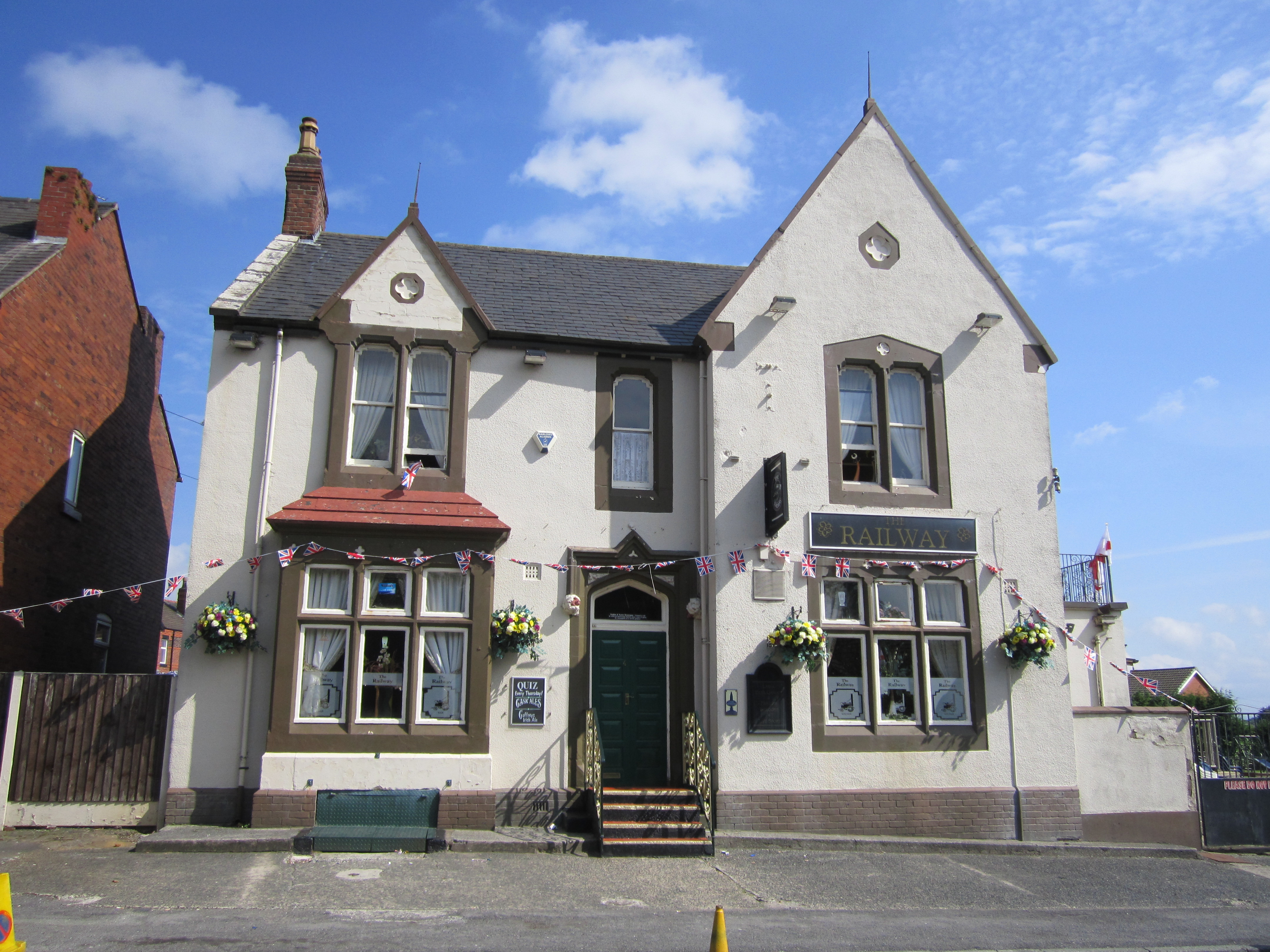
The village is predominantly residential, with a close-knit community that values its rural surroundings. It is home to a mix of traditional stone cottages and more modern houses, giving it a diverse architectural feel. The village also features a few amenities for its residents, including a local pub, a village hall, and a primary school.

For outdoor enthusiasts, Simm's Lane End offers plenty of opportunities to explore the surrounding natural beauty. There are numerous walking and cycling routes that meander through the nearby countryside, allowing visitors to enjoy the fresh air and stunning views. The village is also within close proximity to the larger towns of Ormskirk and Skelmersdale, providing access to additional amenities and services.

Overall, Simm's Lane End is a peaceful and idyllic village that offers a charming countryside retreat for those seeking a slower pace of life.

If you have any feedback on the listing, please let us know in the comments section below.

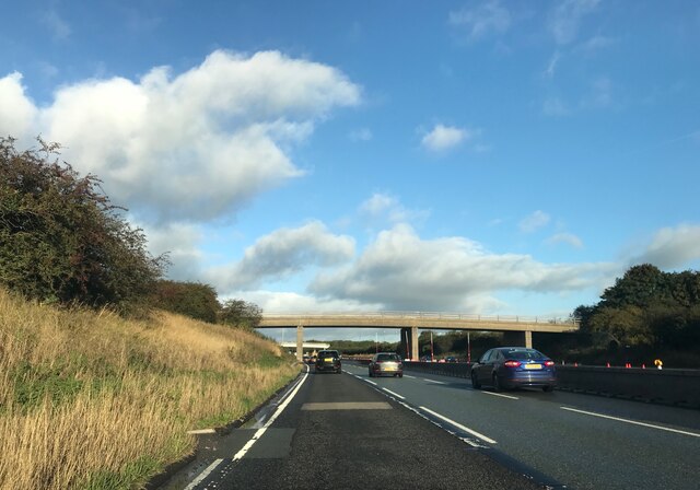
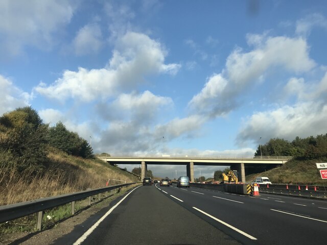
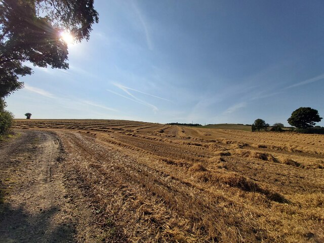
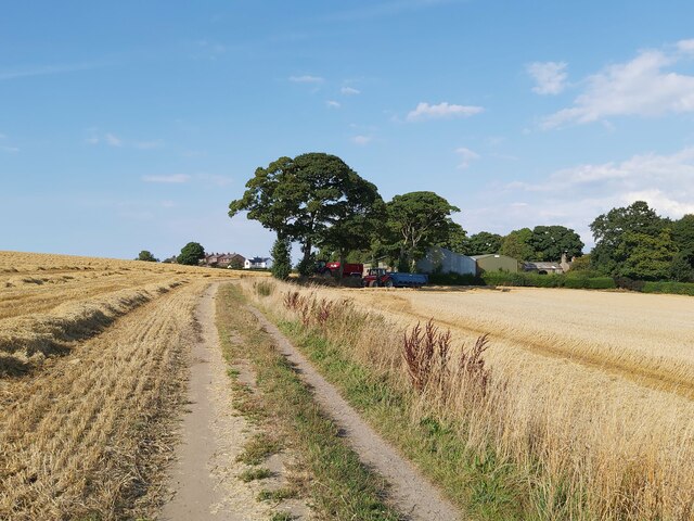
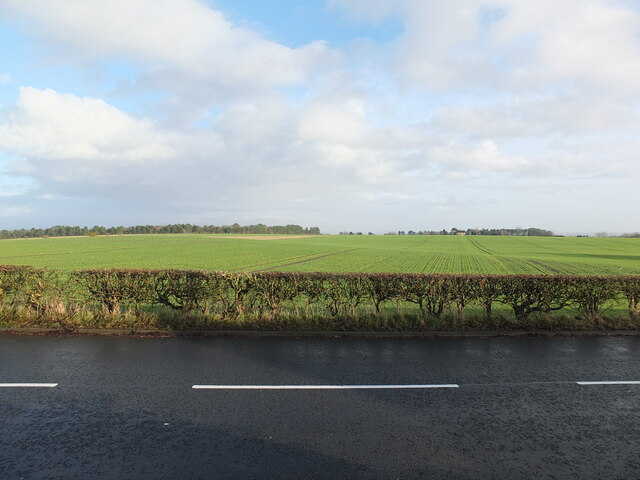
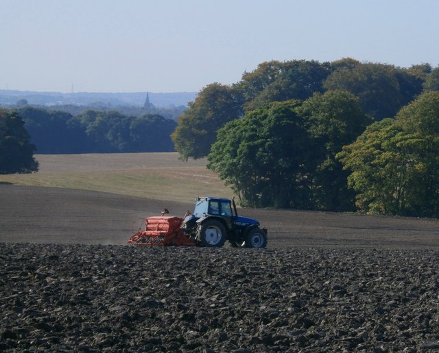
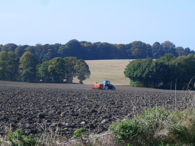
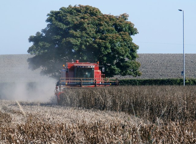
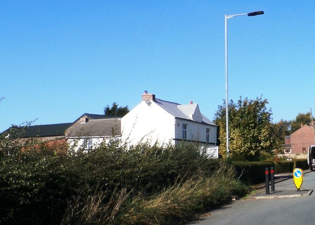
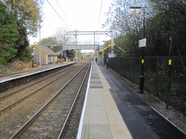
Simm's Lane End Images

Images are sourced within 2km of 53.496087/-2.683579 or Grid Reference SD5400. Thanks to Geograph Open Source API. All images are credited.

Footbridge  - northbound M6
Footbridge - northbound M6
Downall Green Road crossing M6
Footbridge over M6
Footbridge over M6
A571 crossing the M6
Downall Green Road crossing M6 northbound
Brocstedes Road crossing M6 northbound
Wigan Road crossing M6 northbound
Barley Straw After the barley harvest near Upholland Road
Barley Straw
After the barley harvest near Upholland Road
Harvest Time in Billinge
View East from Upholland Road on Christmas Day 2022 A collection of photographs taken around midday by Geographers from all over Britain and Ireland. 
See all the images on the map: <a title="https://www.geograph.org.uk/stuff/xmas.php?year=2022" href="https://www.geograph.org.uk/stuff/xmas.php?year=2022">Link</a>
View East from Upholland Road on Christmas Day 2022
A collection of photographs taken around midday by Geographers from all over Britain and Ireland. See all the images on the map: Link
Seed Drilling Fields by Old Garswood Road
Farm fields by Old Garswood Road
Harvesting - Garswood
Weathercock Hill Farm
Garswood railway station, Merseyside Opened in 1869 by the Lancashire Union Railway on what is now the line from Liverpool Lime Street to Wigan. 
View north east towards Bryn and Wigan shortly after electrification. See <a href="https://www.geograph.org.uk/photo/3444257">SJ5599 : Garswood railway station, Merseyside</a> for a similar view six years earlier.
Garswood railway station, Merseyside
Opened in 1869 by the Lancashire Union Railway on what is now the line from Liverpool Lime Street to Wigan. View north east towards Bryn and Wigan shortly after electrification. See SJ5599 : Garswood railway station, Merseyside for a similar view six years earlier.
Junction of Main Street and Carr Mill Road, Billinge
Metropolitan Borough of Wigan : The M6 Motorway Heading northbound on the M6 Motorway through the Metropolitan Borough of Wigan.
Metropolitan Borough of Wigan : The M6 Motorway
Heading northbound on the M6 Motorway through the Metropolitan Borough of Wigan.
Closed down petrol station on Main Street There has been a petrol station here for as long as I can remember. Recently it was a Texaco but was a Shell station before that and possibly a BP before that.
Closed down petrol station on Main Street
There has been a petrol station here for as long as I can remember. Recently it was a Texaco but was a Shell station before that and possibly a BP before that.
Show me another place!

Simm's Lane End is located at Grid Ref: SD5400 (Lat: 53.496087, Lng: -2.683579)

Unitary Authority: St. Helens

Police Authority: Merseyside

What 3 Words

///chains.discouraged.jumpy. Near Billinge, Merseyside

Related Wikis

Garswood United A.F.C.

Garswood United Association Football Club is an English football club based in Garswood, near St Helens, in the ceremonial county of Merseyside and traditional...

Garswood railway station

Garswood railway station serves the village of Garswood in the Metropolitan Borough of St Helens, Merseyside, England. It is situated on the electrified...

Garswood

Garswood is a village in the Metropolitan Borough of St. Helens, Merseyside, England. The village is within the civil parish of Seneley Green. The parish...

Billinge and Winstanley Urban District

Billinge (from 1927 Billinge and Winstanley) was, from 1872 to 1974, a local government district in the administrative county of Lancashire, England. The...

Nearby Amenities

Located within 500m of 53.496087,-2.683579
Mini Roundabout
Direction: clockwise
Lat/Long: 53.4965064/-2.6806746
Bus Stop
Billinge Rd/simms Rd End/simms Rd Inn
Bus: yes
Naptan AtcoCode: 2800S11035A
Naptan Bearing: E
Naptan CommonName: Billinge Rd/simms Rd End/simms Rd Inn
Naptan Indicator: Simms Road End
Naptan Landmark: O/s 98 And Opp Simms Road Inn
Naptan NaptanCode: meradmpm
Naptan Notes: No Notes
Naptan ShortCommonName: Simms Road Inn
Naptan Street: Billinge Road
Naptan Verified: no
Public Transport: platform
Source: naptan_import
Lat/Long: 53.4965596/-2.6800828
Bus Stop
Garswood Rd/simms Rd End/simms Rd Inn
Bus: yes
Naptan AtcoCode: 2800S11035B
Naptan Bearing: S
Naptan CommonName: Garswood Rd/simms Rd End/simms Rd Inn
Naptan Indicator: Simms Road End
Naptan Landmark: Adj Simms Road Inn Opp 583
Naptan NaptanCode: meradmpt
Naptan Notes: No Notes
Naptan ShortCommonName: Simms Road Inn
Naptan Street: Garswood Road
Naptan Verified: no
Public Transport: platform
Source: naptan_import
Lat/Long: 53.4962694/-2.6805304
Bus Stop
BILLINGE RD
Bus: yes
Naptan AtcoCode: 2800S11039A
Naptan Bearing: E
Naptan CommonName: BILLINGE RD
Naptan Indicator: BILLINGE ROAD
Naptan Landmark: NR HOUSE 210
Naptan NaptanCode: meradmtj
Naptan Notes: No Notes
Naptan ShortCommonName: Billinge Rd
Naptan Street: BILLINGE ROAD
Naptan Verified: no
Public Transport: platform
Source: naptan_import
Lat/Long: 53.4970533/-2.6864824
Bus Stop
Newton Rd
Bus: yes
Naptan AtcoCode: 2800S11039B
Naptan Bearing: W
Naptan CommonName: Newton Rd
Naptan Indicator: Newton Road
Naptan Landmark: Nr Billinge Lane Farm
Naptan NaptanCode: meradmtm
Naptan Notes: No Notes
Naptan ShortCommonName: Newton Rd
Naptan Street: Newton Road
Naptan Verified: no
Public Transport: platform
Source: naptan_import
Lat/Long: 53.4968346/-2.6885592
Bus Stop
GARSWOOD ROAD
Bus: yes
Naptan AtcoCode: 2800S11044B
Naptan Bearing: NW
Naptan CommonName: GARSWOOD ROAD
Naptan Indicator: GARSWOOD ROAD
Naptan Landmark: OPP 434
Naptan NaptanCode: meradmwj
Naptan Notes: No Notes
Naptan ShortCommonName: Garswood Rd
Naptan Street: GARSWOOD ROAD
Naptan Verified: no
Public Transport: platform
Source: naptan_import
Lat/Long: 53.4928736/-2.6785919
Post Box
Operator: Royal Mail
Operator Wikidata: Q638098
Post Box Type: lamp
Ref: WN4 81
Royal Cypher: EIIR
Lat/Long: 53.4963761/-2.6807313
Weathercock Hill
Loc Name: Turpin
Natural: peak
Lat/Long: 53.492039/-2.6863987
The data included in this document is from www.openstreetmap.org. The data is made available under ODbL.

Have you been to Simm's Lane End?

Leave your review of Simm's Lane End below (or comments, questions and feedback).