Barton Clough

Valley in Lancashire

England

Barton Clough

Downall Green Road crossing M6
Downall Green Road crossing M6 Credit: Alpin Stewart

Barton Clough is a picturesque valley located in Lancashire, England. Situated in the Borough of Trafford, it is bordered by the towns of Stretford and Urmston. The valley is known for its natural beauty, offering a tranquil escape from the bustling city life of Manchester, which lies just a few miles away.

The landscape of Barton Clough is characterized by rolling green hills, lush woodlands, and a meandering stream that runs through the heart of the valley. The area is home to a rich variety of flora and fauna, making it a popular spot for nature enthusiasts and birdwatchers. Visitors can enjoy leisurely walks along the well-maintained footpaths that wind their way through the valley, taking in the stunning views and peaceful atmosphere.

Barton Clough also boasts a strong sense of community, with a close-knit population of residents who take pride in their surroundings. The valley is dotted with charming cottages and modern housing developments, providing a range of accommodation options for those looking to make it their home.

In terms of amenities, Barton Clough offers a range of facilities to cater to the needs of its residents. Local shops, schools, and leisure centers can be found in the nearby towns, providing easy access to everyday necessities and recreational activities.

Overall, Barton Clough is a hidden gem in Lancashire, offering a perfect blend of natural beauty, community spirit, and convenience. Whether you are seeking a peaceful retreat or a place to establish roots, this valley has something to offer for everyone.

If you have any feedback on the listing, please let us know in the comments section below.

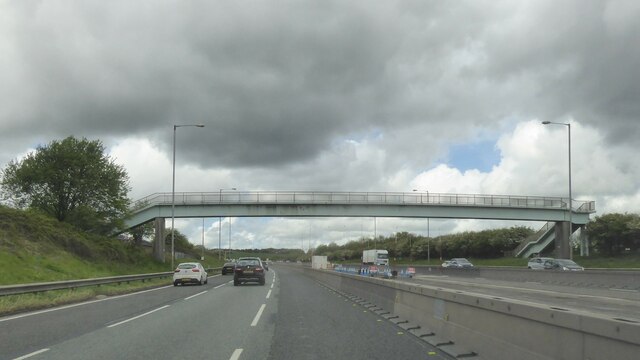
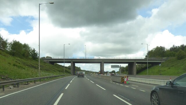
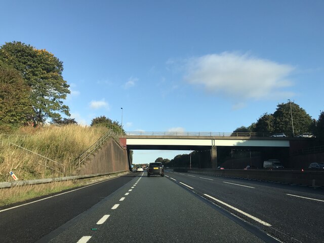
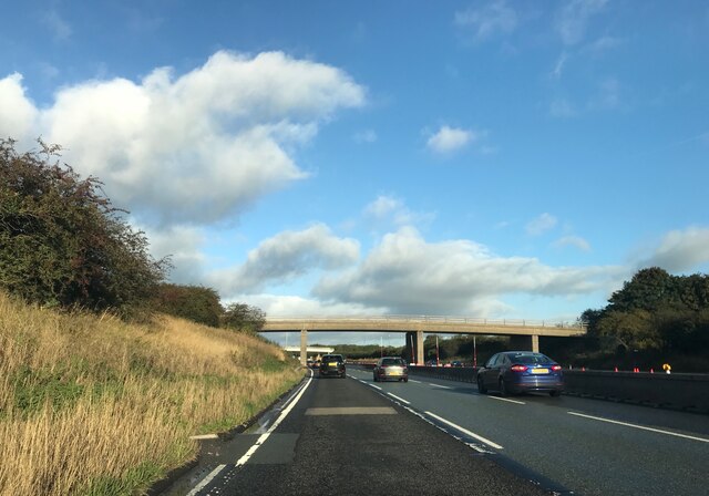
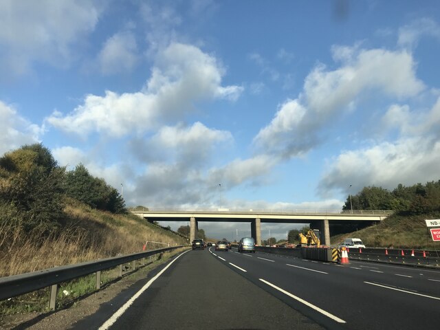
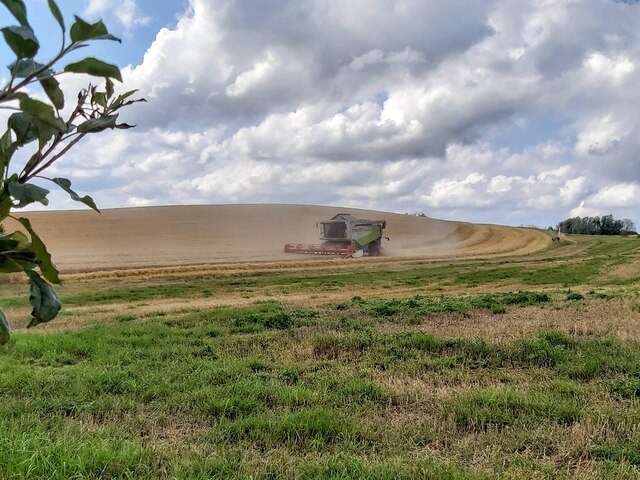
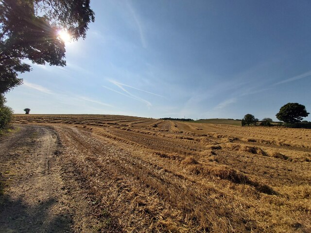
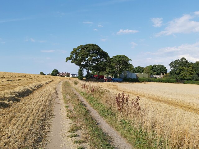
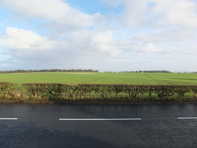
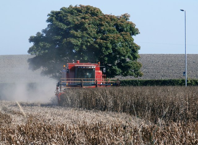
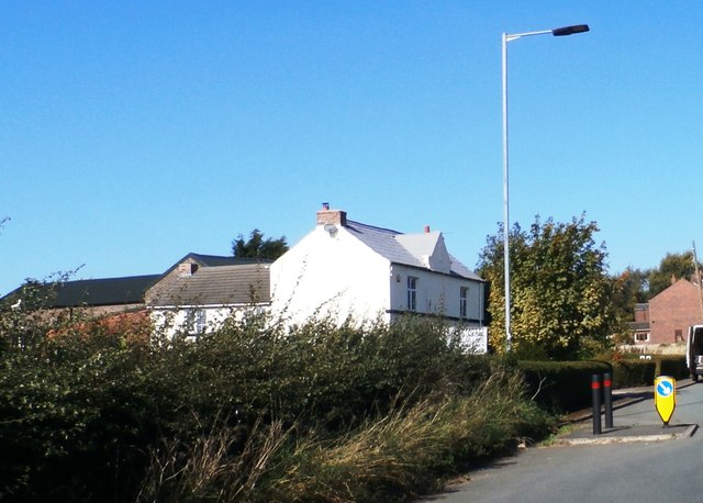
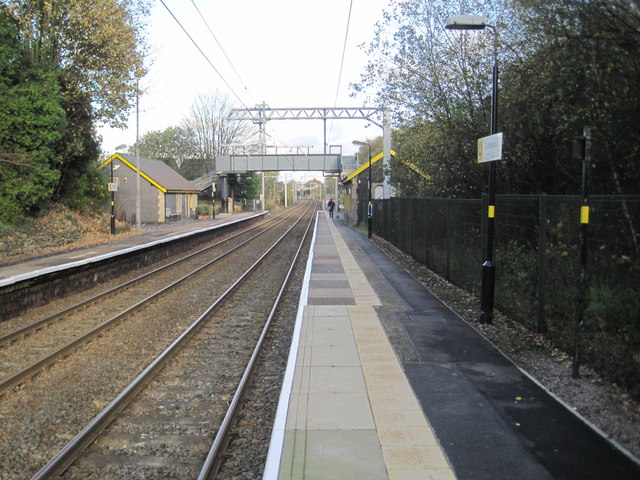
Barton Clough Images

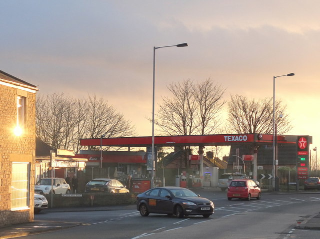
Images are sourced within 2km of 53.50138/-2.6881828 or Grid Reference SD5400. Thanks to Geograph Open Source API. All images are credited.

Downall Green Road crossing M6
Footbridge over M6
Footbridge over M6
A571 crossing the M6
Downall Green Road crossing M6 northbound
Brocstedes Road crossing M6 northbound
Wigan Road crossing M6 northbound
Harvesting Barley in Billinge
Barley Straw After the barley harvest near Upholland Road
Barley Straw
After the barley harvest near Upholland Road
Harvest Time in Billinge
View East from Upholland Road on Christmas Day 2022 A collection of photographs taken around midday by Geographers from all over Britain and Ireland. 
See all the images on the map: <a title="https://www.geograph.org.uk/stuff/xmas.php?year=2022" href="https://www.geograph.org.uk/stuff/xmas.php?year=2022">Link</a>
View East from Upholland Road on Christmas Day 2022
A collection of photographs taken around midday by Geographers from all over Britain and Ireland. See all the images on the map: Link
Harvesting - Garswood
Weathercock Hill Farm
Garswood railway station, Merseyside Opened in 1869 by the Lancashire Union Railway on what is now the line from Liverpool Lime Street to Wigan. 
View north east towards Bryn and Wigan shortly after electrification. See <a href="https://www.geograph.org.uk/photo/3444257">SJ5599 : Garswood railway station, Merseyside</a> for a similar view six years earlier.
Garswood railway station, Merseyside
Opened in 1869 by the Lancashire Union Railway on what is now the line from Liverpool Lime Street to Wigan. View north east towards Bryn and Wigan shortly after electrification. See SJ5599 : Garswood railway station, Merseyside for a similar view six years earlier.
Junction of Main Street and Carr Mill Road, Billinge
Holt Avenue, Billinge
Closed down petrol station on Main Street There has been a petrol station here for as long as I can remember. Recently it was a Texaco but was a Shell station before that and possibly a BP before that.
Closed down petrol station on Main Street
There has been a petrol station here for as long as I can remember. Recently it was a Texaco but was a Shell station before that and possibly a BP before that.
Redevelopment of Petrol Station and Spar Store on Main Street
Hamilton Road, Garswood
Show me another place!

Barton Clough is located at Grid Ref: SD5400 (Lat: 53.50138, Lng: -2.6881828)

Unitary Authority: St. Helens

Police Authority: Merseyside

What 3 Words

///stores.sticky.static. Near Billinge, Merseyside

Related Wikis

Garswood United A.F.C.

Garswood United Association Football Club is an English football club based in Garswood, near St Helens, in the ceremonial county of Merseyside and traditional...

Billinge and Winstanley Urban District

Billinge (from 1927 Billinge and Winstanley) was, from 1872 to 1974, a local government district in the administrative county of Lancashire, England. The...

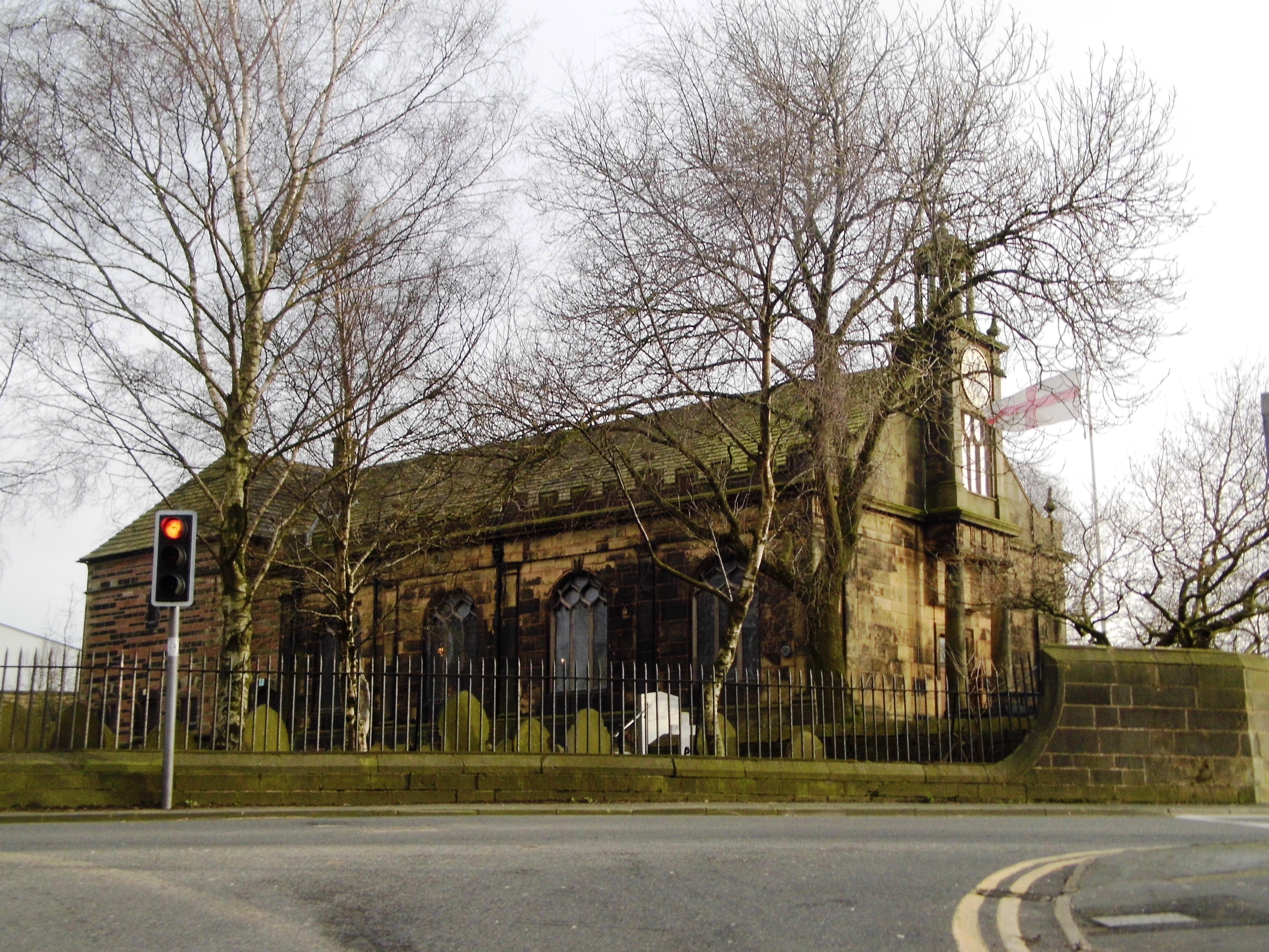
St Aidan's Church, Billinge

St Aidan's Church is in Main Street, Billinge, St Helens, Merseyside, England. It is an active Anglican parish church in the diocese of Liverpool. It...

Ashton Athletic F.C.

Ashton Athletic Football Club is a football club based in Ashton-in-Makerfield, Greater Manchester, England. They are currently members of the North West...

Nearby Amenities

Located within 500m of 53.50138,-2.6881828
Bus Stop
BILLINGE RD
Bus: yes
Naptan AtcoCode: 2800S11039A
Naptan Bearing: E
Naptan CommonName: BILLINGE RD
Naptan Indicator: BILLINGE ROAD
Naptan Landmark: NR HOUSE 210
Naptan NaptanCode: meradmtj
Naptan Notes: No Notes
Naptan ShortCommonName: Billinge Rd
Naptan Street: BILLINGE ROAD
Naptan Verified: no
Public Transport: platform
Source: naptan_import
Lat/Long: 53.4970533/-2.6864824
Tatlocks Hillock
Natural: peak
Lat/Long: 53.4999404/-2.6940591
Historic: leyland_green_pit
Note: 19th Century Mine Mine Owner(s): 1880 Samuel Stock 1900-1925 Winstanley Collieries Co. Ltd
Lat/Long: 53.5023162/-2.6841307
The data included in this document is from www.openstreetmap.org. The data is made available under ODbL.

Have you been to Barton Clough?

Leave your review of Barton Clough below (or comments, questions and feedback).