Leyland Green
Settlement in Lancashire
England
Leyland Green
Leyland Green is a small village located in the county of Lancashire, in North West England. Situated approximately 6 miles south of Preston, it falls within the borough of South Ribble. With a population of around 2,000 residents, Leyland Green is a close-knit community known for its tranquil and picturesque surroundings.
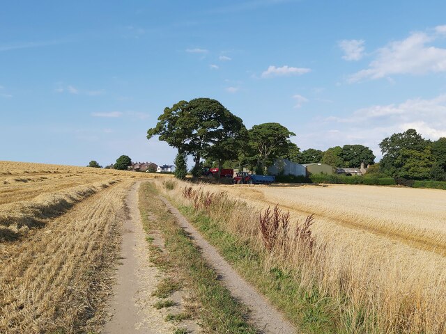
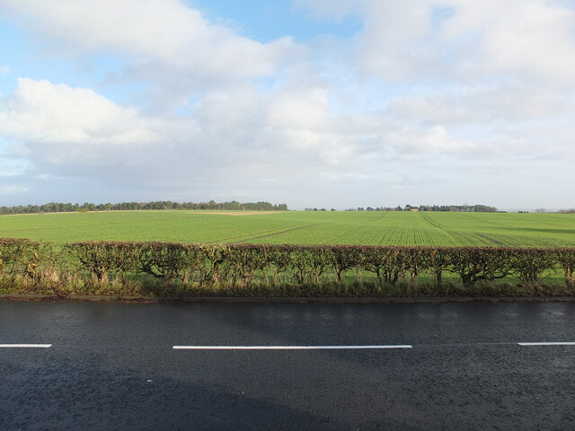
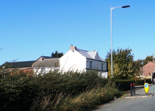
The village is characterized by its charming cottages and traditional architecture, reflecting its rich history that dates back centuries. Leyland Green is surrounded by beautiful countryside, with rolling hills and verdant fields, making it an ideal location for nature lovers and outdoor enthusiasts. The village is also in proximity to several nature reserves and parks, offering plenty of opportunities for walking, hiking, and wildlife spotting.
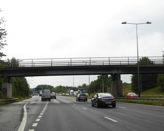
Despite its rural setting, Leyland Green benefits from its close proximity to major transport links. The M6 motorway is easily accessible, providing convenient connections to nearby cities such as Manchester and Liverpool. The village is also served by regular bus services, ensuring easy access to neighboring towns and villages.
In terms of amenities, Leyland Green offers a range of facilities to cater to the needs of its residents. These include a local primary school, a community center, and a handful of shops and pubs. Additionally, the village is home to a number of small businesses and farms, contributing to its local economy.
Overall, Leyland Green is a charming village with a strong community spirit, offering a peaceful and idyllic lifestyle in the heart of Lancashire's countryside.
If you have any feedback on the listing, please let us know in the comments section below.
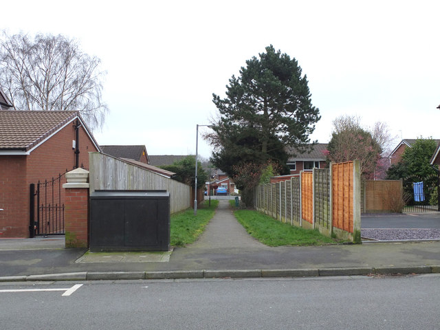
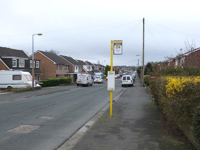
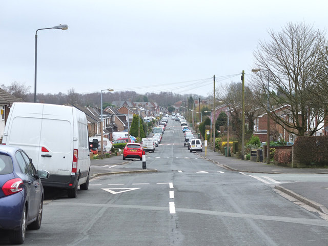
Leyland Green Images
Images are sourced within 2km of 53.498583/-2.680585 or Grid Reference SD5400. Thanks to Geograph Open Source API. All images are credited.


Leyland Green is located at Grid Ref: SD5400 (Lat: 53.498583, Lng: -2.680585)
Unitary Authority: St. Helens
Police Authority: Merseyside
What 3 Words
///fakes.hint.awake. Near Billinge, Merseyside
Nearby Locations
Related Wikis

Garswood United A.F.C.
Garswood United Association Football Club is an English football club based in Garswood, near St Helens, in the ceremonial county of Merseyside and traditional...
Billinge and Winstanley Urban District
Billinge (from 1927 Billinge and Winstanley) was, from 1872 to 1974, a local government district in the administrative county of Lancashire, England. The...
Ashton Athletic F.C.
Ashton Athletic Football Club is a football club based in Ashton-in-Makerfield, Greater Manchester, England. They are currently members of the North West...

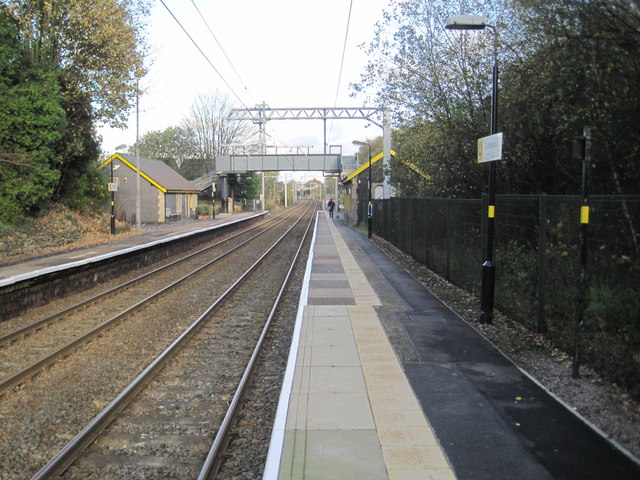
Garswood railway station
Garswood railway station serves the village of Garswood in the Metropolitan Borough of St Helens, Merseyside, England. It is situated on the electrified...
Nearby Amenities
Located within 500m of 53.498583,-2.680585Have you been to Leyland Green?
Leave your review of Leyland Green below (or comments, questions and feedback).