Shoreham Beach

Settlement in Sussex Adur

England

Shoreham Beach

Paddock A horse feeding in a paddock off the A283 near Old Shoreham, with Lancing College in the left background.
Paddock Credit: Ian Capper

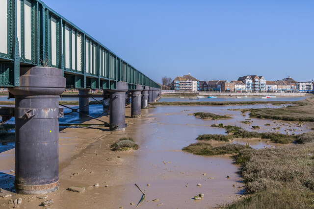
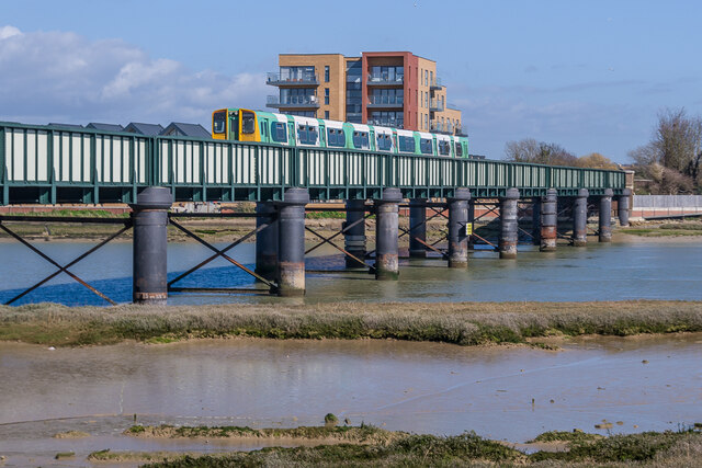
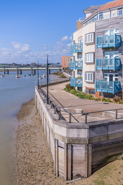
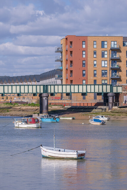
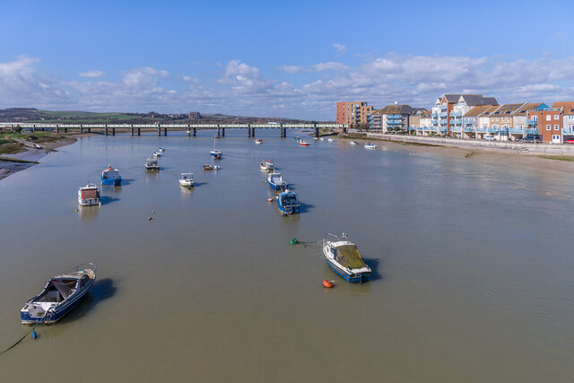
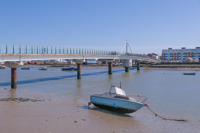
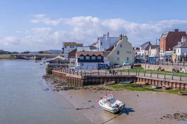
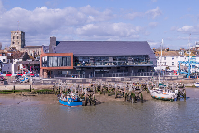
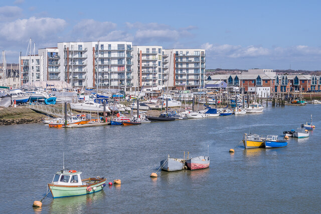
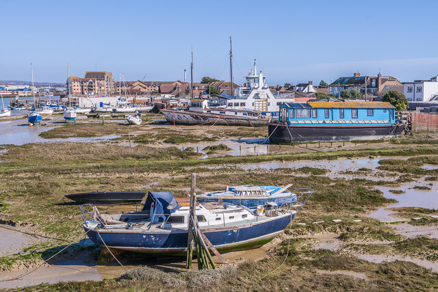
Shoreham Beach is a picturesque coastal area located in Sussex, England. Situated on the eastern bank of the River Adur, it offers stunning views of the English Channel and serves as a popular destination for locals and tourists alike.

The beach stretches for approximately 2 miles and is known for its pebbled shores, which are perfect for leisurely strolls and picnics. The area is well-maintained and provides a peaceful atmosphere, making it an ideal spot for relaxation and enjoying the natural beauty of the surrounding environment.

One of the key attractions of Shoreham Beach is its diverse wildlife. The beach is home to a variety of bird species, including gulls, oystercatchers, and even peregrine falcons. As a designated Local Nature Reserve, it provides a safe haven for these creatures and other coastal flora and fauna.

In addition to its natural wonders, Shoreham Beach offers a range of recreational activities. The calm waters make it an excellent spot for swimming, paddleboarding, and kayaking, while the expansive beach is perfect for building sandcastles and sunbathing. Furthermore, the nearby Adur River offers opportunities for water sports such as windsurfing and sailing.

Shoreham Beach is well-served by amenities, including a café, public toilets, and ample parking facilities. There are also several nearby walking and cycling paths, allowing visitors to explore the surrounding area and enjoy the stunning views.

Overall, Shoreham Beach is a charming coastal destination, offering a mix of natural beauty, wildlife, and recreational activities, making it a must-visit location for both locals and tourists seeking a tranquil seaside escape.

If you have any feedback on the listing, please let us know in the comments section below.

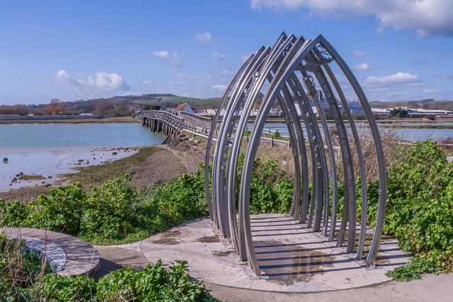
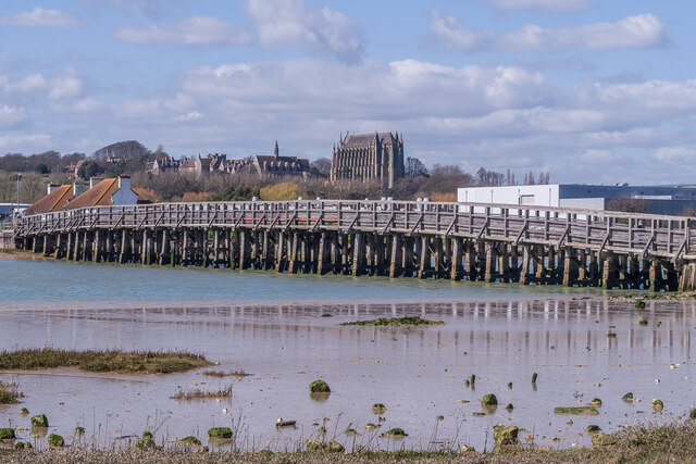
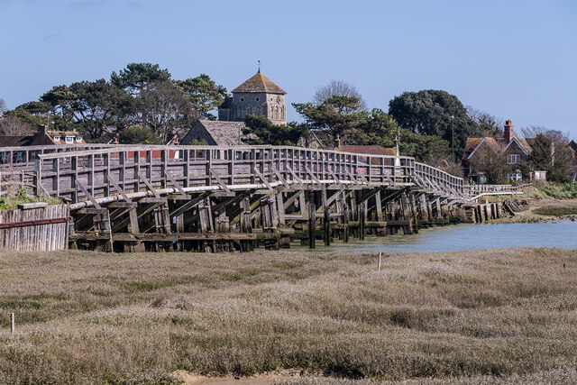
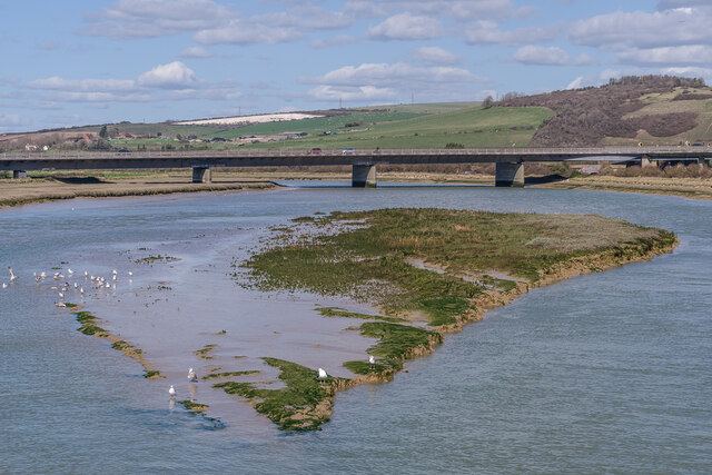
Shoreham Beach Images

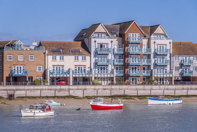
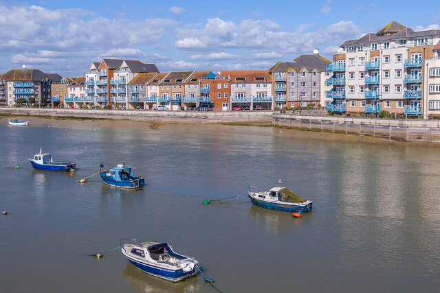
Images are sourced within 2km of 50.829313/-0.272306 or Grid Reference TQ2104. Thanks to Geograph Open Source API. All images are credited.

Paddock A horse feeding in a paddock off the A283 near Old Shoreham, with Lancing College in the left background.
Paddock
A horse feeding in a paddock off the A283 near Old Shoreham, with Lancing College in the left background.
Artwork Artwork alongside the Downs Link cycle/foot trail, with Old Shoreham Bridge across the River Adur in the background.
Artwork
Artwork alongside the Downs Link cycle/foot trail, with Old Shoreham Bridge across the River Adur in the background.
Old Shoreham Bridge Bridge over the River Adur near Old Shoreham, now a foot/cycle bridge.  Originally built in 1781, it was rebuilt to the same design during the First World War.  Until 1970 it formed part of the A27, with a toll for its use, until relieved by the opening of the Shoreham bypass, with a new viaduct over the river around 300m north of the old bridge.  It was then closed to road traffic and made a bridleway.  It underwent a full restoration in 2008.  Grade II* listed - see <span class="nowrap"><a title="https://historicengland.org.uk/listing/the-list/list-entry/1027895?section=official-list-entry" rel="nofollow ugc noopener" href="https://historicengland.org.uk/listing/the-list/list-entry/1027895?section=official-list-entry">Link</a><img style="margin-left:2px;" alt="External link" title="External link - shift click to open in new window" src="https://s1.geograph.org.uk/img/external.png" width="10" height="10"/></span>.

In the background is Lancing College.
Old Shoreham Bridge
Bridge over the River Adur near Old Shoreham, now a foot/cycle bridge. Originally built in 1781, it was rebuilt to the same design during the First World War. Until 1970 it formed part of the A27, with a toll for its use, until relieved by the opening of the Shoreham bypass, with a new viaduct over the river around 300m north of the old bridge. It was then closed to road traffic and made a bridleway. It underwent a full restoration in 2008. Grade II* listed - see LinkExternal link. In the background is Lancing College.
Old Shoreham Bridge Bridge over the River Adur near Old Shoreham, now a foot/cycle bridge.  Originally built in 1781, it was rebuilt to the same design during the First World War.  Until 1970 it formed part of the A27, with a toll for its use, until relieved by the opening of the Shoreham bypass, with a new viaduct over the river around 300m north of the old bridge.  It was then closed to road traffic and made a bridleway.  It underwent a full restoration in 2008.  Grade II* listed - see <span class="nowrap"><a title="https://historicengland.org.uk/listing/the-list/list-entry/1027895?section=official-list-entry" rel="nofollow ugc noopener" href="https://historicengland.org.uk/listing/the-list/list-entry/1027895?section=official-list-entry">Link</a><img style="margin-left:2px;" alt="External link" title="External link - shift click to open in new window" src="https://s1.geograph.org.uk/img/external.png" width="10" height="10"/></span>.

In the background is St Nicolas' Church, Old Shoreham.
Old Shoreham Bridge
Bridge over the River Adur near Old Shoreham, now a foot/cycle bridge. Originally built in 1781, it was rebuilt to the same design during the First World War. Until 1970 it formed part of the A27, with a toll for its use, until relieved by the opening of the Shoreham bypass, with a new viaduct over the river around 300m north of the old bridge. It was then closed to road traffic and made a bridleway. It underwent a full restoration in 2008. Grade II* listed - see LinkExternal link. In the background is St Nicolas' Church, Old Shoreham.
River Adur Looking along the River Adur from the Old Shoreham Bridge with the A27 Adur Viaduct, completed in 1970, in the background.
River Adur
Looking along the River Adur from the Old Shoreham Bridge with the A27 Adur Viaduct, completed in 1970, in the background.
Shoreham Railway Viaduct Viaduct carrying the West Coastway railway over the River Adur.  It was built in 1893, replacing an earlier wooden trestle viaduct opened in 1845.
Shoreham Railway Viaduct
Viaduct carrying the West Coastway railway over the River Adur. It was built in 1893, replacing an earlier wooden trestle viaduct opened in 1845.
Shoreham Railway Viaduct Viaduct carrying the West Coastway railway over the River Adur.  It was built in 1893, replacing an earlier wooden trestle viaduct opened in 1845.  Seen here with Class 313 no 313215 crossing on a westbound stopping service.
Shoreham Railway Viaduct
Viaduct carrying the West Coastway railway over the River Adur. It was built in 1893, replacing an earlier wooden trestle viaduct opened in 1845. Seen here with Class 313 no 313215 crossing on a westbound stopping service.
Linemans View Part of the Ropetackle development overlooking the River Adur, completed in 2005.
Linemans View
Part of the Ropetackle development overlooking the River Adur, completed in 2005.
Marline Court Part of the Ropetackle development overlooking the River Adur, completed in 2006.
Marline Court
Part of the Ropetackle development overlooking the River Adur, completed in 2006.
Linemans View and Marline Court Parts of the Ropetackle development overlooking the River Adur, completed in 2005 and 2006 respectively.
Linemans View and Marline Court
Parts of the Ropetackle development overlooking the River Adur, completed in 2005 and 2006 respectively.
Marline Court Part of the Ropetackle development overlooking the River Adur, completed in 2006.  In the background is the viaduct carrying the West Coastway railway over the river, with Lancing College beyond.
Marline Court
Part of the Ropetackle development overlooking the River Adur, completed in 2006. In the background is the viaduct carrying the West Coastway railway over the river, with Lancing College beyond.
River Adur Looking across the River Adur towards the viaduct carrying the West Coastway railway over the river, with Ringed Plover Apartments in Salt Marsh Road beyond.
River Adur
Looking across the River Adur towards the viaduct carrying the West Coastway railway over the river, with Ringed Plover Apartments in Salt Marsh Road beyond.
River Adur Looking up the River Adur towards the viaduct carrying the West Coastway railway over the river.
River Adur
Looking up the River Adur towards the viaduct carrying the West Coastway railway over the river.
Adur Ferry Bridge Footbridge over the River Adur, connecting the main part of Shoreham with Shoreham Beach.  Built in 2013, it replaced a previous one dating from 1921.  The central section is a swingbridge, allowing boats to access the next section of the river.
Adur Ferry Bridge
Footbridge over the River Adur, connecting the main part of Shoreham with Shoreham Beach. Built in 2013, it replaced a previous one dating from 1921. The central section is a swingbridge, allowing boats to access the next section of the river.
River Adur shoreline The shoreline of the River Adur, with buildings in High Street on the right.
River Adur shoreline
The shoreline of the River Adur, with buildings in High Street on the right.
Sussex Yacht Club The clubhouse of Sussex Yacht Club on the banks of the River Adur, completed in 2021.  In the left background is the tower of St Mary's Church.
Sussex Yacht Club
The clubhouse of Sussex Yacht Club on the banks of the River Adur, completed in 2021. In the left background is the tower of St Mary's Church.
Mariner Point Apartment development on the banks of the River Adur, completed in around 2020.
Mariner Point
Apartment development on the banks of the River Adur, completed in around 2020.
River Adur shoreline Boats moored alongside the River Adur at Shoreham Beach.  The former car ferry in the background, The Shieldsman, originally operated across the River Tyne between North and South Shields from 1976 until retired in 2007, and like many of the boats along this stretch of the river has now been converted into a houseboat.
River Adur shoreline
Boats moored alongside the River Adur at Shoreham Beach. The former car ferry in the background, The Shieldsman, originally operated across the River Tyne between North and South Shields from 1976 until retired in 2007, and like many of the boats along this stretch of the river has now been converted into a houseboat.
Show me another place!

Shoreham Beach is located at Grid Ref: TQ2104 (Lat: 50.829313, Lng: -0.272306)

Administrative County: West Sussex

District: Adur

Police Authority: Sussex

What 3 Words

///chatted.deed.bulletins. Near Shoreham-by-Sea, West Sussex

Related Wikis

Shoreham Beach

Shoreham Beach is a 26.2-hectare (65-acre) Local Nature Reserve in Shoreham-by-Sea in West Sussex. It is owned and managed by Adur District Council.The...

Marlipins Museum

Marlipins Museum, is a 12th to early-13th century Grade II* listed building on the High Street in Shoreham-by-Sea, a town in Adur district in West Sussex...

St Mary de Haura Church, Shoreham-by-Sea

St Mary de Haura Church is an Anglican church in the ancient "New Shoreham" area of Shoreham-by-Sea in the district of Adur, one of seven local government...

Shoreham Town Hall

Shoreham Town Hall is a municipal building in the High Street, Shoreham-by-Sea, West Sussex, England. The town hall, which was the headquarters of Shoreham...

Nearby Amenities

Located within 500m of 50.829313,-0.272306
Created By: almien_coastlines
Source: PGS
Lat/Long: 50.8299567/-0.2715547
Source: PGS
Lat/Long: 50.8298954/-0.2725139
Created By: almien_coastlines
Source: PGS
Lat/Long: 50.8296198/-0.2745306
Source: PGS
Lat/Long: 50.82925/-0.2753852
Source: PGS
Lat/Long: 50.8292686/-0.2756862
Source: PGS
Lat/Long: 50.8289675/-0.2787101
Source: PGS
Lat/Long: 50.8313885/-0.2760923
Source: PGS
Lat/Long: 50.831433/-0.2749876
Source: PGS
Lat/Long: 50.8316215/-0.2727723
Source: PGS
Lat/Long: 50.8318917/-0.2712267
Shoreham-by-Sea
Place: town
Short Name: Shoreham
Source: npe
Wikidata: Q770599
Wikipedia: en:Shoreham-by-Sea
Lat/Long: 50.8322307/-0.2746717
Crossing
Button Operated: yes
Crossing: traffic_signals
Crossing Markings: dots
Crossing Ref: toucan
Kerb: lowered
Tactile Paving: yes
Traffic Signals: pedestrian_crossing
Traffic Signals Direction: both
Traffic Signals Sound: yes
Traffic Signals Vibration: no
Lat/Long: 50.8316901/-0.2746008
Bicycle Parking
Bicycle Parking: stands
Capacity: 14
Lat/Long: 50.8317591/-0.2747232
Post Office
East Beach Post Office
Addr City: Shoreham By Sea
Addr Country: GB
Addr Housenumber: 23-27
Addr Postcode: BN43 5RA
Addr Street: Ferry Road
Brand: Post Office
Brand Wikidata: Q1783168
Brand Wikipedia: en:Post Office Ltd
Contact Website: https://www.postoffice.co.uk/branch-finder/1464582/east-beach
Description: This post office is inside The Beach Shop convenience store.
Opening Hours: Mo-Fr 08:00-19:00; Sa,Su 08:00-15:00
Operator: Post Office Ltd
Ref Pol Id: 114839
Source: receipt from visit
Lat/Long: 50.8288008/-0.2717307
Parking
Access: yes
Capacity: 46
Capacity Disabled: 3
Charge: 4 GBP
Fee: yes
Operator: Adur & Worthing Council
Operator Type: government
Parking: surface
Payment App: yes
Payment Cash: yes
Surface: asphalt
Lat/Long: 50.8295958/-0.2726376
Source: PGS
Lat/Long: 50.8305924/-0.2682854
Emerald Quay slipway
Leisure: slipway
Lat/Long: 50.8309484/-0.267023
Source: PGS
Lat/Long: 50.8310399/-0.2668781
Recycling
Lat/Long: 50.8317495/-0.2751416
Bus Stop
Old Fort Road
Naptan AtcoCode: 4400AD0150
Naptan Bearing: E
Naptan CommonName: Old Fort Road
Naptan Indicator: o/s 39
Naptan Landmark: Shingle Road
Naptan NaptanCode: wsxadjwp
Naptan PlusbusZoneRef: BRGHTN
Naptan Street: Beach Road
Naptan Verified: no
Public Transport: platform
Source: naptan_import
Lat/Long: 50.8279403/-0.2684202
Bus Stop
Ferry Road
Naptan AtcoCode: 4400AD0151
Naptan Bearing: E
Naptan CommonName: Ferry Road
Naptan Indicator: adj Ferry Road
Naptan Landmark: Ferry Road
Naptan NaptanCode: wsxadjwt
Naptan PlusbusZoneRef: BRGHTN
Naptan Street: Old Fort Road
Naptan Verified: no
Public Transport: platform
Source: naptan_import
Lat/Long: 50.8279831/-0.2710639
Bus Stop
Weald Dyke
Naptan AtcoCode: 4400AD0152
Naptan Bearing: E
Naptan CommonName: Weald Dyke
Naptan Indicator: o/s 7
Naptan Landmark: Weald Dyke
Naptan NaptanCode: wsxadmad
Naptan PlusbusZoneRef: BRGHTN
Naptan Street: Beach Road
Naptan Verified: no
Public Transport: platform
Source: naptan_import
Lat/Long: 50.8276049/-0.2763616
Bus Stop
Waterside Inn
Naptan AtcoCode: 4400AD0153
Naptan Bearing: W
Naptan CommonName: Waterside Inn
Naptan Indicator: opp Waterside Inn
Naptan Landmark: Ferry Road
Naptan NaptanCode: wsxadmag
Naptan PlusbusZoneRef: BRGHTN
Naptan Street: Riverside Road
Naptan Verified: no
Public Transport: platform
Source: naptan_import
Lat/Long: 50.8293702/-0.2720141
Bus Stop
Emerald Quay
Naptan AtcoCode: 4400AD0154
Naptan Bearing: E
Naptan CommonName: Emerald Quay
Naptan Indicator: opp Emerald Quay
Naptan Landmark: Emerald Quay
Naptan NaptanCode: wsxadmaj
Naptan PlusbusZoneRef: BRGHTN
Naptan Street: Harbour Way
Naptan Verified: no
Public Transport: platform
Source: naptan_import
Lat/Long: 50.8297067/-0.2656315
Bus Stop
Footbridge
Bench: yes
Bin: yes
Naptan AtcoCode: 4400AD0201
Naptan Bearing: W
Naptan CommonName: Crown & Anchor
Naptan Indicator: opp Church Street
Naptan Landmark: Church Street
Naptan NaptanCode: wsxadmwt
Naptan PlusbusZoneRef: BRGHTN
Naptan Street: High Street
Naptan Verified: no
Public Transport: platform
Shelter: yes
Source: naptan_import
Tactile Paving: no
Wheelchair: limited
Lat/Long: 50.8316131/-0.2753334
Bus Stop
Footbridge
Bench: yes
Bin: yes
Naptan AtcoCode: 4400AD0202
Naptan Bearing: E
Naptan CommonName: High Street
Naptan Indicator: adj Church Street
Naptan Landmark: outside co op
Naptan NaptanCode: wsxadpad
Naptan PlusbusZoneRef: BRGHTN
Naptan Street: High Street
Naptan Verified: no
Public Transport: platform
Shelter: yes
Source: naptan_import
Tactile Paving: no
Lat/Long: 50.8317923/-0.2757435
Bus Stop
High Street
Alt Name: National Express Stop
Naptan AltCommonName: National Express Stop
Naptan AltStreet: Not Specified
Naptan AtcoCode: 4400AD0204
Naptan Bearing: SE
Naptan CommonName: High Street
Naptan Indicator: adj
Naptan Landmark: Ship Street
Naptan NaptanCode: wsxadpaj
Naptan PlusbusZoneRef: BRGHTN
Naptan Street: High Street
Naptan Verified: yes
Public Transport: platform
Source: naptan_import
Lat/Long: 50.8322884/-0.2774435
Bus Stop
Mannings
Naptan AtcoCode: 4400AD0311
Naptan Bearing: N
Naptan CommonName: Mannings
Naptan Indicator: outside No.1 to 4
Naptan Landmark: Mannings
Naptan NaptanCode: wsxadwdm
Naptan PlusbusZoneRef: BRGHTN
Naptan Street: Surrey Road
Naptan Verified: no
Public Transport: platform
Source: naptan_import
Lat/Long: 50.8331353/-0.2701259
Bus Stop
Duke of Wellington
Naptan AtcoCode: 4400AD0316
Naptan Bearing: W
Naptan CommonName: Duke of Wellington
Naptan Indicator: Opp Duke of Wellington PH
Naptan Landmark: Surrey Arms
Naptan NaptanCode: wsxadwgd
Naptan PlusbusZoneRef: BRGHTN
Naptan Street: Brighton Road A259
Naptan Verified: no
Public Transport: platform
Source: naptan_import
Lat/Long: 50.8326673/-0.2695351
Bus Stop
Duke of Wellington
Naptan AtcoCode: 4400AD0317
Naptan Bearing: E
Naptan CommonName: Duke of Wellington
Naptan Indicator: Duke of Wellington PH
Naptan Landmark: Surrey Arms
Naptan NaptanCode: wsxadwgj
Naptan PlusbusZoneRef: BRGHTN
Naptan Street: Brighton Road A259
Naptan Verified: no
Public Transport: platform
Source: naptan_import
Lat/Long: 50.8328108/-0.2691988
Taxi
High Street Taxi
Naptan AtcoCode: 4400TAXI040
Naptan CommonName: High Street Taxi
Naptan Indicator: opp West Street
Naptan Landmark: West Street
Naptan PlusbusZoneRef: BRGHTN
Naptan Street: High Street
Naptan Verified: no
Source: naptan_import
Lat/Long: 50.8321816/-0.2777286
Bench
Lat/Long: 50.8273348/-0.271463
Disused Amenity: post_office
Note: This post office has moved to Maxi's Convenience Store, High Street.
Source: OS_OpenData_StreetView
Lat/Long: 50.833681/-0.27304
Source: PGS
Lat/Long: 50.830299/-0.269531
Bicycle Parking
Bicycle Parking: stands
Capacity: 4
Covered: no
Lat/Long: 50.8328401/-0.2689341
Source: PGS
Lat/Long: 50.830536/-0.268708
Surry Hard
Leisure: slipway
Lat/Long: 50.8318815/-0.2695684
Source: PGS
Lat/Long: 50.8318303/-0.2675119
Shoreham War Memorial
Historic: memorial
Memorial: war_memorial
Lat/Long: 50.8325176/-0.2740676
Post Office
Shoreham-by-Sea Post Office
Addr City: Shoreham-by-Sea
Addr Country: GB
Addr Housenumber: 6
Addr Postcode: BN43 5DA
Addr Street: High Street
Description: This post office is inside Maxi's Convenience Store.
Opening Hours: Mo-Su 07:00-23:00
Operator: Post Office Ltd
Ref Pol Id: 144718
Lat/Long: 50.8318287/-0.2749995
Post Box
Brand: Royal Mail
Brand Wikidata: Q638098
Brand Wikipedia: en:Royal Mail
Collection Times: Mo-Fr 18:00; Sa off
Opening Hours: Mo-Fr 13:00-18:00
Operator: Royal Mail
Operator Wikidata: Q638098
Post Box Type: meter
Royal Cypher: no
Lat/Long: 50.83249/-0.2697135
Post Box
Brand: Royal Mail
Brand Wikidata: Q638098
Brand Wikipedia: en:Royal Mail
Collection Plate: CP1
Collection Times: Mo-Fr 17:15, Sa 12:30
Note: There is a postbox sticker stating that from 28.01.2019 the last collection will be 09:00 Mon-Fri and 07:00 Sat. But the postbox notice has not been updated. The ref should be BN43 1539D and the CP should be CP1D.
Operator: Royal Mail
Operator Wikidata: Q638098
Post Box Type: pillar
Ref: BN43 1539
Royal Cypher: EIIR
Royal Cypher Wikidata: Q33102113
Lat/Long: 50.8318062/-0.2757311
Post Box
Brand: Royal Mail
Brand Wikidata: Q638098
Brand Wikipedia: en:Royal Mail
Collection Plate: CP1-LC
Collection Times: Mo-Fr 18:00; Sa 11:45
Operator: Royal Mail
Operator Wikidata: Q638098
Post Box Type: pillar
Ref: BN43 1540
Royal Cypher: EIIR
Royal Cypher Wikidata: Q33102113
Lat/Long: 50.8328175/-0.2690432
Generator Method: photovoltaic
Generator Output Electricity: yes
Generator Source: solar
Generator Type: solar_photovoltaic_panel
Location: roof
Power: generator
Lat/Long: 50.8280108/-0.2763424
Generator Method: photovoltaic
Generator Output Electricity: yes
Generator Source: solar
Generator Type: solar_photovoltaic_panel
Location: roof
Power: generator
Lat/Long: 50.8277916/-0.276058
Generator Method: photovoltaic
Generator Output Electricity: yes
Generator Source: solar
Generator Type: solar_photovoltaic_panel
Location: roof
Power: generator
Lat/Long: 50.827739/-0.2716055
Generator Method: photovoltaic
Generator Output Electricity: yes
Generator Source: solar
Generator Type: solar_photovoltaic_panel
Location: roof
Power: generator
Lat/Long: 50.8280952/-0.2731454
Generator Method: photovoltaic
Generator Output Electricity: yes
Generator Source: solar
Generator Type: solar_photovoltaic_panel
Location: roof
Power: generator
Lat/Long: 50.8284579/-0.2693851
Generator Method: photovoltaic
Generator Output Electricity: yes
Generator Source: solar
Generator Type: solar_photovoltaic_panel
Location: roof
Power: generator
Lat/Long: 50.8284558/-0.2693417
Generator Method: photovoltaic
Generator Output Electricity: yes
Generator Source: solar
Generator Type: solar_photovoltaic_panel
Location: roof
Power: generator
Lat/Long: 50.8287404/-0.2680615
Generator Method: photovoltaic
Generator Output Electricity: yes
Generator Source: solar
Generator Type: solar_photovoltaic_panel
Location: roof
Power: generator
Lat/Long: 50.8283762/-0.2681397
Generator Method: photovoltaic
Generator Output Electricity: yes
Generator Source: solar
Generator Type: solar_photovoltaic_panel
Location: roof
Power: generator
Lat/Long: 50.8283736/-0.2681998
Generator Method: photovoltaic
Generator Output Electricity: yes
Generator Source: solar
Generator Type: solar_photovoltaic_panel
Location: roof
Power: generator
Lat/Long: 50.8275497/-0.2676415
Generator Method: photovoltaic
Generator Output Electricity: yes
Generator Source: solar
Generator Type: solar_photovoltaic_panel
Location: roof
Power: generator
Lat/Long: 50.8274972/-0.2679017
Generator Method: photovoltaic
Generator Output Electricity: yes
Generator Source: solar
Generator Type: solar_photovoltaic_panel
Location: roof
Power: generator
Lat/Long: 50.8283782/-0.2659571
Generator Method: photovoltaic
Generator Output Electricity: yes
Generator Source: solar
Generator Type: solar_photovoltaic_panel
Location: roof
Power: generator
Lat/Long: 50.8287035/-0.2663031
Generator Method: photovoltaic
Generator Output Electricity: yes
Generator Source: solar
Generator Type: solar_photovoltaic_panel
Location: roof
Power: generator
Lat/Long: 50.829586/-0.2654579
Crossing
Crossing: traffic_signals
Crossing Markings: dots
Crossing Ref: puffin
Kerb: lowered
Tactile Paving: yes
Traffic Signals: pedestrian_crossing
Traffic Signals Direction: both
Lat/Long: 50.8321168/-0.2770903
Post Box
Brand: Royal Mail
Brand Wikidata: Q638098
Brand Wikipedia: en:Royal Mail
Collection Plate: CP1
Collection Times: Mo-Fr 17:00; Sa 12:15
Last Checked: 2020-10-01
Operator: Royal Mail
Operator Wikidata: Q638098
Post Box Type: pillar
Ref: BN43 1535
Royal Cypher: GVIR
Royal Cypher Wikidata: Q33102169
Source: survey
Lat/Long: 50.8290205/-0.2720425
Bench
Backrest: yes
Colour: brown
Source: survey
Lat/Long: 50.8293097/-0.2721374
Waste Basket
Ashtray: no
Colour: brown
Covered: yes
Material: wood
Source: survey
Lat/Long: 50.829307/-0.2721972
Bus Stop
Benbow Close
Naptan AtcoCode: 4400AD0375
Naptan NaptanCode: wsxgjwdw
Public Transport: platform
Lat/Long: 50.8289652/-0.2752526
Bus Stop
Beach Green
Public Transport: platform
Lat/Long: 50.8278457/-0.2790242
Crossing
Crossing: uncontrolled
Crossing Island: no
Crossing Ref: zebra
Kerb: lowered
Tactile Paving: yes
Lat/Long: 50.8293955/-0.2721778
Bench
Backrest: yes
Seats: 3
Lat/Long: 50.8329962/-0.2745691
Bench
Backrest: yes
Seats: 2
Lat/Long: 50.832785/-0.274987
Bench
Backrest: yes
Seats: 3
Lat/Long: 50.8333425/-0.2746893
Bench
Backrest: yes
Seats: 3
Lat/Long: 50.833303/-0.274449
Bench
Backrest: yes
Seats: 3
Lat/Long: 50.8332403/-0.2742662
Bench
Backrest: yes
Seats: 3
Lat/Long: 50.8331908/-0.2740468
Telephone
Booth: K6
Covered: booth
Listed Status: Grade II
Man Made: telephone_box
Lat/Long: 50.8324941/-0.2741713
Bench
Lat/Long: 50.8325017/-0.2741351
Bicycle Rental
East Street
Bicycle Rental: docking_station
Covered: no
Fee: yes
Network: Adur&Worthing
Operator: Donkey Republic
Payment App: yes
Website: https://www.donkey.bike/cities/bike-rental-worthing/
Lat/Long: 50.8318101/-0.2743008
Bicycle Rental
Ferry Road
Bicycle Rental: docking_station
Covered: no
Fee: yes
Network: Adur&Worthing
Operator: Donkey Republic
Payment App: yes
Website: https://www.donkey.bike/cities/bike-rental-worthing/
Lat/Long: 50.8293093/-0.2721738
Crossing
Crossing: unmarked
Crossing Markings: no
Kerb: lowered
Tactile Paving: no
Lat/Long: 50.8326104/-0.2715699
Crossing
Crossing: unmarked
Crossing Markings: no
Kerb: yes
Tactile Paving: no
Lat/Long: 50.8328223/-0.2700494
Crossing
Crossing: traffic_signals
Crossing Island: no
Crossing Markings: dots
Crossing Ref: puffin
Kerb: lowered
Tactile Paving: yes
Lat/Long: 50.832563/-0.2702949
The data included in this document is from www.openstreetmap.org. The data is made available under ODbL.

Have you been to Shoreham Beach?

Leave your review of Shoreham Beach below (or comments, questions and feedback).