Shilbottle
Settlement in Northumberland
England
Shilbottle
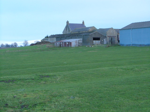
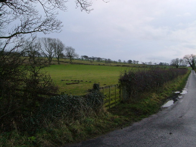
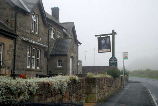
Shilbottle is a small village located in the county of Northumberland, in the northeast of England. Situated approximately 4 miles south of Alnwick, Shilbottle lies in a rural setting amidst picturesque countryside.
The village has a population of around 2,000 residents and is known for its tranquil and close-knit community. Shilbottle offers a range of amenities to its residents, including a primary school, a post office, a village hall, and a few local shops. Additionally, there are several pubs and eateries that provide a relaxed and friendly atmosphere for locals and visitors alike.
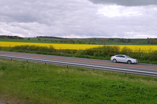
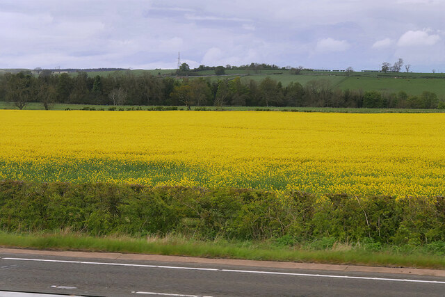
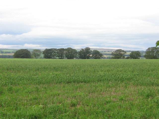
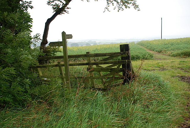
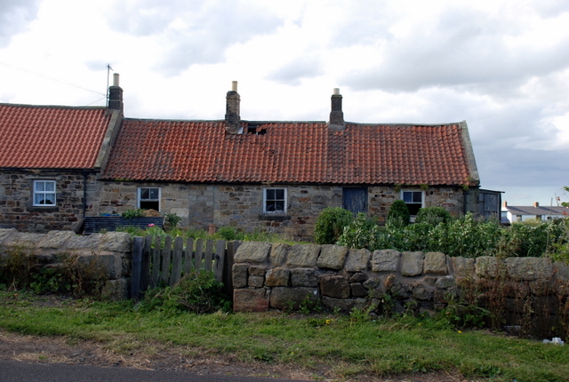
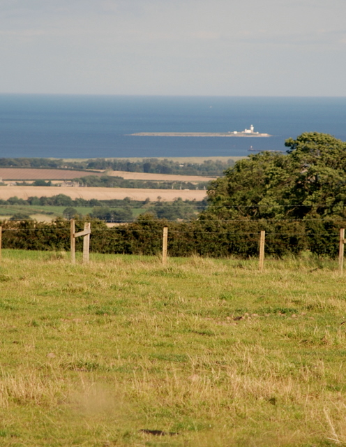
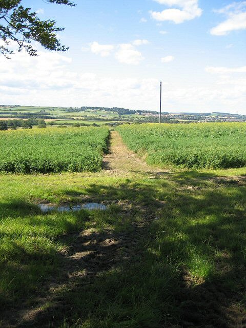
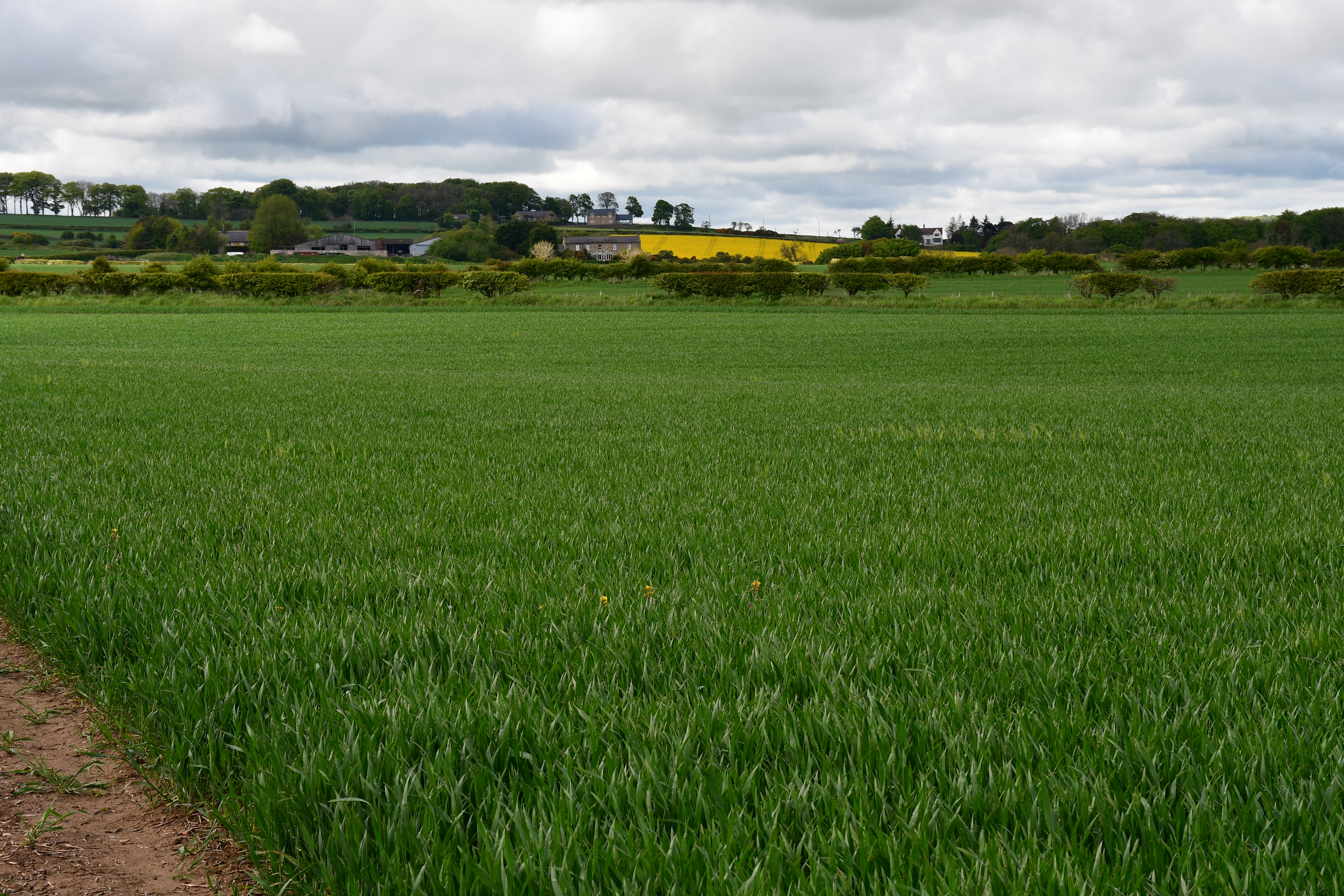
The surrounding landscape of Shilbottle is characterized by rolling hills, farmland, and woodland, making it an ideal location for outdoor enthusiasts. The village is situated near the coast, allowing residents to enjoy the stunning Northumberland coastline and its beautiful beaches.
Historically, Shilbottle has strong ties to agriculture and farming, with many residents working in these industries. However, the village has seen some diversification in recent years, with an increasing number of residents commuting to nearby towns and cities for employment.
Transport links in Shilbottle are relatively good, with regular bus services connecting the village to surrounding areas. The nearby A1 road provides easy access to cities such as Newcastle and Edinburgh.
Overall, Shilbottle offers a peaceful and idyllic setting for those seeking a rural lifestyle, while still providing convenient access to essential amenities and nearby attractions.
If you have any feedback on the listing, please let us know in the comments section below.
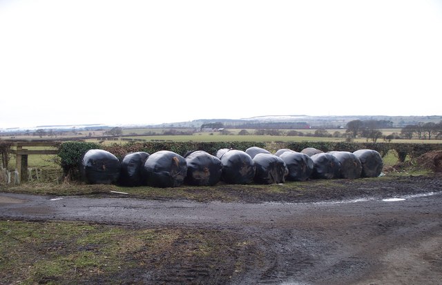
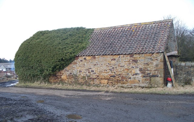
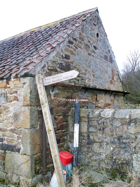
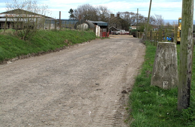
Shilbottle Images
Images are sourced within 2km of 55.371564/-1.692517 or Grid Reference NU1908. Thanks to Geograph Open Source API. All images are credited.

Shilbottle is located at Grid Ref: NU1908 (Lat: 55.371564, Lng: -1.692517)
Unitary Authority: Northumberland
Police Authority: Northumbria
What 3 Words
///laminate.heads.remarried. Near Shilbottle, Northumberland
Nearby Locations
Related Wikis

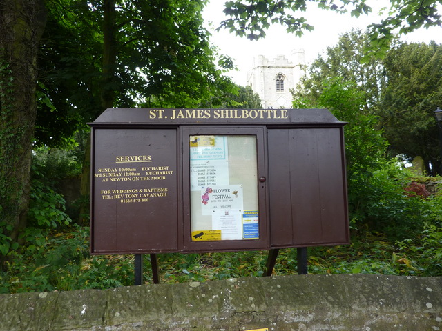
Shilbottle
Shilbottle is a village in Northumberland, north-east England, 3 miles (4.8 km) south-east of Alnwick, and 5 miles (8 km) from the coast at Alnmouth, close...

Bilton Banks, Northumberland
Bilton Banks was a village in Northumberland adjacent to the coal mines of Shilbottle and Longdyke. It was home to many miners’ families from the late...
The Duchess's Community High School
The Duchess's Community High School is a co-educational secondary school and sixth form located in Alnwick in the English county of Northumberland. It...
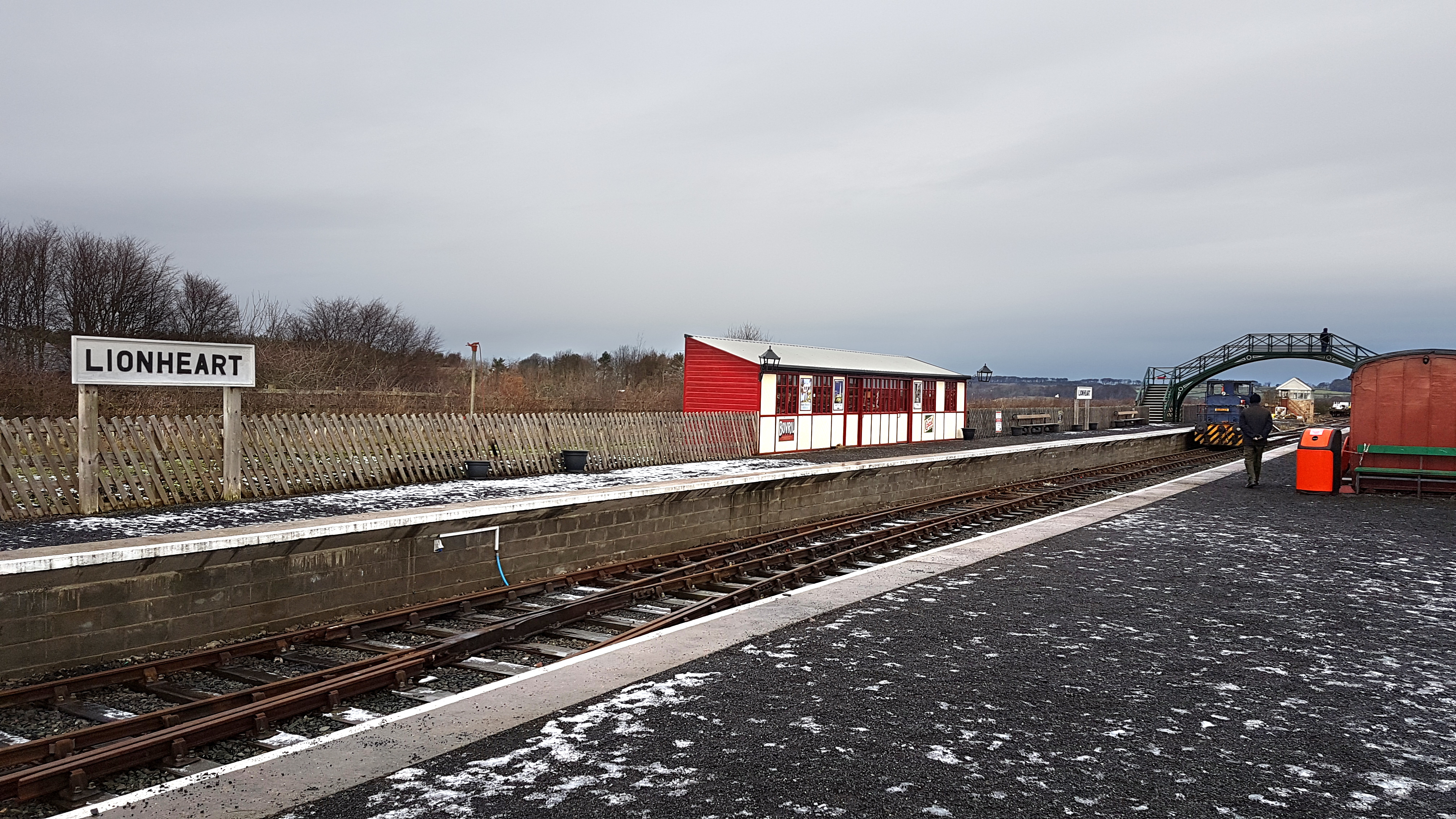
Alnwick Lionheart railway station
Alnwick Lionheart is a railway station situated on the edge of the Lionheart Enterprise Park on the outskirts of Alnwick, Northumberland. It is the western...
Bilton, Northumberland
Bilton is a hamlet in the civil parish of Lesbury, Northumberland, in England. It is situated near the River Aln, a short distance inland from the North...
Alnwick branch line
The Alnwick branch line is a partly closed railway line in Northumberland, northern England. A heritage railway currently operates a mile of the line,...
Alnwick Town A.F.C.
Alnwick Town Association Football Club is a football club based in Alnwick, Northumberland, England. They are currently members of the Northern Alliance...
High Buston
High Buston is a small hamlet and former civil parish, now in the parish of Alnmouth, in Northumberland, England, on Northumberland coast situated between...
Nearby Amenities
Located within 500m of 55.371564,-1.692517Have you been to Shilbottle?
Leave your review of Shilbottle below (or comments, questions and feedback).