Hillhead

Hill, Mountain in Northumberland

England

Hillhead

Road towards Shilbottle
Road towards Shilbottle Credit: David Dixon

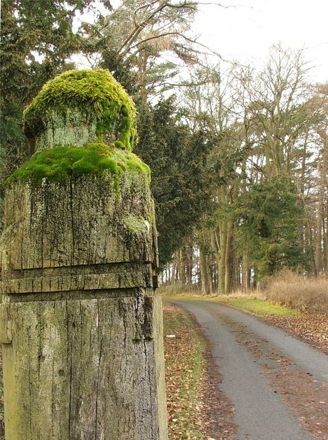
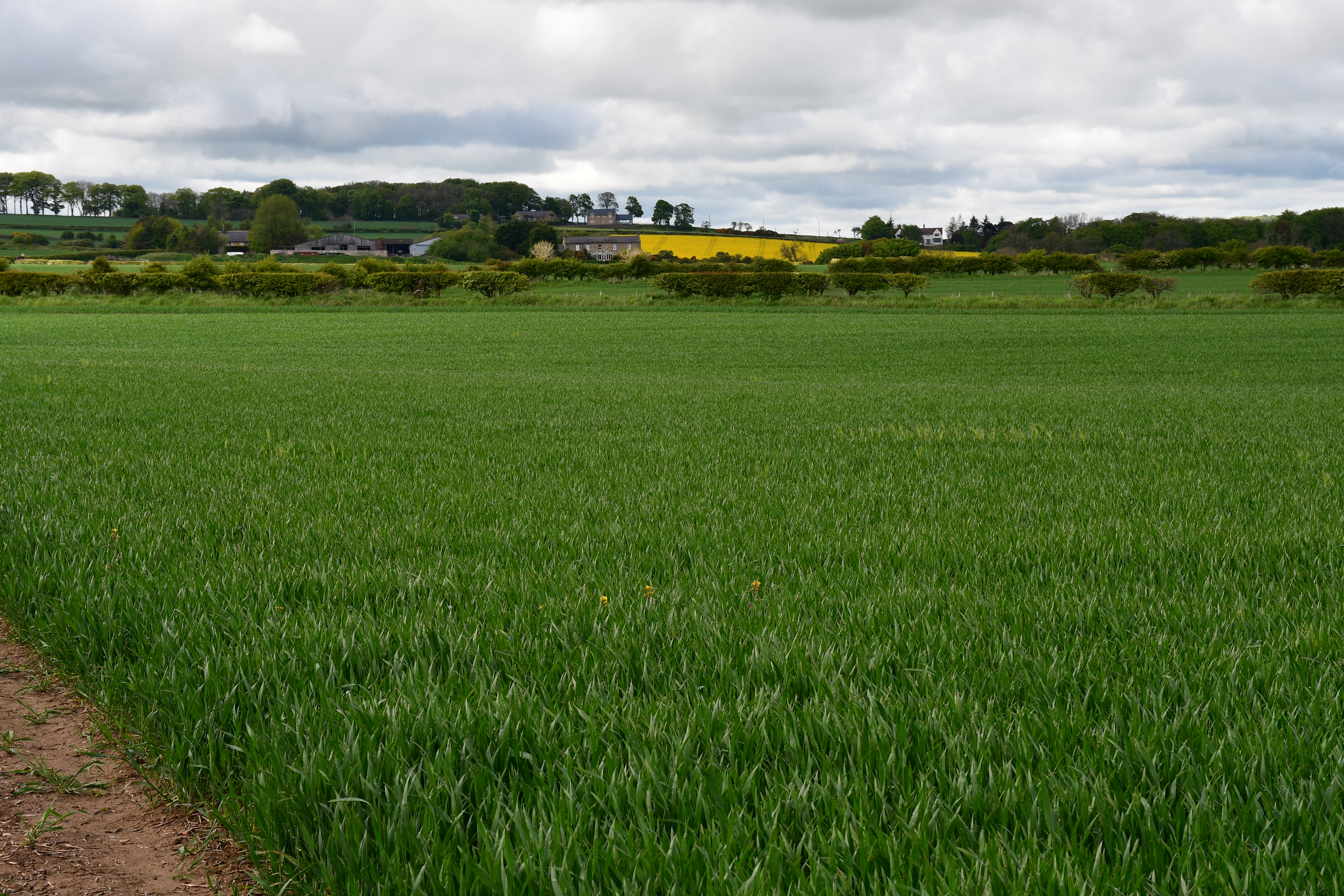
Hillhead, located in Northumberland, is a picturesque hill and mountainous area surrounded by natural beauty. Situated in the northern region of England, it offers breathtaking views and a tranquil atmosphere that attracts both locals and tourists alike.

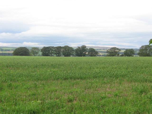
The hill itself stands at an elevation of approximately 500 meters, making it a prominent feature in the landscape. Its slopes are covered in lush greenery, with a variety of plant species that add to its charm. The summit of Hillhead provides a panoramic view of the surrounding countryside, offering glimpses of rolling hills, valleys, and the distant coastline.

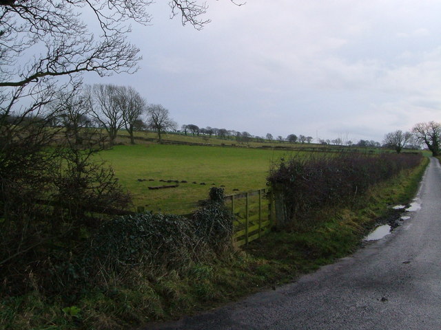
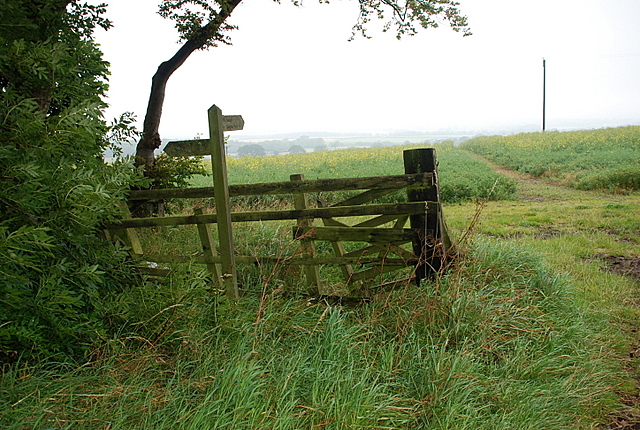
The area is a haven for outdoor enthusiasts, with numerous walking trails and hiking routes that cater to all levels of fitness and skill. Visitors can explore the hill's diverse wildlife, including various bird species, small mammals, and occasional sightings of deer. The peacefulness of the surroundings makes Hillhead an ideal location for birdwatching and nature photography.

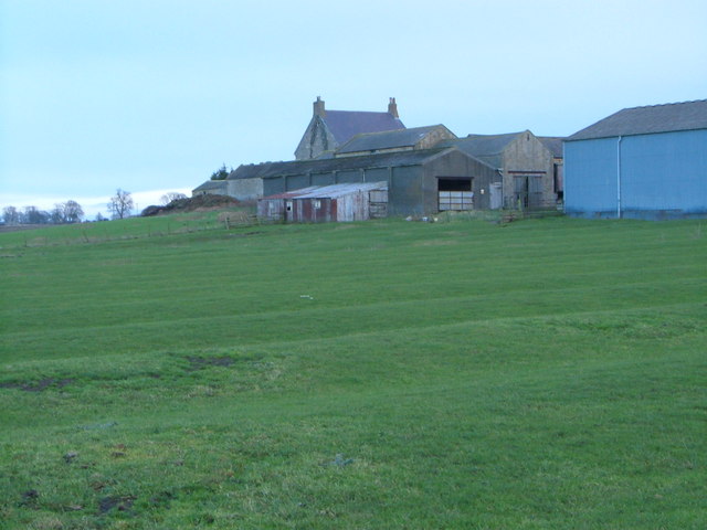
Additionally, Hillhead is home to a small community of residents who live in charming cottages scattered throughout the area. The village nearby offers basic amenities such as a local pub, a convenience store, and a post office, ensuring that visitors have access to essential services during their stay.

In summary, Hillhead, Northumberland, is a captivating hill and mountainous area that provides stunning views, abundant wildlife, and a peaceful retreat for nature enthusiasts. Whether it's a leisurely stroll or a challenging hike, the beauty of Hillhead's landscape is sure to leave a lasting impression on all who visit.

If you have any feedback on the listing, please let us know in the comments section below.
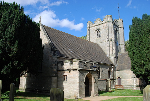
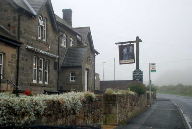
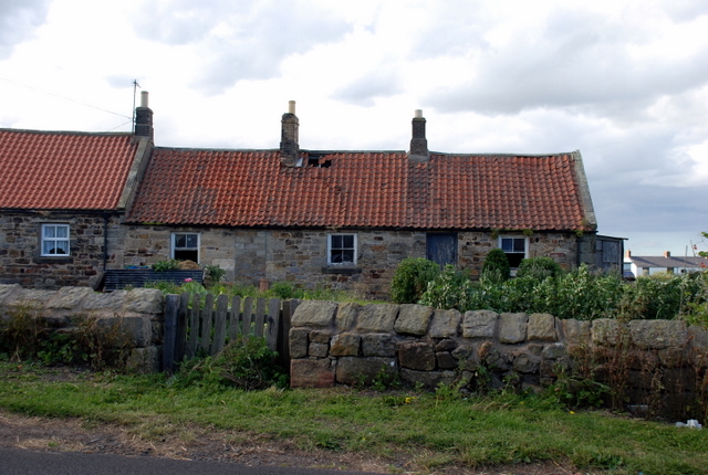
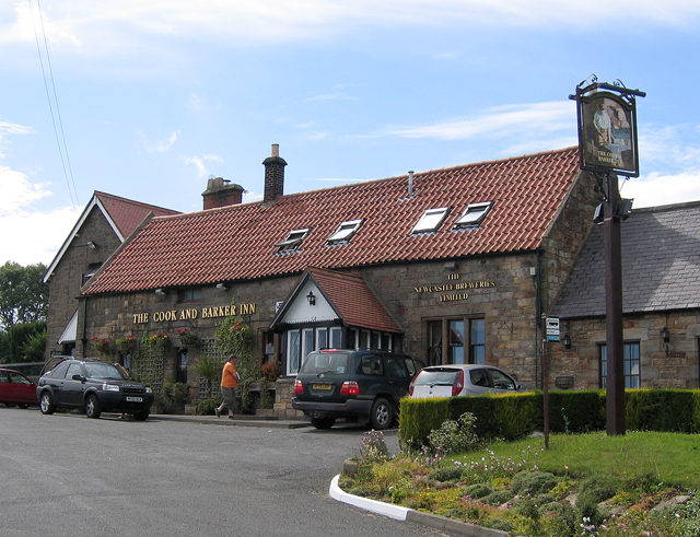
Hillhead Images

Images are sourced within 2km of 55.365884/-1.7002254 or Grid Reference NU1908. Thanks to Geograph Open Source API. All images are credited.

Road towards Shilbottle
Road Junction on the A1 near Shilbottle The road towards Whittingham.
Road Junction on the A1 near Shilbottle
The road towards Whittingham.
Public Weighbridge on the A1 near Shilbottle The A1 is the longest numbered road in the UK at 410 miles long. It connects London with Edinburgh, via the east of England. 
For much of its path it follows the Great North Road the old coaching route between London and Edinburgh. Several sections of the route are classified as motorway A1(M). The modern A1 bypasses the towns the Great North Road passed through and is dual carriageway for most of its route through England.
Public Weighbridge on the A1 near Shilbottle
The A1 is the longest numbered road in the UK at 410 miles long. It connects London with Edinburgh, via the east of England. For much of its path it follows the Great North Road the old coaching route between London and Edinburgh. Several sections of the route are classified as motorway A1(M). The modern A1 bypasses the towns the Great North Road passed through and is dual carriageway for most of its route through England.
Hampeth A row seen across arable land.
Hampeth
A row seen across arable land.
Yellow road, Whittle
Wheat field, Deanmoor
Deanmoor Heading south on the A1 (not driving)
Deanmoor
Heading south on the A1 (not driving)
Hazon High Houses The road in the foreground is the A1.  Photograph taken from Newton On The Moor.
Hazon High Houses
The road in the foreground is the A1. Photograph taken from Newton On The Moor.
Beacon Road, Hampeth Pit houses for the now redundant Whittle Colliery.
Beacon Road, Hampeth
Pit houses for the now redundant Whittle Colliery.
Shilbotel Church
Shilbotel Church
Beacon Hill Summit sown with wheat
Beacon Hill
Summit sown with wheat
Lane approaching A1 The lane from Rugley heads across flat land past wind-shaped trees to meet the A1 at Deansmoor.
Lane approaching A1
The lane from Rugley heads across flat land past wind-shaped trees to meet the A1 at Deansmoor.
Colliery Farm There were once six coal shafts operating in this area of Shilbottle, but the ridge and furrow field has survived any landscape changes. Taken from the bridleway from West Cawledge Park.
Colliery Farm
There were once six coal shafts operating in this area of Shilbottle, but the ridge and furrow field has survived any landscape changes. Taken from the bridleway from West Cawledge Park.
Field beside Deanmoor Road From the junction near Colliery Farm; the lane is heading to join the A1 at Deanmoor.
Field beside Deanmoor Road
From the junction near Colliery Farm; the lane is heading to join the A1 at Deanmoor.
Track through the oilseed rape field The track heads north to West Cawledge Park.
Track through the oilseed rape field
The track heads north to West Cawledge Park.
Shilbottle Church A view of the church from within the graveyard.
Shilbottle Church
A view of the church from within the graveyard.
The Farriers Arms Shilbottle's public house.
The Farriers Arms
Shilbottle's public house.
Agricultural workers cottages. These traditional cottages still show many of their original features.
Agricultural workers cottages.
These traditional cottages still show many of their original features.
Show me another place!

Hillhead is located at Grid Ref: NU1908 (Lat: 55.365884, Lng: -1.7002254)

Unitary Authority: Northumberland

Police Authority: Northumbria

What 3 Words

///vies.cabin.headache. Near Shilbottle, Northumberland

Related Wikis

Shilbottle

Shilbottle is a village in Northumberland, north-east England, 3 miles (4.8 km) south-east of Alnwick, and 5 miles (8 km) from the coast at Alnmouth, close...

Bilton Banks, Northumberland

Bilton Banks was a village in Northumberland adjacent to the coal mines of Shilbottle and Longdyke. It was home to many miners’ families from the late...

Newton on the Moor

Newton on the Moor is a village and former civil parish in Northumberland, England. It is located 5 miles (8 km) south of Alnwick, on the old route of...

The Duchess's Community High School

The Duchess's Community High School is a co-educational secondary school and sixth form located in Alnwick in the English county of Northumberland. It...

Newton Hall, Northumberland

Newton Hall is an 18th-century country house at Newton on the Moor, near Alnwick, Northumberland, England. It is a Grade II listed building. == History... ==

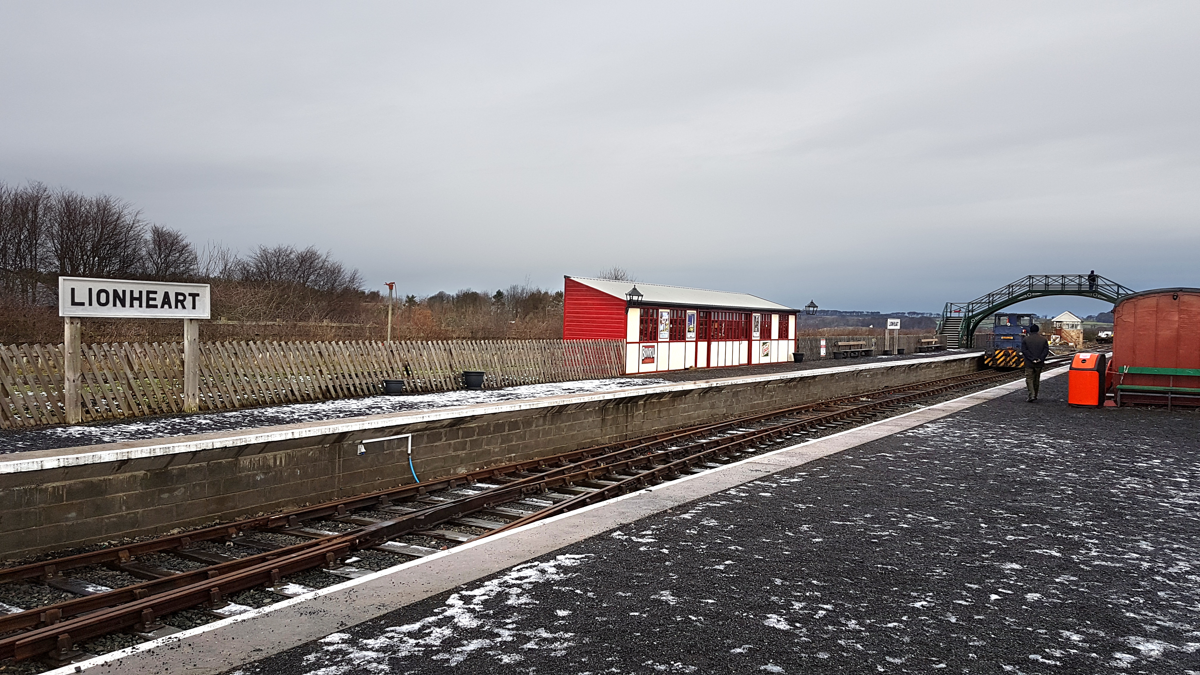
Alnwick Lionheart railway station

Alnwick Lionheart is a railway station situated on the edge of the Lionheart Enterprise Park on the outskirts of Alnwick, Northumberland. It is the western...

Alnwick Town A.F.C.

Alnwick Town Association Football Club is a football club based in Alnwick, Northumberland, England. They are currently members of the Northern Alliance...

Bilton, Northumberland

Bilton is a hamlet in the civil parish of Lesbury, Northumberland, in England. It is situated near the River Aln, a short distance inland from the North...

Nearby Amenities

Located within 500m of 55.365884,-1.7002254
Power: pole
Lat/Long: 55.3688078/-1.7033827
Power: pole
Source: Bing
Lat/Long: 55.363539/-1.7066125
Power: pole
Source: Bing
Lat/Long: 55.3675776/-1.7010701
Power: pole
Source: Bing
Lat/Long: 55.3642309/-1.7057702
Power: pole
Source: Bing
Lat/Long: 55.3663692/-1.7030898
Power: pole
Source: Bing
Lat/Long: 55.3649437/-1.7049402
Power: pole
Source: Bing
Lat/Long: 55.3686048/-1.7023012
Power: pole
Source: Bing
Lat/Long: 55.365653/-1.7040365
Man Made: tower
Tower Type: communication
Lat/Long: 55.3664581/-1.7003267
Power: pole
Lat/Long: 55.3670505/-1.7021691
Power: pole
Lat/Long: 55.3667821/-1.6982252
Power: pole
Lat/Long: 55.3678095/-1.6938069
Power: pole
Lat/Long: 55.3679766/-1.6983413
Power: pole
Lat/Long: 55.3679423/-1.6983451
Power: pole
Lat/Long: 55.3670314/-1.7004584
Power: pole
Lat/Long: 55.367295/-1.6982954
Power: pole
Lat/Long: 55.3678734/-1.6951857
Power: pole
Lat/Long: 55.3680301/-1.7000424
Power: pole
Lat/Long: 55.3665441/-1.6998671
Power: pole
Lat/Long: 55.3679141/-1.696779
Give Way
Direction: backward
Lat/Long: 55.3695658/-1.7002332
Direction: 230
Maxspeed: 30 mph
Traffic Sign: maxspeed
Lat/Long: 55.3692811/-1.700819
Direction: 50
Maxspeed: 60 mph
Traffic Sign: maxspeed
Lat/Long: 55.3692339/-1.7007532
The data included in this document is from www.openstreetmap.org. The data is made available under ODbL.

Have you been to Hillhead?

Leave your review of Hillhead below (or comments, questions and feedback).