Black Hill
Hill, Mountain in Shetland
Scotland
Black Hill
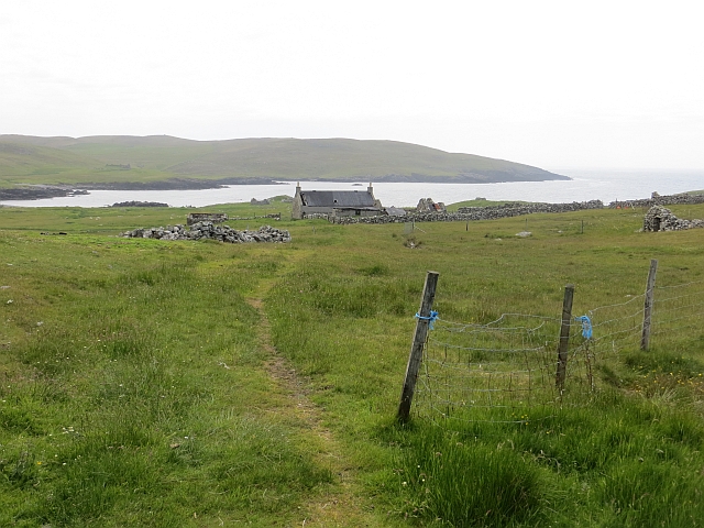
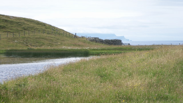
Black Hill is a prominent hill located on the island of Shetland, Scotland. Standing at an elevation of approximately 223 meters (732 feet), it is one of the highest points on the island. The hill is situated in the central part of Shetland, near the village of Scalloway.
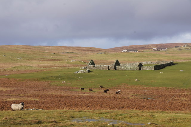
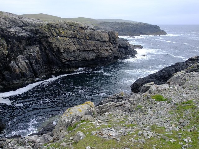
Black Hill is characterized by its distinctive dark-colored rock formations, which give it its name. The hill is primarily composed of basalt, a type of volcanic rock that is common in the region. The basalt gives the hill a rugged and dramatic appearance, with steep slopes and craggy cliffs.
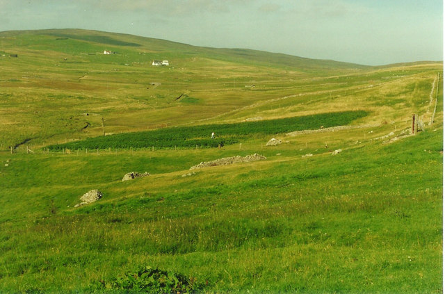
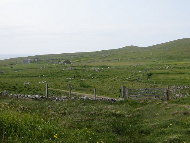
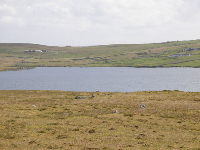
The summit of Black Hill offers breathtaking panoramic views of the surrounding landscape. On a clear day, visitors can see the rugged coastline, rolling green hills, and the sparkling waters of the North Sea. The hill is a popular destination for hikers and nature enthusiasts, who are attracted to its natural beauty and the opportunity to explore the diverse flora and fauna of the area.
Aside from its natural appeal, Black Hill also holds historical significance. The hill is home to several ancient archaeological sites, including burial mounds and chambered cairns, which provide evidence of human occupation dating back thousands of years. These sites offer valuable insights into the island's rich history and the lives of its early inhabitants.
Overall, Black Hill stands as a striking landmark in the Shetland landscape, offering both natural beauty and historical intrigue to those who venture to its summit.
If you have any feedback on the listing, please let us know in the comments section below.
Black Hill Images
Images are sourced within 2km of 60.23422/-1.6567677 or Grid Reference HU1950. Thanks to Geograph Open Source API. All images are credited.


Black Hill is located at Grid Ref: HU1950 (Lat: 60.23422, Lng: -1.6567677)
Unitary Authority: Shetland Islands
Police Authority: Highlands and Islands
What 3 Words
///juices.peach.overtime. Near Walls, Shetland Islands
Nearby Locations
Related Wikis

Burrastow
Burrastow is a location on the west shore of Vaila Sound near the village of Walls on the Shetland Mainland, Scotland. There are two small piers and the...

Walls, Shetland
Walls, known locally as Waas (Old Norse: Vagar = "Sheltered Bays" (voes) - the Ordnance Survey added the "ll" as they thought it was a corruption of "walls...

Linga, Vaila Sound
Linga is one of the Shetland Islands, near Vaila and Walls on Mainland, Shetland. Its highest elevation is 28 metres (91 ft). In 2014 and 2018 it was...
Vaila
Vaila (Old Norse: "Valey") is an island in Shetland, Scotland, lying south of the Westland peninsula of the Shetland Mainland. It has an area of 327 hectares...

Scord of Brouster
The Scord of Brouster is one of the earliest Neolithic farm sites in Shetland, Scotland. It has been dated to 2220 BC with a time window of 80 years on...

Sandness
Sandness (the "d" is not pronounced locally) is a headland and district in the west of Shetland Mainland, Scotland. Sandness was a civil parish, which...
Browland
Browland is a village on Mainland in Shetland, Scotland situated about 1.9 miles (3 km) east north east of Walls. Browland is within the parish of Sandsting...

Broch of Culswick
The Broch of Culswick (also Culswick Broch) is an unexcavated coastal broch in the Shetland Islands of Scotland (grid reference HU25384481). It has...
Have you been to Black Hill?
Leave your review of Black Hill below (or comments, questions and feedback).