Gravel Pit Hill
Hill, Mountain in Hampshire New Forest
England
Gravel Pit Hill
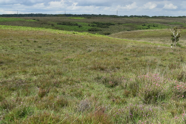
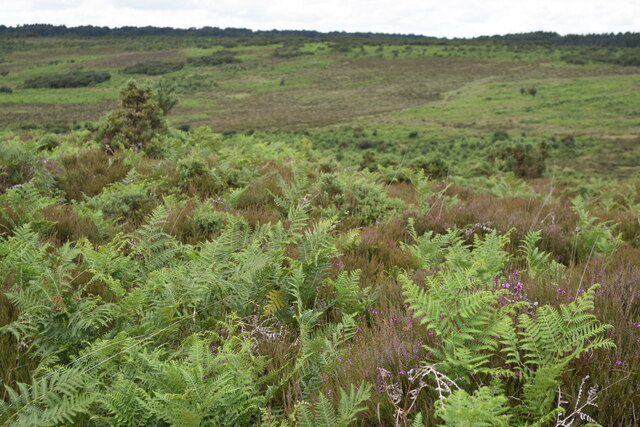
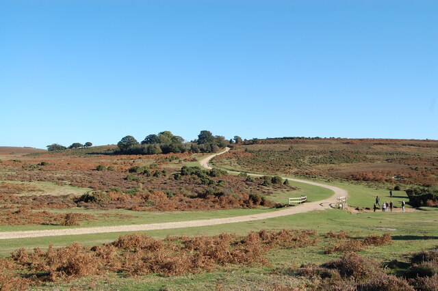
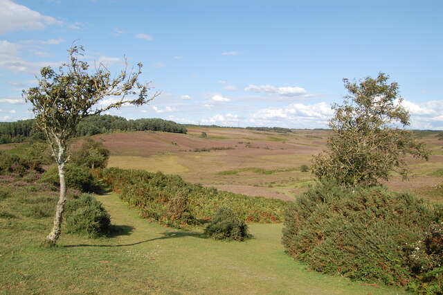
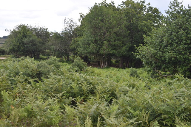
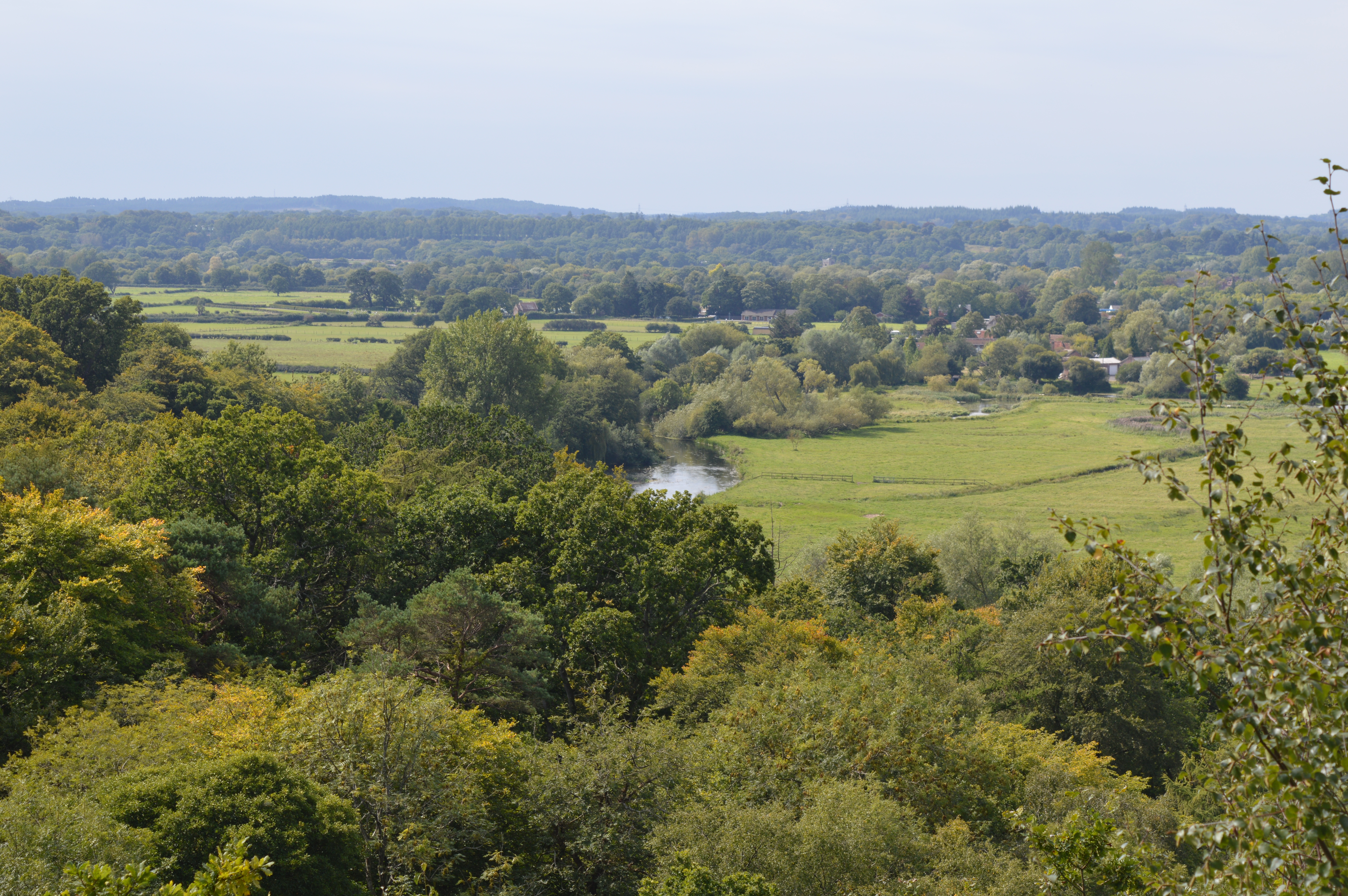
Gravel Pit Hill is a picturesque hill located in Hampshire, England. Situated in the South Downs National Park, it is a popular destination for outdoor enthusiasts and nature lovers. Despite its name, the hill is not actually a hill in the traditional sense, but rather a prominent ridge along the South Downs.
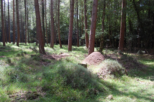
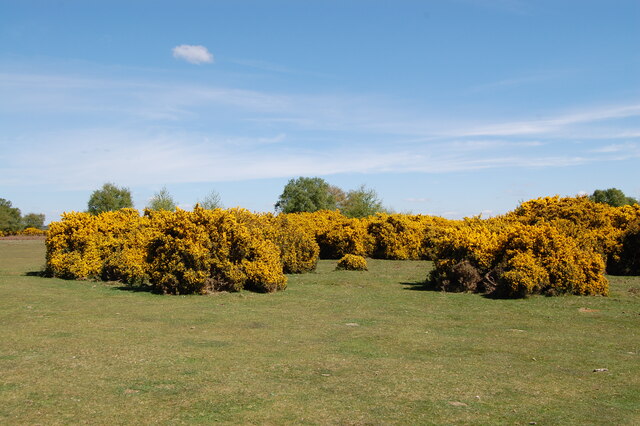
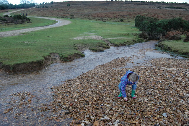
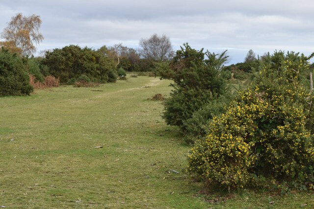
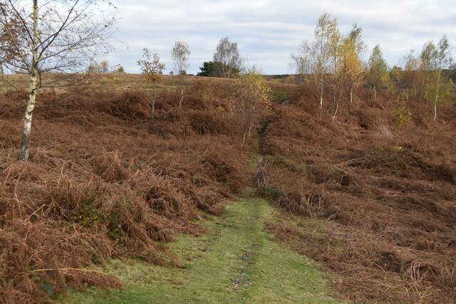
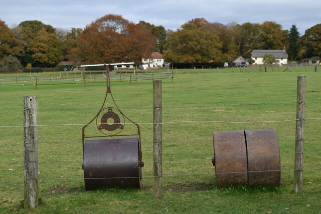
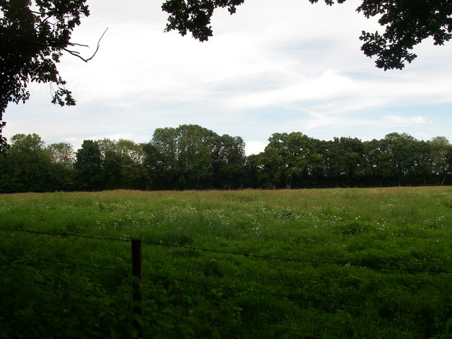
The hill gets its name from the gravel mines that operated here in the past. Today, the remnants of these mines can still be seen as small depressions scattered across the landscape. The surrounding area is predominantly rural, characterized by rolling hills, lush meadows, and woodlands.
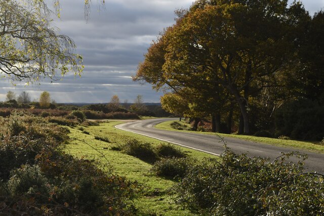
At an elevation of approximately 240 meters (790 feet), Gravel Pit Hill offers stunning panoramic views of the surrounding countryside. On a clear day, visitors can admire the patchwork of fields, hedgerows, and villages that stretch out below. The hill is also a great spot for birdwatching, with various species of birds including skylarks, kestrels, and yellowhammers frequently spotted in the area.
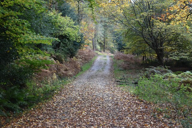
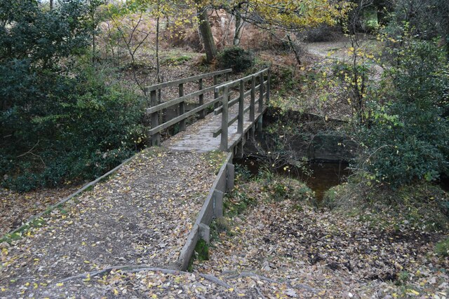
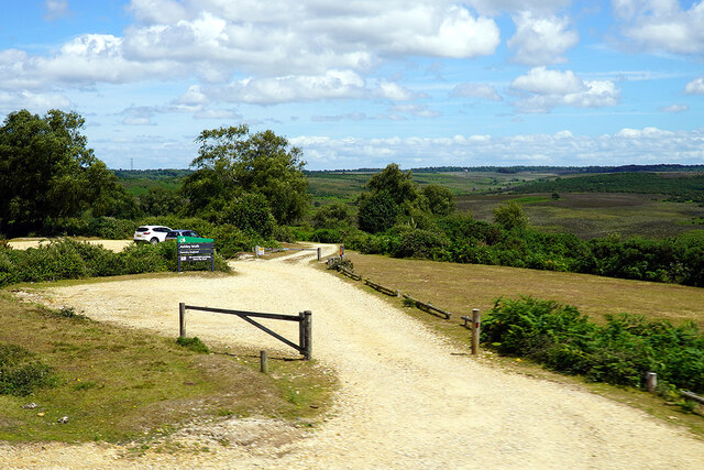
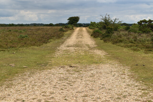
Gravel Pit Hill is easily accessible, with several footpaths and bridleways crisscrossing the area. These paths provide opportunities for hiking, walking, and cycling, allowing visitors to explore the beautiful landscape at their own pace. For those seeking a longer adventure, the hill is part of the South Downs Way, a long-distance trail that stretches for 160 kilometers (100 miles) across the South Downs.
Overall, Gravel Pit Hill offers a tranquil escape from the hustle and bustle of everyday life, providing visitors with the chance to immerse themselves in the beauty of Hampshire's countryside.
If you have any feedback on the listing, please let us know in the comments section below.
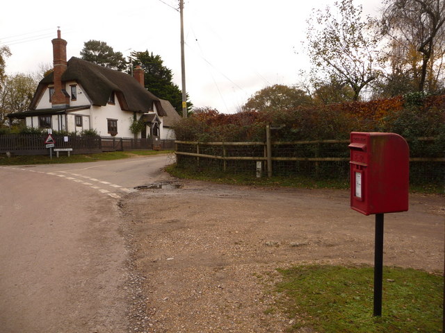
Gravel Pit Hill Images
Images are sourced within 2km of 50.947479/-1.7295889 or Grid Reference SU1916. Thanks to Geograph Open Source API. All images are credited.

Gravel Pit Hill is located at Grid Ref: SU1916 (Lat: 50.947479, Lng: -1.7295889)
Administrative County: Hampshire
District: New Forest
Police Authority: Hampshire
What 3 Words
///turkey.majoring.drifting. Near Fordingbridge, Hampshire
Nearby Locations
Related Wikis

Ashley Range
Ashley Range is a former World War II bombing range in the New Forest, Hampshire, England. The range is approximately 5 mi (8.0 km) north-west of Lyndhurst...

Woodgreen
Woodgreen is a village and civil parish within the New Forest district of Hampshire in England. == Overview == Woodgreen lies between Breamore and Hale...
Sandy Balls
Sandy Balls is 120 acres (0.49 km2) of woods and parkland near the New Forest in Hampshire, England. Located between the village of Godshill and the town...
Frankenbury Camp
Frankenbury Camp is the site of an Iron Age univallate hillfort located in Hampshire. The site is on a very slight promontory overlooking the Avon Valley...

Hale, Hampshire
Hale is a small village and civil parish in Hampshire, England. It lies on the border of the New Forest, overlooking the valley of the River Avon. The...

Godshill, Hampshire
Godshill is a village and civil parish and in New Forest National Park in Hampshire, England. It is about 1+1⁄2 miles (2.4 km) east of the town of Fordingbridge...
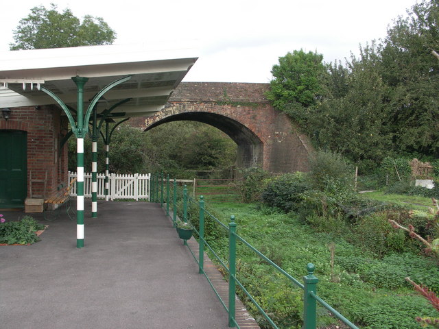
Breamore railway station
Breamore railway station was a railway station in the Avon Valley at the village of Breamore, Hampshire, England. The station was built for the Salisbury...
Blissford
Blissford is a hamlet in the civil parish of Hyde situated in the New Forest National Park in Hampshire, England. Its nearest town is Fordingbridge, which...
Related Videos

NEW FOREST WALK FROM THE HIGH CORNER INN TO GODSHILL VIA FROGHAM (A "PUB TO PUB" WALK)
In this episode of my series “New Forest Walks”, I take a walk from the High Corner Inn (near Linwood) to The Fighting Cocks pub ...
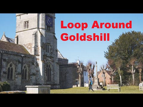
Loop around Godshill
This is a 10-mile walk looping around the New Forest Town of Godshill. It starts at Godshill Inclosure, coming out at the village of ...


Christmas at Undercastle Cottage
We always decorate the cottage for Christmas Holidays.
Nearby Amenities
Located within 500m of 50.947479,-1.7295889Have you been to Gravel Pit Hill?
Leave your review of Gravel Pit Hill below (or comments, questions and feedback).