Wood Hill

Hill, Mountain in Yorkshire Harrogate

England

Wood Hill

Old Milestone by Weston Lane, Otley Parish By the UC road, in parish of Otley (Leeds District), in wall of Weston Lane junction with Newall Avenue, and Newall Carr Road and Billams Hill, built into wall on corner.

Inscription reads:-
ASKWITH
3 Miles
{pointing hand}
WESTON
2 Miles

Surveyed

Milestone Society National ID: YW_XOTb.
Old Milestone by Weston Lane, Otley Parish Credit: John Phillip

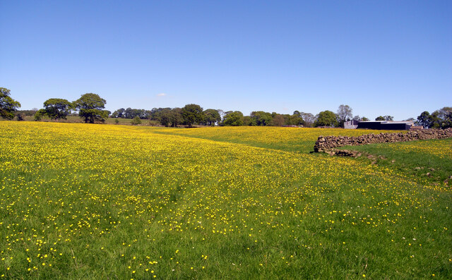
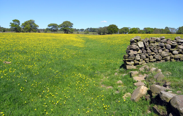
Wood Hill is a prominent landmark located in the county of Yorkshire, England. It is classified as a hill rather than a mountain due to its elevation, which reaches 279 meters (915 feet) above sea level. Situated near the village of Woodhill, the hill offers breathtaking panoramic views of the surrounding countryside, making it a popular destination for hikers, nature enthusiasts, and photographers.

The hill is covered in lush greenery, predominantly consisting of dense woodland, hence its name. The diverse flora and fauna found on Wood Hill contribute to its ecological importance within the region. It is home to a variety of plant species, including oak, birch, and coniferous trees, as well as various wildflowers that flourish during spring and summer.

At the summit of Wood Hill, visitors can appreciate stunning vistas of the Yorkshire Dales, providing a picturesque backdrop for outdoor activities. The hill is also intersected by several walking trails and footpaths, allowing visitors to explore its natural beauty at their own pace. Additionally, the area surrounding Wood Hill offers opportunities for birdwatching, as it attracts a wide range of avian species.

Aside from its natural charm, Wood Hill has historical significance as well. It is believed that the hill was a strategic lookout point during ancient times, offering a vantage point for observing any approaching threats. The remnants of an old fortification can still be seen on the hill, serving as a testament to its historical past.

Overall, Wood Hill in Yorkshire is a captivating destination that offers a blend of natural beauty, recreational opportunities, and historical interest.

If you have any feedback on the listing, please let us know in the comments section below.
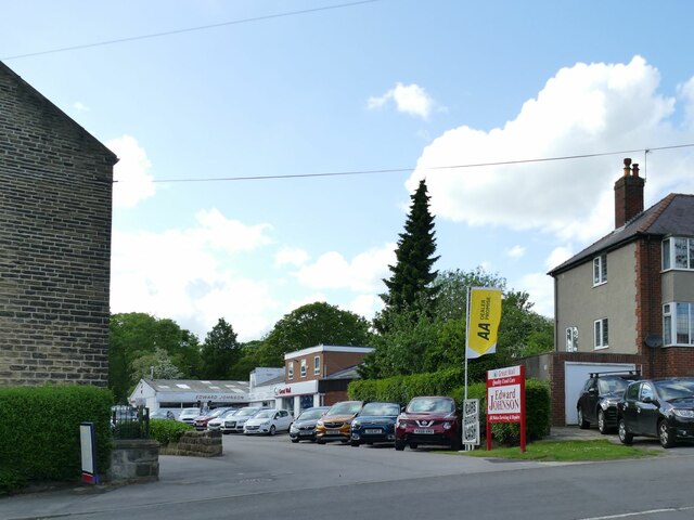
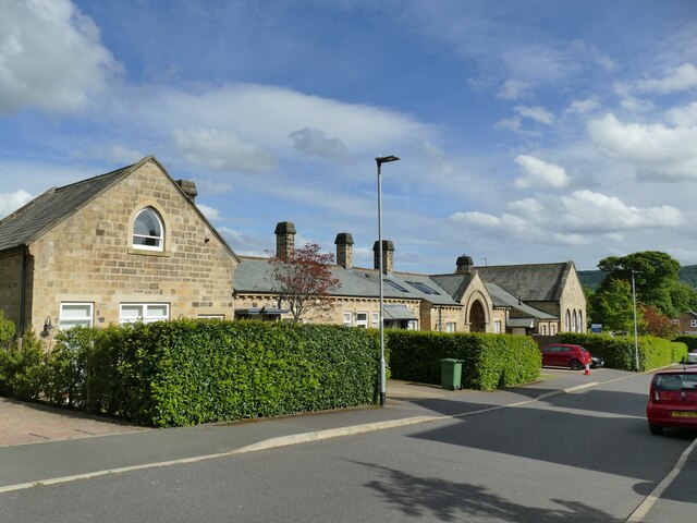
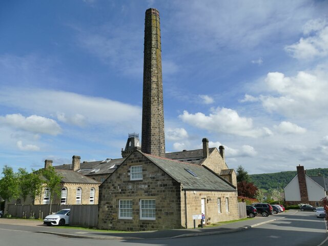
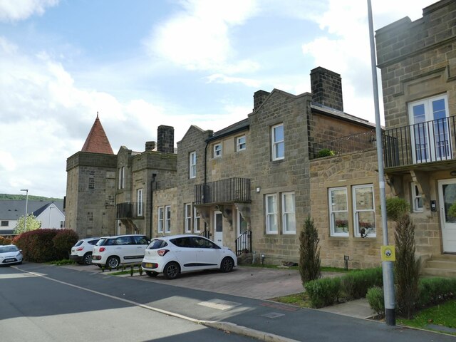
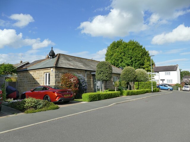
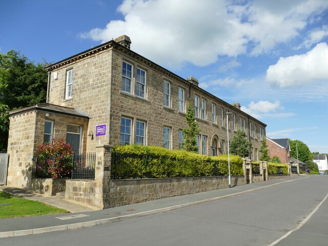
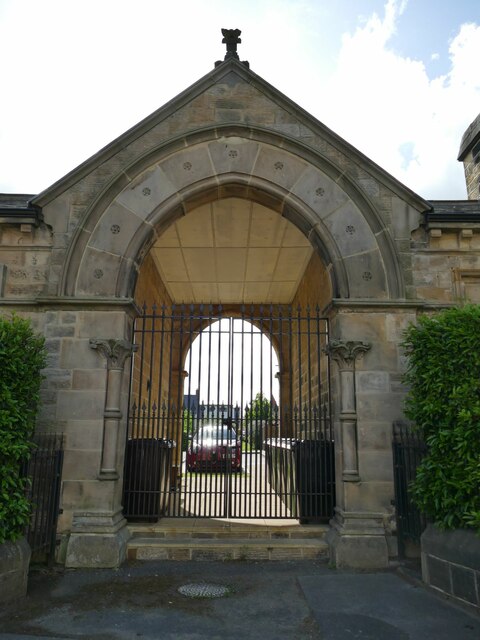
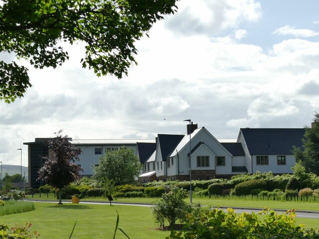
Wood Hill Images

Images are sourced within 2km of 53.925302/-1.7109219 or Grid Reference SE1947. Thanks to Geograph Open Source API. All images are credited.

Old Milestone by Weston Lane, Otley Parish By the UC road, in parish of Otley (Leeds District), in wall of Weston Lane junction with Newall Avenue, and Newall Carr Road and Billams Hill, built into wall on corner.

Inscription reads:-
ASKWITH
3 Miles
{pointing hand}
WESTON
2 Miles

Surveyed

Milestone Society National ID: YW_XOTb.
Old Milestone by Weston Lane, Otley Parish
By the UC road, in parish of Otley (Leeds District), in wall of Weston Lane junction with Newall Avenue, and Newall Carr Road and Billams Hill, built into wall on corner. Inscription reads:- ASKWITH 3 Miles {pointing hand} WESTON 2 Miles Surveyed Milestone Society National ID: YW_XOTb.
Buttercups, Covey Hall Farm, Weston
Clifton Lane, Clifton, Wharfedale
Old Boundary Marker on Dob Park Road Estate Boundary Marker on the east side of Dob Park Road just south of its junction with a green lane. On the boundary of Weston and Newell with Clifton parishes but the inscription refers to neither of these.

Milestone Society National ID: YW_WENECL01em
Old Boundary Marker on Dob Park Road
Estate Boundary Marker on the east side of Dob Park Road just south of its junction with a green lane. On the boundary of Weston and Newell with Clifton parishes but the inscription refers to neither of these. Milestone Society National ID: YW_WENECL01em
Askwith, Ibbotson Farm The benchmark is cut into the road facing farm building, and to the right of a blue painted barn door.
Askwith, Ibbotson Farm
The benchmark is cut into the road facing farm building, and to the right of a blue painted barn door.
Askwith, Ibbotson Farm There is a benchmark cut into the road facing farm building. It is located to the right of the blue painted barn door.
Askwith, Ibbotson Farm
There is a benchmark cut into the road facing farm building. It is located to the right of the blue painted barn door.
Edward Johnson Car Sales, Otley Off Newall Carr Road.
Edward Johnson Car Sales, Otley
Off Newall Carr Road.
Middleton Court, Otley One of the buildings of the former Wharfedale Hospital, now converted to housing; there is a new hospital nearby to replace it. This is the rear of the entrance block and casual wards of 1871-73, by local architects C S and A J Nelson for the Wharfedale Poor Law Union and now listed grade II (list entry 1268416).  <a href="https://www.geograph.org.uk/photo/3887053">SE1946 : Former Wharfedale Hospital & Union Workhouse - Newall Carr Road</a> shows the front.
Middleton Court, Otley
One of the buildings of the former Wharfedale Hospital, now converted to housing; there is a new hospital nearby to replace it. This is the rear of the entrance block and casual wards of 1871-73, by local architects C S and A J Nelson for the Wharfedale Poor Law Union and now listed grade II (list entry 1268416). SE1946 : Former Wharfedale Hospital & Union Workhouse - Newall Carr Road shows the front.
Wharfedale Drive, Otley The main building and chimney of the former Wharfedale Hospital (originally a workhouse), now converted to housing. Built 1871-73, by local architects C S and A J Nelson for the Wharfedale Poor Law Union and now listed grade II (list entry 1268414). There is a new hospital nearby to replace it.
Wharfedale Drive, Otley
The main building and chimney of the former Wharfedale Hospital (originally a workhouse), now converted to housing. Built 1871-73, by local architects C S and A J Nelson for the Wharfedale Poor Law Union and now listed grade II (list entry 1268414). There is a new hospital nearby to replace it.
Former hospital building, Wharfedale Drive, Otley The rear block of the former Wharfedale Hospital (originally a workhouse), now converted to housing. Built 1871-73, by local architects C S and A J Nelson for the Wharfedale Poor Law Union. There is a new hospital nearby to replace it.
Former hospital building, Wharfedale Drive, Otley
The rear block of the former Wharfedale Hospital (originally a workhouse), now converted to housing. Built 1871-73, by local architects C S and A J Nelson for the Wharfedale Poor Law Union. There is a new hospital nearby to replace it.
Former hospital mortuary, Wharfedale Drive, Otley The Wharfedale Hospital (originally a workhouse) was built 1871-73, by local architects C S and A J Nelson for the Wharfedale Poor Law Union. There is a new hospital nearby to replace it. The buildings are now converted to housing and it was a resident who told us this had been the mortuary.
Former hospital mortuary, Wharfedale Drive, Otley
The Wharfedale Hospital (originally a workhouse) was built 1871-73, by local architects C S and A J Nelson for the Wharfedale Poor Law Union. There is a new hospital nearby to replace it. The buildings are now converted to housing and it was a resident who told us this had been the mortuary.
Former infirmary, Wharfedale Drive, Otley This was the infirmary block of the Wharfedale Hospital (originally a workhouse) built 1871-73, by local architects C S and A J Nelson for the Wharfedale Poor Law Union. There is a new hospital nearby to replace it. The buildings are now converted to housing. This one is listed grade II (list entry 1268415).
Former infirmary, Wharfedale Drive, Otley
This was the infirmary block of the Wharfedale Hospital (originally a workhouse) built 1871-73, by local architects C S and A J Nelson for the Wharfedale Poor Law Union. There is a new hospital nearby to replace it. The buildings are now converted to housing. This one is listed grade II (list entry 1268415).
Former hospital entrance, Newall Carr Road, Otley This was the entrance to the Wharfedale Hospital (originally a workhouse) built 1871-73, by local architects C S and A J Nelson for the Wharfedale Poor Law Union. There is a new hospital nearby to replace it. The buildings are now converted to housing. This is part of the entrance block, listed grade II (list entry 1268416).
Former hospital entrance, Newall Carr Road, Otley
This was the entrance to the Wharfedale Hospital (originally a workhouse) built 1871-73, by local architects C S and A J Nelson for the Wharfedale Poor Law Union. There is a new hospital nearby to replace it. The buildings are now converted to housing. This is part of the entrance block, listed grade II (list entry 1268416).
Otley, Dob Park The benchmark is cut into a boulder at the start of a treeline within a small woodland on the east of the road.
Otley, Dob Park
The benchmark is cut into a boulder at the start of a treeline within a small woodland on the east of the road.
Otley, woodland on Dob Park Road There is a benchmark cut into a boulder at the start of a treeline within a small woodland on the east of the road.
Otley, woodland on Dob Park Road
There is a benchmark cut into a boulder at the start of a treeline within a small woodland on the east of the road.
Wharfedale Hospital, Otley The old hospital buildings nearby have been converted to housing following the construction of this replacement facility, opened in 2004 and seen here from the main road.
Wharfedale Hospital, Otley
The old hospital buildings nearby have been converted to housing following the construction of this replacement facility, opened in 2004 and seen here from the main road.
The Yew Tree, Otley A pub on Newall Carr Road, which became a Tetley's pub in 1974. The interior in a traditional style earns it a place in CAMRA's regional listing.

The building is also listed by Historic England (Grade II, entry 1200479). According to the listing, it was originally called Yew Tree Cottage and described as an 18th century block of cottages, 'now partly demolished and much altered'. This is slightly at odds with CAMRA's description that describes it as a former farmhouse.  

The Union flag was flying for the forthcoming Platinum Jubilee.
The Yew Tree, Otley
A pub on Newall Carr Road, which became a Tetley's pub in 1974. The interior in a traditional style earns it a place in CAMRA's regional listing. The building is also listed by Historic England (Grade II, entry 1200479). According to the listing, it was originally called Yew Tree Cottage and described as an 18th century block of cottages, 'now partly demolished and much altered'. This is slightly at odds with CAMRA's description that describes it as a former farmhouse. The Union flag was flying for the forthcoming Platinum Jubilee.
Show me another place!

Wood Hill is located at Grid Ref: SE1947 (Lat: 53.925302, Lng: -1.7109219)

Division: West Riding

Administrative County: North Yorkshire

District: Harrogate

Police Authority: North Yorkshire

What 3 Words

///brimmed.expectant.nests. Near Otley, West Yorkshire

Related Wikis

Newall with Clifton

Newall with Clifton (historically also spelt Newell with Clifton) is a civil parish in North Yorkshire, England. It lies two miles north of Otley in West...

Weston, North Yorkshire

Weston is a village and civil parish in the former Harrogate district of North Yorkshire, England. The village is 1.2 miles (2 km) north–west of Otley...

Wharfedale Hospital

Wharfedale Hospital (formerly known as Wharfedale General Hospital) is located in the market town of Otley, West Yorkshire, England, and is managed by...

Newall, West Yorkshire

Newall (historically also spelt Newell) is an area of Otley in West Yorkshire, England. It lies on the north bank of the River Wharfe, across Otley Bridge...

Nearby Amenities

Located within 500m of 53.925302,-1.7109219
Low Laith
Archaeological Site: building
Building Historic: barn
Historic: archaeological_site
Source: OS 1:25k;Bing
Lat/Long: 53.9236677/-1.7152224
The Brow
Place: locality
Source: OS 1:25k
Lat/Long: 53.925563/-1.7106197
Natural: spring
Source: OS 1:25k
Lat/Long: 53.9280089/-1.7052144
Wood Hill
Natural: peak
Source: OS 1:25k
Lat/Long: 53.9225179/-1.7136024
Natural: spring
Source: OS 187,publ 1851
Lat/Long: 53.9215793/-1.7135744
lime kiln
Archaeological Site: lime_kiln
Description: There are no limestone outcrops near here. So, this is either built on a limestone glacial morrin or bracken was used as feedstock.
Historic: archaeological_site
Output: lime
Source: OS 187,publ 1851
Lat/Long: 53.9223501/-1.7142825
Natural: spring
Source: OS 187,publ 1851
Lat/Long: 53.9221473/-1.710227
Man Made: survey_point
Source: OS 187,publ 1851
Lat/Long: 53.9251678/-1.7124157
Information: guidepost
Tourism: information
Lat/Long: 53.9265744/-1.7091375
Waste Basket
Waste: dog_excrement
Lat/Long: 53.9265721/-1.7091309
Joes Well
Natural: spring
Source: OS sheet 170, publ 1851
Lat/Long: 53.9291588/-1.7107188
Barrier: stile
Material: stone
Stile: stepover
Lat/Long: 53.9258889/-1.7082671
Designation: public_footpath
Information: route_marker
Inscription: Public Footpath | Welcome Way
Tourism: information
Lat/Long: 53.9258908/-1.7082804
Designation: public_footpath
Information: route_marker
Inscription: Public Footpath | Welcome Way
Tourism: information
Lat/Long: 53.9265729/-1.7091334
The data included in this document is from www.openstreetmap.org. The data is made available under ODbL.

Have you been to Wood Hill?

Leave your review of Wood Hill below (or comments, questions and feedback).