Shilbottle Grange
Settlement in Northumberland
England
Shilbottle Grange
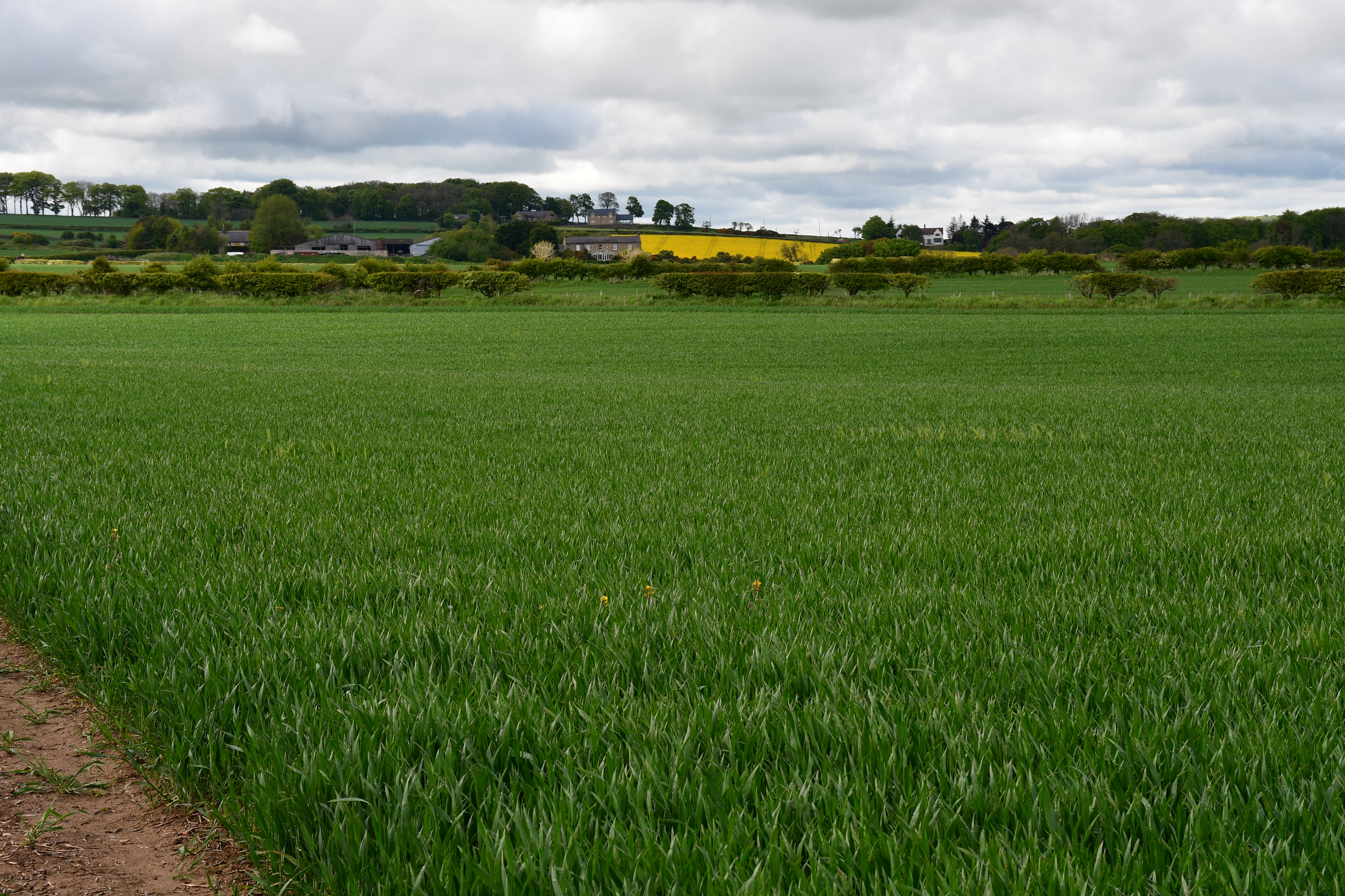
Shilbottle Grange is a small village located in the county of Northumberland, in the northeast region of England. Situated approximately 4 miles southwest of the market town of Alnwick, the village is nestled amidst picturesque countryside, offering a tranquil and scenic setting.
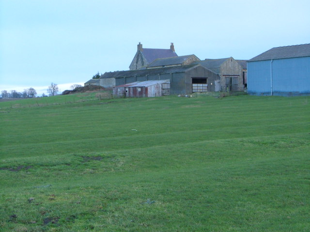
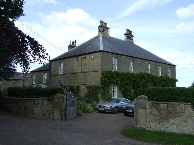
The village is best known for its historic manor house, Shilbottle Grange, which dates back to the 18th century. The Grade II listed building showcases the architectural style of the era, with its elegant Georgian design and stunning grounds. The manor house was once the residence of notable families and has now been converted into residential apartments, adding a touch of grandeur to the village.
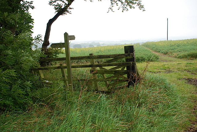
Shilbottle Grange is a close-knit community, with a population of around 1,000 residents. The village offers a range of amenities, including a primary school, a village hall, and a local pub. The surrounding countryside provides ample opportunities for outdoor activities such as hiking, cycling, and exploring the nearby Northumberland National Park.
The village benefits from its proximity to Alnwick, which offers a wider range of amenities including supermarkets, shops, and restaurants. Alnwick Castle and The Alnwick Garden are also popular attractions in the area, drawing tourists from far and wide.
Overall, Shilbottle Grange is a charming village with a rich history and a peaceful atmosphere. Its picturesque location and community spirit make it an appealing place to live for those seeking a quiet rural lifestyle in Northumberland.
If you have any feedback on the listing, please let us know in the comments section below.
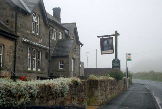
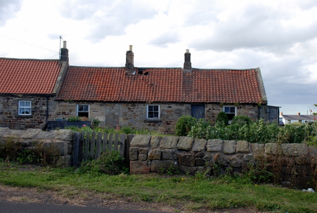
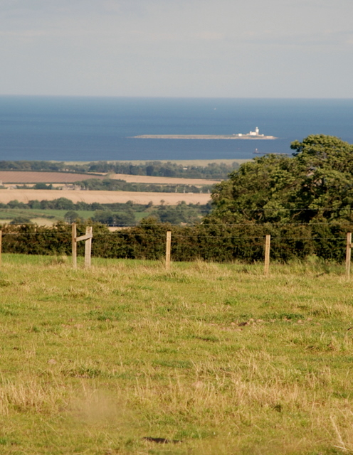
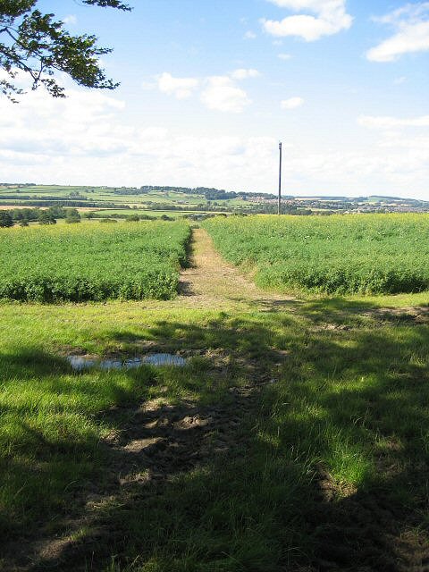
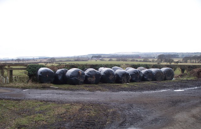
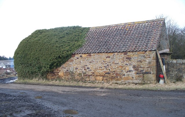
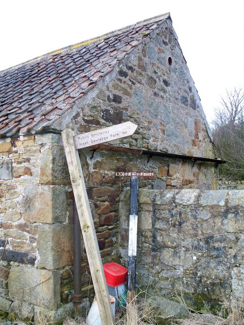
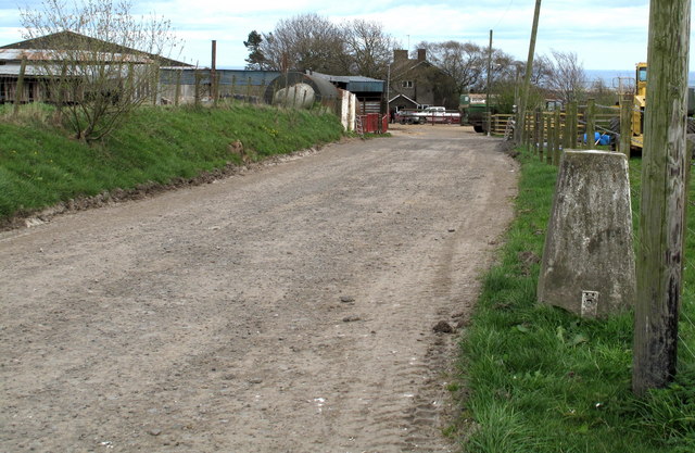
Shilbottle Grange Images
Images are sourced within 2km of 55.370094/-1.676514 or Grid Reference NU2008. Thanks to Geograph Open Source API. All images are credited.


Shilbottle Grange is located at Grid Ref: NU2008 (Lat: 55.370094, Lng: -1.676514)
Unitary Authority: Northumberland
Police Authority: Northumbria
What 3 Words
///recliner.vehicle.nanny. Near Shilbottle, Northumberland
Nearby Locations
Related Wikis

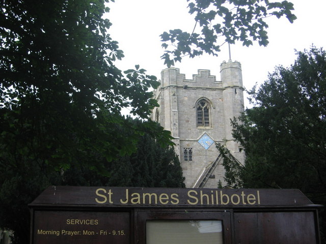
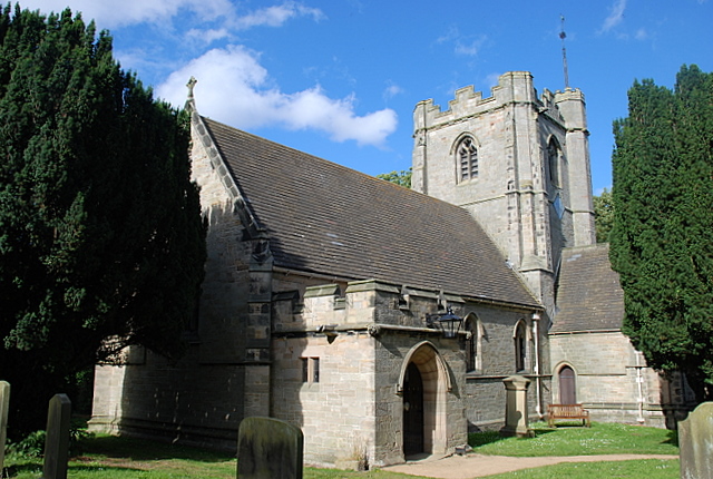
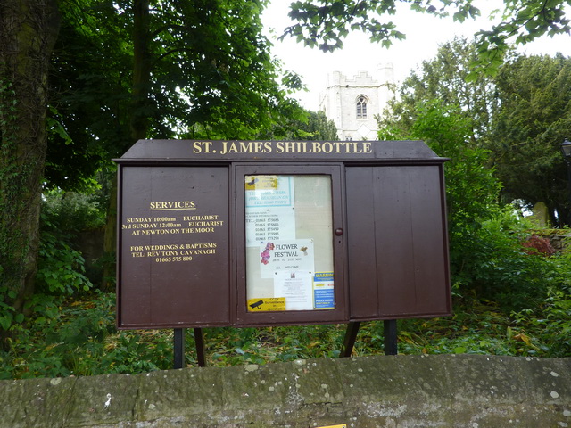
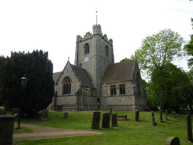
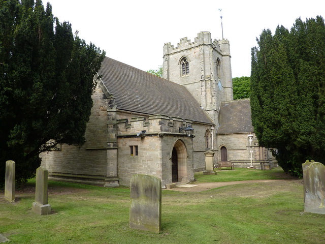
Shilbottle
Shilbottle is a village in Northumberland, north-east England, 3 miles (4.8 km) south-east of Alnwick, and 5 miles (8 km) from the coast at Alnmouth, close...

Bilton Banks, Northumberland
Bilton Banks was a village in Northumberland adjacent to the coal mines of Shilbottle and Longdyke. It was home to many miners’ families from the late...
Bilton, Northumberland
Bilton is a hamlet in the civil parish of Lesbury, Northumberland, in England. It is situated near the River Aln, a short distance inland from the North...
High Buston
High Buston is a small hamlet and former civil parish, now in the parish of Alnmouth, in Northumberland, England, on Northumberland coast situated between...

Warkworth railway station
Warkworth railway station served the village of Warkworth, Northumberland, England, from 1847 to 1962 on the East Coast Main Line. == History == The station...
Alnwick branch line
The Alnwick branch line is a partly closed railway line in Northumberland, northern England. A heritage railway currently operates a mile of the line,...

Alnmouth railway station
Alnmouth (also known as Alnmouth for Alnwick) is a railway station on the East Coast Main Line, which runs between London King's Cross and Edinburgh Waverley...
The Duchess's Community High School
The Duchess's Community High School is a co-educational secondary school and sixth form located in Alnwick in the English county of Northumberland. It...
Nearby Amenities
Located within 500m of 55.370094,-1.676514Have you been to Shilbottle Grange?
Leave your review of Shilbottle Grange below (or comments, questions and feedback).