Shelley Woodhouse
Settlement in Yorkshire
England
Shelley Woodhouse
Shelley Woodhouse is a charming village located in the county of Yorkshire, England. Situated in the picturesque Kirklees district, it is nestled amidst the rolling hills and lush green landscapes that Yorkshire is renowned for. The village is part of the larger township of Shelley, which includes neighboring areas such as Skelmanthorpe and Cumberworth.
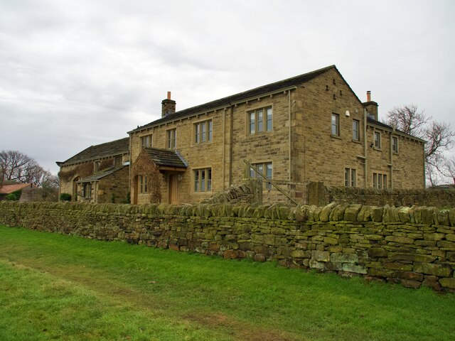
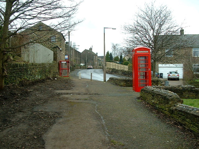
Known for its tranquil and idyllic setting, Shelley Woodhouse offers a peaceful retreat from the hustle and bustle of city life. The village is characterized by its quaint stone cottages, well-maintained gardens, and a sense of community that is deeply ingrained in its residents. The local architecture reflects the traditional Yorkshire style, with many buildings dating back several centuries.
Despite its small size, Shelley Woodhouse boasts a range of amenities to cater to its residents' needs. These include a local pub, a village hall, and a small convenience store. The village also has a primary school, ensuring that the younger generation has access to quality education within their immediate surroundings.
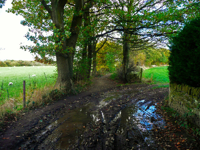
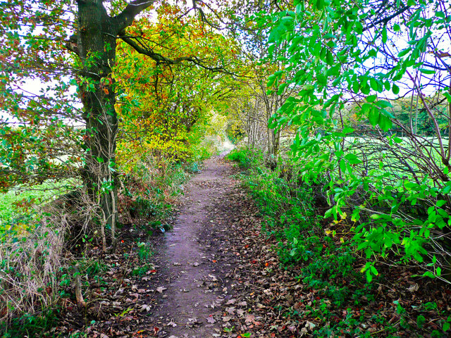
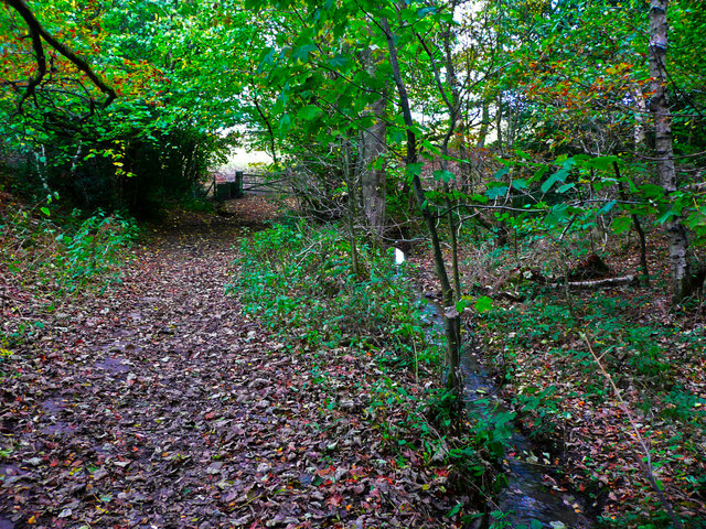
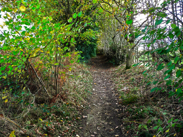
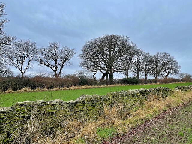
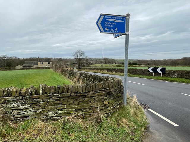
Surrounded by stunning natural beauty, Shelley Woodhouse is a haven for outdoor enthusiasts. The nearby countryside offers ample opportunities for scenic walks, cycling, and horse riding. The village is also conveniently located within a short drive of larger towns and cities, such as Huddersfield and Wakefield, providing easy access to a wider range of amenities and cultural activities.
In summary, Shelley Woodhouse is a charming village located in the heart of Yorkshire, offering a tranquil and close-knit community, beautiful surroundings, and convenient access to both rural and urban attractions.
If you have any feedback on the listing, please let us know in the comments section below.
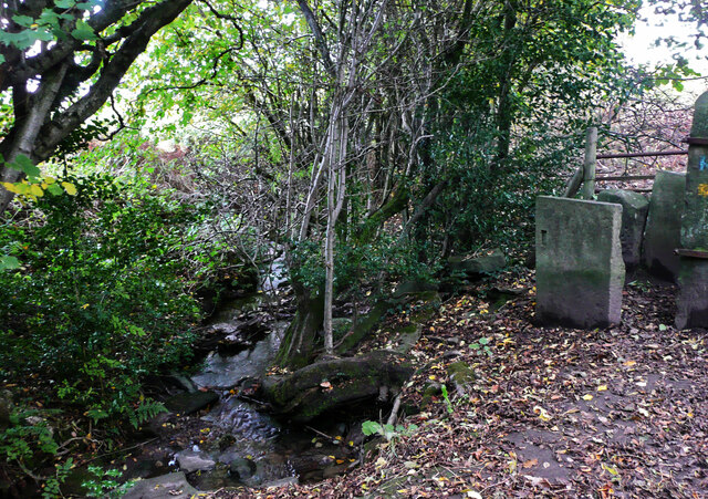
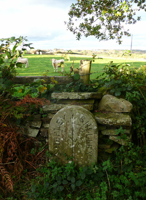
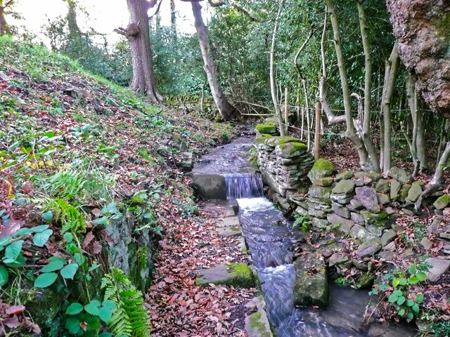
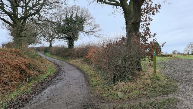
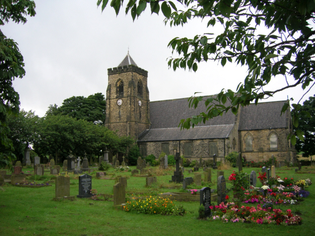
Shelley Woodhouse Images
Images are sourced within 2km of 53.594667/-1.671343 or Grid Reference SE2110. Thanks to Geograph Open Source API. All images are credited.
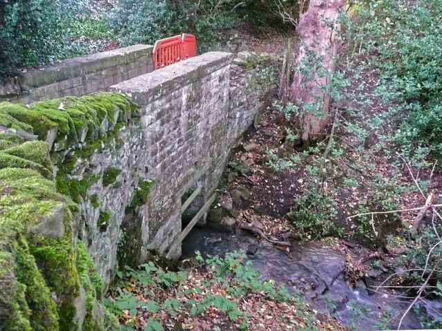
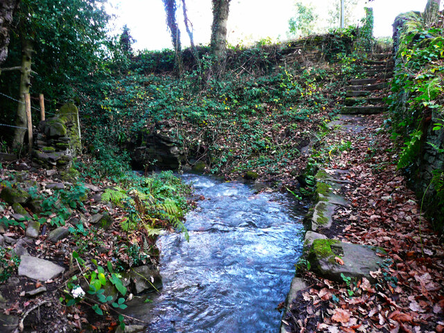
![Temporary fence on footbridge on High Moor Lane, Shepley In 2015 the wall had lost some capstones but was otherwise sound, see <a href="https://www.geograph.org.uk/photo/7011863">SE2009 : Footbridge on High Moor Lane, Shelley</a>], so I suspect vandalism.](https://s2.geograph.org.uk/geophotos/07/01/18/7011874_243d0327.jpg)
Shelley Woodhouse is located at Grid Ref: SE2110 (Lat: 53.594667, Lng: -1.671343)
Division: West Riding
Unitary Authority: Kirklees
Police Authority: West Yorkshire
What 3 Words
///voice.radar.brew. Near Shelley, West Yorkshire
Nearby Locations
Related Wikis

Shelley College
Shelley College (formerly known as Shelley High School) is a coeducational upper school and sixth form on the border between the villages of Shelley and...
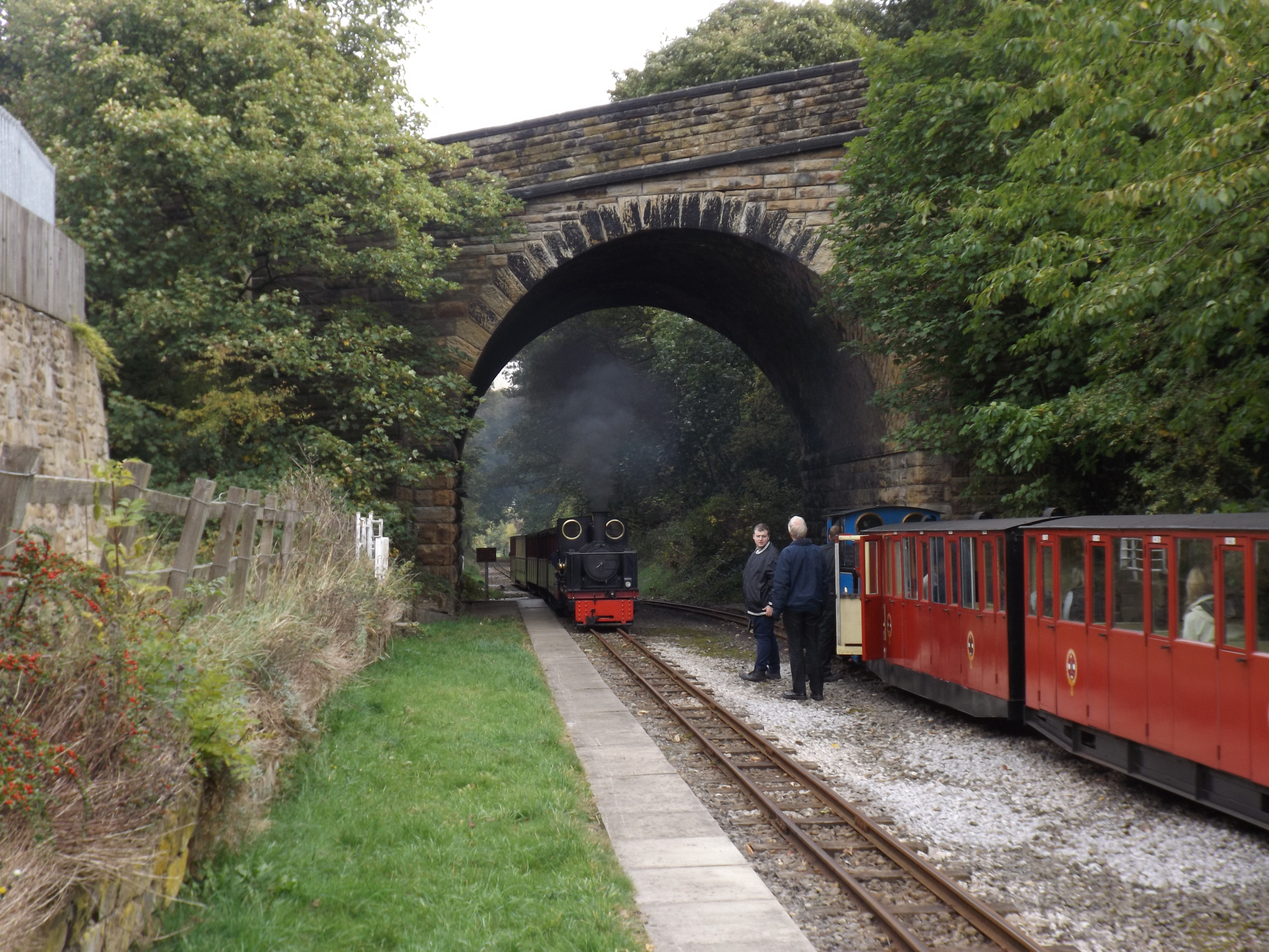
Skelmanthorpe railway station
Skelmanthorpe railway station is a station in West Yorkshire, England, that was previously part of the national rail network, and is now a station on the...
Shelley, West Yorkshire
Shelley is a village in the civil parish of Kirkburton, in the Kirklees district, in the county of West Yorkshire, England. The village is 3 miles (5 km...

Shelley railway station
Shelley railway station forms the western terminus of the Whistlestop Valley and serves the village of Shelley, West Yorkshire. England. There was never...

Roydhouse
Roydhouse is a hamlet in the civil parish of Kirkburton, in Kirklees, West Yorkshire, England. Roydhouse was recorded as "le Roides". It has a public house...
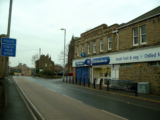
Skelmanthorpe
Skelmanthorpe is a village in the Denby Dale civil parish, in the metropolitan borough of Kirklees, in West Yorkshire, England. It is 8 miles (13 km)...
Lower Cumberworth
Lower Cumberworth is a village in the borough of Kirklees, West Yorkshire, England. The village is situated 8 miles (13 km) to the south-east of Huddersfield...

Emley Moor transmitting station
The Emley Moor transmitting station is a telecommunications and broadcasting facility on Emley Moor, 1 mile (1.6 km) west of the village centre of Emley...
Nearby Amenities
Located within 500m of 53.594667,-1.671343Have you been to Shelley Woodhouse?
Leave your review of Shelley Woodhouse below (or comments, questions and feedback).