Shellingford
Settlement in Berkshire Vale of White Horse
England
Shellingford

Shellingford is a small village located in the county of Berkshire, England. Situated approximately 8 miles southwest of the town of Faringdon, it is nestled amidst the picturesque landscape of the Vale of the White Horse. With a population of around 200 residents, Shellingford offers a tranquil and idyllic setting for those seeking a peaceful retreat.
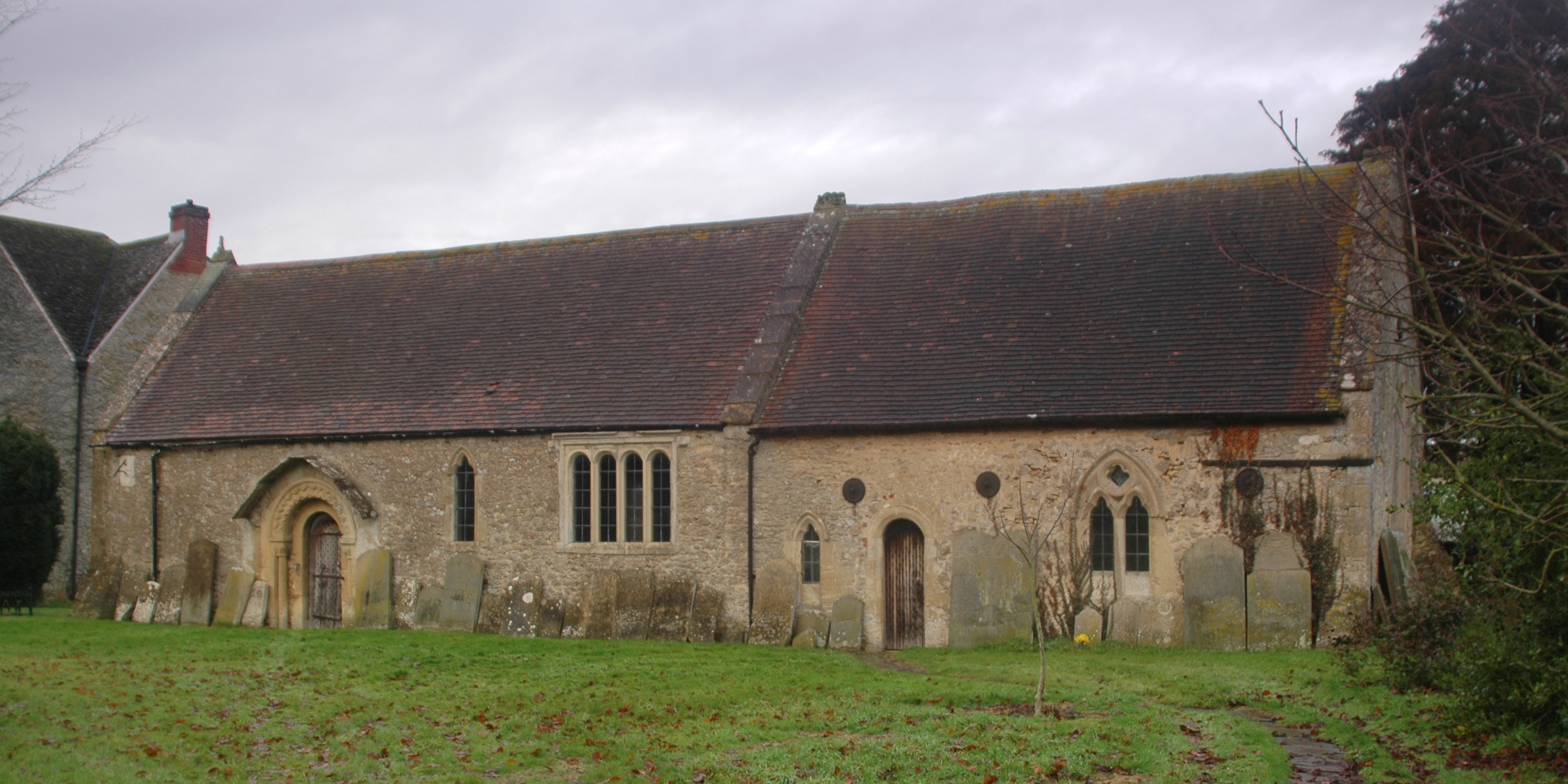
The village is characterized by its charming thatched cottages and historic buildings, showcasing its rich heritage. The local parish church, St. Faith's, dates back to the 13th century and is a notable landmark in the area. The surrounding countryside provides ample opportunities for outdoor activities, including walking, cycling, and horse riding, with several scenic trails and bridleways to explore.
Shellingford benefits from its proximity to the River Ock, which runs through the village, offering residents and visitors the chance to enjoy fishing or simply relax by the water's edge. Additionally, the village boasts a well-maintained village green, providing a community focal point for gatherings and events.
Although small in size, Shellingford benefits from a close-knit community spirit, with various social groups and activities available for residents to engage in. The village also has a local pub, serving traditional British cuisine and providing a cozy atmosphere for locals and visitors alike.
Overall, Shellingford presents a quintessential English village experience, combining the charm of its historic architecture with the beauty of the surrounding countryside, making it an appealing destination for those seeking a peaceful and picturesque retreat.
If you have any feedback on the listing, please let us know in the comments section below.
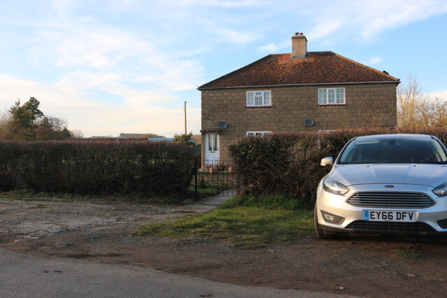
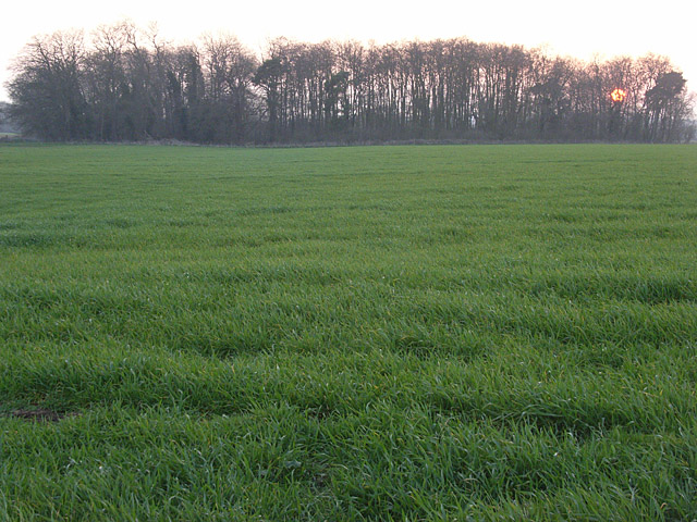
Shellingford Images
Images are sourced within 2km of 51.640841/-1.542809 or Grid Reference SU3193. Thanks to Geograph Open Source API. All images are credited.


Shellingford is located at Grid Ref: SU3193 (Lat: 51.640841, Lng: -1.542809)
Administrative County: Oxfordshire
District: Vale of White Horse
Police Authority: Thames Valley
What 3 Words
///flow.argued.file. Near Stanford in the Vale, Oxfordshire
Nearby Locations
Related Wikis

Shellingford
Shellingford, historically also spelt Shillingford, is a village and civil parish about 2+1⁄2 miles (4 km) south-east of Faringdon in the Vale of White...

Shellingford Crossroads Quarry
Shellingford Crossroads Quarry is a 2.6-hectare (6.4-acre) geological Site of Special Scientific Interest west of Stanford in the Vale in Oxfordshire....

RAF Shellingford
RAF Shellingford was a Royal Air Force station located approximately 4 miles east of the town of Faringdon in Oxfordshire. It occupied land adjacent to...
Hatford
Hatford is a village and civil parish of some 1,000 acres (400 ha) in the Vale of White Horse. It was part of Berkshire until the 1974 boundary changes...
Faringdon Castle
Faringdon Castle was a Norman castle standing just outside the market town of Faringdon in the English county of Berkshire (administratively now Oxfordshire...

Baulking
Baulking or Balking is a village and civil parish about 3+1⁄2 miles (5.6 km) southeast of Faringdon in the Vale of White Horse district of Oxfordshire...

Bow, Oxfordshire
Bow is a hamlet contiguous with Stanford in the Vale in Oxfordshire, England. == External links == Media related to Bow, Oxfordshire at Wikimedia Commons
Buckland Warren
Buckland Warren is a 0.04-hectare (0.099-acre) biological Site of Special Scientific Interest (SSSI) east of Faringdon in Oxfordshire.This narrow strip...
Nearby Amenities
Located within 500m of 51.640841,-1.542809Have you been to Shellingford?
Leave your review of Shellingford below (or comments, questions and feedback).