Shelley

Settlement in Suffolk Babergh

England

Shelley

Lower Layham - looking towards the church
Lower Layham - looking towards the church Credit: Chris Holifield

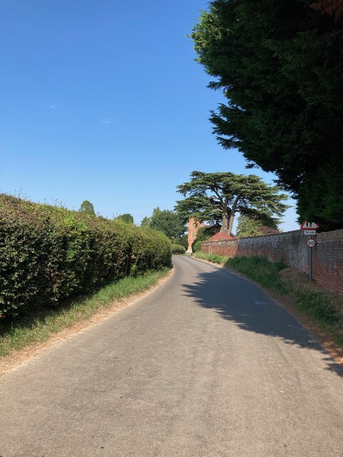
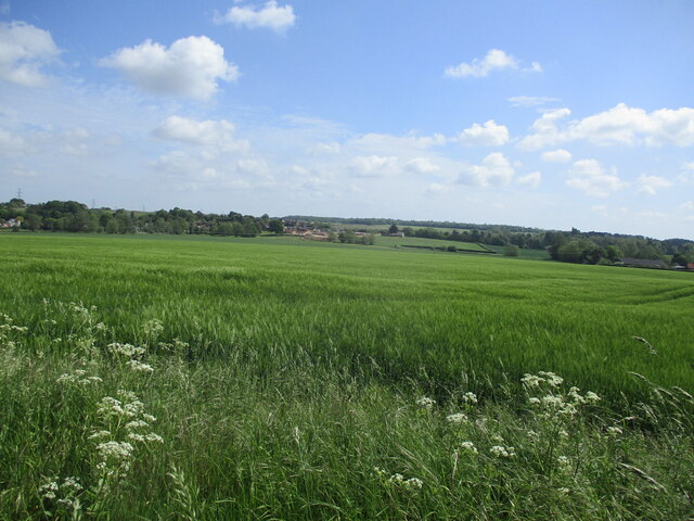
Shelley is a small village located in the county of Suffolk, in the East of England. Situated approximately 10 miles south-west of the town of Ipswich, Shelley is nestled within the picturesque countryside of Suffolk, surrounded by lush green fields and rolling hills. The village is part of the larger civil parish of Shelley and is home to a population of around 500 residents.

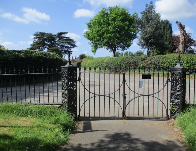
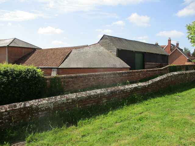
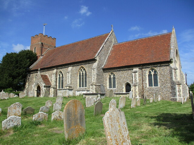
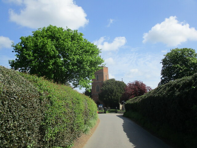
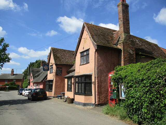
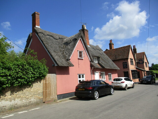
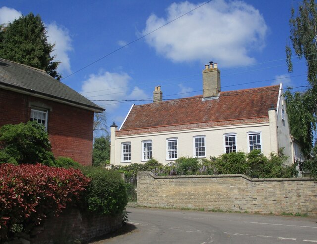
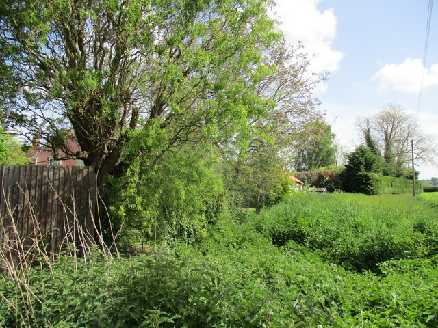
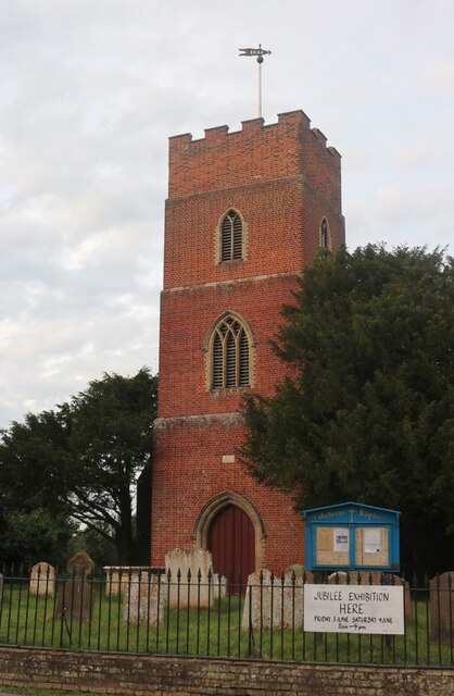
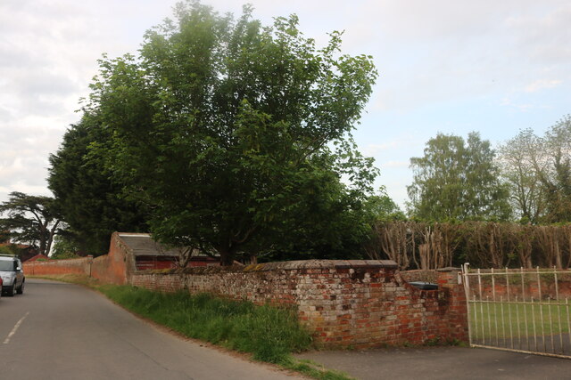
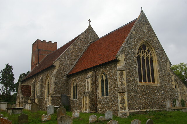
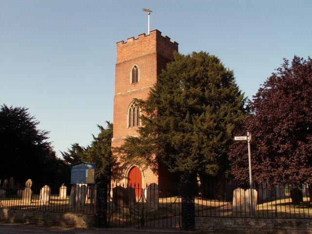
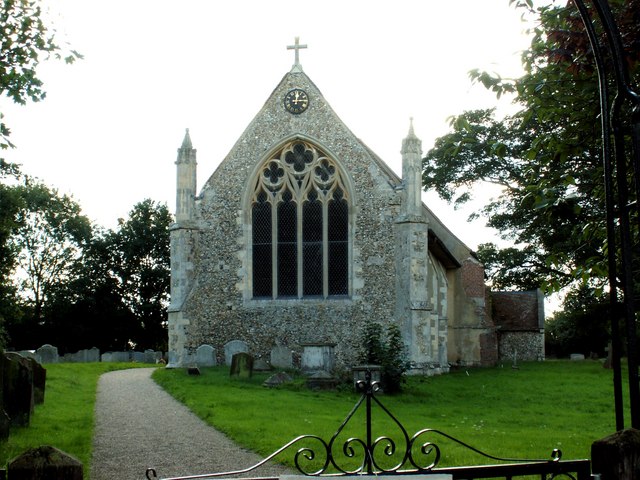
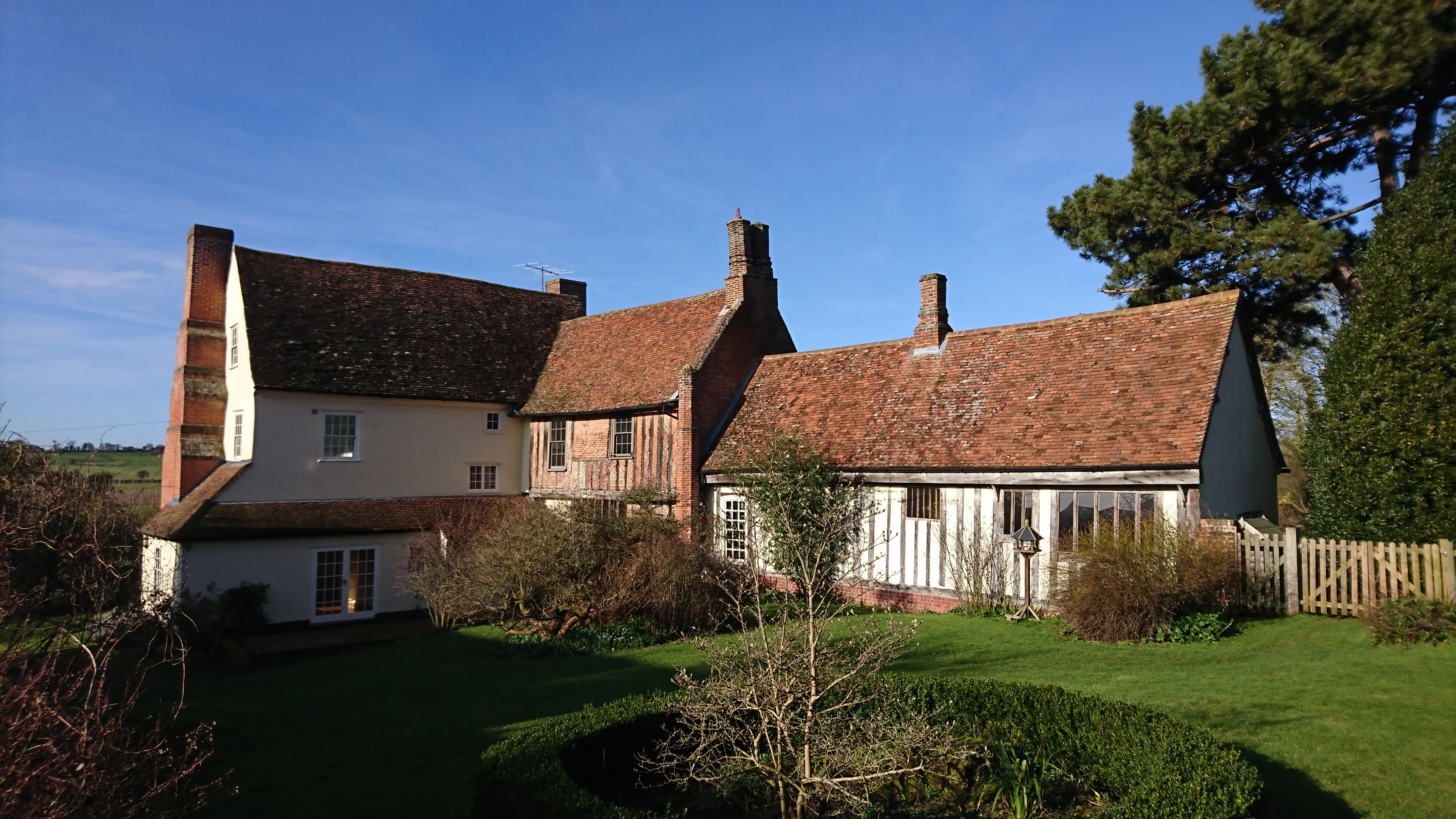
Shelley is renowned for its peaceful and idyllic setting, making it a popular destination for those seeking a tranquil rural retreat. The village itself is characterized by its charming traditional architecture, with many buildings dating back several centuries. The picturesque St. Mary's Church, a notable medieval structure, stands proudly in the heart of the village and serves as a reminder of Shelley's rich history.

Despite its small size, Shelley offers a range of amenities to its residents. These include a village hall, a primary school, and a local pub, providing a sense of community and social interaction. Additionally, the village benefits from its proximity to larger towns and cities, such as Ipswich, which offer a wider array of services and facilities.

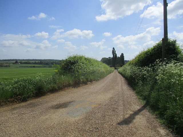
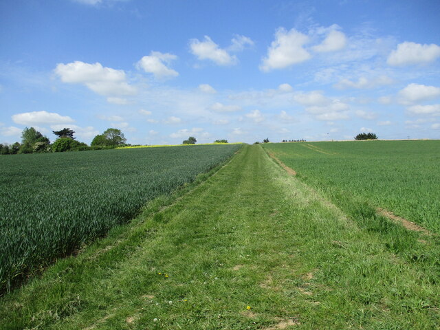
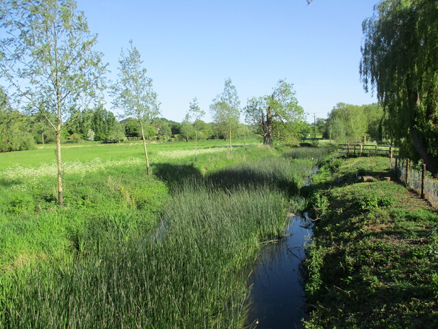
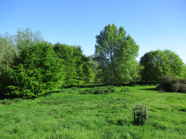
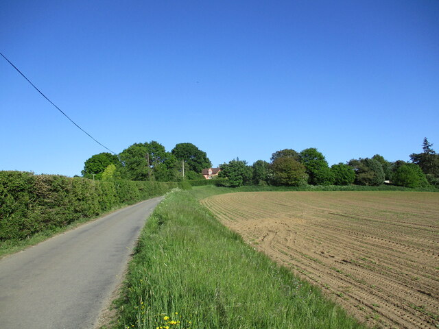
The surrounding area is a haven for outdoor enthusiasts, with numerous walking and cycling trails winding through the scenic countryside. Visitors can explore the nearby Dedham Vale, an Area of Outstanding Natural Beauty, or take a leisurely stroll along the River Stour, which meanders close to the village.

In summary, Shelley is a charming village in Suffolk, offering a peaceful and picturesque rural lifestyle. With its rich history, beautiful countryside, and close-knit community, it is a place that continues to attract both residents and visitors alike.

If you have any feedback on the listing, please let us know in the comments section below.

Shelley Images

Images are sourced within 2km of 52.008395/0.95833005 or Grid Reference TM0338. Thanks to Geograph Open Source API. All images are credited.

Lower Layham - looking towards the church
The churchyard gates, Layham
Barns at Netherbury Hall, Lower Layham
St. Andrew's Church, Layham The tower dates from 1742. The remainder dates from about 1300 but much renewed in 1861 <span class="nowrap"><a title="https://historicengland.org.uk/listing/the-list/list-entry/1037136?section=official-list-entry" rel="nofollow ugc noopener" href="https://historicengland.org.uk/listing/the-list/list-entry/1037136?section=official-list-entry">Link</a><img style="margin-left:2px;" alt="External link" title="External link - shift click to open in new window" src="https://s1.geograph.org.uk/img/external.png" width="10" height="10"/></span>
St. Andrew's Church, Layham
The tower dates from 1742. The remainder dates from about 1300 but much renewed in 1861 LinkExternal link
The Street, Lower Layham Looking towards St. Andrew's church.
The Street, Lower Layham
Looking towards St. Andrew's church.
The Queen's Head Inn, Lower Layham Probably of medieval origin but much altered <span class="nowrap"><a title="https://historicengland.org.uk/listing/the-list/list-entry/1181827?section=official-list-entry" rel="nofollow ugc noopener" href="https://historicengland.org.uk/listing/the-list/list-entry/1181827?section=official-list-entry">Link</a><img style="margin-left:2px;" alt="External link" title="External link - shift click to open in new window" src="https://s1.geograph.org.uk/img/external.png" width="10" height="10"/></span>
The Queen's Head Inn, Lower Layham
Probably of medieval origin but much altered LinkExternal link
Layham House Cottage, Lower Layham Probably dates from the late seventeenth century <span class="nowrap"><a title="https://historicengland.org.uk/listing/the-list/list-entry/1037143?section=official-list-entry" rel="nofollow ugc noopener" href="https://historicengland.org.uk/listing/the-list/list-entry/1037143?section=official-list-entry">Link</a><img style="margin-left:2px;" alt="External link" title="External link - shift click to open in new window" src="https://s1.geograph.org.uk/img/external.png" width="10" height="10"/></span>
Layham House Cottage, Lower Layham
Probably dates from the late seventeenth century LinkExternal link
Layham House, Lower Layham Eighteenth century house <span class="nowrap"><a title="https://historicengland.org.uk/listing/the-list/list-entry/1284805?section=official-list-entry" rel="nofollow ugc noopener" href="https://historicengland.org.uk/listing/the-list/list-entry/1284805?section=official-list-entry">Link</a><img style="margin-left:2px;" alt="External link" title="External link - shift click to open in new window" src="https://s1.geograph.org.uk/img/external.png" width="10" height="10"/></span>
Layham House, Lower Layham
Eighteenth century house LinkExternal link
Overgrown stream, Lower Layham
Barley field, Lower Layham
St Andrew's Church, Layham
Stoke Road, Layham You don't often see a building ending in a wall along a road.
Stoke Road, Layham
You don't often see a building ending in a wall along a road.
St Andrew's church, Layham
Bridleway to Water House Farm
Footpath to Stoke Road
The River Brett at Shelley Bridge Looking downstream.
The River Brett at Shelley Bridge
Looking downstream.
Parkland near Shelley Hall The trees hide a moated site.
Parkland near Shelley Hall
The trees hide a moated site.
Sutton Hill
Sutton Hill
Show me another place!

Shelley is located at Grid Ref: TM0338 (Lat: 52.008395, Lng: 0.95833005)

Administrative County: Suffolk

District: Babergh

Police Authority: Suffolk

What 3 Words

///opponent.isolated.matchbox. Near Hadleigh, Suffolk

Related Wikis

Shelley, Suffolk

Shelley is a small village and civil parish in Suffolk, England. Located on the west bank of the River Brett around three miles south of Hadleigh, it is...

Lower Layham

Lower Layham is a small village in the civil parish of Layham, in the Babergh district, in the county of Suffolk, England. The village contains St.Andrew...

Giffords Hall, Stoke-by-Nayland

Giffords Hall (also called Gifford's Hall) is a Tudor manor house near Stoke-by-Nayland in Suffolk, England. It was described by Nikolaus Pevsner as “one...

Raydon

Raydon is a village and civil parish in Suffolk, England. Located around two miles south-east of Hadleigh, it is part of Babergh district. The parish also...

Upper Layham

Upper Layham is a village on the B1070 road, in the civil parish of Layham, in the Babergh district, in the county of Suffolk, England. Upper Layham has...

Layham

Layham is a small village and a civil parish in southern Suffolk, England, situated between the town of Hadleigh and the neighbouring village of Raydon...

Withermarsh Green

Withermarsh Green is a village in the civil parish of Stoke-by-Nayland, in the Babergh district, in the county of Suffolk, England. It is located near...

Benton End

Benton End is a Grade II* listed sixteenth-century house located on the outskirts of the market town of Hadleigh in Suffolk, England. From 1939 to 1982...

Nearby Amenities

Located within 500m of 52.008395,0.95833005
Shelley
Place: hamlet
Source: npe
Wikidata: Q767046
Lat/Long: 52.0071487/0.9577423
Bus Stop
Church
Naptan AtcoCode: 390010628
Naptan Bearing: N
Naptan BusStopType: CUS
Naptan CommonName: Church
Naptan Indicator: adj
Naptan Landmark: Church
Naptan NaptanCode: sufagtpm
Naptan Street: Shelley Road
Naptan Verified: no
Source: naptan_import
Lat/Long: 52.0072755/0.9581478
Bus Stop
Church
Naptan AtcoCode: 390010629
Naptan Bearing: SE
Naptan BusStopType: CUS
Naptan CommonName: Church
Naptan Indicator: opp
Naptan Landmark: Church
Naptan NaptanCode: sufagtpt
Naptan Street: Shelley Road
Naptan Verified: no
Source: naptan_import
Lat/Long: 52.007382/0.9583718
Post Box
Collection Times: Mo-Fr 15:00; Sa 08:15
Operator: Royal Mail
Post Box Apertures: 1
Post Box Type: lamp
Ref: IP7 1201
Royal Cypher: EIIR
Royal Cypher Wikidata: Q33102113
Lat/Long: 52.0075238/0.9615217
Booth: K6
Covered: booth
Disused Amenity: telephone
Man Made: telephone_box
Lat/Long: 52.0075219/0.9614569
RDA Shelley Centre
Addr Postcode: IP7 5QY
Addr Street: Shelley Road
Email: shelleyrda@gmail.com
Leisure: horse_riding
Operator: Riding for the Disabled Association (RDA)
Phone: +44 1473 824172
Website: https://www.shelleyrda.com/
Lat/Long: 52.0115097/0.9549105
The data included in this document is from www.openstreetmap.org. The data is made available under ODbL.

Have you been to Shelley?

Leave your review of Shelley below (or comments, questions and feedback).