Seion
Settlement in Caernarfonshire
Wales
Seion
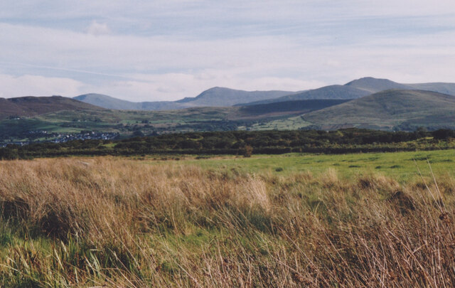
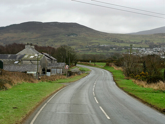
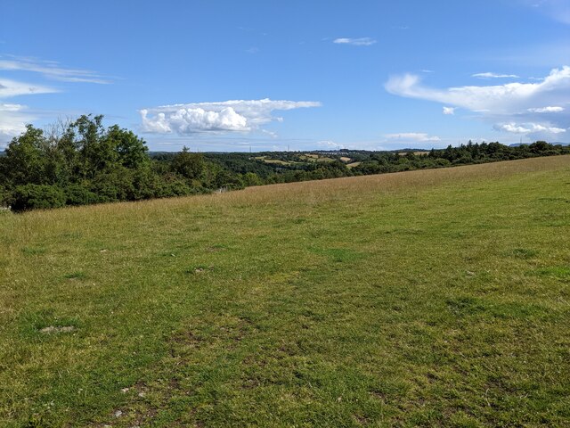
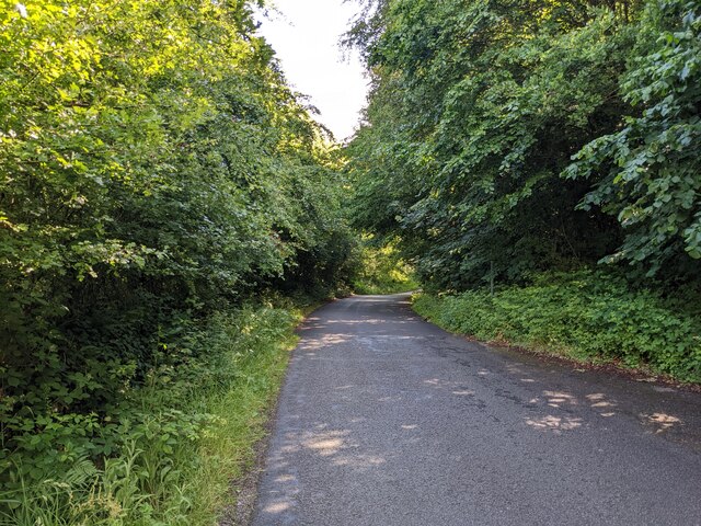
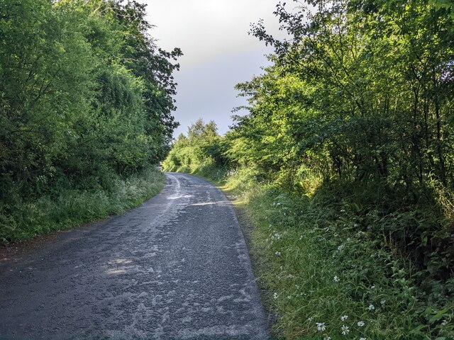
Seion is a small village located in the historic county of Caernarfonshire, Wales. Situated in the picturesque countryside of North Wales, it is nestled between the towns of Llanrug and Penygroes. The village is set against a backdrop of rolling hills and offers breathtaking views of the surrounding Snowdonia National Park.
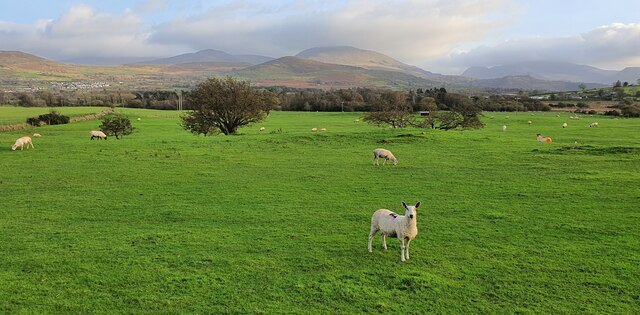
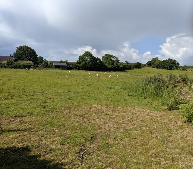
Seion is primarily a rural community with a close-knit population. It is known for its peaceful and tranquil atmosphere, making it an ideal destination for those seeking a retreat from the hustle and bustle of city life. The village is characterized by its charming traditional Welsh architecture, with many stone-built houses and cottages scattered throughout.
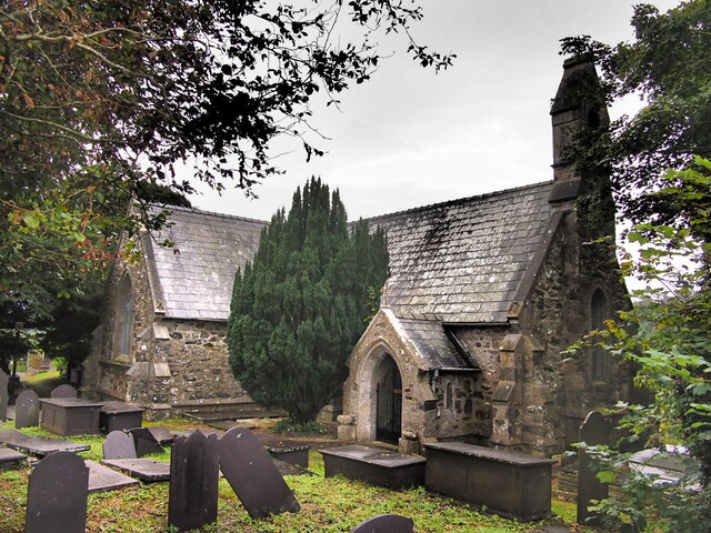
The heart of Seion is the local chapel, also named Seion, which serves as a focal point for the community. The chapel has a strong religious influence and plays an important role in village life, hosting weekly services and various community events. The chapel is surrounded by a well-maintained cemetery, where many generations of Seion residents have been laid to rest.
While Seion is a small village, it offers a range of amenities to its residents. These include a primary school, a post office, and a few local shops. The village is also home to several farms, contributing to the agricultural heritage of the area.
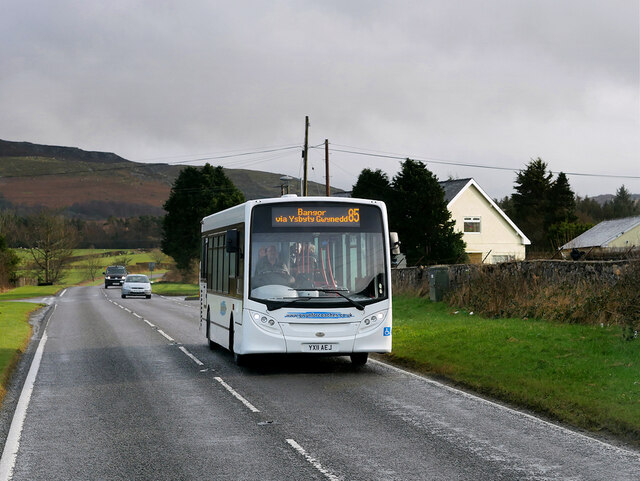
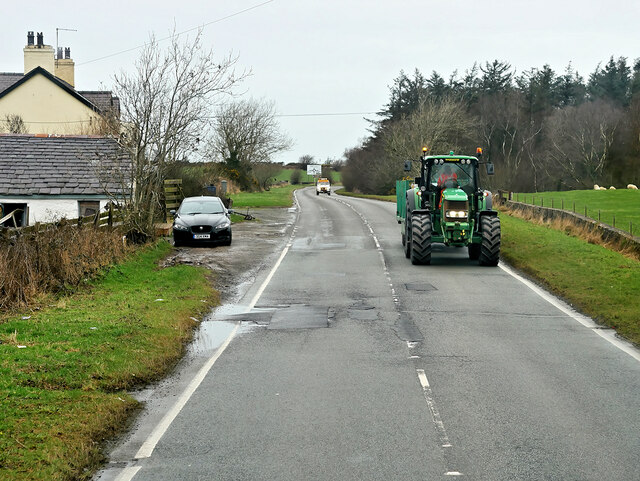
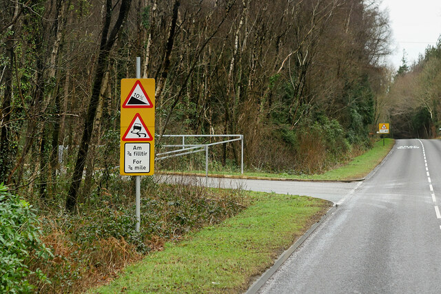
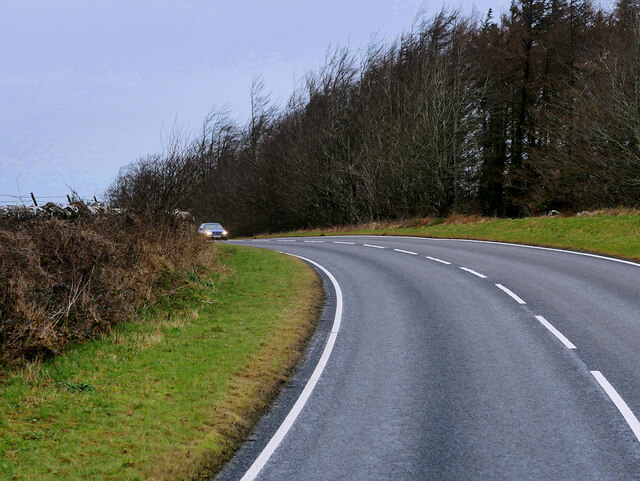
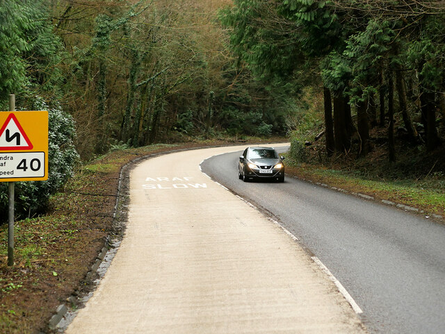
Despite its rural setting, Seion benefits from good transportation links, with the nearby A4086 road connecting it to larger towns and cities in the region. Additionally, the village is within reach of popular tourist attractions such as Mount Snowdon, making it an attractive base for outdoor enthusiasts and nature lovers.
In summary, Seion is a picturesque and close-knit village in Caernarfonshire, Wales. With its tranquil setting, traditional architecture, and strong sense of community, it offers a peaceful retreat for residents and visitors alike.
If you have any feedback on the listing, please let us know in the comments section below.
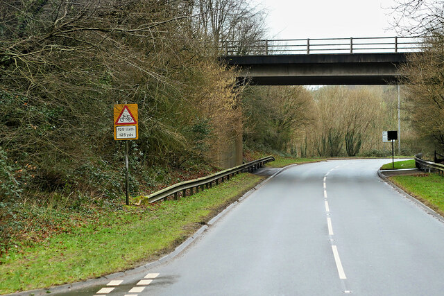
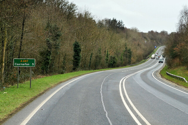
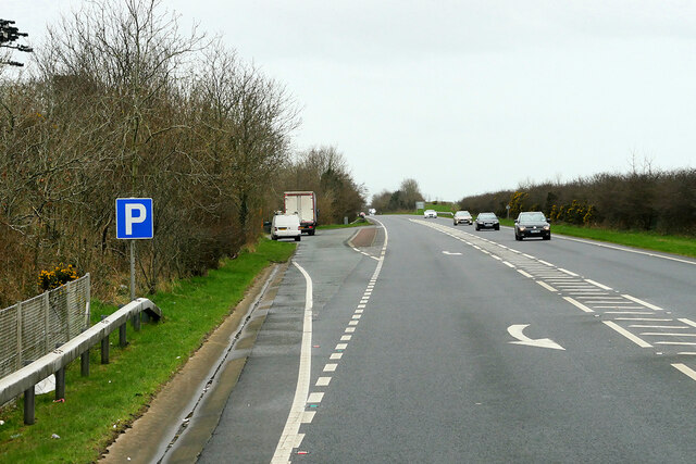
Seion Images
Images are sourced within 2km of 53.180764/-4.173977 or Grid Reference SH5467. Thanks to Geograph Open Source API. All images are credited.


Seion is located at Grid Ref: SH5467 (Lat: 53.180764, Lng: -4.173977)
Unitary Authority: Gwynedd
Police Authority: North Wales
What 3 Words
///grain.seats.matchbox. Near Y Felinheli, Gwynedd
Nearby Locations
Related Wikis

Llanddeiniolen
Llanddeiniolen (Welsh: [ɬanðɛinɪˈɔlɛn]; ) is the name of a community area, in the county of Gwynedd, Wales, and is 124 miles (200 km) from Cardiff and...

GreenWood
GreenWood (Welsh: Gelli Gyffwrdd), formerly GreenWood Forest Park and The GreenWood Centre, is a family fun park at Y Felinheli in Gwynedd, Wales. The...
Y Felinheli F.C.
Clwb Pêl Droed Y Felinheli (English: Y Felinheli Football Club) is a Welsh football team based in the village of Y Felinheli (formerly known in English...
Port Dinorwic railway station
Port Dinorwic railway station was the name of two railway stations located on the Bangor and Carnarvon Railway near the village of Port Dinorwic (now Y...

Y Felinheli
Y Felinheli (), formerly known in English as Port Dinorwic, is a village and community beside the Menai Strait (Welsh: Y Fenai or Afon Menai) between Bangor...

Pentir
Pentir is a community and electoral ward in the county of Gwynedd, Wales, and is 124 miles (199.9 km) from Cardiff and 205 miles (329.4 km) from London...

Faenol Festival
The Faenol Festival (Welsh: Gŵyl y Faenol) is a music festival organised by Welsh singer Bryn Terfel, originally held annually on the Faenol Estate (Welsh...

Vaynol
Vaynol or Y Faenol (Welsh [ə ˈveɨnɔl]) is a country estate dating from the Tudor period near Y Felinheli in Gwynedd, North Wales (grid reference SH536695...
Nearby Amenities
Located within 500m of 53.180764,-4.173977Have you been to Seion?
Leave your review of Seion below (or comments, questions and feedback).