Seisdon
Settlement in Staffordshire South Staffordshire
England
Seisdon
The requested URL returned error: 429 Too Many Requests
If you have any feedback on the listing, please let us know in the comments section below.
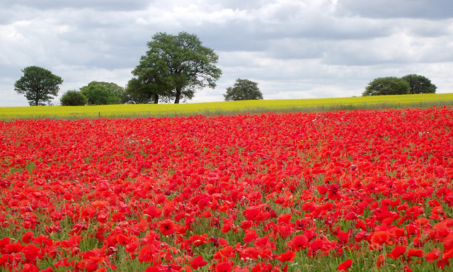
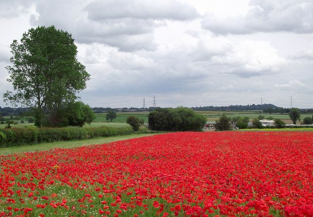
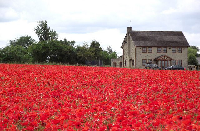
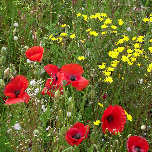
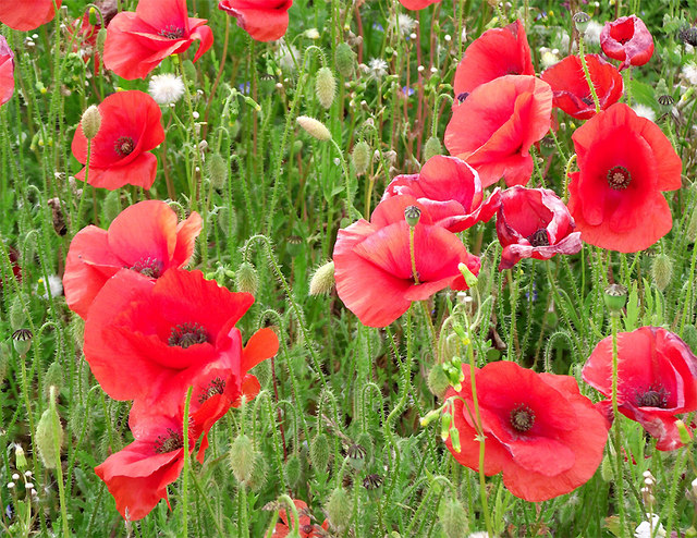
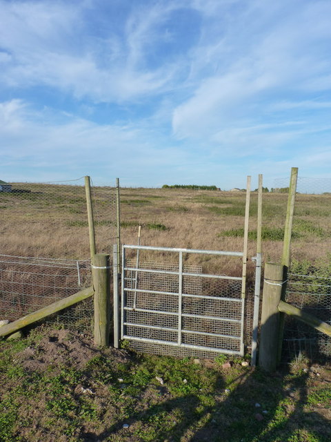
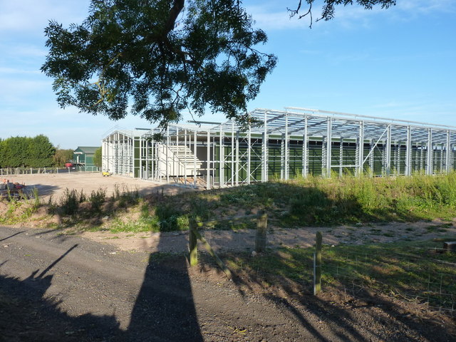
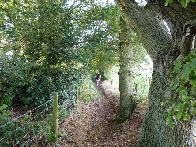
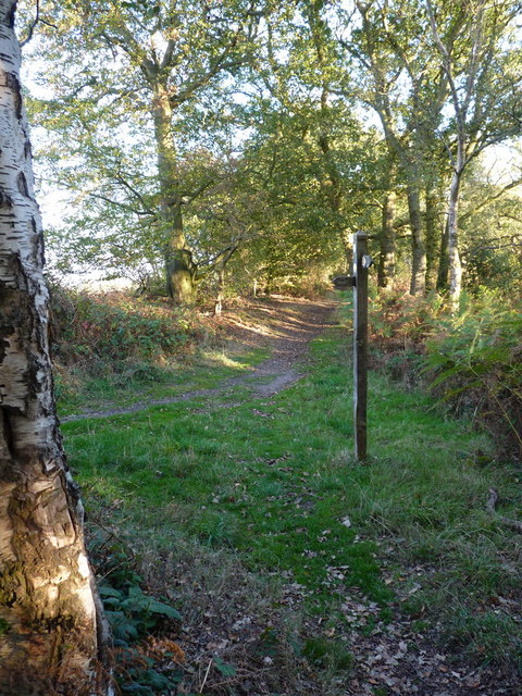
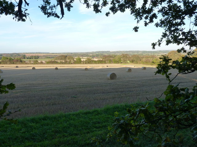
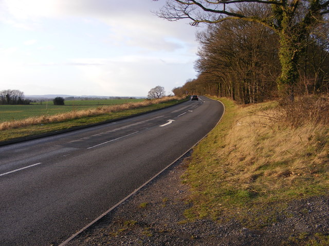
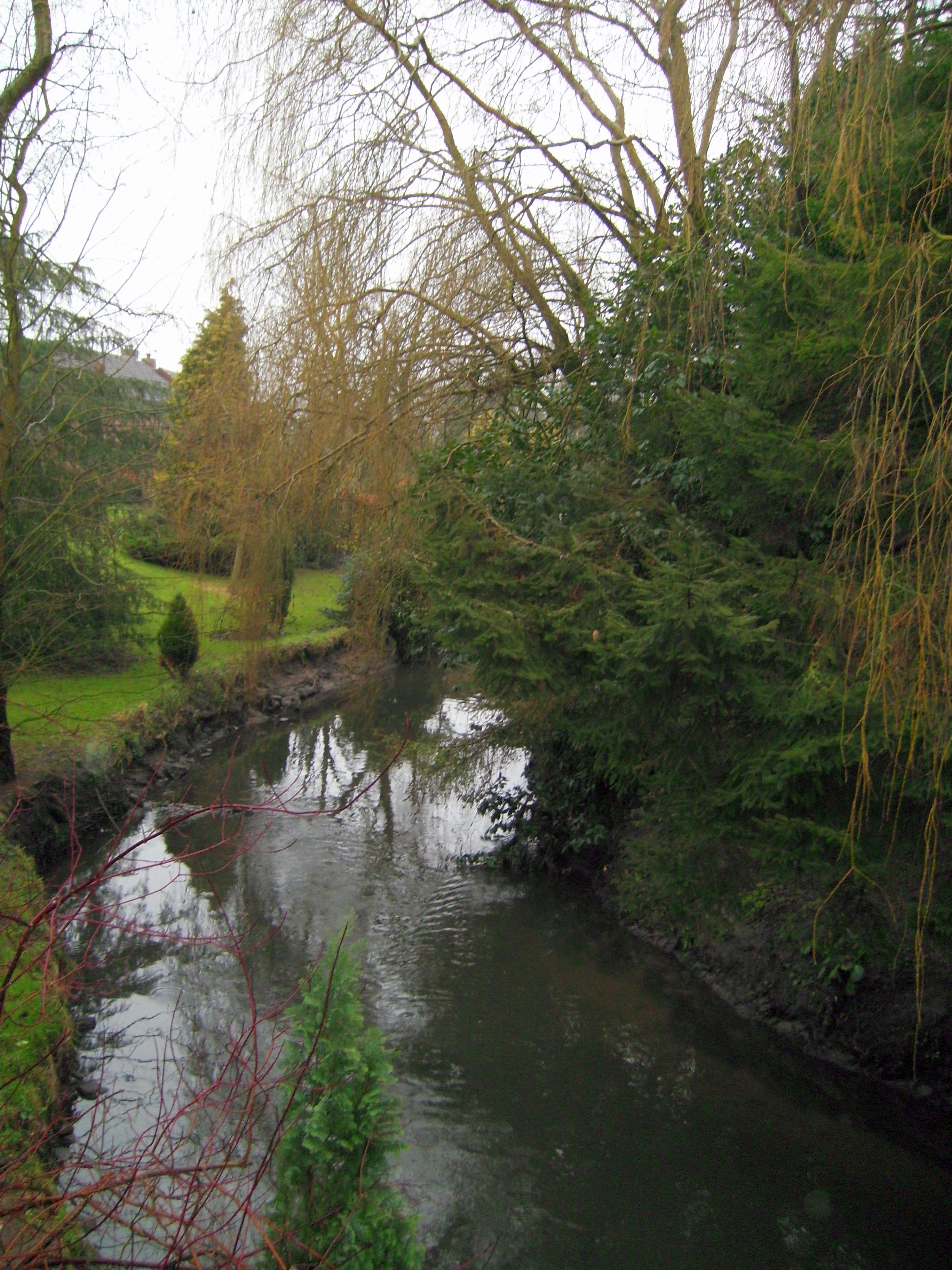
Seisdon Images
Images are sourced within 2km of 52.551407/-2.238448 or Grid Reference SO8394. Thanks to Geograph Open Source API. All images are credited.


Seisdon is located at Grid Ref: SO8394 (Lat: 52.551407, Lng: -2.238448)
Administrative County: Staffordshire
District: South Staffordshire
Police Authority: Staffordshire
What 3 Words
///bucked.buddy.minds. Near Wombourn, Staffordshire
Nearby Locations
Related Wikis
Seisdon
Seisdon is a rural village in the parish of Trysull and Seisdon, Staffordshire approximately six miles west of Wolverhampton and the name of one of the...

Seisdon Rural District
Seisdon was a rural district in Staffordshire, England from 1894 to 1974. It lay to the west of Wolverhampton and was formed under the Local Government...

Trysull and Seisdon
Trysull and Seisdon is a conjoined civil parish in the South Staffordshire non-metropolitan district, in the county of Staffordshire, England. The population...

Trysull
Trysull is a rural village in the county of Staffordshire, England approximately five miles south-west of Wolverhampton. With the adjacent village of...
Nearby Amenities
Located within 500m of 52.551407,-2.238448Have you been to Seisdon?
Leave your review of Seisdon below (or comments, questions and feedback).