Pen-y-Graig
Hill, Mountain in Caernarfonshire
Wales
Pen-y-Graig
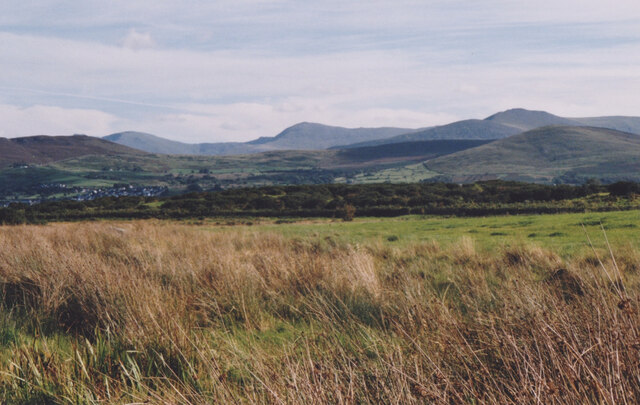
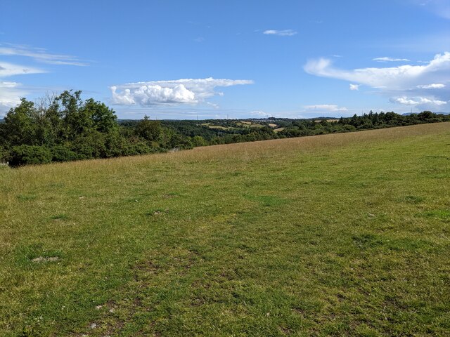
Pen-y-Graig is a prominent hill located in the county of Caernarfonshire in northwestern Wales. The hill is part of the Snowdonia National Park, known for its breathtaking landscapes and diverse wildlife. Standing at an impressive elevation of 734 meters (2,408 feet), Pen-y-Graig offers stunning panoramic views of the surrounding area.
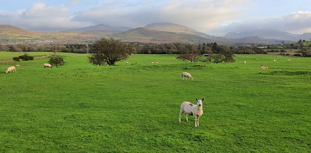
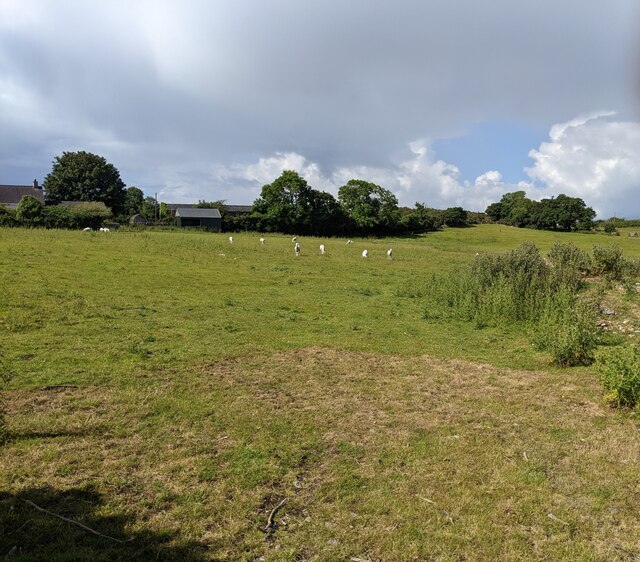
The hill is a popular destination for hikers and nature enthusiasts due to its challenging yet rewarding trails. The ascent to the summit is marked by rocky paths and steep slopes, providing a thrilling experience for adventurers. Along the way, visitors can admire the lush greenery of the Welsh countryside, dotted with colorful wildflowers during the warmer months.
At the peak of Pen-y-Graig, one can marvel at the majestic vistas that stretch across the national park and beyond. On clear days, it is possible to see the towering peaks of Mount Snowdon, the highest mountain in Wales, as well as the picturesque coastline of the Irish Sea.
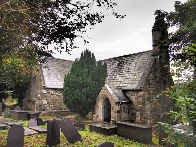
Aside from its natural beauty, Pen-y-Graig is also steeped in history. The hill is believed to have been a site of ancient settlements, and remnants of Bronze Age and Iron Age structures have been discovered in the surrounding area. These archaeological finds add an intriguing historical dimension to the hill's allure.
In conclusion, Pen-y-Graig is a captivating hill in Caernarfonshire, Wales, offering both stunning natural landscapes and a glimpse into the region's rich history. Whether visitors seek outdoor adventures or a peaceful place to soak in the scenery, Pen-y-Graig is a must-visit destination within the Snowdonia National Park.
If you have any feedback on the listing, please let us know in the comments section below.
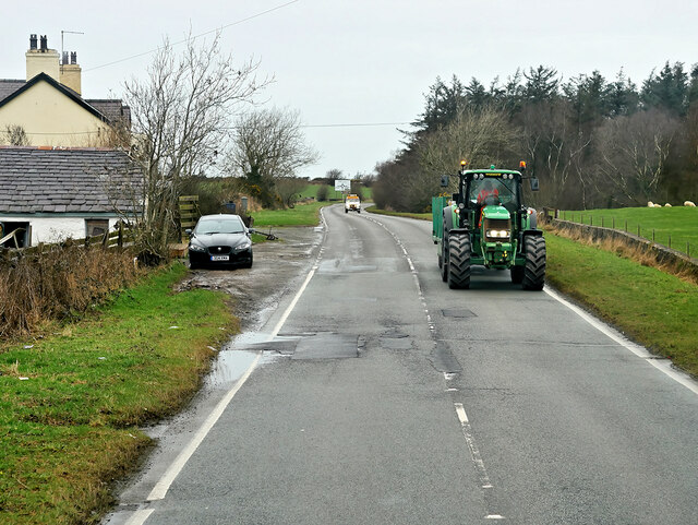
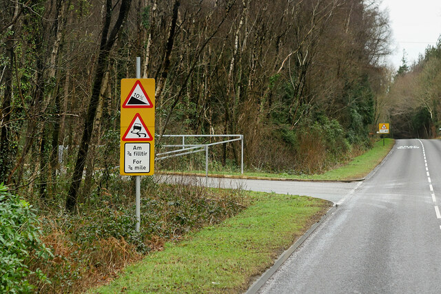
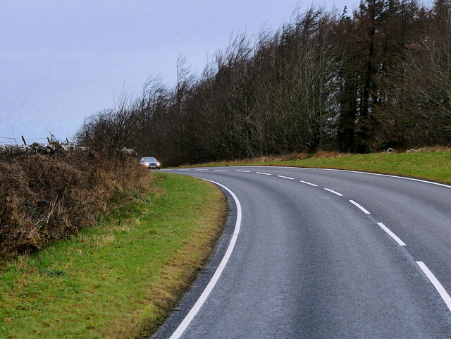
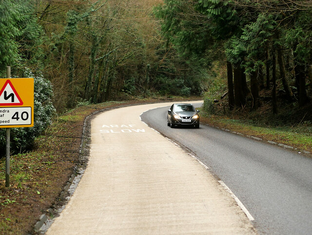
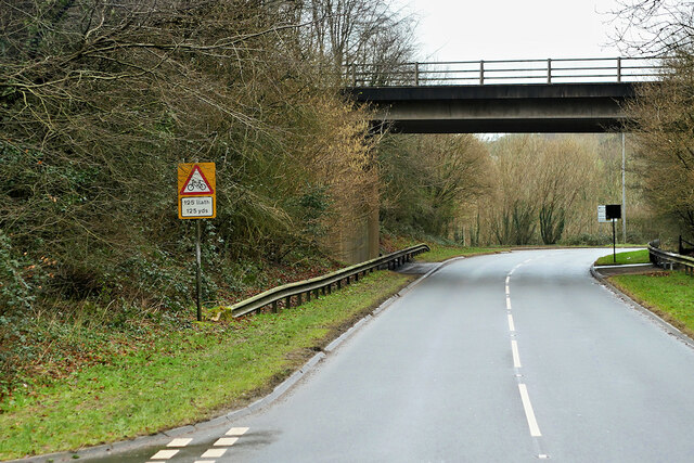
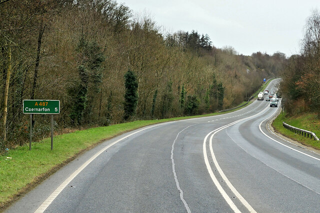
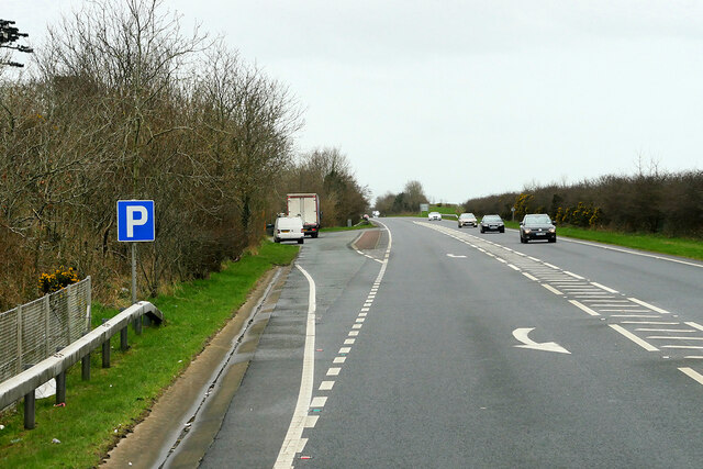
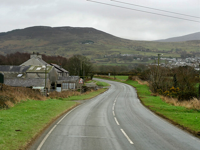
Pen-y-Graig Images
Images are sourced within 2km of 53.182316/-4.176667 or Grid Reference SH5467. Thanks to Geograph Open Source API. All images are credited.


Pen-y-Graig is located at Grid Ref: SH5467 (Lat: 53.182316, Lng: -4.176667)
Unitary Authority: Gwynedd
Police Authority: North Wales
What 3 Words
///voters.jubilant.civil. Near Y Felinheli, Gwynedd
Nearby Locations
Related Wikis

Llanddeiniolen
Llanddeiniolen (Welsh: [ɬanðɛinɪˈɔlɛn]; ) is the name of a community area, in the county of Gwynedd, Wales, and is 124 miles (200 km) from Cardiff and...

GreenWood
GreenWood (Welsh: Gelli Gyffwrdd), formerly GreenWood Forest Park and The GreenWood Centre, is a family fun park at Y Felinheli in Gwynedd, Wales. The...
Y Felinheli F.C.
Clwb Pêl Droed Y Felinheli (English: Y Felinheli Football Club) is a Welsh football team based in the village of Y Felinheli (formerly known in English...
Port Dinorwic railway station
Port Dinorwic railway station was the name of two railway stations located on the Bangor and Carnarvon Railway near the village of Port Dinorwic (now Y...

Y Felinheli
Y Felinheli (), formerly known in English as Port Dinorwic, is a village and community beside the Menai Strait (Welsh: Y Fenai or Afon Menai) between Bangor...

Faenol Festival
The Faenol Festival (Welsh: Gŵyl y Faenol) is a music festival organised by Welsh singer Bryn Terfel, originally held annually on the Faenol Estate (Welsh...

Vaynol
Vaynol or Y Faenol (Welsh [ə ˈveɨnɔl]) is a country estate dating from the Tudor period near Y Felinheli in Gwynedd, North Wales (grid reference SH536695...
Ysgol Glanaethwy
Ysgol Glanaethwy is a drama school in Bangor, Gwynedd, Wales. It is known in particular for its choir, Côr Glanaethwy. == History == Ysgol Glanaethwy was...
Nearby Amenities
Located within 500m of 53.182316,-4.176667Have you been to Pen-y-Graig?
Leave your review of Pen-y-Graig below (or comments, questions and feedback).