Scotches
Settlement in Derbyshire Amber Va
England
Scotches
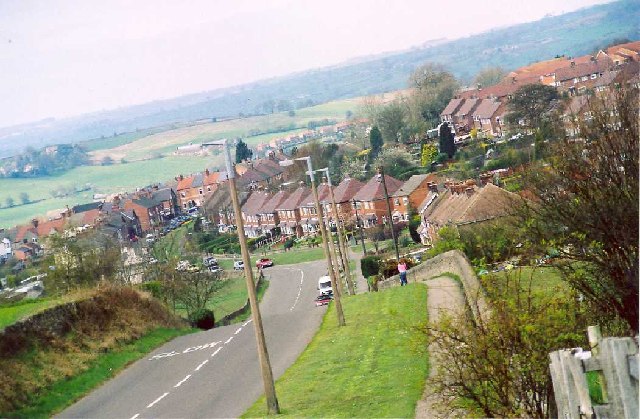
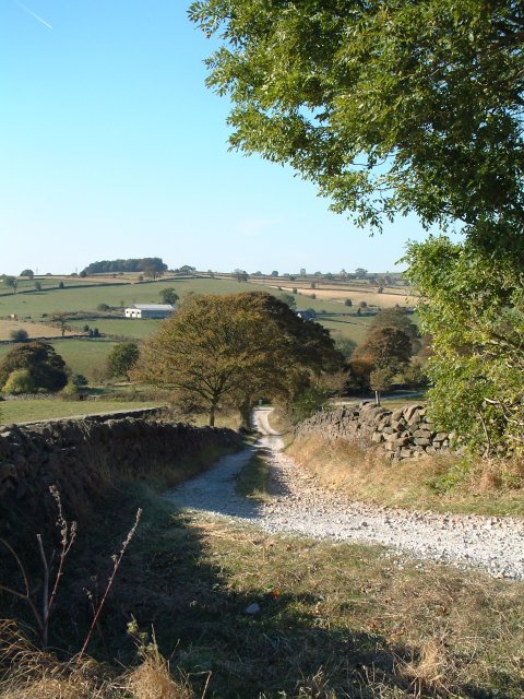
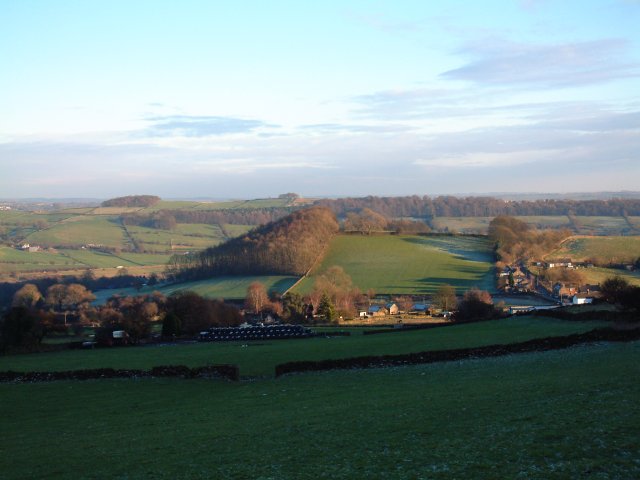
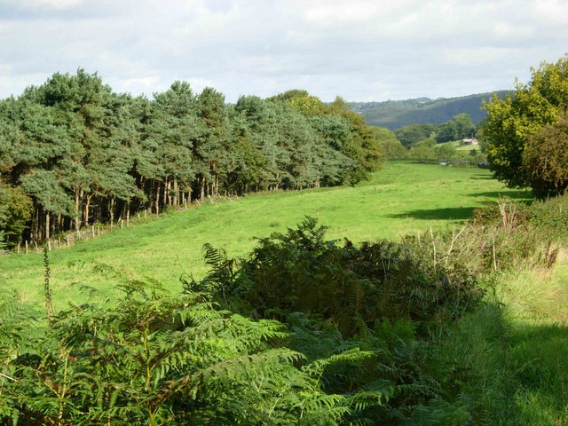
Scotches is a small village located in the district of Derbyshire, England. Situated in the heart of the picturesque Peak District National Park, it offers breathtaking natural beauty and a tranquil atmosphere to its residents and visitors alike.
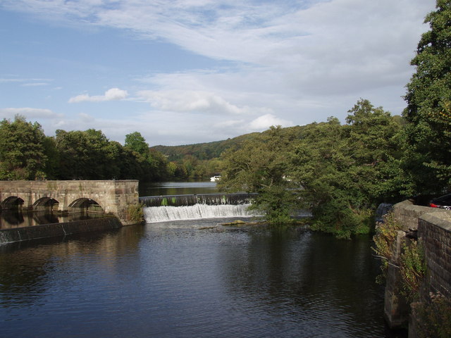
The village is known for its idyllic rural setting, surrounded by rolling hills, lush green meadows, and dense woodlands. It is a haven for nature enthusiasts, hikers, and outdoor adventurers, who are drawn to the area's extensive network of walking trails and cycling routes.
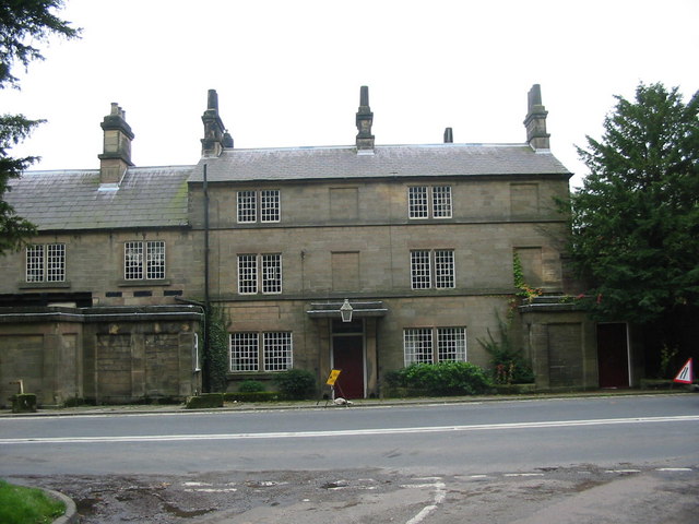
Scotches is also renowned for its rich history and heritage, with several historic landmarks and sites of interest scattered throughout the village. One such notable attraction is Scotches Hall, a Grade II listed building dating back to the 17th century. This magnificent manor house showcases stunning architecture and provides a glimpse into the area's past.
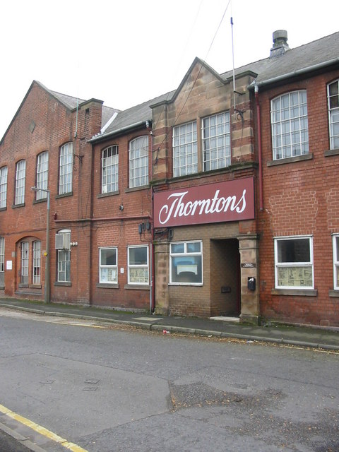
The village boasts a close-knit community and a strong sense of community spirit. It is home to a small but vibrant population, with a range of amenities and services available to cater to their needs. These include a village hall, local shops, and traditional pubs where locals and visitors can enjoy a friendly atmosphere and sample delicious local cuisine.
Scotches offers a peaceful retreat from the hustle and bustle of city life, allowing residents and visitors to immerse themselves in the natural beauty and serenity of the English countryside. Whether it's exploring scenic trails, discovering historical landmarks, or simply enjoying the tranquility of rural living, Scotches has something to offer everyone.
If you have any feedback on the listing, please let us know in the comments section below.
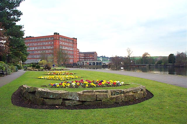
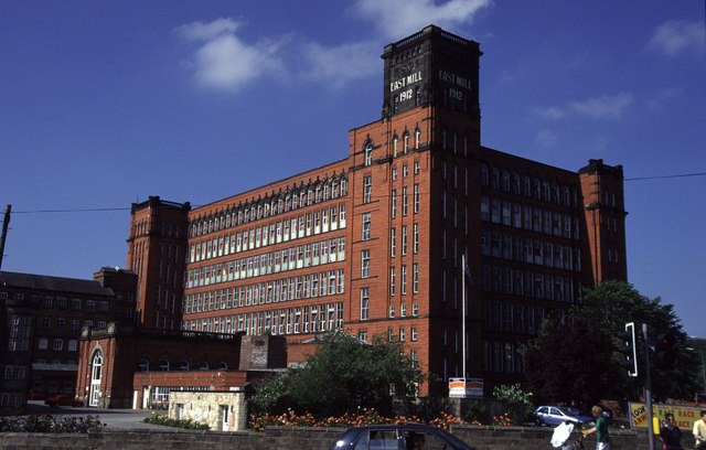
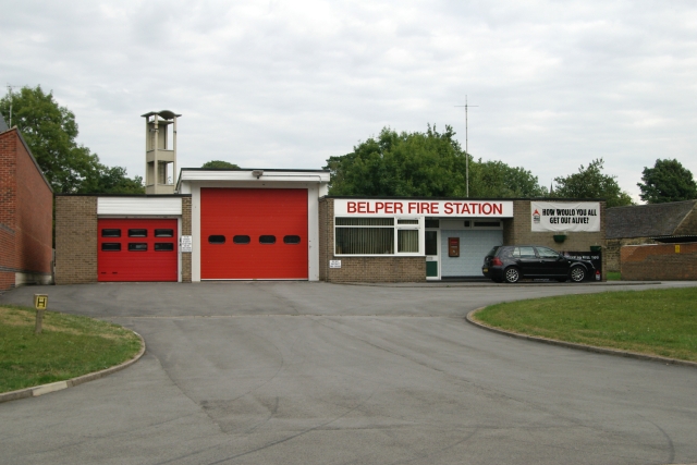
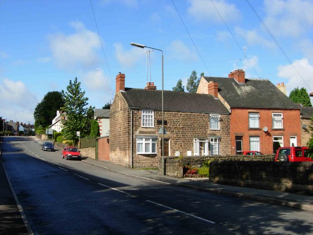
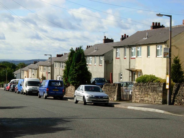
Scotches Images
Images are sourced within 2km of 53.031964/-1.4866322 or Grid Reference SK3448. Thanks to Geograph Open Source API. All images are credited.

Scotches is located at Grid Ref: SK3448 (Lat: 53.031964, Lng: -1.4866322)
Administrative County: Derbyshire
District: Amber Va
Police Authority: Derbyshire
What 3 Words
///smiled.prone.crossings. Near Belper, Derbyshire
Nearby Locations
Related Wikis

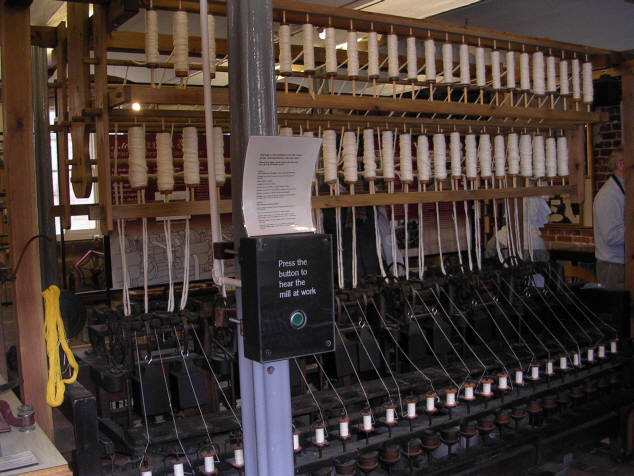
Belper North Mill
Belper North Mill, also known as Strutt's North Mill in Belper, is one of the Derwent Valley Mills, given UNESCO World Heritage Status in 2001. The mill...
Wyver
Wyver is a locality within Belper civil parish, which is in the Amber Valley district of Derbyshire, England. The area takes up the western bank of the...
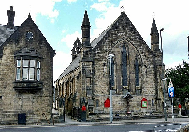
Christ Church, Belper
Christ Church is a Grade II listed parish church in the Church of England in Belper, Derbyshire. == History == The church was built to the designs of the...

Belper United F.C.
Belper United Football Club is a football club based in Belper, Derbyshire, England. They are currently members of the United Counties League Premier Division...

Belper Town F.C.
Belper Town Football Club is a football club based in Belper, Derbyshire, England. They are currently members of the Northern Premier League Division One...

Belper Baptist Church
Belper Baptist Church is a Baptist Chapel on Bridge Street in Belper, Derbyshire, England. == History == The Baptist presence in Belper was formed from...

Belper railway station
Belper railway station serves the town of Belper in Derbyshire, England. The station is located on the Midland Main Line from London St Pancras to Leeds...

Belper Congregational Church
Belper Congregational Church is a Grade II listed former congregational chapel on Green Lane in Belper, Derbyshire. == History == It was built to replace...
Nearby Amenities
Located within 500m of 53.031964,-1.4866322Have you been to Scotches?
Leave your review of Scotches below (or comments, questions and feedback).