Mount Pleasant

Settlement in Derbyshire Amber Va

England

Mount Pleasant

Belper North Mill & River Gardens Mills in Belper were constructed by Jedediah Strutt from 1776. The original North Mill was built in 1786 but the building was destroyed by fire in 1803. Now part of Derwent Valley Mills World Heritage Site, the new mill built in 1804 is a forerunner of the modern skyscraper. Another member of the Strutt family, George Herbert created the gardens in 1905.
Belper North Mill & River Gardens Credit: Garth Newton

Mount Pleasant is a small village located in Derbyshire, England. Situated in the southern part of the county, it lies within the district of South Derbyshire and is approximately 7 miles southeast of the city of Derby. The village is situated on a hill, providing scenic views of the surrounding countryside.

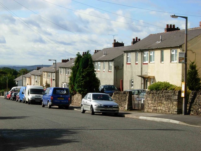
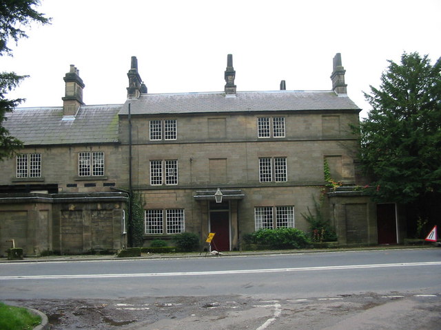
With a population of around 1,000 residents, Mount Pleasant is a close-knit community known for its peaceful and rural atmosphere. The village is characterized by its charming stone cottages and historic buildings, which give it a traditional English village feel.

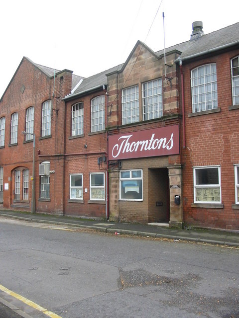
Despite its small size, Mount Pleasant offers a range of amenities and services to its residents. These include a primary school, a local pub, a village hall, and a post office. Additionally, the village benefits from good transport links, with regular bus services connecting it to nearby towns and cities.

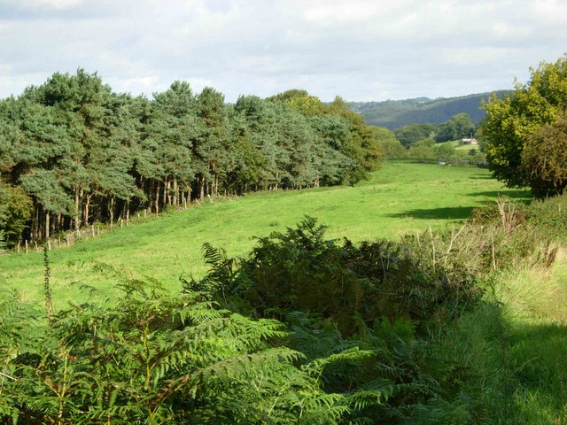
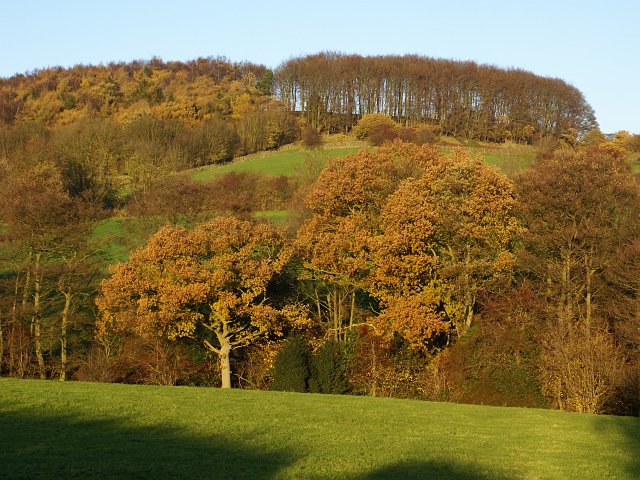
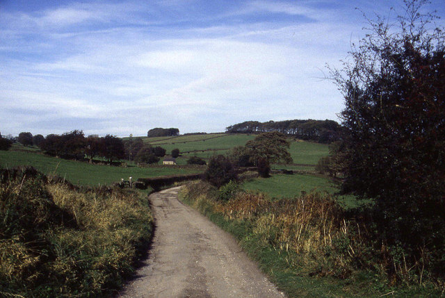
The surrounding area provides ample opportunities for outdoor activities, with several walking and cycling routes accessible from Mount Pleasant. The village is also conveniently located near the picturesque Peak District National Park, a popular destination for hiking, climbing, and exploring the natural beauty of the region.

Overall, Mount Pleasant offers a peaceful and idyllic setting for those seeking a tranquil village lifestyle, while still being within easy reach of larger urban areas and the stunning landscapes of the Peak District.

If you have any feedback on the listing, please let us know in the comments section below.

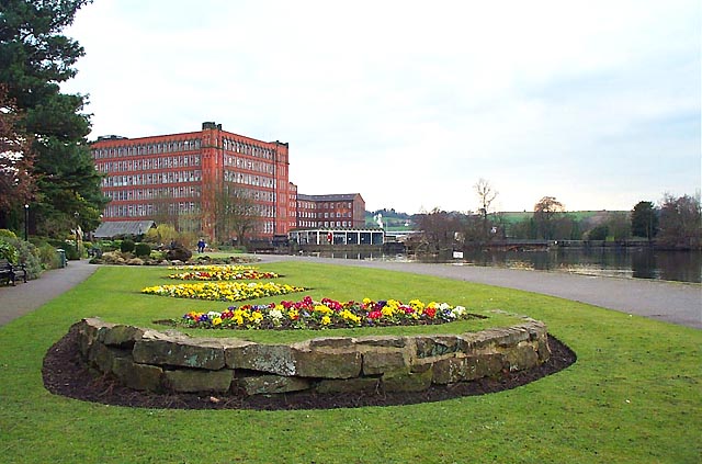
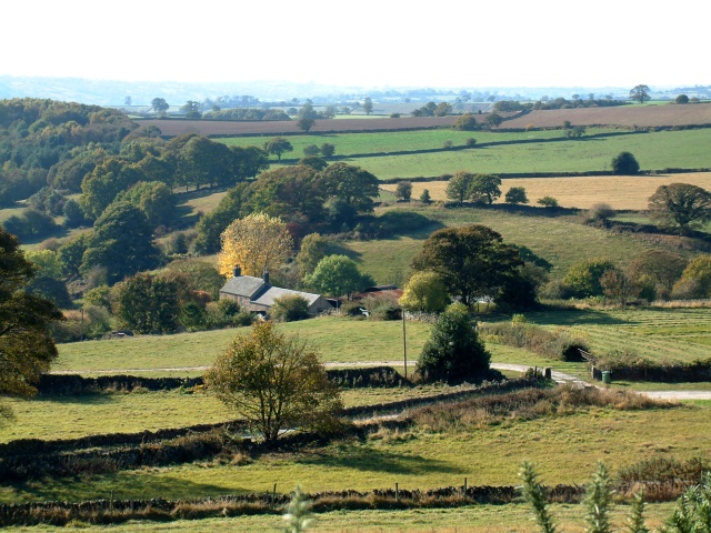
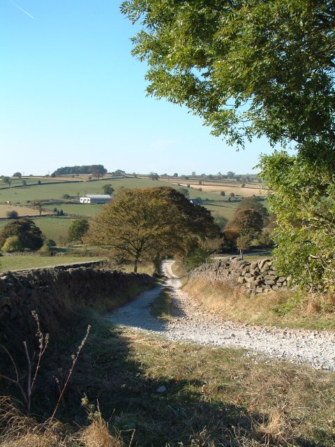
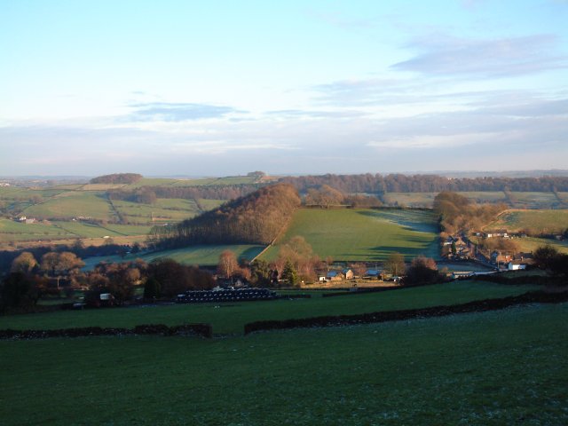
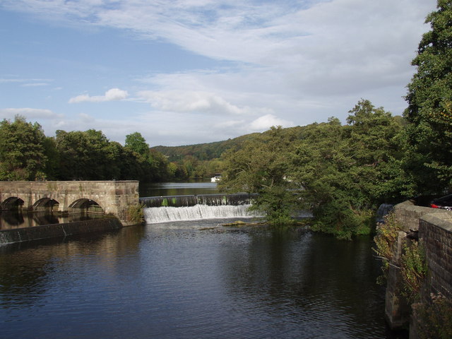
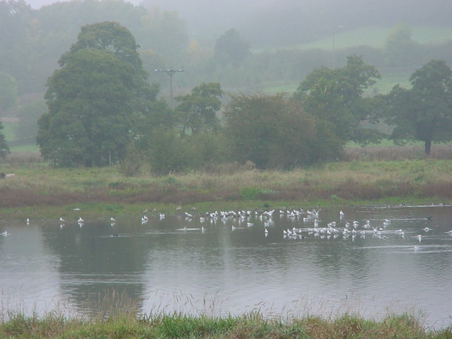
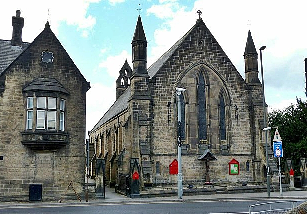
Mount Pleasant Images

Images are sourced within 2km of 53.035664/-1.4921805 or Grid Reference SK3448. Thanks to Geograph Open Source API. All images are credited.

Belper North Mill & River Gardens Mills in Belper were constructed by Jedediah Strutt from 1776. The original North Mill was built in 1786 but the building was destroyed by fire in 1803. Now part of Derwent Valley Mills World Heritage Site, the new mill built in 1804 is a forerunner of the modern skyscraper. Another member of the Strutt family, George Herbert created the gardens in 1905.
Belper North Mill & River Gardens
Mills in Belper were constructed by Jedediah Strutt from 1776. The original North Mill was built in 1786 but the building was destroyed by fire in 1803. Now part of Derwent Valley Mills World Heritage Site, the new mill built in 1804 is a forerunner of the modern skyscraper. Another member of the Strutt family, George Herbert created the gardens in 1905.
Farm buildings near Belper SK328493. Looking south-west from Longwalls Lane. The northern tip of Handley Wood is visible to the left.
Farm buildings near Belper
SK328493. Looking south-west from Longwalls Lane. The northern tip of Handley Wood is visible to the left.
Looking south along Longwalls Lane, part of the Midshires Way
View south-east of Belper Lane End Grid reference given is of the centre of the village; photographer position is the slightly off-square SK333494 (sorry!)
View south-east of Belper Lane End
Grid reference given is of the centre of the village; photographer position is the slightly off-square SK333494 (sorry!)
Wyver Lane Nature Reserve Important wetland reserve in landlocked Derbyshire.
<span class="nowrap"><a title="http://www.derbyshirewildlifetrust.org.uk/index.php?section=places:reserves&reserveid=297" rel="nofollow ugc noopener" href="http://www.derbyshirewildlifetrust.org.uk/index.php?section=places:reserves&reserveid=297">Link</a><img style="margin-left:2px;" alt="External link" title="External link - shift click to open in new window" src="https://s1.geograph.org.uk/img/external.png" width="10" height="10"/></span>
A misty October day but hopefully gives a feel of the bird life here
Wyver Lane Nature Reserve
Important wetland reserve in landlocked Derbyshire. LinkExternal link A misty October day but hopefully gives a feel of the bird life here
Fungi near Wyver Lane footpath Earth Star (Geastrum triplex). The reserve is not just about birds.
Fungi near Wyver Lane footpath
Earth Star (Geastrum triplex). The reserve is not just about birds.
Hank winder in Belper North Mill Museum I was expecting someone to have posted "main" pics for here and this to be a supplemental - I suppose I had better take a shot of the building proper later this week!
Anyway still adding associated interiors of museum.
Hank winder in Belper North Mill Museum
I was expecting someone to have posted "main" pics for here and this to be a supplemental - I suppose I had better take a shot of the building proper later this week! Anyway still adding associated interiors of museum.
Hosiery knitting exhibit  in the museum
Hosiery knitting exhibit in the museum
Hosiery exhibits in North Mill Museum Brettles hosiery on display - a local Belper company
Hosiery exhibits in North Mill Museum
Brettles hosiery on display - a local Belper company
East Mill, Belper Built 1912 but with a magnificent chimney from 1854. This was demolished in 1990 after suffering damage in a gale. The base is just visible. The engine house contained a turbine and is much smaller than you would expect. The site still uses water turbines on the Derwent to produce power for the grid.
East Mill, Belper
Built 1912 but with a magnificent chimney from 1854. This was demolished in 1990 after suffering damage in a gale. The base is just visible. The engine house contained a turbine and is much smaller than you would expect. The site still uses water turbines on the Derwent to produce power for the grid.
Belper Fire Station Belper Fire Station, Matlock Road, Belper, Derbyshire.
Belper Fire Station
Belper Fire Station, Matlock Road, Belper, Derbyshire.
Crich Lane, Belper Looking down towards the town centre.
Crich Lane, Belper
Looking down towards the town centre.
View near Broadholm To the west of Crich Lane, just north of the built-up area of Belper.
View near Broadholm
To the west of Crich Lane, just north of the built-up area of Belper.
Crossroads Farm at Blackbrook As the name suggests this farm sits on a busy crossroads on the main road between Belper and Ashbourne.
Crossroads Farm at Blackbrook
As the name suggests this farm sits on a busy crossroads on the main road between Belper and Ashbourne.
Former Thorntons Factory at Belper This is the former Thorntons chocolates factory in Belper.  The business was relocated to new premises at Alfreton in 1999 although the name is still closely associated with its original home in Belper where it provided employment for many local people.
Former Thorntons Factory at Belper
This is the former Thorntons chocolates factory in Belper. The business was relocated to new premises at Alfreton in 1999 although the name is still closely associated with its original home in Belper where it provided employment for many local people.
Handley Wood The footpath from Plains Lane leads down over Black Brook, shown by the first line of trees, up to Handley Woods. Further north, Plains Lane appears to end in a farmyard. Had I been brave enough to open the gate, maybe I would have found my way to Lambhouse Lane!
Handley Wood
The footpath from Plains Lane leads down over Black Brook, shown by the first line of trees, up to Handley Woods. Further north, Plains Lane appears to end in a farmyard. Had I been brave enough to open the gate, maybe I would have found my way to Lambhouse Lane!
Track above Belper Lane End We were following this track northwards to the west and above Belper Lane End.  This is part of the Midshires Way.  At the time I was assisting my brother in following the long distance footpath, which runs from the Ridgeway in the south to Stockport in the north
Track above Belper Lane End
We were following this track northwards to the west and above Belper Lane End. This is part of the Midshires Way. At the time I was assisting my brother in following the long distance footpath, which runs from the Ridgeway in the south to Stockport in the north
Weir on River Derwent Weir on Derwent close by Belper Mill
Weir on River Derwent
Weir on Derwent close by Belper Mill
Show me another place!

Mount Pleasant is located at Grid Ref: SK3448 (Lat: 53.035664, Lng: -1.4921805)

Administrative County: Derbyshire

District: Amber Va

Police Authority: Derbyshire

What 3 Words

///radar.guard.proposals. Near Belper, Derbyshire

Related Wikis

Wyver

Wyver is a locality within Belper civil parish, which is in the Amber Valley district of Derbyshire, England. The area takes up the western bank of the...

Belper North Mill

Belper North Mill, also known as Strutt's North Mill in Belper, is one of the Derwent Valley Mills, given UNESCO World Heritage Status in 2001. The mill...

Belper Lane End

Belper Lane End is a village in the civil parish of Belper, in the Amber Valley district, in the county of Derbyshire, England. == History == Belper lane...

Belper United F.C.

Belper United Football Club is a football club based in Belper, Derbyshire, England. They are currently members of the United Counties League Premier Division...

Belper Town F.C.

Belper Town Football Club is a football club based in Belper, Derbyshire, England. They are currently members of the Northern Premier League Division One...

Christ Church, Belper

Christ Church is a Grade II listed parish church in the Church of England in Belper, Derbyshire. == History == The church was built to the designs of the...

Belper Baptist Church

Belper Baptist Church is a Baptist Chapel on Bridge Street in Belper, Derbyshire, England. == History == The Baptist presence in Belper was formed from...

Belper railway station

Belper railway station serves the town of Belper in Derbyshire, England. The station is located on the Midland Main Line from London St Pancras to Leeds...

Nearby Amenities

Located within 500m of 53.035664,-1.4921805
Post Box
Brand: Royal Mail
Brand Wikidata: Q638098
Brand Wikipedia: en:Royal Mail
Operator: Royal Mail
Operator Wikidata: Q638098
Ref: DE56 325
Lat/Long: 53.0345746/-1.4900275
Ele: 116.6848145
Information: board
Tourism: information
Lat/Long: 53.0356675/-1.4924132
Bus Stop
Bus: yes
Ele: 111.6380615
Naptan AtcoCode: 1000DBBL4030
Naptan NaptanCode: dbsadtwg
Public Transport: platform
Lat/Long: 53.0352082/-1.4914391
Bus Stop
Bus: yes
Ele: 109.2347412
Public Transport: platform
Lat/Long: 53.0350967/-1.4909935
Bus Stop
Bus: yes
Ele: 88.8067627
Public Transport: platform
Lat/Long: 53.0333249/-1.488419
Bus Stop
Bus: yes
Ele: 129.6625977
Naptan AtcoCode: 1000DBBL5871
Naptan NaptanCode: dbsadtwj
Public Transport: platform
Lat/Long: 53.0367957/-1.4944408
Hill Top Stores
Addr City: Belper
Addr Postcode: DE56 2UJ
Addr Street: Belper Lane
Ele: 122.9333496
Fhrs Id: 1030
Shop: convenience
Lat/Long: 53.0361874/-1.4933649
Telephone
Booth: KX100
Covered: booth
Ele: 120.0494385
Lat/Long: 53.0358893/-1.4927315
Bus Stop
Bus: yes
Ele: 87.8454590
Naptan AtcoCode: 1000DBBL3048
Naptan NaptanCode: dbsadtpw
Public Transport: platform
Lat/Long: 53.0328635/-1.4881002
Ele: 134.9497070
Lat/Long: 53.0387098/-1.495106
Ele: 67.1773682
Lat/Long: 53.0385091/-1.489181
Barrier: stile
Ele: 87.1245117
Steps: 1
Stile: stepover
Lat/Long: 53.0346698/-1.486531
Board Type: wildlife
Check Date: 2022-03-13
Description: Wyver Lane Pool
Ele: 64.2934570
Information: board
Tourism: information
Lat/Long: 53.0386752/-1.4869306
Ele: 82.7987061
Lat/Long: 53.0350382/-1.4851208
Ele: 65.2547607
Lat/Long: 53.0382002/-1.486315
Ele: 74.3870850
Lat/Long: 53.0371866/-1.4859274
Ele: 60.6884766
Lat/Long: 53.0389615/-1.487398
Barrier: stile
Ele: 74.1467285
Material: wood
Steps: 2
Stile: stepover
Lat/Long: 53.0371979/-1.4858818
Barrier: stile
Ele: 83.0389404
Material: stone
Steps: 2
Stile: squeezer
Lat/Long: 53.0350334/-1.4851506
Ele: 82.0776367
Lat/Long: 53.0349609/-1.4851711
Barrier: stile
Ele: 90.0084229
Steps: 2
Stile: stepover
Lat/Long: 53.0344562/-1.4873707
Ele: 93.6134033
Lat/Long: 53.0337931/-1.4880262
Barrier: stile
Lat/Long: 53.0348539/-1.4989375
Mount Pleasant
Place: locality
Lat/Long: 53.0350838/-1.4974668
Bus Stop
Bus: yes
Public Transport: platform
Lat/Long: 53.0351941/-1.4928292
Power: pole
Source: Bing
Lat/Long: 53.0382806/-1.4864941
Power: pole
Source: Bing
Lat/Long: 53.0330141/-1.4862576
Power: pole
Source: Bing
Lat/Long: 53.036699/-1.4873951
Power: pole
Source: Bing
Lat/Long: 53.0361187/-1.4871711
Power: pole
Source: Bing
Lat/Long: 53.0377996/-1.4871133
Power: pole
Source: Bing
Lat/Long: 53.034691/-1.486617
Power: pole
Source: Bing
Lat/Long: 53.0338627/-1.4864402
Power: pole
Source: Bing
Lat/Long: 53.0373671/-1.487673
Power: pole
Source: Bing
Lat/Long: 53.035391/-1.4868719
Direction: SW
Generator Method: photovoltaic
Generator Output Electricity: yes
Generator Solar Modules: 16
Generator Source: solar
Generator Type: solar_photovoltaic_panel
Location: roof
Power: generator
Lat/Long: 53.0371376/-1.4953472
Direction: 215
Generator Method: photovoltaic
Generator Output Electricity: yes
Generator Solar Modules: 15
Generator Source: solar
Generator Type: solar_photovoltaic_panel
Location: roof
Power: generator
Lat/Long: 53.0332221/-1.4950351
Direction: ESE
Generator Method: photovoltaic
Generator Output Electricity: yes
Generator Solar Modules: 12
Generator Source: solar
Generator Type: solar_photovoltaic_panel
Location: roof
Power: generator
Lat/Long: 53.0321223/-1.4941429
Direction: SW
Generator Method: photovoltaic
Generator Output Electricity: yes
Generator Solar Modules: 7
Generator Source: solar
Generator Type: solar_photovoltaic_panel
Location: roof
Power: generator
Lat/Long: 53.0337034/-1.4905584
Direction: 145
Generator Method: photovoltaic
Generator Output Electricity: yes
Generator Solar Modules: 20
Generator Source: solar
Generator Type: solar_photovoltaic_panel
Location: roof
Power: generator
Lat/Long: 53.0320505/-1.4919931
Generator Method: photovoltaic
Generator Output Electricity: yes
Generator Source: solar
Generator Type: solar_photovoltaic_panel
Location: roof
Power: generator
Lat/Long: 53.0328885/-1.4884304
Generator Method: photovoltaic
Generator Output Electricity: yes
Generator Source: solar
Generator Type: solar_photovoltaic_panel
Location: roof
Power: generator
Lat/Long: 53.0318755/-1.4889958
Direction: SSE
Generator Method: photovoltaic
Generator Output Electricity: yes
Generator Solar Modules: 9
Generator Source: solar
Generator Type: solar_photovoltaic_panel
Location: roof
Power: generator
Lat/Long: 53.0312737/-1.4923123
Whitehouse Farm
Addr City: Belper
Addr Country: GB
Addr Housenumber: 153
Addr Postcode: DE56 2UJ
Addr Street: Belper Lane
Old Fhrs Id: 1032
Tourism: guest_house
Lat/Long: 53.0360304/-1.4931216
Leisure: pitch
Sport: basketball
Lat/Long: 53.0348691/-1.4921914
Street Lamp
Lat/Long: 53.035165/-1.4928899
Barrier: stile
Lat/Long: 53.0355927/-1.4985521
Generator Method: photovoltaic
Generator Output Electricity: yes
Generator Source: solar
Generator Type: solar_photovoltaic_panel
Location: roof
Power: generator
Lat/Long: 53.0331211/-1.4930444
Generator Method: photovoltaic
Generator Output Electricity: yes
Generator Source: solar
Generator Type: solar_photovoltaic_panel
Location: roof
Power: generator
Lat/Long: 53.0320241/-1.4896589
Street Lamp
Lat/Long: 53.0322224/-1.4930906
Man Made: utility_pole
Material: wood
Utility: telecom
Lat/Long: 53.0323401/-1.4931018
Man Made: utility_pole
Utility: telecom
Lat/Long: 53.0323603/-1.4873662
Wyver
Place: locality
Lat/Long: 53.0357186/-1.4860483
Power: pole
Lat/Long: 53.0361468/-1.499546
The data included in this document is from www.openstreetmap.org. The data is made available under ODbL.

Have you been to Mount Pleasant?

Leave your review of Mount Pleasant below (or comments, questions and feedback).