Bridgehill
Settlement in Derbyshire Amber Valley
England
Bridgehill
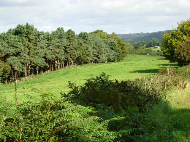
Bridgehill is a small village located in the county of Derbyshire, England. Situated in the Amber Valley district, it lies about 12 miles north of Derby and 3 miles southwest of Ripley. The village is nestled in a picturesque countryside setting, surrounded by rolling hills and green fields.
The origins of Bridgehill can be traced back to the 19th century when it developed as a mining community. Coal mining was the primary industry in the area, and the village grew around the colliery. However, with the decline of the coal industry in the mid-20th century, the colliery closed, and the village's economy shifted towards agriculture and other local businesses.
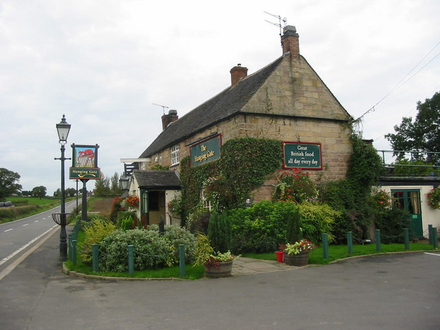
Today, Bridgehill is a peaceful residential area with a close-knit community. The village retains some of its historical charm, with a mix of traditional stone cottages and more modern houses. It boasts a small but welcoming village pub, providing a social hub for locals and visitors alike.
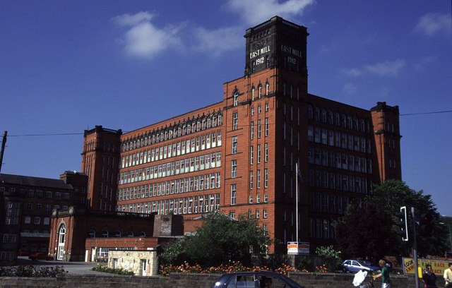
The surrounding countryside offers ample opportunities for outdoor activities such as hiking, cycling, and horse riding. Bridgehill is also conveniently located near several notable attractions, including the historic market town of Ripley and the picturesque Derwent Valley Mills, a UNESCO World Heritage Site.
Overall, Bridgehill is a tranquil village that appeals to those seeking a quiet rural lifestyle while remaining within easy reach of larger towns and amenities.
If you have any feedback on the listing, please let us know in the comments section below.
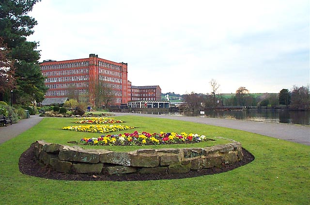
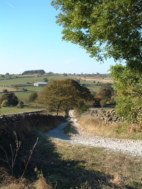
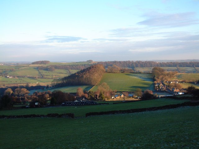
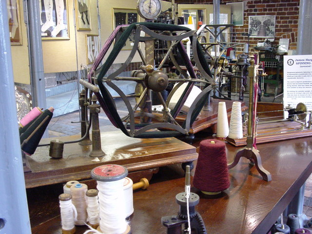
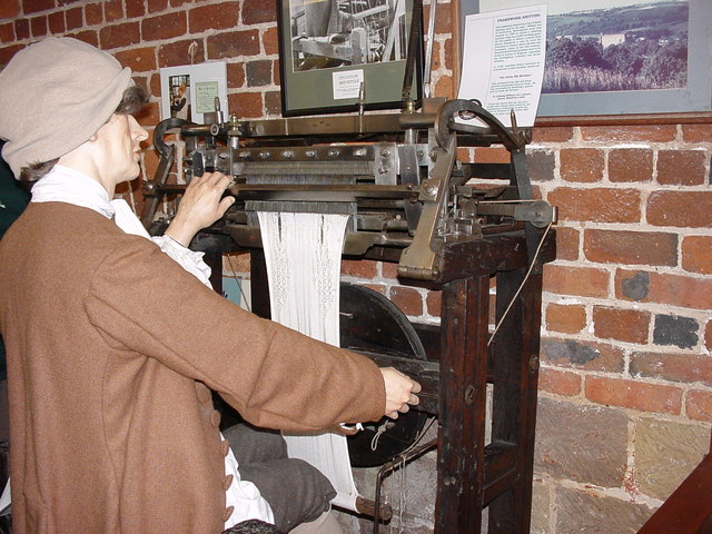
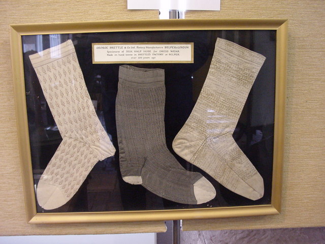
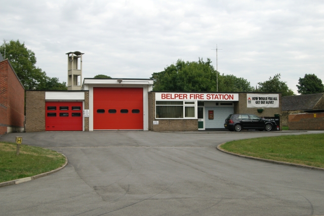
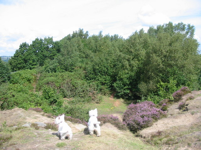
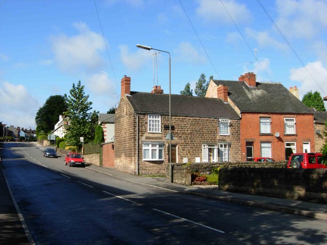
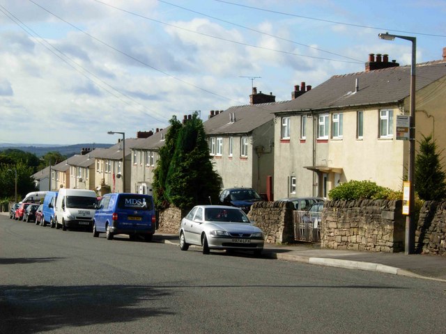
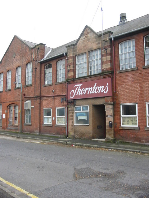
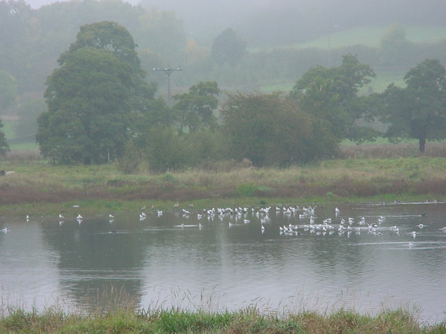
Bridgehill Images
Images are sourced within 2km of 53.030275/-1.4931385 or Grid Reference SK3448. Thanks to Geograph Open Source API. All images are credited.

Bridgehill is located at Grid Ref: SK3448 (Lat: 53.030275, Lng: -1.4931385)
Administrative County: Derbyshire
District: Amber Valley
Police Authority: Derbyshire
What 3 Words
///cobble.rots.boast. Near Belper, Derbyshire
Nearby Locations
Related Wikis

Belper North Mill
Belper North Mill, also known as Strutt's North Mill in Belper, is one of the Derwent Valley Mills, given UNESCO World Heritage Status in 2001. The mill...

Belper United F.C.
Belper United Football Club is a football club based in Belper, Derbyshire, England. They are currently members of the United Counties League Premier Division...

Belper Town F.C.
Belper Town Football Club is a football club based in Belper, Derbyshire, England. They are currently members of the Northern Premier League Division One...
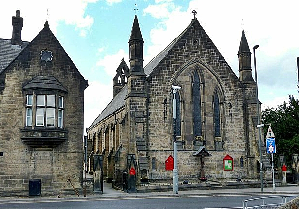
Christ Church, Belper
Christ Church is a Grade II listed parish church in the Church of England in Belper, Derbyshire. == History == The church was built to the designs of the...
Wyver
Wyver is a locality within Belper civil parish, which is in the Amber Valley district of Derbyshire, England. The area takes up the western bank of the...

Belper Baptist Church
Belper Baptist Church is a Baptist Chapel on Bridge Street in Belper, Derbyshire, England. == History == The Baptist presence in Belper was formed from...

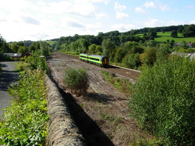
Belper railway station
Belper railway station serves the town of Belper in Derbyshire, England. The station is located on the Midland Main Line from London St Pancras to Leeds...

Belper Congregational Church
Belper Congregational Church is a Grade II listed former congregational chapel on Green Lane in Belper, Derbyshire. == History == It was built to replace...
Nearby Amenities
Located within 500m of 53.030275,-1.4931385Have you been to Bridgehill?
Leave your review of Bridgehill below (or comments, questions and feedback).