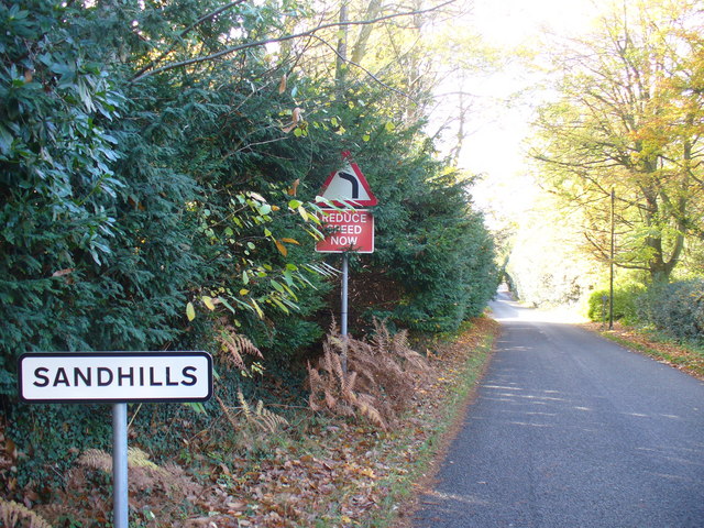
Sandhills
Settlement in Surrey Waverley
England
Sandhills
Sandhills is a small village located in the county of Surrey, England. Situated approximately 40 miles southwest of London, Sandhills is nestled between the larger towns of Woking and Guildford. It falls under the administrative district of Guildford and is part of the borough of Woking.
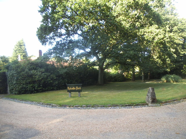
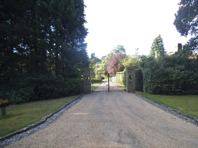
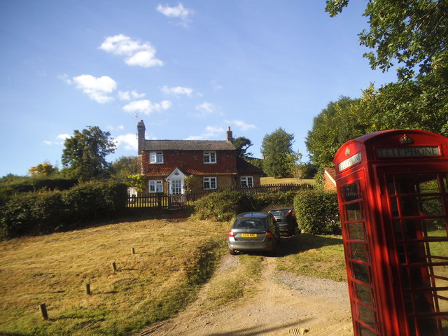
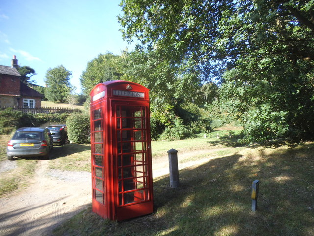
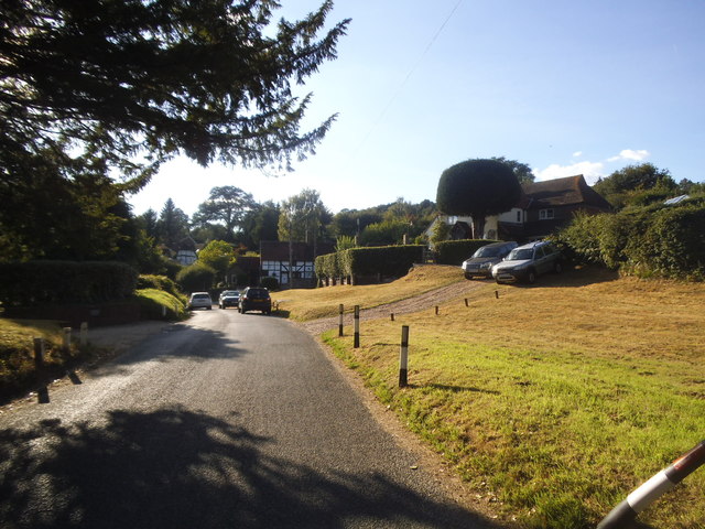
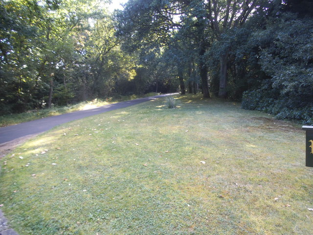
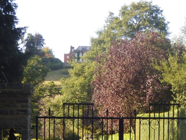
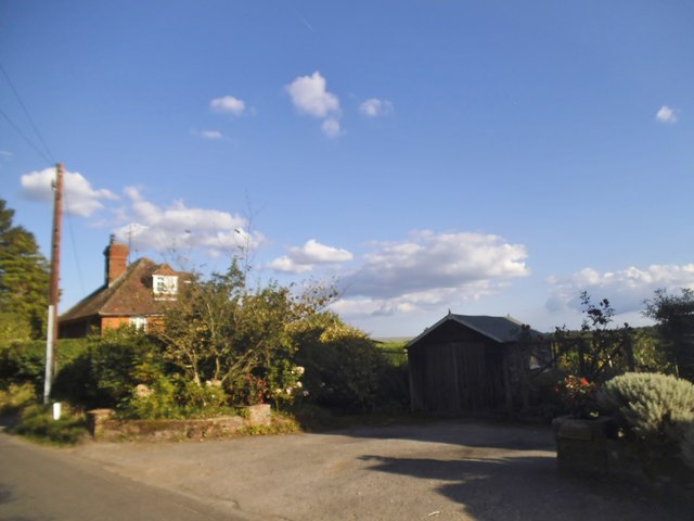
The village is characterized by its picturesque rural setting, with rolling hills, lush green fields, and dense woodland surrounding the area. It offers a peaceful and tranquil environment, making it an ideal place for those seeking an escape from the hustle and bustle of city life.
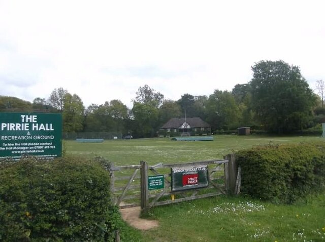
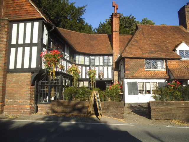
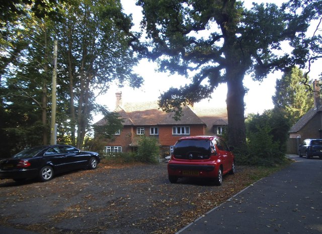
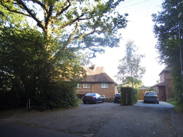
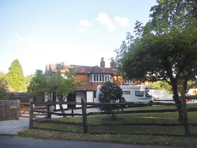
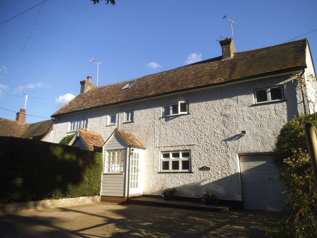
Sandhills is primarily a residential area, with a mix of traditional cottages and modern houses. The village is home to a small community of residents, fostering a close-knit and friendly atmosphere. The village amenities include a local pub, a village hall, and a nearby primary school.
The surrounding countryside provides ample opportunities for outdoor activities, such as hiking, cycling, and horse riding. The nearby Surrey Hills Area of Outstanding Natural Beauty offers stunning landscapes and panoramic views. Additionally, the village is in close proximity to popular attractions like RHS Garden Wisley and the historic Loseley Park.
Transport links are well-established in Sandhills, with easy access to major roads like the A3 and M25, providing convenient connections to London and other nearby towns. The village also benefits from a reliable bus service, ensuring easy commutes for residents.
Overall, Sandhills offers a tranquil and idyllic countryside living experience while providing convenient access to urban amenities and transport links.
If you have any feedback on the listing, please let us know in the comments section below.
Sandhills Images
Images are sourced within 2km of 51.134886/-0.660303 or Grid Reference SU9338. Thanks to Geograph Open Source API. All images are credited.


Sandhills is located at Grid Ref: SU9338 (Lat: 51.134886, Lng: -0.660303)
Administrative County: Surrey
District: Waverley
Police Authority: Surrey
What 3 Words
///trains.signified.comforted. Near Wormley, Surrey
Nearby Locations
Related Wikis
Sandhills, Surrey
Sandhills is a small hamlet located between the villages of Wormley and Brook in Surrey, UK. It is part of the Surrey Hills Area of Outstanding Beauty...

Brook, Surrey
Brook is a hamlet in the civil parish of Witley in the Waverley district in south-west Surrey. It is in the far west of Wormley, beyond Sandhills with...

Brook Brick Pit
Brook Brick Pit is a 0.9-hectare (2.2-acre) geological Site of Special Scientific Interest west of Wormley Surrey. It is a Geological Conservation Review...

Wormley, Surrey
Wormley is a village in Surrey, England in the parish of Witley, around Witley station, off the A283 Petworth Road about 5 km (3.1 mi) SSW of Godalming...

Witley railway station
Witley railway station is a station on the Portsmouth Direct Line in Surrey, England. It is 38 miles 36 chains (61.9 km) down the line from London Waterloo...

King Edward's School, Witley
King Edward's Witley is a private co-educational boarding and day school, founded in 1553 by King Edward VI and Nicholas Ridley, Bishop of London and Westminster...

Tigbourne Court
Tigbourne Court is an Arts and Crafts style country house in Wormley, Surrey, England, 1 mile (1.6 km) south of Witley. It was designed by architect Edwin...
Witley Park
Witley Park, formerly known as Lea Park, is an estate dating from the 19th-century between Godalming and Haslemere, Surrey, England. Its landscaped grounds...
Nearby Amenities
Located within 500m of 51.134886,-0.660303Have you been to Sandhills?
Leave your review of Sandhills below (or comments, questions and feedback).