Banacle Firs
Wood, Forest in Surrey Waverley
England
Banacle Firs
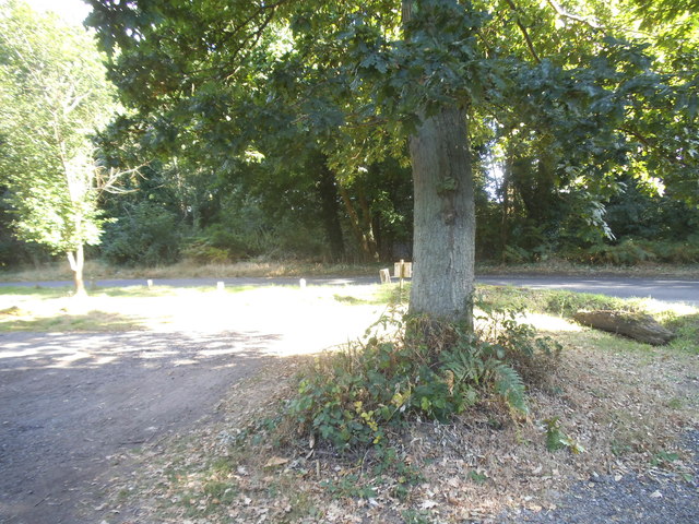
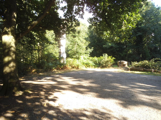
Banacle Firs is a woodland located in the county of Surrey, England. Situated in the southern part of the county, it covers an area of approximately 100 acres. The woodland is primarily composed of a mix of coniferous and deciduous trees, creating a diverse and picturesque landscape.
The name "Banacle Firs" is derived from the presence of numerous firs, particularly balsam firs, which dominate certain areas of the woodland. These majestic trees provide a dense canopy, offering shade and shelter to a wide array of wildlife.
The forest is home to a variety of plant and animal species, making it a popular destination for nature enthusiasts and wildlife photographers. The woodland floor is adorned with carpets of bluebells, wild garlic, and primroses during the spring, creating a vibrant and colorful display.
Banacle Firs offers several walking trails and paths, allowing visitors to explore the woodland and enjoy its peaceful ambiance. The trails wind through the trees, offering glimpses of picturesque ponds and meandering streams along the way.
The woodland is also home to a rich bird population, with species such as woodpeckers, nightingales, and owls frequently spotted by keen birdwatchers. Mammals such as deer, foxes, and squirrels can also be encountered within the forested area.
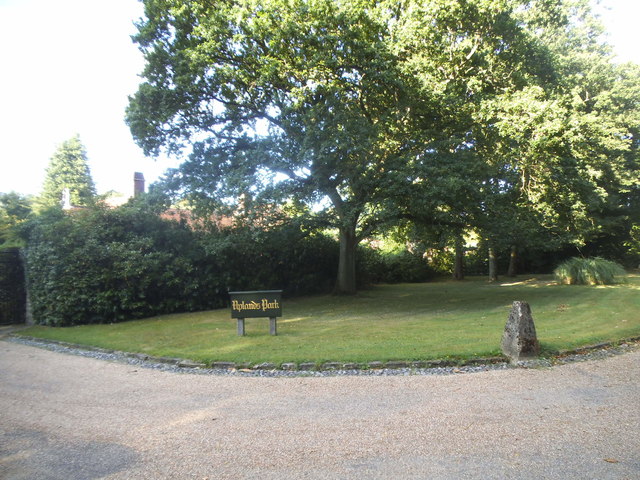
Banacle Firs is managed by the local authorities, who ensure the preservation and maintenance of this natural sanctuary. Its accessibility, diverse ecosystem, and scenic beauty make it a cherished location for both locals and tourists seeking a tranquil escape in the heart of Surrey's countryside.
If you have any feedback on the listing, please let us know in the comments section below.
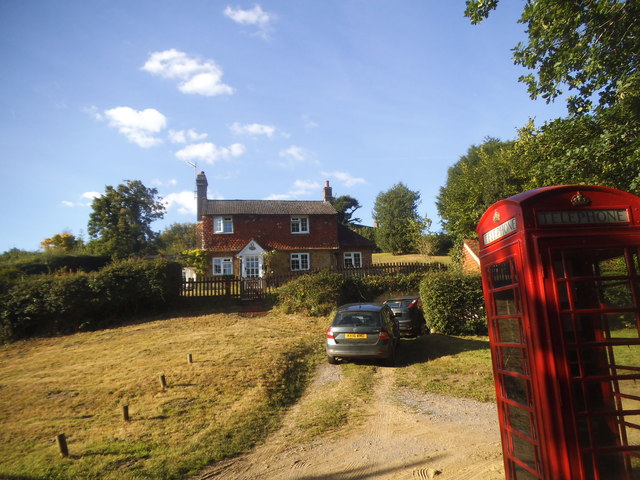
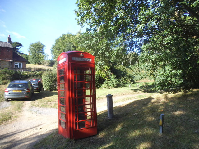
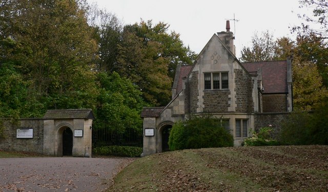
Banacle Firs Images
Images are sourced within 2km of 51.135387/-0.66499948 or Grid Reference SU9338. Thanks to Geograph Open Source API. All images are credited.


Banacle Firs is located at Grid Ref: SU9338 (Lat: 51.135387, Lng: -0.66499948)
Administrative County: Surrey
District: Waverley
Police Authority: Surrey
What 3 Words
///pens.awestruck.forgives. Near Wormley, Surrey
Nearby Locations
Related Wikis
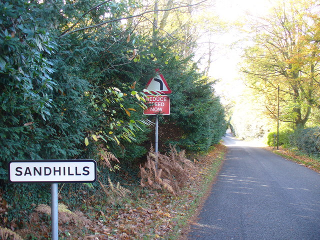
Sandhills, Surrey
Sandhills is a small hamlet located between the villages of Wormley and Brook in Surrey, UK. It is part of the Surrey Hills Area of Outstanding Beauty...

Brook, Surrey
Brook is a hamlet in the civil parish of Witley in the Waverley district in south-west Surrey. It is in the far west of Wormley, beyond Sandhills with...

Brook Brick Pit
Brook Brick Pit is a 0.9-hectare (2.2-acre) geological Site of Special Scientific Interest west of Wormley Surrey. It is a Geological Conservation Review...

Wormley, Surrey
Wormley is a village in Surrey, England in the parish of Witley, around Witley station, off the A283 Petworth Road about 5 km (3.1 mi) SSW of Godalming...

Witley railway station
Witley railway station is a station on the Portsmouth Direct Line in Surrey, England. It is 38 miles 36 chains (61.9 km) down the line from London Waterloo...

King Edward's School, Witley
King Edward's Witley is a private co-educational boarding and day school, founded in 1553 by King Edward VI and Nicholas Ridley, Bishop of London and Westminster...
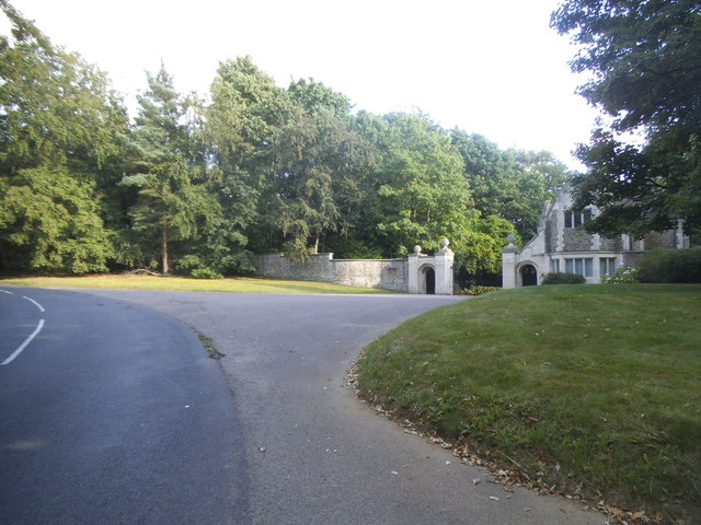
Witley Park
Witley Park, formerly known as Lea Park, is an estate dating from the 19th-century between Godalming and Haslemere, Surrey, England. Its landscaped grounds...

Witley
Witley is a village and civil parish in the Borough of Waverley in Surrey, England centred 2.6 miles (4 km) south west of the town of Godalming and 6.6...
Nearby Amenities
Located within 500m of 51.135387,-0.66499948Have you been to Banacle Firs?
Leave your review of Banacle Firs below (or comments, questions and feedback).