Brook
Settlement in Surrey Waverley
England
Brook
Brook is a small village located in the county of Surrey, England. Situated in the southeastern region of the country, it falls within the borough of Waverley. With a population of around 800 people, it exudes a charming and close-knit community atmosphere.
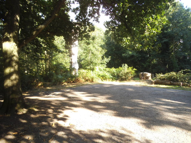
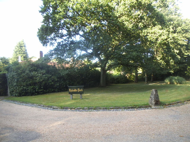
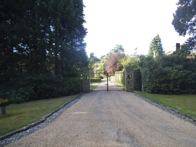
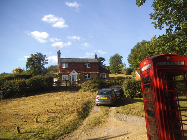
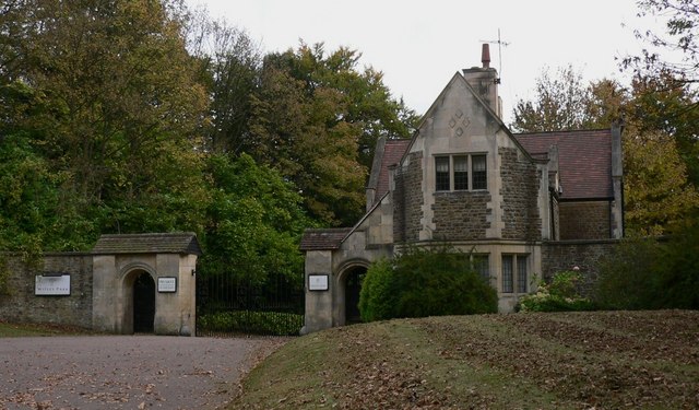
One of the defining features of Brook is its picturesque surroundings. Nestled in the beautiful Surrey Hills, it offers residents and visitors alike the opportunity to explore the stunning natural landscapes that encompass the area. The village itself is characterized by its traditional English architecture, with quaint cottages and historic buildings dotting the streets.
Despite its small size, Brook boasts a range of amenities for its residents. It has a primary school, a village hall, and a local pub that serves as a social hub for the community. The village also benefits from its proximity to nearby towns, such as Godalming and Guildford, which provide additional shopping, leisure, and educational facilities.
Furthermore, Brook is a haven for outdoor enthusiasts. The Surrey Hills Area of Outstanding Natural Beauty offers an array of walking and cycling routes, providing opportunities to explore the local countryside. Additionally, the nearby River Wey offers fishing and boating activities, further enhancing the village's appeal to nature lovers.
Overall, Brook, Surrey, is a small but vibrant village that offers a tranquil and idyllic setting for its residents. Its natural beauty, community spirit, and convenient location make it an attractive place to live, as well as a popular destination for those seeking a peaceful retreat in the heart of the Surrey countryside.
If you have any feedback on the listing, please let us know in the comments section below.
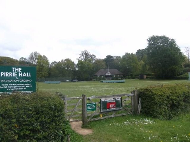
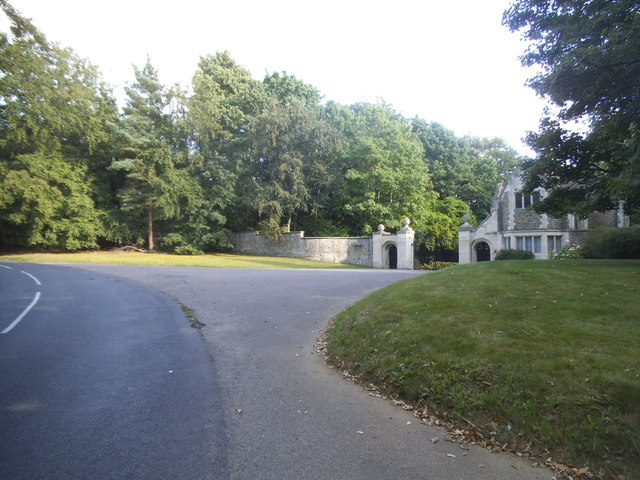
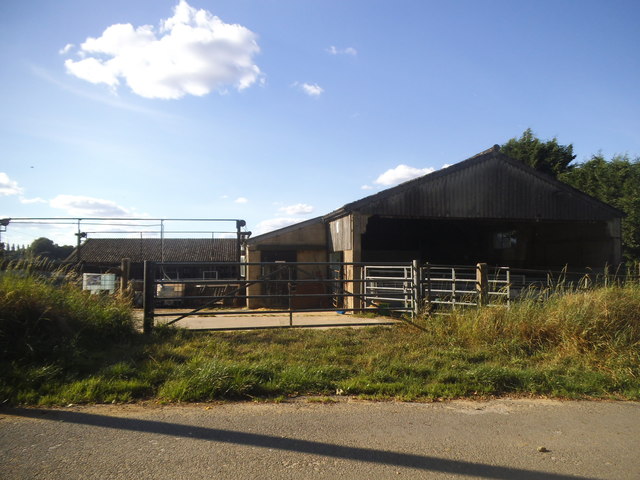
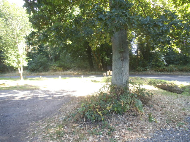
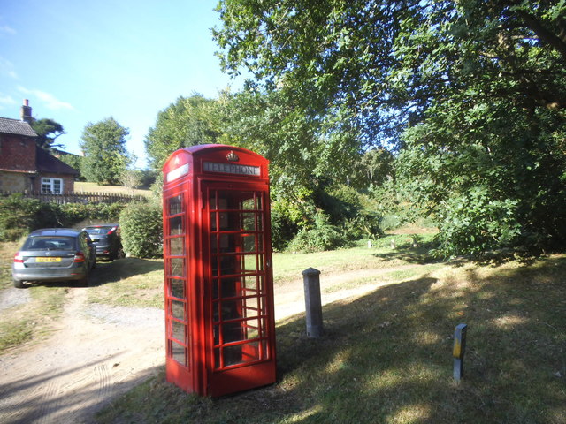
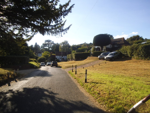
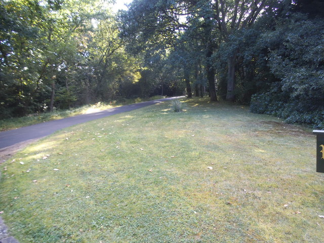
Brook Images
Images are sourced within 2km of 51.134389/-0.671895 or Grid Reference SU9338. Thanks to Geograph Open Source API. All images are credited.


Brook is located at Grid Ref: SU9338 (Lat: 51.134389, Lng: -0.671895)
Administrative County: Surrey
District: Waverley
Police Authority: Surrey
What 3 Words
///yards.marketing.tinsel. Near Wormley, Surrey
Nearby Locations
Related Wikis

Brook, Surrey
Brook is a hamlet in the civil parish of Witley in the Waverley district in south-west Surrey. It is in the far west of Wormley, beyond Sandhills with...

Brook Brick Pit
Brook Brick Pit is a 0.9-hectare (2.2-acre) geological Site of Special Scientific Interest west of Wormley Surrey. It is a Geological Conservation Review...
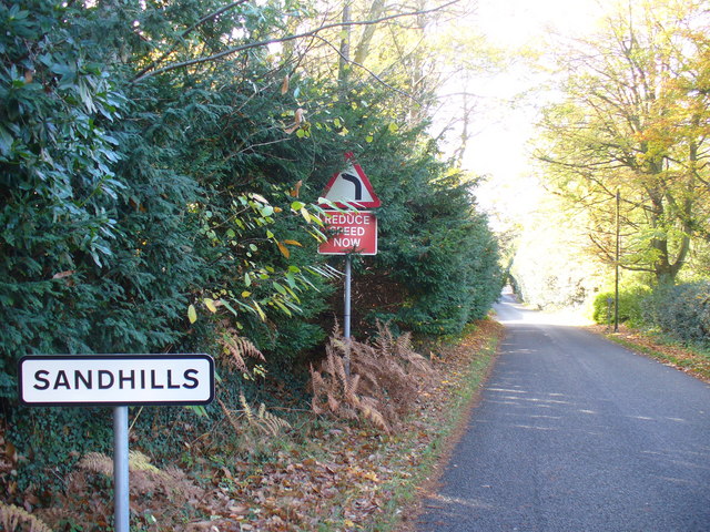
Sandhills, Surrey
Sandhills is a small hamlet located between the villages of Wormley and Brook in Surrey, UK. It is part of the Surrey Hills Area of Outstanding Beauty...
Witley Park
Witley Park, formerly known as Lea Park, is an estate dating from the 19th-century between Godalming and Haslemere, Surrey, England. Its landscaped grounds...

Wormley, Surrey
Wormley is a village in Surrey, England in the parish of Witley, around Witley station, off the A283 Petworth Road about 5 km (3.1 mi) SSW of Godalming...

Witley railway station
Witley railway station is a station on the Portsmouth Direct Line in Surrey, England. It is 38 miles 36 chains (61.9 km) down the line from London Waterloo...

King Edward's School, Witley
King Edward's Witley is a private co-educational boarding and day school, founded in 1553 by King Edward VI and Nicholas Ridley, Bishop of London and Westminster...

Witley Camp
Witley Military Camp, often simplified to Camp Witley, was a temporary army camp set up on Witley Common, Surrey, England during both the First and Second...
Nearby Amenities
Located within 500m of 51.134389,-0.671895Have you been to Brook?
Leave your review of Brook below (or comments, questions and feedback).