Sandhoe

Settlement in Northumberland

England

Sandhoe

Fawcet Hill
Fawcet Hill Credit: Oliver Dixon

The requested URL returned error: 429 Too Many Requests

If you have any feedback on the listing, please let us know in the comments section below.
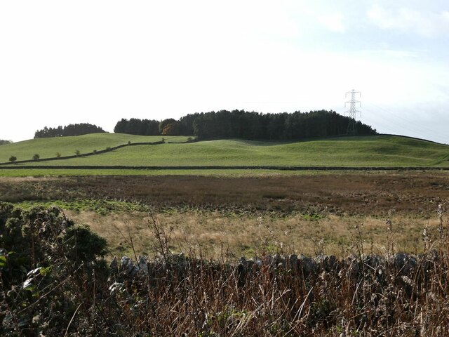
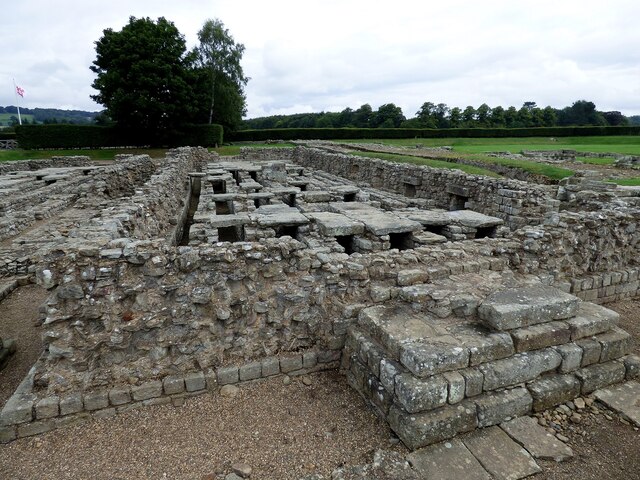
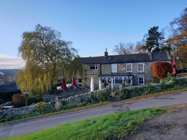
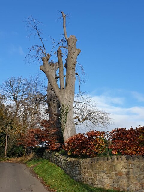
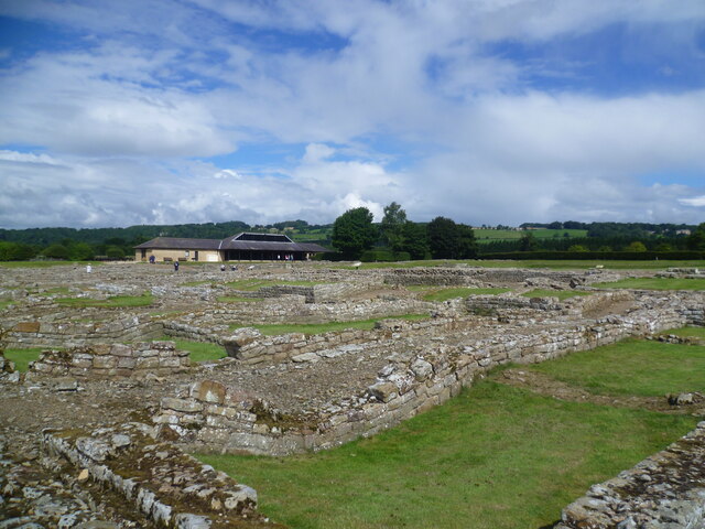
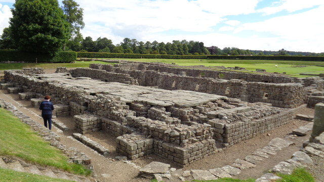
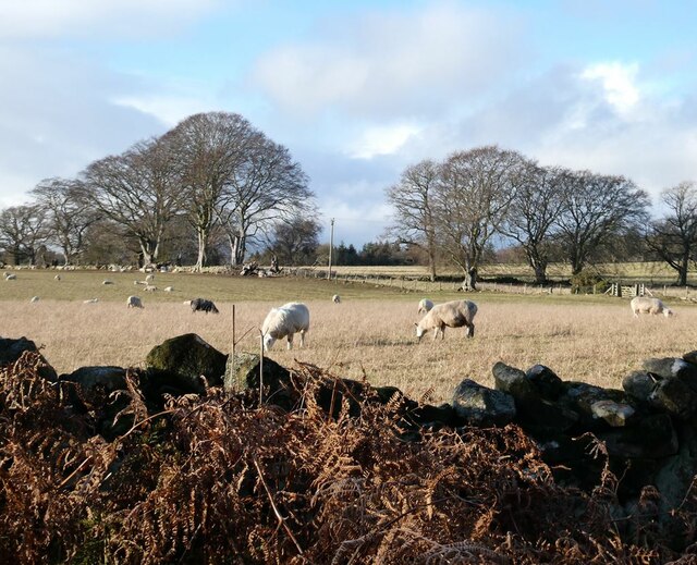
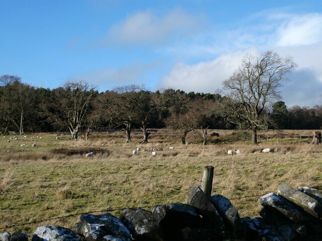
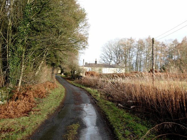
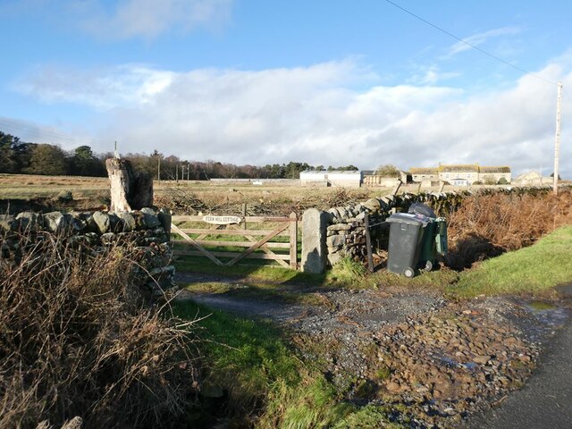
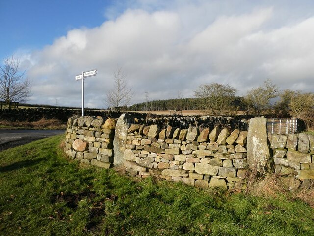
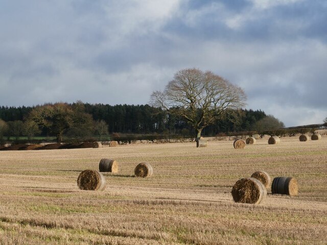
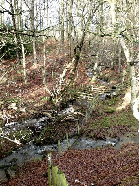
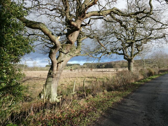
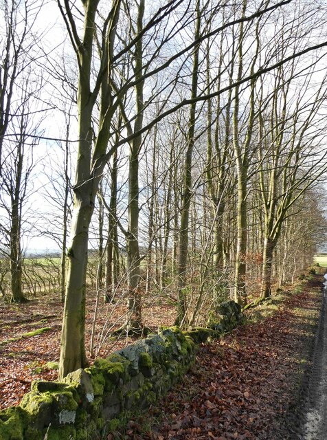
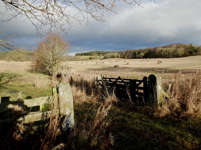
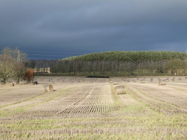
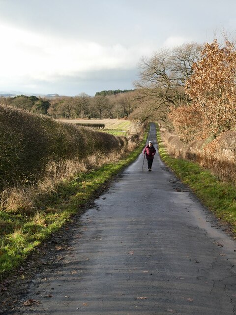
Sandhoe Images

Images are sourced within 2km of 54.991274/-2.046541 or Grid Reference NY9766. Thanks to Geograph Open Source API. All images are credited.

Fawcet Hill
Fawcet Hill
Granary at Roman Corbridge Located 2.5 miles (4.0 km) south of Hadrian's Wall and sitting astride the intersection of Roman Dere Street and Stanegate, Corbridge was initially the site of a series of important forts. But after Hadrian's Wall was fully commissioned it developed into a prosperous town.
 
Abandoned after the collapse of Roman rule in Britain, the town centre has been systematically excavated. It is currently in the guardianship of English Heritage and is open as a visitor attraction, including a site museum. 

<span class="nowrap"><a title="http://www.english-heritage.org.uk/corbridge" rel="nofollow ugc noopener" href="http://www.english-heritage.org.uk/corbridge">Link</a><img style="margin-left:2px;" alt="External link" title="External link - shift click to open in new window" src="https://s1.geograph.org.uk/img/external.png" width="10" height="10"/></span>
Granary at Roman Corbridge
Located 2.5 miles (4.0 km) south of Hadrian's Wall and sitting astride the intersection of Roman Dere Street and Stanegate, Corbridge was initially the site of a series of important forts. But after Hadrian's Wall was fully commissioned it developed into a prosperous town. Abandoned after the collapse of Roman rule in Britain, the town centre has been systematically excavated. It is currently in the guardianship of English Heritage and is open as a visitor attraction, including a site museum. LinkExternal link
"The Rat" at Anick Despite its unpromising name, this pub has a very good reputation. Spectacularly site on a steep hillside overlooking Tynedale. For the present, closed on Sundays, as here.
"The Rat" at Anick
Despite its unpromising name, this pub has a very good reputation. Spectacularly site on a steep hillside overlooking Tynedale. For the present, closed on Sundays, as here.
Lopped trees at Anick
Roman Remains View over the east military compound, with the visitor centre in the background
Roman Remains
View over the east military compound, with the visitor centre in the background
Granary Roman Remains Close to the visitor centre
Granary Roman Remains
Close to the visitor centre
Field of sheep near Beaufront School
Field and plantation near Fern Hill Cottage The line of trees may represent an old hedge line.
Field and plantation near Fern Hill Cottage
The line of trees may represent an old hedge line.
The lane to Fawcett Hill The house on the right is known as the Kennels.
The lane to Fawcett Hill
The house on the right is known as the Kennels.
Gateway to Fern Hill Cottage Fern Hill Farm beyond.
Gateway to Fern Hill Cottage
Fern Hill Farm beyond.
Signpost on the road from Oakwood to the Military Road
Field of bales Seen from the lane to Fawcett Hill.
Field of bales
Seen from the lane to Fawcett Hill.
Confluence on the Birkey Burn In full spate after very heavy rain the previous night. Birkey Burn is the stream which zig-zags down through the trees.
Confluence on the Birkey Burn
In full spate after very heavy rain the previous night. Birkey Burn is the stream which zig-zags down through the trees.
Gnarly trees beside the lane to Fawcett Hill
Broadleaf plantation Beside the lane from Acomb to Fawcett Hill.
Broadleaf plantation
Beside the lane from Acomb to Fawcett Hill.
Gateway beside the lane to Fawcett Hill
Field of bales Beside the lane to Fawcett Hill. The plantation stands beside the Birkey Burn.
Field of bales
Beside the lane to Fawcett Hill. The plantation stands beside the Birkey Burn.
The lane from Fawcett Hill to Oakwood
Show me another place!

Sandhoe is located at Grid Ref: NY9766 (Lat: 54.991274, Lng: -2.046541)

Unitary Authority: Northumberland

Police Authority: Northumbria

What 3 Words

///fooling.amended.riverbed. Near Corbridge, Northumberland

Nearby Locations

Sandhoe

Related Wikis

Sandhoe

Sandhoe is a hamlet and civil parish in Northumberland, England. It lies about 3 kilometres (2 mi) northwest of Corbridge and 3 kilometres south of Hadrian...

Sandhoe Hall

Sandhoe Hall, also once known as Sandhoe House, is a 19th-century country house situated at Sandhoe, Northumberland. It is a Grade II listed building.The...
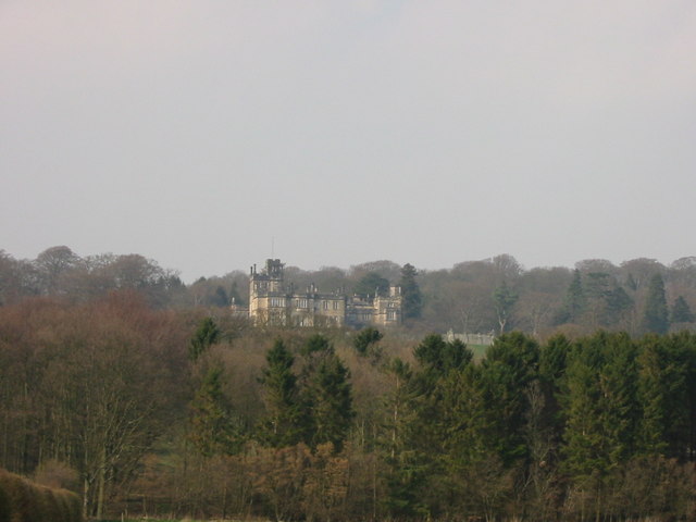
Beaufront Castle

Beaufront Castle is a privately owned 19th-century country house near Hexham, Northumberland, England. It is a Grade I listed building.A pele tower was...

Coria (Corbridge)

Coria was a fort and town 2.5 miles (4.0 km) south of Hadrian's Wall, in the Roman province of Britannia on the junction of a major Roman north–south road...

Nearby Amenities

Located within 500m of 54.991274,-2.046541
Sandhoe
Is In: UK, England, Northumberland, Tynevale
Is In Country Code: GB
Is In County: Northumberland
Place: hamlet
Source: NPE
Lat/Long: 54.9913821/-2.0476387
Post Box
Ref: NE46 4
Lat/Long: 54.9909442/-2.0483659
The data included in this document is from www.openstreetmap.org. The data is made available under ODbL.

Have you been to Sandhoe?

Leave your review of Sandhoe below (or comments, questions and feedback).