Salem

Settlement in Lancashire

England

Salem

A672 Ripponden Road at Collett Street
A672 Ripponden Road at Collett Street Credit: Colin Pyle

Salem is a small village located in the county of Lancashire, in the northwest of England. Situated about 4 miles southeast of the town of Burnley, Salem is nestled within the beautiful countryside of the Pennine Hills. This picturesque village is known for its idyllic surroundings and tranquil atmosphere.

Salem has a rich history dating back several centuries. The village was originally established as a farming community, and remnants of its agricultural past can still be seen today. Traditional stone cottages and farmhouses dot the landscape, creating a charming and rustic ambiance.

Despite its small size, Salem offers a range of amenities to its residents. The village has a local primary school, providing education for the younger population. Additionally, there is a village hall that serves as a hub for community events and gatherings.

The natural beauty surrounding Salem attracts outdoor enthusiasts and nature lovers. The rolling hills and lush greenery provide ample opportunities for hiking, cycling, and exploring the countryside. Nearby attractions include the scenic Pendle Hill, known for its associations with the historic Pendle Witch Trials.

Transportation in Salem is primarily reliant on private vehicles, as the village is not served by a railway station. However, there are regular bus services connecting Salem to nearby towns and cities.

In conclusion, Salem, Lancashire offers a peaceful and picturesque retreat for both residents and visitors, with its historic charm and stunning natural landscapes.

If you have any feedback on the listing, please let us know in the comments section below.
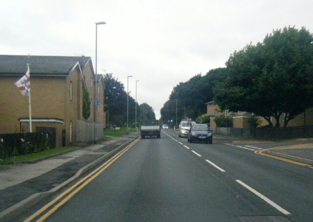
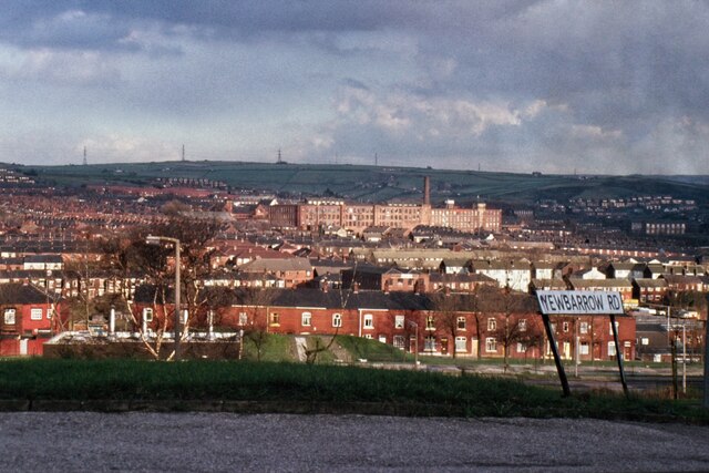
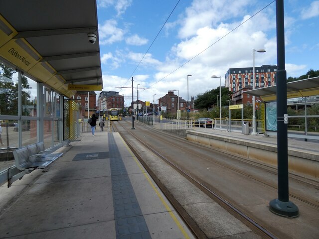
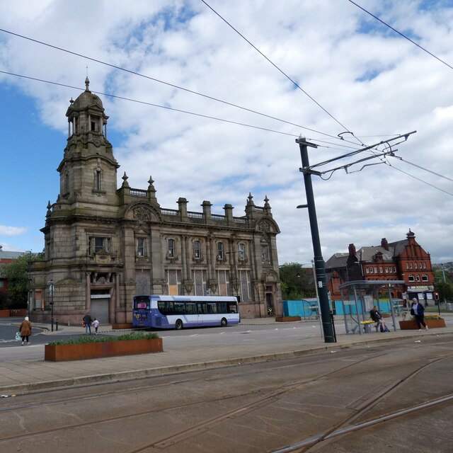
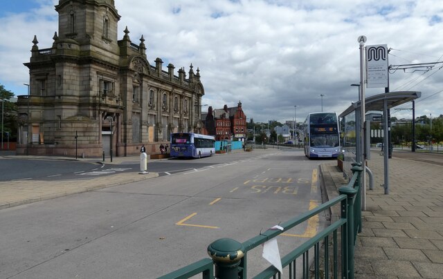
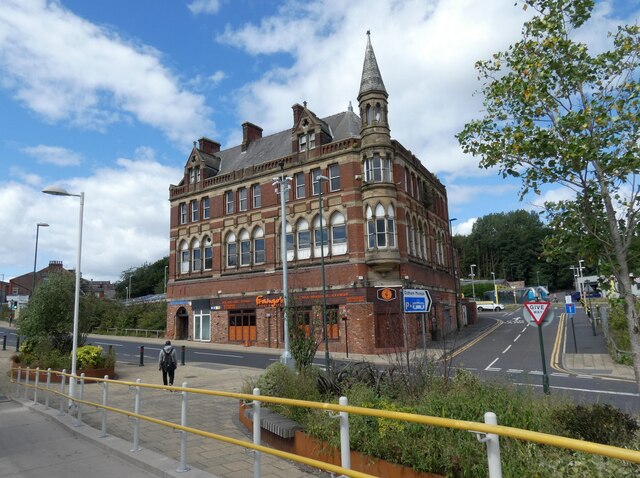
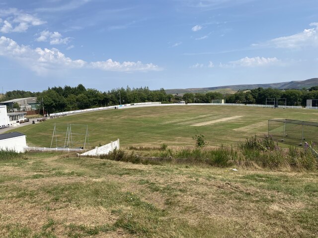
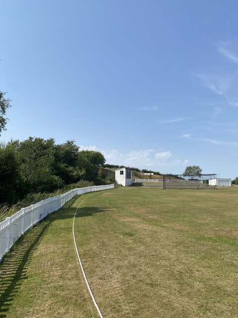
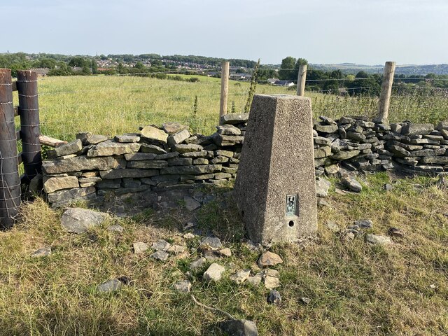
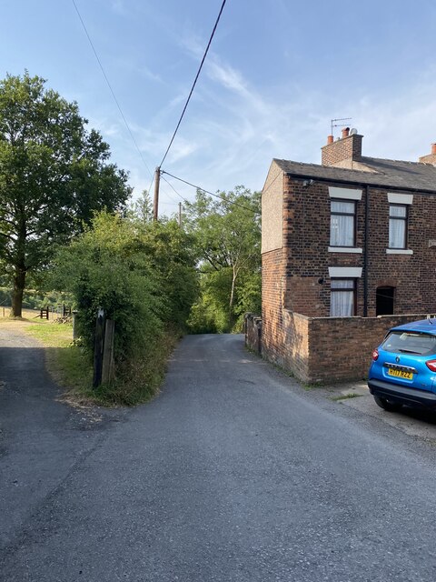
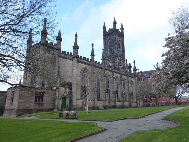
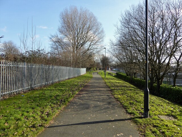
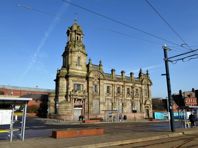
Salem Images

Images are sourced within 2km of 53.537382/-2.083709 or Grid Reference SD9404. Thanks to Geograph Open Source API. All images are credited.

A672 Ripponden Road at Collett Street
Egerton Street at Bridgewater Street, Mumps
Derker Mills, Oldham
Oldham Mumps Tram Stop 
A railway line from Manchester to Oldham was opened in 1847. In 1863 the line was extended to Rochdale. Railway operations ended on 3 October 2009, and the Oldham Loop Line was closed for conversion to Matrolink. The line was completely rebuilt, with all of the former infrastructure, including the former stations and station buildings demolished, and replaced, and overhead wiring added. The line was re-opened in phases: Tram services started on 13 June 2012 between Manchester and Oldham Mumps: As a temporary measure, until the town centre line was completed, the former railway line through Oldham Mumps was retained, and a temporary tram stop constructed in place of the former railway station. A permanent stop called Oldham Mumps was later opened on the town centre line in a different location. Services were extended to Shaw and Crompton on 16 December 2012, and to Rochdale Railway Station on 28 February 2013. The Oldham town centre line opened on 27 January 2014, allowing the section of former railway line, and temporary stop at Oldham Mumps to be permanently closed. The Rochdale town centre line opened on 31 March 2014.
Oldham Mumps Tram Stop
A railway line from Manchester to Oldham was opened in 1847. In 1863 the line was extended to Rochdale. Railway operations ended on 3 October 2009, and the Oldham Loop Line was closed for conversion to Matrolink. The line was completely rebuilt, with all of the former infrastructure, including the former stations and station buildings demolished, and replaced, and overhead wiring added. The line was re-opened in phases: Tram services started on 13 June 2012 between Manchester and Oldham Mumps: As a temporary measure, until the town centre line was completed, the former railway line through Oldham Mumps was retained, and a temporary tram stop constructed in place of the former railway station. A permanent stop called Oldham Mumps was later opened on the town centre line in a different location. Services were extended to Shaw and Crompton on 16 December 2012, and to Rochdale Railway Station on 28 February 2013. The Oldham town centre line opened on 27 January 2014, allowing the section of former railway line, and temporary stop at Oldham Mumps to be permanently closed. The Rochdale town centre line opened on 31 March 2014.
Former NatWest bank 
The Grade II listed former bank <span class="nowrap"><a title="https://historicengland.org.uk/listing/the-list/list-entry/1201682?section=official-list-entry" rel="nofollow ugc noopener" href="https://historicengland.org.uk/listing/the-list/list-entry/1201682?section=official-list-entry">Link</a><img style="margin-left:2px;" alt="External link" title="External link - shift click to open in new window" src="https://s1.geograph.org.uk/img/external.png" width="10" height="10"/></span> at Mumps dates from 1902. The bank, originally the Manchester and County, was created by renowned Manchester architects Mills & Murgatroyd. It featured a unique baroque copper-crowned tower and a polished red granite base. Inside, the banking hall housed a 50ft mahogany counter. The bank was taken over by NatWest in 1970. In 1995 it was closed when NatWest merged their Mumps and Yorkshire Street branches. It was put on the market for £170,000. Plans the following year to turn the building into a pub fell through. Several later refurbishment plans have also failed. The building is a focal point within the bus/metrolink tram interchange.
Former NatWest bank
The Grade II listed former bank LinkExternal link at Mumps dates from 1902. The bank, originally the Manchester and County, was created by renowned Manchester architects Mills & Murgatroyd. It featured a unique baroque copper-crowned tower and a polished red granite base. Inside, the banking hall housed a 50ft mahogany counter. The bank was taken over by NatWest in 1970. In 1995 it was closed when NatWest merged their Mumps and Yorkshire Street branches. It was put on the market for £170,000. Plans the following year to turn the building into a pub fell through. Several later refurbishment plans have also failed. The building is a focal point within the bus/metrolink tram interchange.
Mumps transport interchange 
Next to the Metrolink tram stop at Mumps are several bus stops. On the left is  the Grade II listed former NatWest bank <span class="nowrap"><a title="https://historicengland.org.uk/listing/the-list/list-entry/1201682?section=official-list-entry" rel="nofollow ugc noopener" href="https://historicengland.org.uk/listing/the-list/list-entry/1201682?section=official-list-entry">Link</a><img style="margin-left:2px;" alt="External link" title="External link - shift click to open in new window" src="https://s1.geograph.org.uk/img/external.png" width="10" height="10"/></span> <a href="https://www.geograph.org.uk/photo/7263233">SD9305 : Former NatWest bank</a>.
Mumps transport interchange
Next to the Metrolink tram stop at Mumps are several bus stops. On the left is the Grade II listed former NatWest bank LinkExternal link SD9305 : Former NatWest bank.
17-21 Mumps 
Only the ground floor of this three storey building are currently occupied. Before becoming Frango's this was Fusion 21. Before that the right hand portion had been Kava and the left hand portion  the site office for Westshield. Before Westshield that part had been The Hair Lounge. Around 2012 the right hand side was called  Langham House. In 2009 the building was home to a photography studio Xpressions. All the adjoining buildings towards Yorkshire Street were demolished around 2016. There are plans to convert the upper storeys into apartments.
17-21 Mumps
Only the ground floor of this three storey building are currently occupied. Before becoming Frango's this was Fusion 21. Before that the right hand portion had been Kava and the left hand portion the site office for Westshield. Before Westshield that part had been The Hair Lounge. Around 2012 the right hand side was called Langham House. In 2009 the building was home to a photography studio Xpressions. All the adjoining buildings towards Yorkshire Street were demolished around 2016. There are plans to convert the upper storeys into apartments.
Cricket Pitch
Cricket Pitch
Slack Hall Trig Point Flush Bracket S2785
Cricket Pitch
Cricket Pitch
The Rock Trig Point Flush Bracket S2786
OS Cut Mark - Park Bridge, Keverlow Farm <span class="nowrap"><a title="https://www.bench-marks.org.uk/bm60764" rel="nofollow ugc noopener" href="https://www.bench-marks.org.uk/bm60764">Link</a><img style="margin-left:2px;" alt="External link" title="External link - shift click to open in new window" src="https://s1.geograph.org.uk/img/external.png" width="10" height="10"/></span>
OS Cut Mark - Park Bridge, Keverlow Farm
Mill Brow
Mill Brow
Oldham, St Mary the Virgin
Cycle path following route of former railway The path goes from Oldham to Grotton following the Oldham to Greenfield railway line. Much of the route is on infill such as here looking east from Glodwick Road, Oldham
Cycle path following route of former railway
The path goes from Oldham to Grotton following the Oldham to Greenfield railway line. Much of the route is on infill such as here looking east from Glodwick Road, Oldham
Cycle route following line of former railway This view across Cranbrook Street just off the path shows the route is on the top of infill, since only the bridge parapet is visible of the former railway bridge. The path is on the  former Oldham to Greenfield line.
Cycle route following line of former railway
This view across Cranbrook Street just off the path shows the route is on the top of infill, since only the bridge parapet is visible of the former railway bridge. The path is on the former Oldham to Greenfield line.
Cycle path following route of former railway The path is approaching the former railway bridge at St. John Street which is one of the few not infilled on the route. The path runs from Oldham to Grotton along the former line to Greenfield.
Cycle path following route of former railway
The path is approaching the former railway bridge at St. John Street which is one of the few not infilled on the route. The path runs from Oldham to Grotton along the former line to Greenfield.
Former Bank A listed building at Mumps
Former Bank
A listed building at Mumps
Show me another place!

Salem is located at Grid Ref: SD9404 (Lat: 53.537382, Lng: -2.083709)

Unitary Authority: Oldham

Police Authority: Greater Manchester

What 3 Words

///garden.older.eating. Near Oldham, Manchester

Related Wikis

Glodwick

Glodwick is an area of Oldham, Greater Manchester, England. It is south-east of Oldham town centre. Glodwick is a multi-ethnic residential area in the...

Salem Moravian Church

Salem Moravian Church was founded in Oldham, Lancashire, England in 1825 by John Lees. Br Lees, who lived in the Clarksfield area of Oldham, was associated...

Oasis Academy Leesbrook

Oasis Academy Leesbrook is coeducational secondary school located in the Oldham in Greater Manchester, England. It is part of the Oasis Community Learning...

Breeze Hill School

Breeze Hill School was a mixed-sex comprehensive secondary school for 11- to 16-year-olds in Oldham, Greater Manchester, England. It was a specialist Humanities...

Nearby Amenities

Located within 500m of 53.537382,-2.083709
Salem
Place: locality
Lat/Long: 53.5383853/-2.0817467
Bus Stop
Roundthorn Road/Brewerton Road
Bus: yes
Naptan AtcoCode: 1800ED03091
Naptan Bearing: NW
Naptan CommonName: Roundthorn Road/Brewerton Road
Naptan Indicator: House 158
Naptan Landmark: HOUSE 154
Naptan NaptanCode: manajwpw
Naptan PlusbusZoneRef: MNCRPIC
Naptan ShortCommonName: Brewerton Road
Naptan Street: Roundthorn Road
Naptan Verified: no
Network: TfGM
Public Transport: platform
Source: naptan_import
Lat/Long: 53.5361314/-2.0904548
Bus Stop
Roundthorn Road/Brewerton Road
Bus: yes
Naptan AtcoCode: 1800ED03101
Naptan Bearing: SE
Naptan CommonName: Roundthorn Road/Brewerton Road
Naptan Indicator: House 143
Naptan Landmark: FOOD STORE
Naptan NaptanCode: manajwta
Naptan PlusbusZoneRef: MNCRPIC
Naptan ShortCommonName: Brewerton Road
Naptan Street: Roundthorn Road
Naptan Verified: no
Network: TfGM
Public Transport: platform
Source: naptan_import
Lat/Long: 53.5363647/-2.0908778
Bus Stop
Roundthorn Road/Primary School
Bus: yes
Naptan AtcoCode: 1800ED03111
Naptan Bearing: SE
Naptan CommonName: Roundthorn Road/Primary School
Naptan Indicator: Old Church
Naptan Landmark: PRIMARY SCHOOL
Naptan NaptanCode: manajwtd
Naptan PlusbusZoneRef: MNCRPIC
Naptan ShortCommonName: Primary School
Naptan Street: Roundthorn Road
Naptan Verified: no
Network: TfGM
Public Transport: platform
Source: naptan_import
Lat/Long: 53.5340072/-2.0868908
Bus Stop
Roundthorn Road/Primary School
Bus: yes
Naptan AtcoCode: 1800ED03121
Naptan Bearing: NW
Naptan CommonName: Roundthorn Road/Primary School
Naptan Indicator: Nr Primary Sch
Naptan Landmark: HOUSE 294
Naptan NaptanCode: manajwtg
Naptan PlusbusZoneRef: MNCRPIC
Naptan ShortCommonName: Primary School
Naptan Street: Roundthorn Road
Naptan Verified: no
Network: TfGM
Public Transport: platform
Source: naptan_import
Lat/Long: 53.5339623/-2.0869975
Bus Stop
Clarksfield Road/Ronald Street
Bus: yes
Naptan AtcoCode: 1800ED09531
Naptan Bearing: SW
Naptan CommonName: Clarksfield Road/Ronald Street
Naptan Indicator: Primary School
Naptan Landmark: PRIMARY SCHOOL
Naptan NaptanCode: manamgpj
Naptan PlusbusZoneRef: MNCRPIC
Naptan ShortCommonName: Ronald Street
Naptan Street: Clarksfield Road
Naptan Verified: no
Network: TfGM
Public Transport: platform
Shelter: no
Source: naptan_import
Lat/Long: 53.5408361/-2.085455
Bus Stop
Clarksfield Road/Ronald Street
Bus: yes
Naptan AtcoCode: 1800ED09541
Naptan Bearing: NE
Naptan CommonName: Clarksfield Road/Ronald Street
Naptan Indicator: Os House 125
Naptan Landmark: HOUSE 125
Naptan NaptanCode: manamgpm
Naptan PlusbusZoneRef: MNCRPIC
Naptan ShortCommonName: Ronald Street
Naptan Street: Clarksfield Road
Naptan Verified: no
Network: TfGM
Public Transport: platform
Shelter: no
Source: naptan_import
Lat/Long: 53.5403785/-2.0860839
Bus Stop
New Earth Street/Wren Street
Bus: yes
Naptan AtcoCode: 1800ED09551
Naptan Bearing: NE
Naptan CommonName: New Earth Street/Wren Street
Naptan Indicator: Bowling Green
Naptan Landmark: BOWLING GREEN
Naptan NaptanCode: manamgpw
Naptan PlusbusZoneRef: MNCRPIC
Naptan ShortCommonName: Wren Street
Naptan Street: New Earth Street
Naptan Verified: no
Network: TfGM
Public Transport: platform
Source: naptan_import
Lat/Long: 53.538157/-2.0860531
Bus Stop
New Earth Street/Tyndall Street
Bus: yes
Naptan AtcoCode: 1800ED09561
Naptan Bearing: NE
Naptan CommonName: New Earth Street/Tyndall Street
Naptan Indicator: Os House 66
Naptan Landmark: HOUSE 66
Naptan NaptanCode: manamgtd
Naptan PlusbusZoneRef: MNCRPIC
Naptan ShortCommonName: Tyndall Street
Naptan Street: New Earth Street
Naptan Verified: no
Network: TfGM
Public Transport: platform
Source: naptan_import
Lat/Long: 53.5370776/-2.0871675
Bus Stop
New Earth Street/Roundthorn Road
Bus: yes
Naptan AtcoCode: 1800ED09571
Naptan Bearing: NE
Naptan CommonName: New Earth Street/Roundthorn Road
Naptan Indicator: Opp House 117
Naptan Landmark: CHURCH
Naptan NaptanCode: manamgtj
Naptan Notes: INDICATOR AMENDED
Naptan PlusbusZoneRef: MNCRPIC
Naptan ShortCommonName: Roundthorn Road
Naptan Street: New Earth Street
Naptan Verified: no
Network: TfGM
Public Transport: platform
Source: naptan_import
Lat/Long: 53.5358362/-2.0884625
Bus Stop
New Earth Street/Wren Street
Bus: yes
Naptan AtcoCode: 1800ED10431
Naptan Bearing: SW
Naptan CommonName: New Earth Street/Wren Street
Naptan Indicator: Bowling Green
Naptan Landmark: BOWLING GREEN
Naptan NaptanCode: mantgptg
Naptan PlusbusZoneRef: MNCRPIC
Naptan ShortCommonName: Wren Street
Naptan Street: New Earth Street
Naptan Verified: no
Network: TfGM
Public Transport: platform
Source: naptan_import
Lat/Long: 53.5381301/-2.0859474
Bus Stop
New Earth Street/Tyndall Street
Bus: yes
Naptan AtcoCode: 1800ED10441
Naptan Bearing: SW
Naptan CommonName: New Earth Street/Tyndall Street
Naptan Indicator: Os House 66
Naptan Landmark: HOUSE 66
Naptan NaptanCode: mantgptj
Naptan PlusbusZoneRef: MNCRPIC
Naptan ShortCommonName: Tyndall Street
Naptan Street: New Earth Street
Naptan Verified: no
Network: TfGM
Public Transport: platform
Source: naptan_import
Lat/Long: 53.5370507/-2.0870618
Bus Stop
New Earth Street/Roundthorn Road
Bus: yes
Naptan AtcoCode: 1800ED10451
Naptan Bearing: SW
Naptan CommonName: New Earth Street/Roundthorn Road
Naptan Indicator: Os House 117
Naptan Landmark: CHURCH
Naptan NaptanCode: mantgptm
Naptan Notes: INDICATOR AMENDED
Naptan PlusbusZoneRef: MNCRPIC
Naptan ShortCommonName: Roundthorn Road
Naptan Street: New Earth Street
Naptan Verified: no
Network: TfGM
Public Transport: platform
Source: naptan_import
Lat/Long: 53.5357552/-2.0882341
Bus Stop
Lees, Lees Road / opposite Leesbrook Mill
Bus: yes
Naptan AtcoCode: 1800ED30851
Naptan Bearing: E
Naptan CommonName: Lees Road/Leesbrook Mill
Naptan Indicator: Fox & Owl
Naptan Landmark: FOX & OWL
Naptan NaptanCode: manatpaw
Naptan PlusbusZoneRef: MNCRPIC
Naptan ShortCommonName: Leesbrook Mill
Naptan Street: LEES ROAD
Naptan Verified: no
Network: TfGM
Operator: TfGM
Public Transport: platform
Source: naptan_import
Lat/Long: 53.5372358/-2.0777711
Bus Stop
Lees, Lees Road / outside Leesbrook Mill
Bus: yes
Naptan AtcoCode: 1800ED30861
Naptan Bearing: W
Naptan CommonName: Lees Road/Leesbrook Mill
Naptan Indicator: Bridge Inn
Naptan Landmark: MILL
Naptan NaptanCode: manatpda
Naptan PlusbusZoneRef: MNCRPIC
Naptan ShortCommonName: Leesbrook Mill
Naptan Street: LEES ROAD
Naptan Verified: no
Network: TfGM
Operator: TfGM
Public Transport: platform
Source: naptan_import
Lat/Long: 53.5370878/-2.0783417
Bus Stop
Salem, Lees Road / opposite Old Street
Bus: yes
Naptan AtcoCode: 1800ED30871
Naptan Bearing: E
Naptan CommonName: Lees Road/Gibraltar Street
Naptan Indicator: Nr Open Land
Naptan Landmark: NR OPEN LAND
Naptan NaptanCode: manatpdg
Naptan Notes: LOCATION AMENDED
Naptan PlusbusZoneRef: MNCRPIC
Naptan ShortCommonName: Gibraltar Street
Naptan Street: LEES ROAD
Naptan Verified: no
Network: TfGM
Operator: TfGM
Public Transport: platform
Source: naptan_import
Lat/Long: 53.537702/-2.0806346
Bus Stop
Salem, Lees Road / near Gibraltar Street
Bus: yes
Naptan AtcoCode: 1800ED30881
Naptan Bearing: W
Naptan CommonName: Lees Road/Gibraltar Street
Naptan Indicator: Opp House 479
Naptan Landmark: HOUSE 481
Naptan NaptanCode: manatpdj
Naptan PlusbusZoneRef: MNCRPIC
Naptan ShortCommonName: Gibraltar Street
Naptan Street: LEES ROAD
Naptan Verified: no
Network: TfGM
Operator: TfGM
Public Transport: platform
Source: naptan_import
Lat/Long: 53.5377975/-2.0822804
Bus Stop
Salem, Lees Road / opposite New Earth Street
Bus: yes
Naptan AtcoCode: 1800ED30891
Naptan Bearing: E
Naptan CommonName: Lees Road/New Earth Street
Naptan Indicator: Grass Verge
Naptan Landmark: ESTATE AGENTS
Naptan NaptanCode: manatpdm
Naptan PlusbusZoneRef: MNCRPIC
Naptan ShortCommonName: New Earth Street
Naptan Street: LEES ROAD
Naptan Verified: no
Network: TfGM
Operator: TfGM
Public Transport: platform
Source: naptan_import
Lat/Long: 53.5386166/-2.0857362
Bus Stop
Salem, Lees Road / near New Earth Street
Bus: yes
Naptan AtcoCode: 1800ED30901
Naptan Bearing: NW
Naptan CommonName: Lees Road/New Earth Street
Naptan Indicator: Royal Hotel
Naptan Landmark: NEWSAGENT
Naptan NaptanCode: manatpdp
Naptan PlusbusZoneRef: MNCRPIC
Naptan ShortCommonName: New Earth Street
Naptan Street: LEES ROAD
Naptan Verified: no
Network: TfGM
Operator: TfGM
Public Transport: platform
Source: naptan_import
Lat/Long: 53.5385256/-2.0859482
Bus Stop
Clarksfield, Lees Road / opposite Clarksfield Road
Bus: yes
Naptan AtcoCode: 1800ED30911
Naptan Bearing: NW
Naptan CommonName: Lees Road/Clarksfield Road
Naptan Indicator: Opp Dentist
Naptan Landmark: OPP DENTIST
Naptan NaptanCode: manatpdt
Naptan Notes: LOCATION AMENDED
Naptan PlusbusZoneRef: MNCRPIC
Naptan ShortCommonName: Clarksfield Road
Naptan Street: LEES ROAD
Naptan Verified: no
Network: TfGM
Operator: TfGM
Public Transport: platform
Shelter: yes
Source: naptan_import
Lat/Long: 53.539472/-2.0878597
Bus Stop
Clarksfield, Lees Road / near Clarskfield Road
Bench: no
Bus: yes
Naptan AtcoCode: 1800ED30931
Naptan Bearing: SE
Naptan CommonName: Lees Road/Clarskfield Road
Naptan Indicator: O/s House 311
Naptan Landmark: HOUSE 311
Naptan NaptanCode: manatpdw
Naptan PlusbusZoneRef: MNCRPIC
Naptan ShortCommonName: Clarskfield Road
Naptan Street: LEES ROAD
Naptan Verified: no
Network: TfGM
Operator: TfGM
Public Transport: platform
Shelter: no
Source: naptan_import
Lat/Long: 53.5398363/-2.0882898
Addr Street: Brewerton Road
Lat/Long: 53.5392894/-2.087377
Turning Circle
Lat/Long: 53.5364232/-2.0833493
Turning Circle
Lat/Long: 53.5392492/-2.0822414
Noexit: yes
Lat/Long: 53.5388581/-2.0838082
Turning Circle
Lat/Long: 53.5400463/-2.0832136
Turning Circle
Lat/Long: 53.5404272/-2.082366
Foot: yes
Ford: yes
Motor Vehicle: yes
Lat/Long: 53.5378273/-2.0767164
Crossing
Crossing: traffic_signals
Source: Bing
Lat/Long: 53.5400351/-2.0888198
Addr Housenumber: 311
Addr Street: Lees Road
Source: Naptan
Lat/Long: 53.5398899/-2.0881996
One Stop
Addr Housenumber: 286-290
Addr Postcode: OL4 1NZ
Addr Street: Lees Road
Brand: One Stop
Brand Wikidata: Q65954217
Contact Website: https://www.onestop.co.uk/store?store=147accd0-1a47-4548-a221-84f14d779adc
Fhrs Id: 86039
Shop: convenience
Source: survey
Source Addr: FHRS Open Data
Lat/Long: 53.540206/-2.0893314
Pub
Friendship Inn
Addr Housenumber: 495
Addr Postcode: OL4 3AF
Addr Street: Lees Road
Check Date: 2023-08-03
Fhrs Id: 78834
Source: survey
Source Addr: FHRS Open Data
Lat/Long: 53.5379399/-2.0816915
Pub
Lighthouse
Addr Housenumber: 505
Addr Postcode: OL4 3AF
Addr Street: Lees Road
Check Date: 2023-08-03
Fhrs Id: 88382
Source: survey
Source Addr: FHRS Open Data
Lat/Long: 53.537823/-2.0811807
Speed Camera
Note: markings on both sides of road, gatson might not be right
Source: survey
Speed Camera Type: gatso
Lat/Long: 53.5376587/-2.0805185
Crossing
Crossing: traffic_signals
Source: Bing
Lat/Long: 53.5377843/-2.0814843
Noexit: yes
Lat/Long: 53.5415223/-2.0820547
Noexit: yes
Lat/Long: 53.5414344/-2.0819268
Noexit: yes
Lat/Long: 53.5412155/-2.0808798
Noexit: yes
Lat/Long: 53.5370574/-2.076608
Generator Method: photovoltaic
Generator Output Electricity: yes
Generator Source: solar
Generator Type: solar_photovoltaic_panel
Location: roof
Power: generator
Lat/Long: 53.5395542/-2.0851403
Generator Method: photovoltaic
Generator Output Electricity: yes
Generator Source: solar
Generator Type: solar_photovoltaic_panel
Location: roof
Power: generator
Lat/Long: 53.539551/-2.0852556
Generator Method: photovoltaic
Generator Output Electricity: yes
Generator Source: solar
Generator Type: solar_photovoltaic_panel
Location: roof
Power: generator
Lat/Long: 53.5395622/-2.0857867
Generator Method: photovoltaic
Generator Output Electricity: yes
Generator Source: solar
Generator Type: solar_photovoltaic_panel
Location: roof
Power: generator
Lat/Long: 53.5395685/-2.0859986
Direction: 215
Generator Method: photovoltaic
Generator Output Electricity: yes
Generator Solar Modules: 10
Generator Source: solar
Generator Type: solar_photovoltaic_panel
Location: roof
Power: generator
Lat/Long: 53.5374795/-2.0856814
Generator Method: photovoltaic
Generator Output Electricity: yes
Generator Source: solar
Generator Type: solar_photovoltaic_panel
Location: roof
Power: generator
Lat/Long: 53.5361015/-2.084982
Generator Method: photovoltaic
Generator Output Electricity: yes
Generator Source: solar
Generator Type: solar_photovoltaic_panel
Location: roof
Power: generator
Lat/Long: 53.5359621/-2.0829502
Generator Method: photovoltaic
Generator Output Electricity: yes
Generator Source: solar
Generator Type: solar_photovoltaic_panel
Location: roof
Power: generator
Lat/Long: 53.536359/-2.0831434
Generator Method: photovoltaic
Generator Output Electricity: yes
Generator Source: solar
Generator Type: solar_photovoltaic_panel
Location: roof
Power: generator
Lat/Long: 53.5371751/-2.0828644
Generator Method: photovoltaic
Generator Output Electricity: yes
Generator Source: solar
Generator Type: solar_photovoltaic_panel
Location: roof
Power: generator
Lat/Long: 53.5355205/-2.0821992
Generator Method: photovoltaic
Generator Output Electricity: yes
Generator Source: solar
Generator Type: solar_photovoltaic_panel
Power: generator
Lat/Long: 53.5405251/-2.0834687
Generator Method: photovoltaic
Generator Output Electricity: yes
Generator Source: solar
Generator Type: solar_photovoltaic_panel
Power: generator
Lat/Long: 53.5405088/-2.0834218
Crossing
Lat/Long: 53.5375572/-2.0831463
Stop
Direction: backward
Lat/Long: 53.5373172/-2.0767133
Noexit: yes
Lat/Long: 53.5369677/-2.0778681
Lees DIY Centre
Addr City: Oldham
Addr Housenumber: 616
Addr Postcode: OL4 5JL
Addr Street: Lees Road
Addr Suburb: Lees
Shop: doityourself
Lat/Long: 53.5370982/-2.0777558
Addr City: Oldham
Addr Housename: Lees Brook Mill
Addr Postcode: OL4 5JL
Addr Street: Lees Road
Addr Suburb: Lees
Lat/Long: 53.5365279/-2.0782505
Traffic Calming: island
Lat/Long: 53.537407/-2.0795614
Noexit: yes
Lat/Long: 53.5377608/-2.0764081
Noexit: yes
Lat/Long: 53.5377398/-2.0762479
Noexit: yes
Lat/Long: 53.5376304/-2.0768222
Addr City: Oldham
Addr Housenumber: 9
Addr Postcode: OL4 3BH
Addr Street: High Street
Addr Suburb: Lees
Lat/Long: 53.5376508/-2.0766613
Addr City: Oldham
Addr Flats: 1-3
Addr Housename: Blake House
Addr Housenumber: 11
Addr Postcode: OL4 3BH
Addr Street: High Street
Addr Suburb: Lees
Lat/Long: 53.5376417/-2.0762913
P Harley & Co Accountants
Addr City: Oldham
Addr Housename: Blake House
Addr Housenumber: 11
Addr Postcode: OL4 3BH
Addr Street: High Street
Addr Suburb: Lees
Office: accountant
Lat/Long: 53.5376031/-2.0762608
Addr City: Oldham
Addr Housenumber: 1
Addr Postcode: OL4 3FL
Addr Street: Owls Gate
Addr Suburb: Lees
Lat/Long: 53.5380057/-2.0763303
Addr City: Oldham
Addr Housenumber: 2
Addr Postcode: OL4 3FL
Addr Street: Owls Gate
Addr Suburb: Lees
Lat/Long: 53.5380293/-2.0763159
Addr City: Oldham
Addr Housenumber: 3
Addr Postcode: OL4 3FL
Addr Street: Owls Gate
Addr Suburb: Lees
Lat/Long: 53.538054/-2.0763005
Place Of Worship
The Salvation Army - Oldham Roundthorn
Addr City: Oldham
Addr Country: GB
Addr Housenumber: 203
Addr Postcode: OL4 5LD
Addr Street: Roundthorn Rd
Denomination: salvation_army
Email: oldham.roundthorn@salvationarmy.org.uk
Phone: 0161 624 6550
Religion: christian
Website: https://www.salvationarmy.org.uk/oldham-roundthorn
Lat/Long: 53.5358219/-2.0888574
New Earth
Place: neighbourhood
Lat/Long: 53.5382184/-2.0904445
Westmoreland Contractors Ltd
Addr City: Oldham
Addr Housename: Blake House
Addr Housenumber: 11
Addr Postcode: OL4 3BH
Addr Street: High Street
Craft: yes
Description: pothole repairs & tarmac surfacing professionals
Email: info@westmorelandcontractors.co.uk
Phone: 0345 366 5828
Website: https://westmorelandcontractors.co.uk/
Lat/Long: 53.5375899/-2.0763484
The data included in this document is from www.openstreetmap.org. The data is made available under ODbL.

Have you been to Salem?

Leave your review of Salem below (or comments, questions and feedback).