Lees, Nether

Settlement in Lancashire

England

Lees, Nether

A672 Ripponden Road at Collett Street
A672 Ripponden Road at Collett Street Credit: Colin Pyle

Lees is a small village located in the borough of Oldham, in the county of Lancashire, England. Situated in the scenic area of Nether, Lees is surrounded by picturesque countryside and offers a peaceful and idyllic setting for its residents.

The village of Lees is known for its rich history, dating back to the 13th century when it was mentioned in historical records as "Leece." It has been inhabited for centuries and has seen various developments over time. Today, Lees retains its traditional charm, with a mix of old and new buildings, including stone cottages and modern houses.

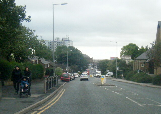
Lees offers several amenities and facilities for its residents. The village has a range of local shops, pubs, and restaurants, providing a variety of services and goods. There are also recreational areas and green spaces, allowing residents to enjoy outdoor activities and leisurely walks.

For those interested in history and culture, Lees is home to several notable landmarks and sites. One of these is the Grade II listed Church of St. Thomas Moorside, a beautiful church dating back to the 19th century. Additionally, Lees Library, a community hub, offers a space for learning and socializing.

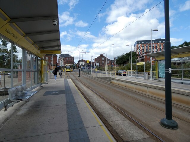
The village benefits from good transportation links, with regular bus services connecting it to the nearby towns and cities. Lees is also conveniently located near major road networks, making it easily accessible for commuters.

Overall, Lees, Nether, Lancashire, offers a charming and peaceful village setting, with a rich history, amenities, and easy access to surrounding areas.

If you have any feedback on the listing, please let us know in the comments section below.
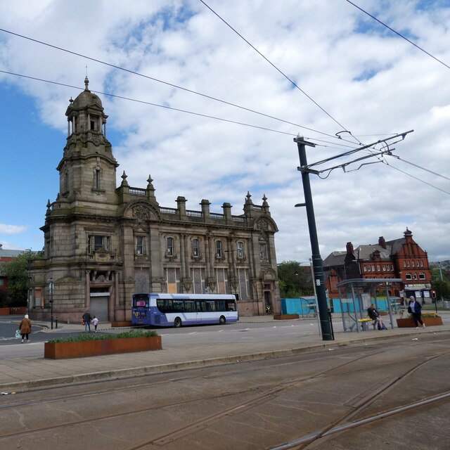
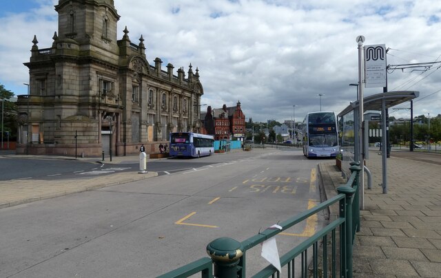
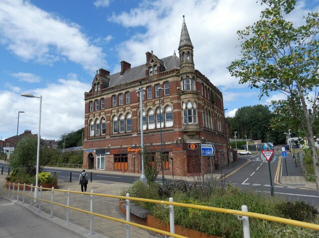
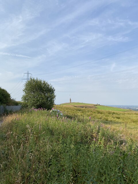
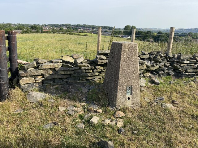
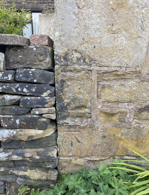
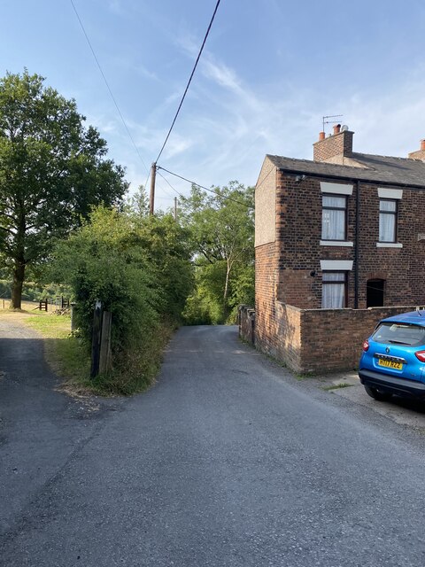
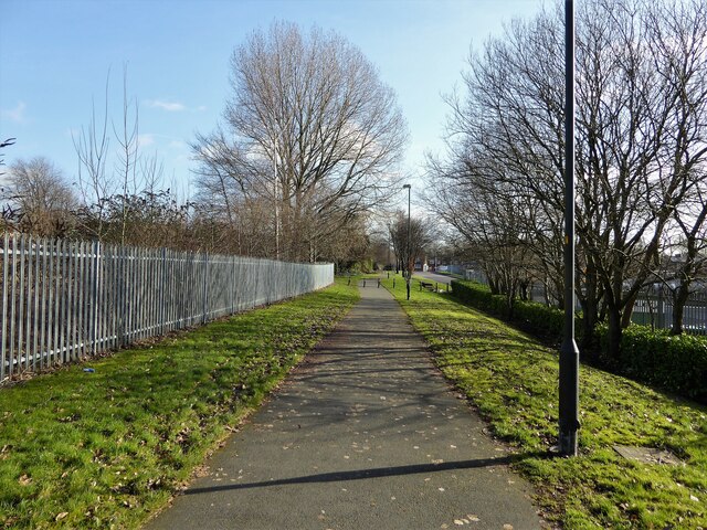
Lees, Nether Images

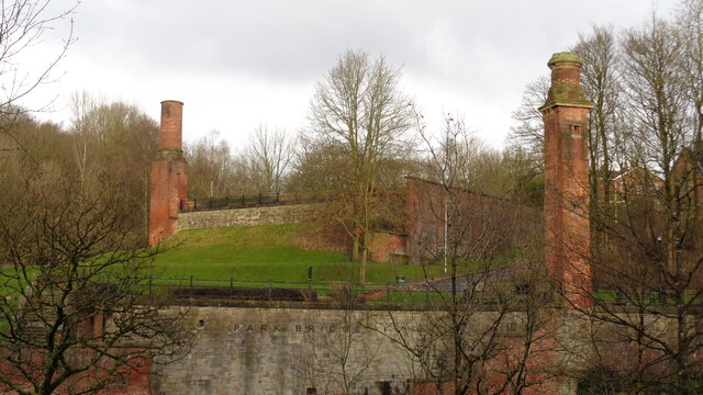
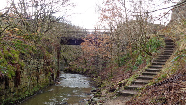
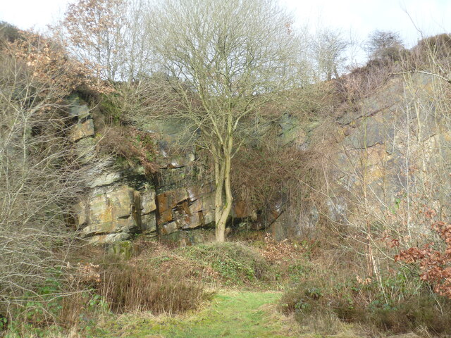
Images are sourced within 2km of 53.532802/-2.07842 or Grid Reference SD9404. Thanks to Geograph Open Source API. All images are credited.

A672 Ripponden Road at Collett Street
Inscribed stone on the south side of Twirl Hill Road, Hartshead Inscribed stone on the south side of Twirl Hill Road. In the former Ashton under Lyne parish to 1894 and Hartshead parish from 1894 to 1974. This stone is thought to be the collection place for the northern part of the ancient parish of Ashton-under-Lyne and is situated at a place called Twirl Hill between the hamlets of Alt Hill and Hartshead, just below the local viewpoint of Hartshead Pike. The practice of paying tithes was abandoned in the 1830’s. The “Tythe Stone” inscription is thought to have been made by local man John Coulthard in 1840 to ensure its preservation. See also <span class="nowrap"><a title="http://www.marland.org/places/marlandplaces-twarlhill.htm" rel="nofollow ugc noopener" href="http://www.marland.org/places/marlandplaces-twarlhill.htm">Link</a><img style="margin-left:2px;" alt="External link" title="External link - shift click to open in new window" src="https://s1.geograph.org.uk/img/external.png" width="10" height="10"/></span>

Milestone Society National ID: LA_HARTS01cm
Inscribed stone on the south side of Twirl Hill Road, Hartshead
Inscribed stone on the south side of Twirl Hill Road. In the former Ashton under Lyne parish to 1894 and Hartshead parish from 1894 to 1974. This stone is thought to be the collection place for the northern part of the ancient parish of Ashton-under-Lyne and is situated at a place called Twirl Hill between the hamlets of Alt Hill and Hartshead, just below the local viewpoint of Hartshead Pike. The practice of paying tithes was abandoned in the 1830’s. The “Tythe Stone” inscription is thought to have been made by local man John Coulthard in 1840 to ensure its preservation. See also LinkExternal link Milestone Society National ID: LA_HARTS01cm
Hartshead Pike Rebuilt to commemorate the marriage of Edward, Prince of Wales in 1863
Hartshead Pike
Rebuilt to commemorate the marriage of Edward, Prince of Wales in 1863
Hartshead Pike Well Often marked as a well on maps is this the site of the original tower on the summit of the hill?
Hartshead Pike Well
Often marked as a well on maps is this the site of the original tower on the summit of the hill?
Park Bridge Heritage Centre View from Alt Hill Road of the chimneys of the ironworks roller shop to the left and cotton mill to the right
Park Bridge Heritage Centre
View from Alt Hill Road of the chimneys of the ironworks roller shop to the left and cotton mill to the right
Old Tramway Bridge Over the River Medlock at the Park Bridge industrial heritage site
Old Tramway Bridge
Over the River Medlock at the Park Bridge industrial heritage site
Old Quarry On the Park Bridge industrial heritage site
Old Quarry
On the Park Bridge industrial heritage site
Oldham Mumps Tram Stop 
A railway line from Manchester to Oldham was opened in 1847. In 1863 the line was extended to Rochdale. Railway operations ended on 3 October 2009, and the Oldham Loop Line was closed for conversion to Matrolink. The line was completely rebuilt, with all of the former infrastructure, including the former stations and station buildings demolished, and replaced, and overhead wiring added. The line was re-opened in phases: Tram services started on 13 June 2012 between Manchester and Oldham Mumps: As a temporary measure, until the town centre line was completed, the former railway line through Oldham Mumps was retained, and a temporary tram stop constructed in place of the former railway station. A permanent stop called Oldham Mumps was later opened on the town centre line in a different location. Services were extended to Shaw and Crompton on 16 December 2012, and to Rochdale Railway Station on 28 February 2013. The Oldham town centre line opened on 27 January 2014, allowing the section of former railway line, and temporary stop at Oldham Mumps to be permanently closed. The Rochdale town centre line opened on 31 March 2014.
Oldham Mumps Tram Stop
A railway line from Manchester to Oldham was opened in 1847. In 1863 the line was extended to Rochdale. Railway operations ended on 3 October 2009, and the Oldham Loop Line was closed for conversion to Matrolink. The line was completely rebuilt, with all of the former infrastructure, including the former stations and station buildings demolished, and replaced, and overhead wiring added. The line was re-opened in phases: Tram services started on 13 June 2012 between Manchester and Oldham Mumps: As a temporary measure, until the town centre line was completed, the former railway line through Oldham Mumps was retained, and a temporary tram stop constructed in place of the former railway station. A permanent stop called Oldham Mumps was later opened on the town centre line in a different location. Services were extended to Shaw and Crompton on 16 December 2012, and to Rochdale Railway Station on 28 February 2013. The Oldham town centre line opened on 27 January 2014, allowing the section of former railway line, and temporary stop at Oldham Mumps to be permanently closed. The Rochdale town centre line opened on 31 March 2014.
Former NatWest bank 
The Grade II listed former bank <span class="nowrap"><a title="https://historicengland.org.uk/listing/the-list/list-entry/1201682?section=official-list-entry" rel="nofollow ugc noopener" href="https://historicengland.org.uk/listing/the-list/list-entry/1201682?section=official-list-entry">Link</a><img style="margin-left:2px;" alt="External link" title="External link - shift click to open in new window" src="https://s1.geograph.org.uk/img/external.png" width="10" height="10"/></span> at Mumps dates from 1902. The bank, originally the Manchester and County, was created by renowned Manchester architects Mills & Murgatroyd. It featured a unique baroque copper-crowned tower and a polished red granite base. Inside, the banking hall housed a 50ft mahogany counter. The bank was taken over by NatWest in 1970. In 1995 it was closed when NatWest merged their Mumps and Yorkshire Street branches. It was put on the market for £170,000. Plans the following year to turn the building into a pub fell through. Several later refurbishment plans have also failed. The building is a focal point within the bus/metrolink tram interchange.
Former NatWest bank
The Grade II listed former bank LinkExternal link at Mumps dates from 1902. The bank, originally the Manchester and County, was created by renowned Manchester architects Mills & Murgatroyd. It featured a unique baroque copper-crowned tower and a polished red granite base. Inside, the banking hall housed a 50ft mahogany counter. The bank was taken over by NatWest in 1970. In 1995 it was closed when NatWest merged their Mumps and Yorkshire Street branches. It was put on the market for £170,000. Plans the following year to turn the building into a pub fell through. Several later refurbishment plans have also failed. The building is a focal point within the bus/metrolink tram interchange.
Mumps transport interchange 
Next to the Metrolink tram stop at Mumps are several bus stops. On the left is  the Grade II listed former NatWest bank <span class="nowrap"><a title="https://historicengland.org.uk/listing/the-list/list-entry/1201682?section=official-list-entry" rel="nofollow ugc noopener" href="https://historicengland.org.uk/listing/the-list/list-entry/1201682?section=official-list-entry">Link</a><img style="margin-left:2px;" alt="External link" title="External link - shift click to open in new window" src="https://s1.geograph.org.uk/img/external.png" width="10" height="10"/></span> <a href="https://www.geograph.org.uk/photo/7263233">SD9305 : Former NatWest bank</a>.
Mumps transport interchange
Next to the Metrolink tram stop at Mumps are several bus stops. On the left is the Grade II listed former NatWest bank LinkExternal link SD9305 : Former NatWest bank.
17-21 Mumps 
Only the ground floor of this three storey building are currently occupied. Before becoming Frango's this was Fusion 21. Before that the right hand portion had been Kava and the left hand portion  the site office for Westshield. Before Westshield that part had been The Hair Lounge. Around 2012 the right hand side was called  Langham House. In 2009 the building was home to a photography studio Xpressions. All the adjoining buildings towards Yorkshire Street were demolished around 2016. There are plans to convert the upper storeys into apartments.
17-21 Mumps
Only the ground floor of this three storey building are currently occupied. Before becoming Frango's this was Fusion 21. Before that the right hand portion had been Kava and the left hand portion the site office for Westshield. Before Westshield that part had been The Hair Lounge. Around 2012 the right hand side was called Langham House. In 2009 the building was home to a photography studio Xpressions. All the adjoining buildings towards Yorkshire Street were demolished around 2016. There are plans to convert the upper storeys into apartments.
Brown Edge Trig Point Flush Bracket S2784
Views towards Hartshead Pike Tower
The Rock Trig Point Flush Bracket S2786
OS Cut Mark - Park Bridge, Keverlow Farm <span class="nowrap"><a title="https://www.bench-marks.org.uk/bm60764" rel="nofollow ugc noopener" href="https://www.bench-marks.org.uk/bm60764">Link</a><img style="margin-left:2px;" alt="External link" title="External link - shift click to open in new window" src="https://s1.geograph.org.uk/img/external.png" width="10" height="10"/></span>
OS Cut Mark - Park Bridge, Keverlow Farm
Mill Brow
Mill Brow
Cycle path following route of former railway The path goes from Oldham to Grotton following the Oldham to Greenfield railway line. Much of the route is on infill such as here looking east from Glodwick Road, Oldham
Cycle path following route of former railway
The path goes from Oldham to Grotton following the Oldham to Greenfield railway line. Much of the route is on infill such as here looking east from Glodwick Road, Oldham
Cycle route following line of former railway This view across Cranbrook Street just off the path shows the route is on the top of infill, since only the bridge parapet is visible of the former railway bridge. The path is on the  former Oldham to Greenfield line.
Cycle route following line of former railway
This view across Cranbrook Street just off the path shows the route is on the top of infill, since only the bridge parapet is visible of the former railway bridge. The path is on the former Oldham to Greenfield line.
Show me another place!

Lees, Nether is located at Grid Ref: SD9404 (Lat: 53.532802, Lng: -2.07842)

Unitary Authority: Oldham

Police Authority: Greater Manchester

What 3 Words

///supply.weedy.tamed. Near Oldham, Manchester

Related Wikis

Breeze Hill School

Breeze Hill School was a mixed-sex comprehensive secondary school for 11- to 16-year-olds in Oldham, Greater Manchester, England. It was a specialist Humanities...

Oasis Academy Leesbrook

Oasis Academy Leesbrook is coeducational secondary school located in the Oldham in Greater Manchester, England. It is part of the Oasis Community Learning...

Glodwick

Glodwick is an area of Oldham, Greater Manchester, England. It is south-east of Oldham town centre. Glodwick is a multi-ethnic residential area in the...

Abbey Hills

Abbey Hills (archaically Wabbow Hills) is an area of Oldham in Greater Manchester. It is contiguous with Glodwick and Alt. Lying on the eastern border...

Salem Moravian Church

Salem Moravian Church was founded in Oldham, Lancashire, England in 1825 by John Lees. Br Lees, who lived in the Clarksfield area of Oldham, was associated...

Alt, Greater Manchester

Alt is a semi-rural and suburban area lying on the borders of the towns of Oldham and Ashton-under-Lyne in Greater Manchester. Alt was formerly a civil...

Lees, Greater Manchester

Lees is a village in the Metropolitan Borough of Oldham, Greater Manchester, England, amongst the Pennines east of the River Medlock, 1.8 miles (2.9 km...

Lees railway station

Lees railway station opened on 5 July 1856 at Lees, Lancashire, when the London and North Western Railway (L&NWR) opened the branch from Greenfield to...

Nearby Amenities

Located within 500m of 53.532802,-2.07842
Bus Stop
Wildmoor Avenue/Rowden Road
Bus: yes
Naptan AtcoCode: 1800ED08871
Naptan Bearing: SW
Naptan CommonName: Wildmoor Avenue/Rowden Road
Naptan Indicator: O/s House 76
Naptan Landmark: HOUSE 76
Naptan NaptanCode: manamgdt
Naptan PlusbusZoneRef: MNCRPIC
Naptan ShortCommonName: Rowden Road
Naptan Street: WILDMOOR AVENUE
Naptan Verified: no
Network: TfGM
Public Transport: platform
Source: naptan_import
Lat/Long: 53.5300301/-2.0745259
Bus Stop
Holts, Wildmoor Avenue / near Rowden Road
Bus: yes
Naptan AtcoCode: 1800ED08881
Naptan Bearing: NE
Naptan CommonName: Wildmoor Avenue/Rowden Road
Naptan Indicator: O/s House 83
Naptan Landmark: HOUSE 83
Naptan NaptanCode: manamgdw
Naptan PlusbusZoneRef: MNCRPIC
Naptan ShortCommonName: Rowden Road
Naptan Street: WILDMOOR AVENUE
Naptan Verified: no
Network: TfGM
Operator: TfGM
Public Transport: platform
Source: naptan_import
Lat/Long: 53.5304977/-2.0741646
Bus Stop
Wildmoor Avenue/Curlew Road
Bus: yes
Naptan AtcoCode: 1800ED08891
Naptan Bearing: SW
Naptan CommonName: Wildmoor Avenue/Curlew Road
Naptan Indicator: O/s House 134
Naptan Landmark: HOUSE 134
Naptan NaptanCode: manamgja
Naptan PlusbusZoneRef: MNCRPIC
Naptan ShortCommonName: Curlew Road
Naptan Street: WILDMOOR AVENUE
Naptan Verified: no
Network: TfGM
Public Transport: platform
Source: naptan_import
Lat/Long: 53.5310197/-2.0730944
Bus Stop
Holts, Wildmoor Avenue / near Curlew Road
Bus: yes
Naptan AtcoCode: 1800ED08901
Naptan Bearing: NE
Naptan CommonName: Wildmoor Avenue/Curlew Road
Naptan Indicator: House 117
Naptan Landmark: HOUSE 117
Naptan NaptanCode: manamgjd
Naptan PlusbusZoneRef: MNCRPIC
Naptan ShortCommonName: Curlew Road
Naptan Street: WILDMOOR AVENUE
Naptan Verified: no
Network: TfGM
Operator: TfGM
Public Transport: platform
Source: naptan_import
Lat/Long: 53.5313165/-2.0728535
Bus Stop
Lees, Lees Road / opposite Leesbrook Mill
Bus: yes
Naptan AtcoCode: 1800ED30851
Naptan Bearing: E
Naptan CommonName: Lees Road/Leesbrook Mill
Naptan Indicator: Fox & Owl
Naptan Landmark: FOX & OWL
Naptan NaptanCode: manatpaw
Naptan PlusbusZoneRef: MNCRPIC
Naptan ShortCommonName: Leesbrook Mill
Naptan Street: LEES ROAD
Naptan Verified: no
Network: TfGM
Operator: TfGM
Public Transport: platform
Source: naptan_import
Lat/Long: 53.5372358/-2.0777711
Bus Stop
Lees, Lees Road / outside Leesbrook Mill
Bus: yes
Naptan AtcoCode: 1800ED30861
Naptan Bearing: W
Naptan CommonName: Lees Road/Leesbrook Mill
Naptan Indicator: Bridge Inn
Naptan Landmark: MILL
Naptan NaptanCode: manatpda
Naptan PlusbusZoneRef: MNCRPIC
Naptan ShortCommonName: Leesbrook Mill
Naptan Street: LEES ROAD
Naptan Verified: no
Network: TfGM
Operator: TfGM
Public Transport: platform
Source: naptan_import
Lat/Long: 53.5370878/-2.0783417
Noexit: yes
Lat/Long: 53.534596/-2.0776025
Noexit: yes
Lat/Long: 53.5370574/-2.076608
Generator Method: photovoltaic
Generator Output Electricity: yes
Generator Source: solar
Generator Type: solar_photovoltaic_panel
Location: roof
Power: generator
Lat/Long: 53.5359621/-2.0829502
Generator Method: photovoltaic
Generator Output Electricity: yes
Generator Source: solar
Generator Type: solar_photovoltaic_panel
Location: roof
Power: generator
Lat/Long: 53.5355205/-2.0821992
Generator Method: photovoltaic
Generator Output Electricity: yes
Generator Source: solar
Generator Type: solar_photovoltaic_panel
Location: roof
Power: generator
Lat/Long: 53.5356751/-2.0754374
Generator Method: photovoltaic
Generator Output Electricity: yes
Generator Source: solar
Generator Type: solar_photovoltaic_panel
Location: roof
Power: generator
Lat/Long: 53.5294556/-2.0755276
Generator Method: photovoltaic
Generator Output Electricity: yes
Generator Source: solar
Generator Type: solar_photovoltaic_panel
Location: roof
Power: generator
Lat/Long: 53.5294707/-2.0756255
Post Box
Brand: Royal Mail
Brand Wikidata: Q638098
Brand Wikipedia: en:Royal Mail
Drive Through: no
Operator: Royal Mail
Operator Wikidata: Q638098
Lat/Long: 53.53414/-2.0754163
Ford: yes
Lat/Long: 53.5307142/-2.0787777
Historic: memorial
Lat/Long: 53.5345996/-2.0739656
Advertising: board
Lit: no
Lat/Long: 53.5313864/-2.0797816
Noexit: yes
Lat/Long: 53.5362195/-2.0741448
Give Way
Direction: backward
Lat/Long: 53.5366595/-2.0755194
Noexit: yes
Lat/Long: 53.5369677/-2.0778681
Lees DIY Centre
Addr City: Oldham
Addr Housenumber: 616
Addr Postcode: OL4 5JL
Addr Street: Lees Road
Addr Suburb: Lees
Shop: doityourself
Lat/Long: 53.5370982/-2.0777558
Addr City: Oldham
Addr Housename: Lees Brook Mill
Addr Postcode: OL4 5JL
Addr Street: Lees Road
Addr Suburb: Lees
Lat/Long: 53.5365279/-2.0782505
Noexit: yes
Lat/Long: 53.5367231/-2.0753368
Addr City: Oldham
Addr Housenumber: 11
Addr Postcode: OL4 5AJ
Addr Street: Spring Lane
Addr Suburb: Lees
Lat/Long: 53.536845/-2.0752385
Addr City: Oldham
Addr Housenumber: 13
Addr Postcode: OL4 5AJ
Addr Street: Spring Lane
Addr Suburb: Lees
Lat/Long: 53.5367985/-2.0752771
Addr City: Oldham
Addr Housenumber: 15
Addr Postcode: OL4 5AJ
Addr Street: Spring Lane
Addr Suburb: Lees
Lat/Long: 53.536755/-2.0753116
Addr City: Oldham
Addr Housenumber: 13
Addr Postcode: OL4 5AS
Addr Street: West Street
Addr Suburb: Lees
Lat/Long: 53.5366783/-2.0746389
Give Way
Direction: forward
Lat/Long: 53.5366871/-2.0756241
The data included in this document is from www.openstreetmap.org. The data is made available under ODbL.

Have you been to Lees, Nether?

Leave your review of Lees, Nether below (or comments, questions and feedback).