Salehurst
Settlement in Sussex Rother
England
Salehurst
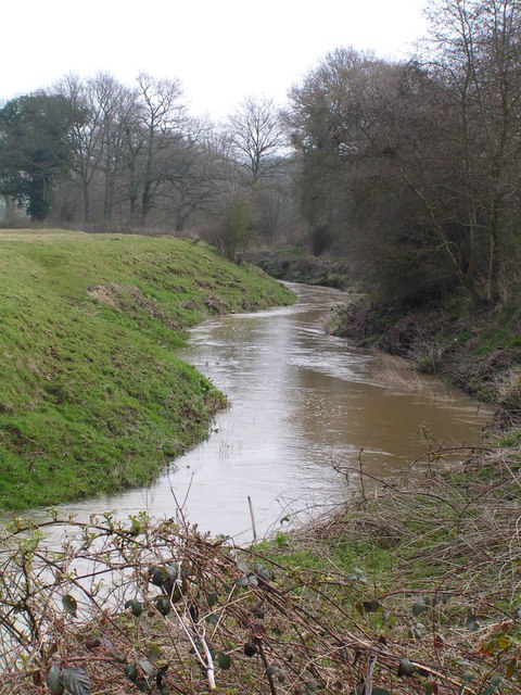
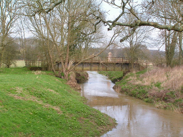
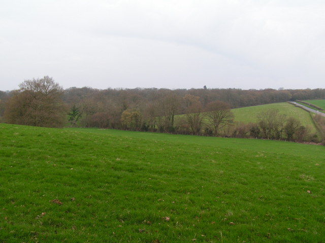
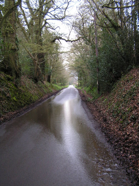
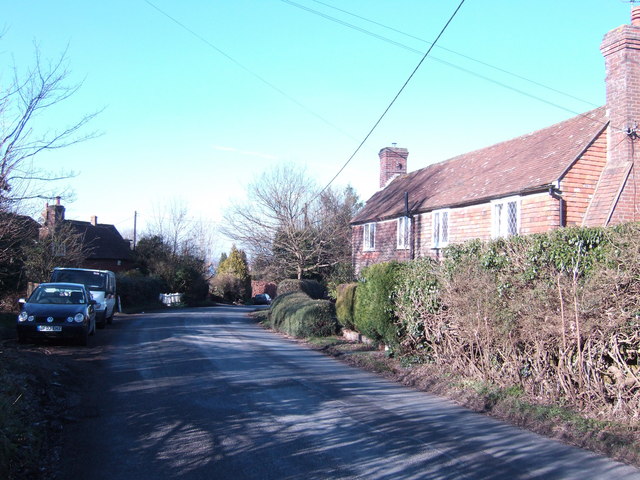
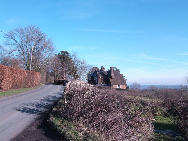
Salehurst is a small village located in the county of East Sussex, England. It is situated approximately 10 miles north of the coastal town of Hastings and about 50 miles southeast of London. The village lies within the High Weald Area of Outstanding Natural Beauty, surrounded by picturesque rolling hills and traditional English countryside.
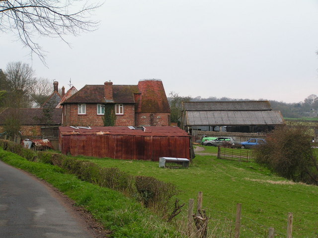
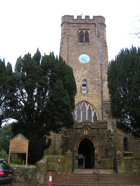
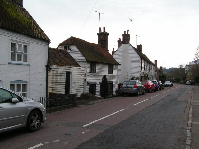
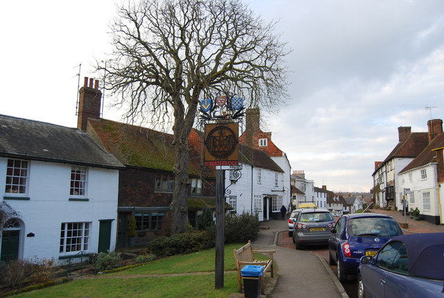
Salehurst is known for its historic charm, with several medieval buildings still standing in the village. The focal point of Salehurst is the stunning St. Mary the Virgin Church, a Grade I listed building dating back to the 12th century. This beautiful church is notable for its unique architectural features, including a 14th-century timbered tower.
The village itself is quite small, with a population of around 700 residents. It offers a peaceful and tranquil environment, making it a popular destination for those seeking a slower pace of life. Salehurst boasts a strong sense of community, with various local events and activities organized throughout the year, including a summer fete and a Christmas market.
Although Salehurst is primarily residential, it is conveniently located near larger towns such as Robertsbridge and Battle, providing access to a range of amenities and services. The village is well-connected by road, with the A21 and A22 trunk roads easily accessible, making it an attractive location for commuters.
Overall, Salehurst is a charming and idyllic village, offering a quintessentially English countryside experience with its historic buildings, natural beauty, and strong community spirit.
If you have any feedback on the listing, please let us know in the comments section below.
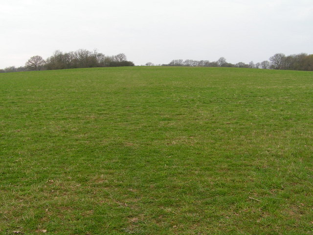
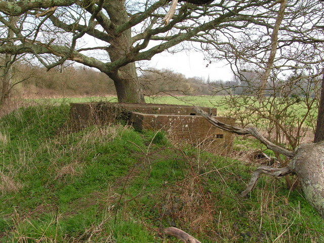
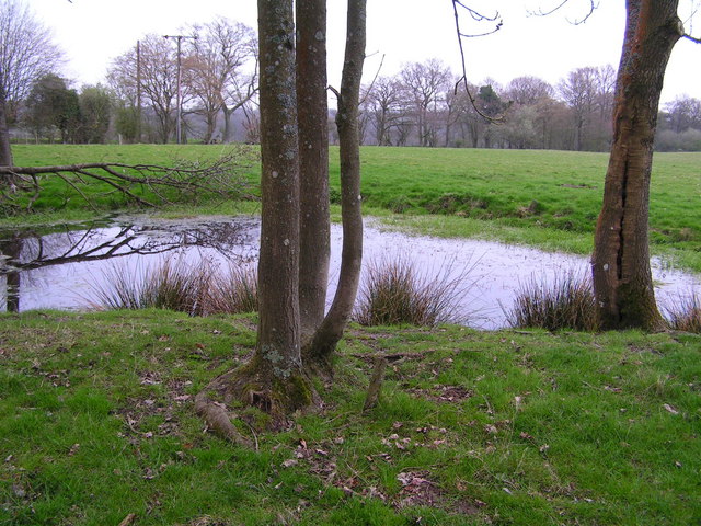
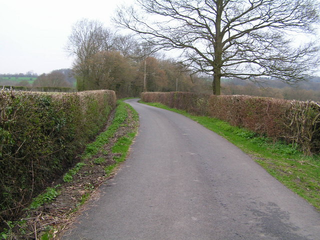
Salehurst Images
Images are sourced within 2km of 50.991704/0.490679 or Grid Reference TQ7424. Thanks to Geograph Open Source API. All images are credited.
Salehurst is located at Grid Ref: TQ7424 (Lat: 50.991704, Lng: 0.490679)
Administrative County: East Sussex
District: Rother
Police Authority: Sussex
What 3 Words
///standard.pavilions.slipping. Near Robertsbridge, East Sussex
Nearby Locations
Related Wikis

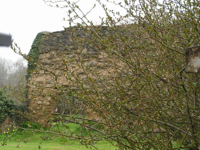
Robertsbridge Abbey
Robertsbridge Abbey was a Cistercian abbey in Robertsbridge, East Sussex, England. It was founded in 1176 by Alured and Alicia de St Martin. Due to its...

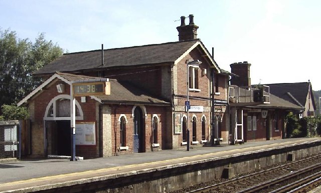
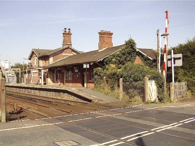
Salehurst Halt railway station
Salehurst Halt was a halt station on the Kent and East Sussex Railway which served the village of Salehurst in East Sussex, England. The station was reached...
Salehurst and Robertsbridge
Salehurst and Robertsbridge is a civil parish in the Rother district, in the county of East Sussex, England. The parish lies entirely within an Area of...

Salehurst
Salehurst is a village in the Rother district of East Sussex, England, within the civil parish of Salehurst and Robertsbridge. It lies immediately to the...
Nearby Amenities
Located within 500m of 50.991704,0.490679Have you been to Salehurst?
Leave your review of Salehurst below (or comments, questions and feedback).