Salehurst and Robertsbridge

Civil Parish in Sussex Rother

England

Salehurst and Robertsbridge

Robertsbridge Railway Station On the London-Hastings main line
Robertsbridge Railway Station Credit: graham ross

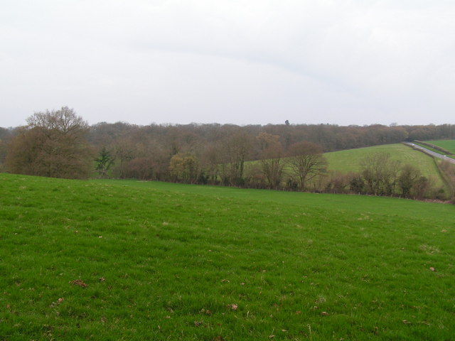
Salehurst and Robertsbridge is a civil parish located in the county of Sussex, England. It is situated approximately 12 miles north of the coastal town of Hastings. The parish is comprised of two main villages, Salehurst and Robertsbridge, as well as several smaller hamlets.

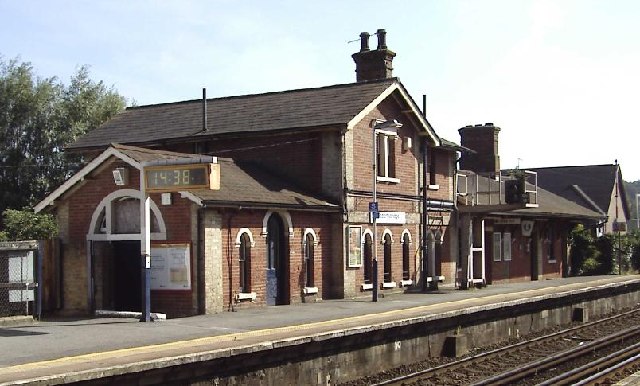
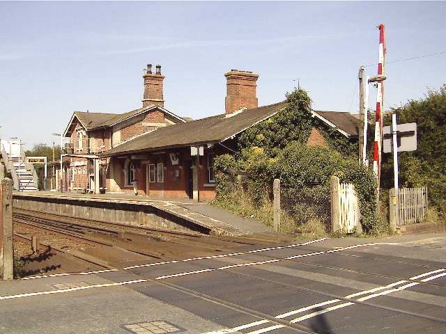
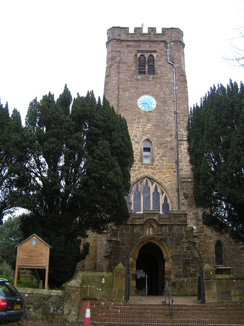
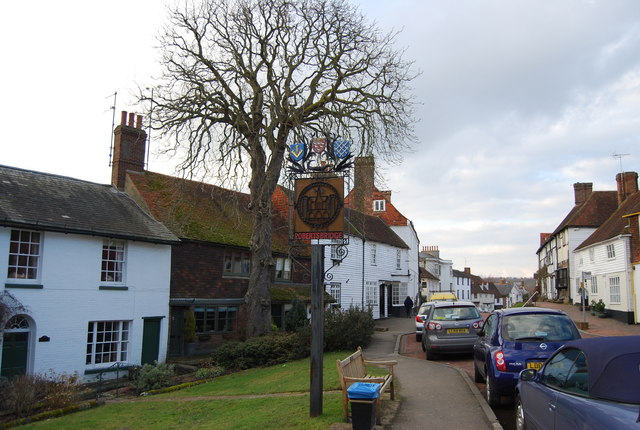
Salehurst is a picturesque village that is known for its historic buildings and charming countryside. It is home to the 13th-century Salehurst Halt, a former railway station that now serves as a community center. The village also boasts a beautiful Norman church, St Mary the Virgin, which features remarkable stained glass windows and a striking tower.

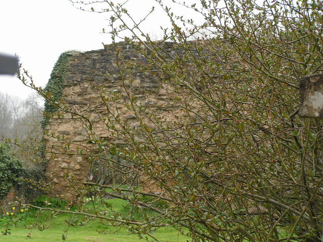
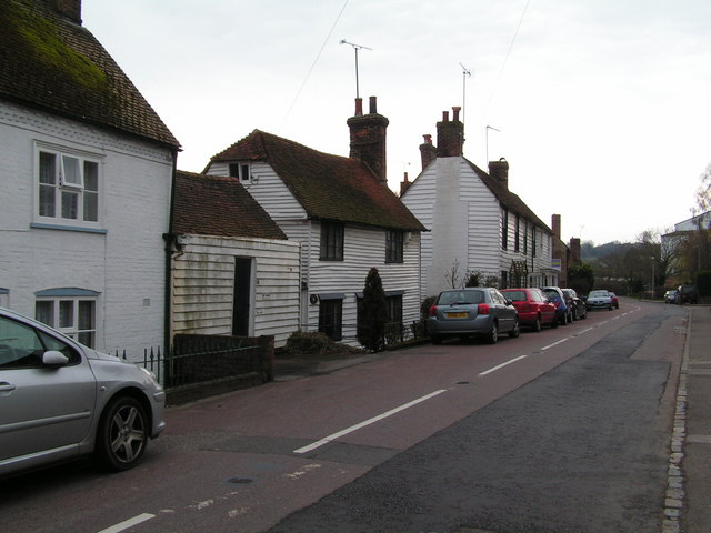
Robertsbridge, on the other hand, is a bustling village with a rich industrial heritage. It was originally founded as a Cistercian abbey in the 12th century and grew to become an important center for the iron industry during the medieval period. Today, visitors can still see remnants of the abbey, including the gatehouse and a few buildings.

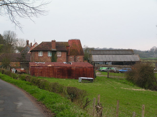
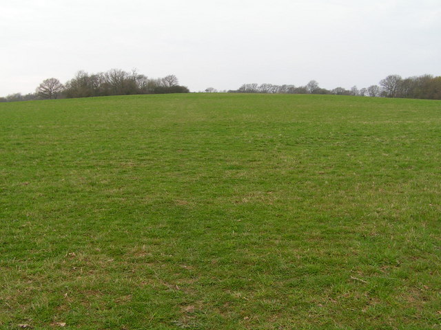
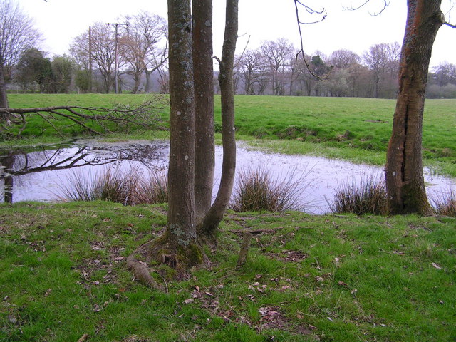
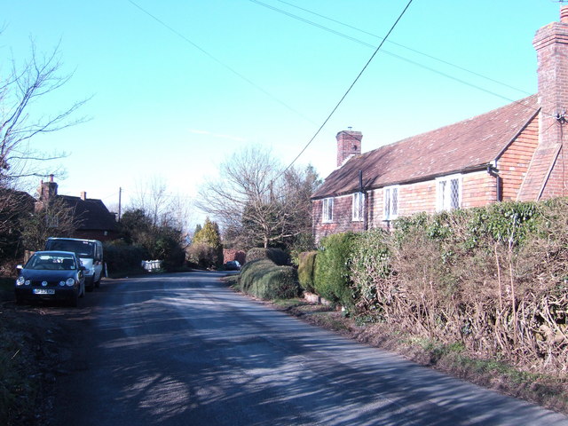
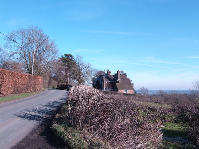
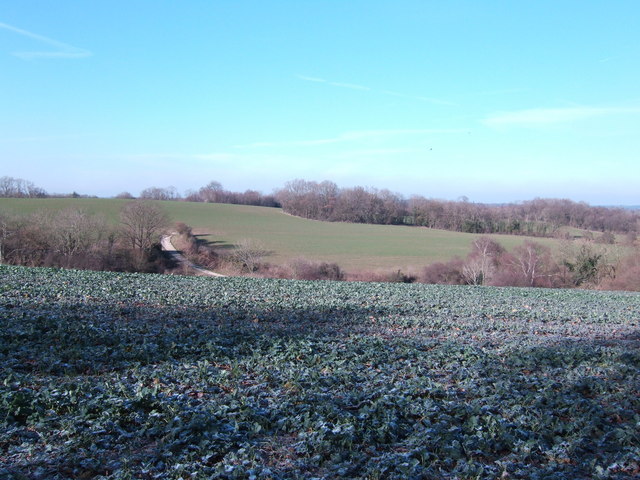
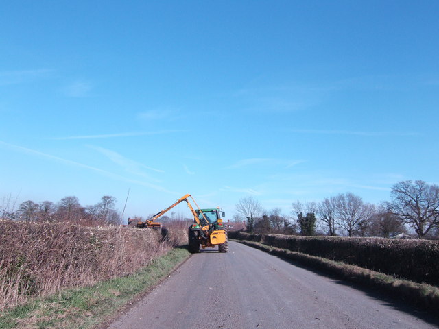
Both Salehurst and Robertsbridge offer a range of amenities for residents and visitors alike. There are several shops, pubs, and restaurants in the area, as well as a primary school and a village hall. The parish is also surrounded by beautiful countryside, making it an ideal location for outdoor activities such as hiking and cycling.

Overall, Salehurst and Robertsbridge provide a charming blend of history, natural beauty, and modern amenities, making it a delightful place to visit or call home in Sussex.

If you have any feedback on the listing, please let us know in the comments section below.

Salehurst and Robertsbridge Images

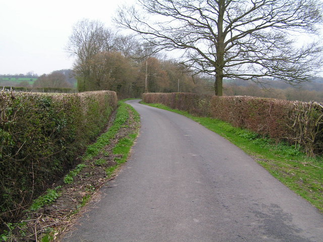
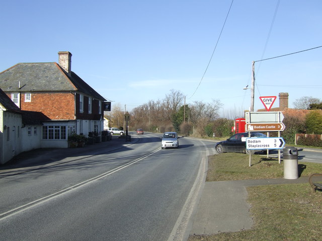
Images are sourced within 2km of 50.99444/0.485965 or Grid Reference TQ7424. Thanks to Geograph Open Source API. All images are credited.

Robertsbridge Railway Station On the London-Hastings main line
Robertsbridge Railway Station
On the London-Hastings main line
Robertsbridge station and level crossing The road is Station Road, a minor road leading to Robertsbridge High Street on the right
Robertsbridge station and level crossing
The road is Station Road, a minor road leading to Robertsbridge High Street on the right
Robertsbridge Bypass crossing the R. Rother The A21 is a 63 mile major trunk road running  from Lewisham in Greater London to Hastings, East Sussex. The road is broken up by the M25 motorway between junction 4 and 5.
Wikipedia <span class="nowrap"><a title="http://en.wikipedia.org/wiki/A21_road_(England)" rel="nofollow ugc noopener" href="http://en.wikipedia.org/wiki/A21_road_(England)">Link</a><img style="margin-left:2px;" alt="External link" title="External link - shift click to open in new window" src="https://s1.geograph.org.uk/img/external.png" width="10" height="10"/></span>
Robertsbridge Bypass crossing the R. Rother
The A21 is a 63 mile major trunk road running from Lewisham in Greater London to Hastings, East Sussex. The road is broken up by the M25 motorway between junction 4 and 5. Wikipedia LinkExternal link
Hop Field
Hop Field
Robertsbridge abbey (rems of) These are the remains of the cistercian abbey, now not visitable as part of a private house.
Robertsbridge abbey (rems of)
These are the remains of the cistercian abbey, now not visitable as part of a private house.
Woodlands & Fields A229 on the right of the picture
Woodlands & Fields
A229 on the right of the picture
Converted Oast House, Haiselsman Farm One of many in the area
Converted Oast House, Haiselsman Farm
One of many in the area
Sussex Sunken Lane
Sussex Sunken Lane
St Mary the Virgin Church, Salehurst
Northbridge Street, north of Robertsbridge This is the old A21, before the Robertsbridge bypass was constructed. this leaves Northbridge Street a quiet little village.
Northbridge Street, north of Robertsbridge
This is the old A21, before the Robertsbridge bypass was constructed. this leaves Northbridge Street a quiet little village.
Fields with woodland behind
Pond in a field
Pond in a field
Sussex byway
Sussex byway
A21 at Silver Hill Bodiam road is to the right.
A21 at Silver Hill
Bodiam road is to the right.
Cottages at Silver Hill
House with a view This property looks southwards over the Rother valley from a point 100m above the river.
House with a view
This property looks southwards over the Rother valley from a point 100m above the river.
Fields north of Boarsney Farm The end of a concrete lane is in the middle distance.
Fields north of Boarsney Farm
The end of a concrete lane is in the middle distance.
Trimming the hedges Near Climsett's Farm
Trimming the hedges
Near Climsett's Farm
Show me another place!

Salehurst and Robertsbridge is located at Grid Ref: TQ7424 (Lat: 50.99444, Lng: 0.485965)

Administrative County: East Sussex

District: Rother

Police Authority: Sussex

What 3 Words

///basic.pigment.clotting. Near Robertsbridge, East Sussex

Related Wikis

Robertsbridge Abbey

Robertsbridge Abbey was a Cistercian abbey in Robertsbridge, East Sussex, England. It was founded in 1176 by Alured and Alicia de St Martin. Due to its...

Salehurst and Robertsbridge

Salehurst and Robertsbridge is a civil parish in the Rother district, in the county of East Sussex, England. The parish lies entirely within an Area of...

Salehurst

Salehurst is a village in the Rother district of East Sussex, England, within the civil parish of Salehurst and Robertsbridge. It lies immediately to the...

Salehurst Halt railway station

Salehurst Halt was a halt station on the Kent and East Sussex Railway which served the village of Salehurst in East Sussex, England. The station was reached...

Nearby Amenities

Located within 500m of 50.99444,0.485965
Pub
Salehurst Halt
Addr City: Robertsbridge
Addr Postcode: TN32 5PH
Addr Street: Church Lane
Website: https://salehursthalt.co.uk/
Wikidata: Q26512414
Lat/Long: 50.9907961/0.4901169
Turning Circle
Lat/Long: 50.9917194/0.4816551
Power: pole
Lat/Long: 50.9928321/0.4836157
Power: pole
Lat/Long: 50.9927561/0.4852518
Power: pole
Lat/Long: 50.9933014/0.4885724
Power: pole
Lat/Long: 50.9930431/0.4870033
Power: pole
Lat/Long: 50.992464/0.4877195
Power: pole
Lat/Long: 50.9913549/0.4882881
The data included in this document is from www.openstreetmap.org. The data is made available under ODbL.

Have you been to Salehurst and Robertsbridge?

Leave your review of Salehurst and Robertsbridge below (or comments, questions and feedback).