Saleby

Settlement in Lincolnshire East Lindsey

England

Saleby

Viking Link cable run passing Saleby and Thoresthorpe: aerial 2021
Viking Link cable run passing Saleby and Thoresthorpe: aerial 2021 Credit: Chris

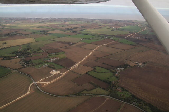
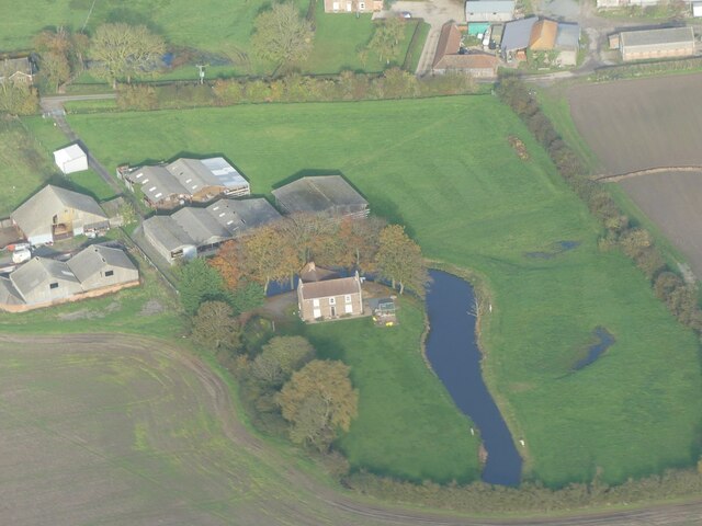
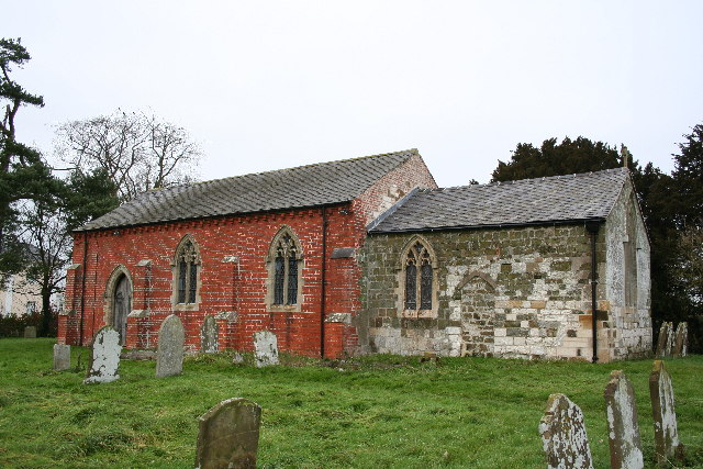
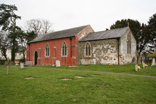
Saleby is a small village located in the East Lindsey district of Lincolnshire, England. Situated approximately 6 miles north-east of the town of Louth, Saleby is surrounded by picturesque countryside and offers a peaceful and rural setting.

The village is characterized by its traditional charm, with a collection of quaint cottages and houses lining the streets. It has a small population, with around 200 residents, contributing to its close-knit community feel.

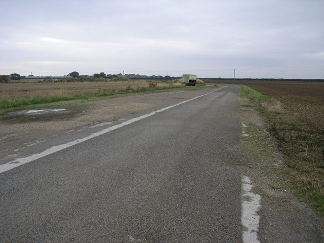
Saleby is well-connected to nearby towns and cities, with good road links to Louth and Grimsby, making it an ideal location for those looking for a tranquil place to live while still having access to amenities and employment opportunities.

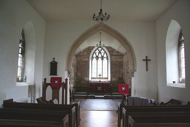
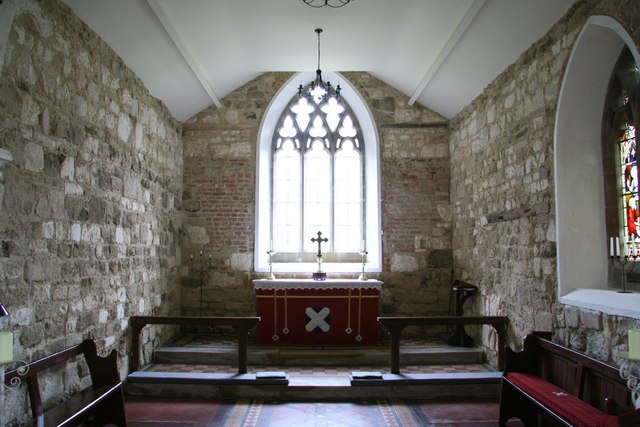
Despite its small size, Saleby is home to a few local amenities. The village has a village hall which serves as a hub for community events and activities. There is also a nearby primary school in the neighboring village of Theddlethorpe, ensuring that families with young children have access to education facilities.

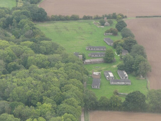
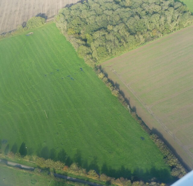
The surrounding countryside offers plenty of opportunities for outdoor activities, with walking and cycling routes available for those who enjoy exploring nature. The Lincolnshire Wolds, an Area of Outstanding Natural Beauty, is also within easy reach, offering stunning landscapes and scenic views.

Overall, Saleby is a charming and peaceful village, perfect for those seeking a tranquil rural lifestyle in the beautiful Lincolnshire countryside.

If you have any feedback on the listing, please let us know in the comments section below.
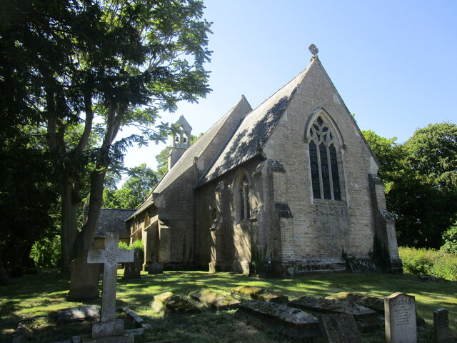
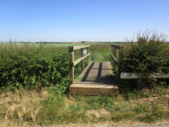
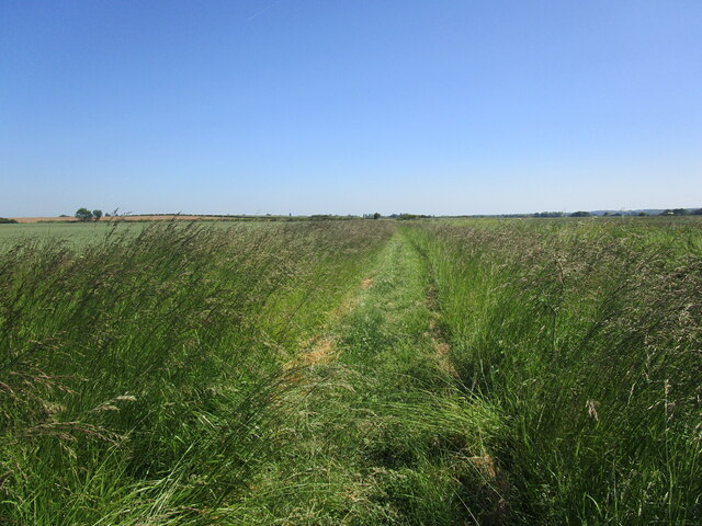
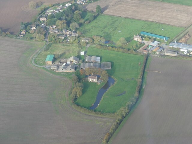
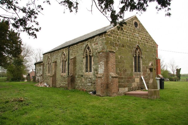
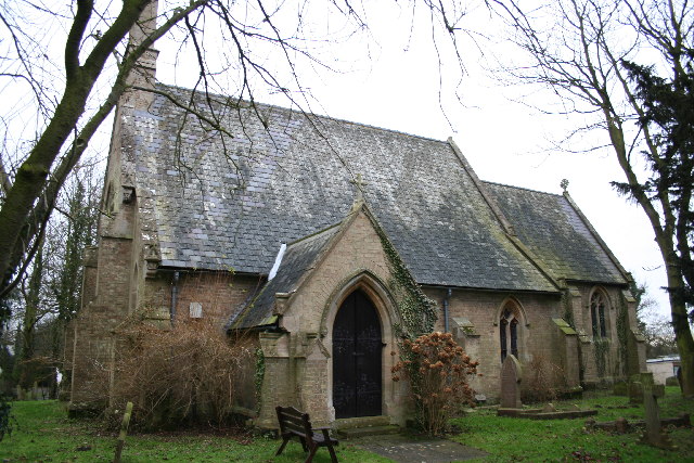
Saleby Images

Images are sourced within 2km of 53.282623/0.183261 or Grid Reference TF4578. Thanks to Geograph Open Source API. All images are credited.

Viking Link cable run passing Saleby and Thoresthorpe: aerial 2021
Old military installations at Strubby: aerial 2022
Phacelia near Saleby Usually grown as a cover crop/green manure.
Phacelia near Saleby
Usually grown as a cover crop/green manure.
Newly cleared drain off Mill Lane, Saleby
St Margaret's church, Saleby Built in 1850 <span class="nowrap"><a title="https://historicengland.org.uk/listing/the-list/list-entry/1063011?section=official-list-entry" rel="nofollow ugc noopener" href="https://historicengland.org.uk/listing/the-list/list-entry/1063011?section=official-list-entry">Link</a><img style="margin-left:2px;" alt="External link" title="External link - shift click to open in new window" src="https://s1.geograph.org.uk/img/external.png" width="10" height="10"/></span> and designed by Stephen Lewin <span class="nowrap"><a title="https://en.wikipedia.org/wiki/Stephen_Lewin" rel="nofollow ugc noopener" href="https://en.wikipedia.org/wiki/Stephen_Lewin">Link</a><img style="margin-left:2px;" alt="External link" title="External link - shift click to open in new window" src="https://s1.geograph.org.uk/img/external.png" width="10" height="10"/></span>
St Margaret's church, Saleby
Built in 1850 LinkExternal link and designed by Stephen Lewin LinkExternal link
Bridge at the beginning of a footpath to Alford
Footpath to Alford Runs alongside the Wold Grift Drain (to the right).
Footpath to Alford
Runs alongside the Wold Grift Drain (to the right).
Saleby Manor moated site: aerial 2023 (1)
Saleby Manor moated site: aerial 2023 (2)
Ridge and furrow near Beesby in the Marsh: aerial 2023
St.Andrew's church, Beesby, Lincs. A curious marriage of vibrant red brick and stone. The chancel looks 13th century but much restored, but the 1841 rebuilding of the nave uses brick on the south side and stone on the north.
St.Andrew's church, Beesby, Lincs.
A curious marriage of vibrant red brick and stone. The chancel looks 13th century but much restored, but the 1841 rebuilding of the nave uses brick on the south side and stone on the north.
Perimeter Bridleway This bridleway leading to Manor Farm follows the old perimeter road of the former RAF Strubby airfield.  This bridleway was probably created around the airfield since the siting of the runways removed a road which linked the same two points as the bridleway.
Perimeter Bridleway
This bridleway leading to Manor Farm follows the old perimeter road of the former RAF Strubby airfield. This bridleway was probably created around the airfield since the siting of the runways removed a road which linked the same two points as the bridleway.
St.Andrew's church A remarkable transformation from neglected church <a title="https://www.geograph.org.uk/photo/108099" href="https://www.geograph.org.uk/photo/108099">Link</a> to community building
St.Andrew's church is now a parish room as well as a place of worship and has an optimistic future
St.Andrew's church
A remarkable transformation from neglected church Link to community building St.Andrew's church is now a parish room as well as a place of worship and has an optimistic future
St.Andrew's nave The nave is now multi-purpose space for the parishioners of Beesby, the pews are to be replaced by chairs soon. The chancel arch is 13th century.
St.Andrew's nave
The nave is now multi-purpose space for the parishioners of Beesby, the pews are to be replaced by chairs soon. The chancel arch is 13th century.
St.Andrew's chancel Recently stripped of plaster to reveal much-restored 13th century masonry
St.Andrew's chancel
Recently stripped of plaster to reveal much-restored 13th century masonry
750 year-old grin Large 13th century corbel head on St.Andrew's chancel arch <a title="https://www.geograph.org.uk/photo/771085" href="https://www.geograph.org.uk/photo/771085">Link</a> grinning at parishioners for around 750 years
750 year-old grin
Large 13th century corbel head on St.Andrew's chancel arch Link grinning at parishioners for around 750 years
Toothache 13th century corbel head on St.Andrew's chancel arch <a title="https://www.geograph.org.uk/photo/771085" href="https://www.geograph.org.uk/photo/771085">Link</a> suffering with toothache for around 750 years whilst his friend opposite grins unsympathetically <a title="https://www.geograph.org.uk/photo/771095" href="https://www.geograph.org.uk/photo/771095">Link</a>
Toothache
13th century corbel head on St.Andrew's chancel arch Link suffering with toothache for around 750 years whilst his friend opposite grins unsympathetically Link
St.Andrew's church Greenstone 15th century west and north walls of St.Andrew's nave, buttressed with brick in the restoration of 1841
St.Andrew's church
Greenstone 15th century west and north walls of St.Andrew's nave, buttressed with brick in the restoration of 1841
Show me another place!

Saleby is located at Grid Ref: TF4578 (Lat: 53.282623, Lng: 0.183261)

Division: Parts of Lindsey

Administrative County: Lincolnshire

District: East Lindsey

Police Authority: Lincolnshire

What 3 Words

///knots.unclaimed.episode. Near Alford, Lincolnshire

Nearby Locations

Saleby Beesby with Saleby

Related Wikis

Saleby

Saleby is a village in the civil parish of Beesby with Saleby, in the East Lindsey district of Lincolnshire, England. It is on the Alford road to Louth...

Beesby with Saleby

Beesby with Saleby is a civil parish in the East Lindsey district of Lincolnshire, England. It includes Beesby and Saleby. According to the 2001 Census...

Alford Windmill

Alford Windmill is a five-sailed windmill in Alford, Lincolnshire and the only surviving windmill out of four. Though the windmill has been restored to...

Tothby

Tothby is a hamlet less than 1 mile (1.6 km) north from the town of Alford, in the East Lindsey district of Lincolnshire, England. In the 1086 Domesday...

Nearby Amenities

Located within 500m of 53.282623,0.183261
Bus Stop
Methodist Church
Naptan AtcoCode: 270000009847
Naptan Bearing: N
Naptan CommonName: Methodist Church
Naptan Indicator: opp
Naptan Landmark: Methodist Church
Naptan NaptanCode: linjgapw
Naptan Street: Rose Lane
Naptan Verified: no
Source: naptan_import
Lat/Long: 53.2828057/0.1831645
Bus Stop
Rose Lane
Naptan AtcoCode: 270000014421
Naptan Bearing: S
Naptan CommonName: Rose Lane
Naptan Indicator: adj
Naptan Landmark: Rose Lane
Naptan NaptanCode: linjpmpw
Naptan Street: A1104
Naptan Verified: no
Source: naptan_import
Lat/Long: 53.2829383/0.1808309
Bus Stop
Rose Lane
Naptan AtcoCode: 270000014422
Naptan Bearing: N
Naptan CommonName: Rose Lane
Naptan Indicator: opp
Naptan Landmark: Rose Lane
Naptan NaptanCode: linjpmta
Naptan Street: A1104
Naptan Verified: no
Source: naptan_import
Lat/Long: 53.2828605/0.1806619
Bus Stop
Methodist Church
Naptan AtcoCode: 2700LSV04855
Naptan Bearing: S
Naptan CommonName: Methodist Church
Naptan Indicator: adj
Naptan Landmark: Methodist Church
Naptan NaptanCode: lindpapt
Naptan Street: Rose Lane
Naptan Verified: no
Source: naptan_import
Lat/Long: 53.2827305/0.1833407
Saleby
Place: hamlet
Source: Bing
Wikidata: Q7403833
Lat/Long: 53.2843326/0.1839569
College Farm
Place: farm
Source: Bing
Lat/Long: 53.2858014/0.1830044
Home Farm
Place: farm
Source: Bing
Lat/Long: 53.2822737/0.1866327
The Grange
Place: farm
Source: Bing
Lat/Long: 53.2868498/0.1850885
Place: farm
Source: Bing
Lat/Long: 53.2815022/0.1844241
Post Box
Lat/Long: 53.282756/0.1832688
The data included in this document is from www.openstreetmap.org. The data is made available under ODbL.

Have you been to Saleby?

Leave your review of Saleby below (or comments, questions and feedback).