Salcombe Regis

Settlement in Devon East Devon

England

Salcombe Regis

The Snodbrook at Sidford Running into the River Sid.
The brook crosses what is shortly to become an industrial estate.
The Snodbrook at Sidford Credit: Anthony Vosper

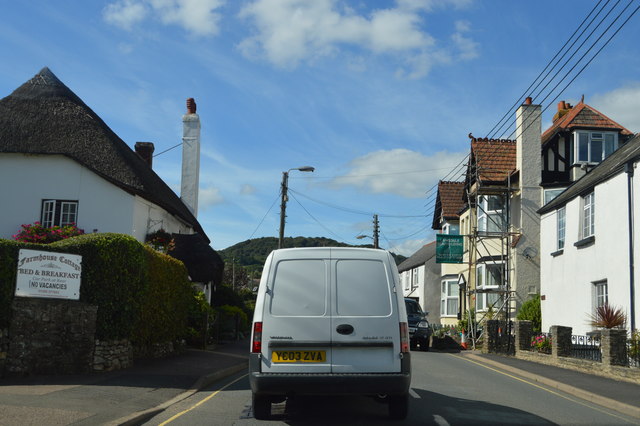
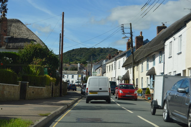
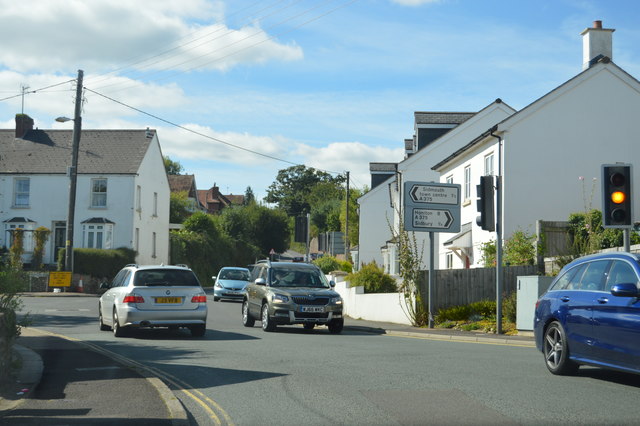
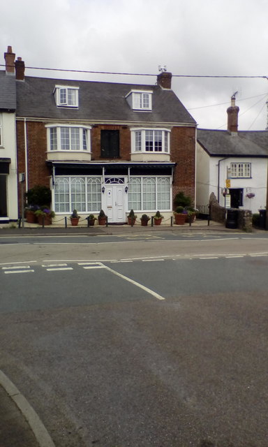
Salcombe Regis is a picturesque village located in the county of Devon, England. Situated on the Jurassic Coast, it is nestled within the East Devon Area of Outstanding Natural Beauty, offering stunning views of the coastline and surrounding countryside. The village is located approximately two miles east of Sidmouth and eight miles west of the larger town of Lyme Regis.

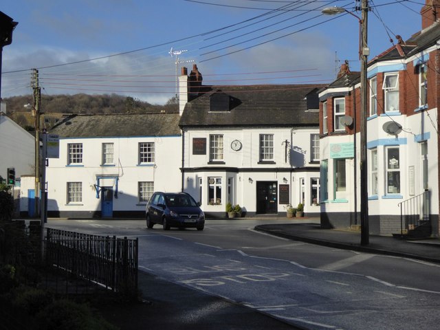
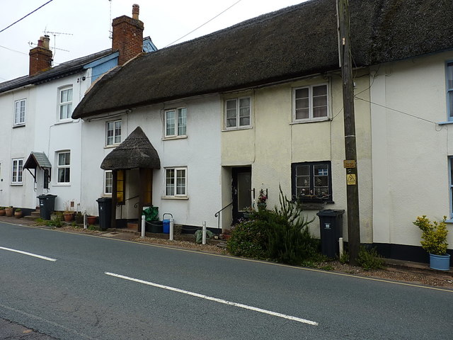
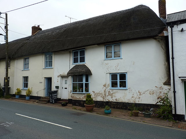
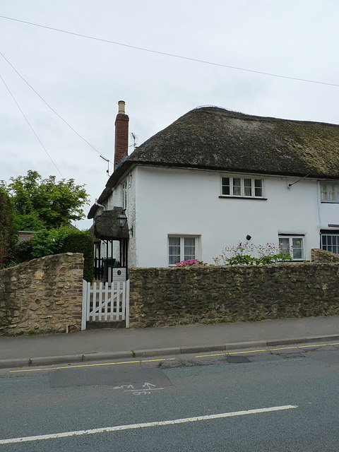
Salcombe Regis is known for its tranquil and idyllic setting, making it a popular destination for those seeking a peaceful retreat away from the hustle and bustle of city life. The village is characterized by its charming thatched cottages, traditional country pubs, and a beautiful parish church, St. Peter's. The church dates back to the 12th century and is a notable landmark in the area.

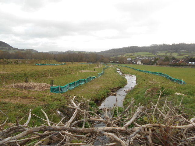
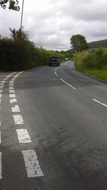
The village is surrounded by rolling hills and meadows, providing ample opportunities for walking, hiking, and exploring the countryside. The nearby South West Coast Path offers breathtaking coastal walks, allowing visitors to take in the rugged cliffs and panoramic sea views.

For nature enthusiasts, Salcombe Regis is home to diverse wildlife and beautiful flora. The Salcombe Hill Nature Reserve, managed by the Devon Wildlife Trust, is a must-visit spot for birdwatchers and nature lovers. The reserve boasts a variety of habitats, including woodland, grassland, and coastal cliffs, providing a haven for a wide range of species.

With its stunning natural beauty and tranquil atmosphere, Salcombe Regis offers a perfect escape for those seeking a peaceful and scenic getaway in the heart of Devon.

If you have any feedback on the listing, please let us know in the comments section below.

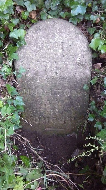
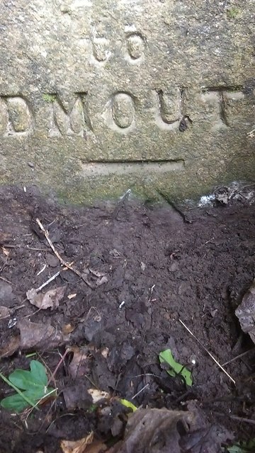
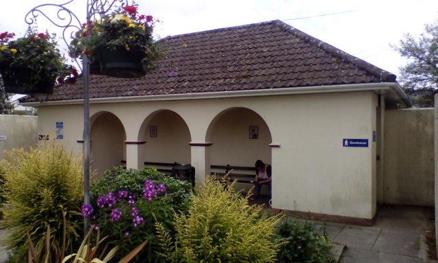
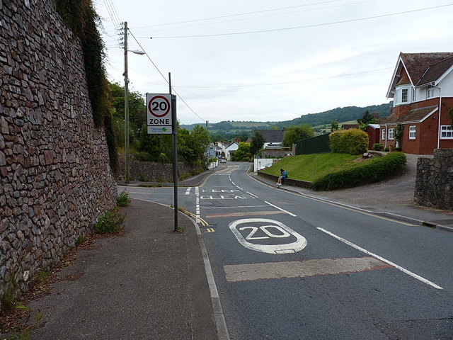
Salcombe Regis Images

Images are sourced within 2km of 50.693841/-3.210504 or Grid Reference SY1488. Thanks to Geograph Open Source API. All images are credited.

The Snodbrook at Sidford Running into the River Sid.
The brook crosses what is shortly to become an industrial estate.
The Snodbrook at Sidford
Running into the River Sid. The brook crosses what is shortly to become an industrial estate.
Sidford laundry Now derelict and closed down awaiting redevelopment.
this building was at one time used to dry sails from the local sailing club.
Sidford laundry
Now derelict and closed down awaiting redevelopment. this building was at one time used to dry sails from the local sailing club.
10 Months on Rather than as many locals suspected, the old laundry building appears to be taking on a new lease of life.
10 Months on
Rather than as many locals suspected, the old laundry building appears to be taking on a new lease of life.
The Rising Sun inn, Sidford The inn is at the crossroads in the centre of the village
The Rising Sun inn, Sidford
The inn is at the crossroads in the centre of the village
A3052, Sidford The A3052 Road runs 27 miles from Charnmouth to Clyst St Mary. It runs parallel to the East Devon coastline, but inland.
<span class="nowrap"><a title="http://www.sabre-roads.org.uk/wiki/index.php?title=A3052" rel="nofollow ugc noopener" href="http://www.sabre-roads.org.uk/wiki/index.php?title=A3052">Link</a><img style="margin-left:2px;" alt="External link" title="External link - shift click to open in new window" src="https://s1.geograph.org.uk/img/external.png" width="10" height="10"/></span>
A3052, Sidford
The A3052 Road runs 27 miles from Charnmouth to Clyst St Mary. It runs parallel to the East Devon coastline, but inland. LinkExternal link
Church St, Sidford The A3052 Road runs 27 miles from Charnmouth to Clyst St Mary. It runs parallel to the East Devon coastline, but inland.
<span class="nowrap"><a title="http://www.sabre-roads.org.uk/wiki/index.php?title=A3052" rel="nofollow ugc noopener" href="http://www.sabre-roads.org.uk/wiki/index.php?title=A3052">Link</a><img style="margin-left:2px;" alt="External link" title="External link - shift click to open in new window" src="https://s1.geograph.org.uk/img/external.png" width="10" height="10"/></span>
Church St, Sidford
The A3052 Road runs 27 miles from Charnmouth to Clyst St Mary. It runs parallel to the East Devon coastline, but inland. LinkExternal link
Sidford The A3052 Road runs 27 miles from Charnmouth to Clyst St Mary. It runs parallel to the East Devon coastline, but inland.
<span class="nowrap"><a title="http://www.sabre-roads.org.uk/wiki/index.php?title=A3052" rel="nofollow ugc noopener" href="http://www.sabre-roads.org.uk/wiki/index.php?title=A3052">Link</a><img style="margin-left:2px;" alt="External link" title="External link - shift click to open in new window" src="https://s1.geograph.org.uk/img/external.png" width="10" height="10"/></span>
Sidford
The A3052 Road runs 27 miles from Charnmouth to Clyst St Mary. It runs parallel to the East Devon coastline, but inland. LinkExternal link
Two Bridges Road to Sidbury Just north of Sidford, the main road heads up to Sidbury, whilst the minor road to the left goes up into the hills around <a href="https://www.geograph.org.uk/photo/204991">SY1291 : Sidbury Castle</a> and then in the general direction of Wiggaton.
Two Bridges Road to Sidbury
Just north of Sidford, the main road heads up to Sidbury, whilst the minor road to the left goes up into the hills around SY1291 : Sidbury Castle and then in the general direction of Wiggaton.
Sidford milestone Buried deep in the hedge immediately south of the junction, this milestone needed a little excavation before being photographable. It does not appear to be recorded by the Milestone Society, and due to its position in the hedgebank, the lettering is hard to make out for sure, but my best guess is "VII (ie 7th) mile from Honiton to Sidmouth". There is a later OS benchmark at the bottom of the inscription.
Sidford milestone
Buried deep in the hedge immediately south of the junction, this milestone needed a little excavation before being photographable. It does not appear to be recorded by the Milestone Society, and due to its position in the hedgebank, the lettering is hard to make out for sure, but my best guess is "VII (ie 7th) mile from Honiton to Sidmouth". There is a later OS benchmark at the bottom of the inscription.
OS benchmark - Sidford, Two Bridges milestone An OS cutmark on the well-hidden milestone beside the A375 just north of Sidford. It was levelled in 1967 at 46.643m above Ordnance Datum Newlyn.
OS benchmark - Sidford, Two Bridges milestone
An OS cutmark on the well-hidden milestone beside the A375 just north of Sidford. It was levelled in 1967 at 46.643m above Ordnance Datum Newlyn.
OS benchmark - Sidford, Kelso An OS cutmark on the wall of house called 'Kelso' on Fry's Lane; originally levelled, probably in 1967, at 52.1m above Ordnance Datum Newlyn.
OS benchmark - Sidford, Kelso
An OS cutmark on the wall of house called 'Kelso' on Fry's Lane; originally levelled, probably in 1967, at 52.1m above Ordnance Datum Newlyn.
House (former business?) in Sidford The recess above the front door and the style of the windows suggest that this was a shop or business
House (former business?) in Sidford
The recess above the front door and the style of the windows suggest that this was a shop or business
Public toilets with sheltered benches, Sidford
Sidford's High Street The main road coming into Sidford from the west, at the junction with Fry's Lane.
Sidford's High Street
The main road coming into Sidford from the west, at the junction with Fry's Lane.
OS Flush Bracket - Sidford Flush Bracket 2087 in the wall of 'Cornerways', and originally installed during the Second Geodetic Levelling surveys, in early 1917, when it was levelled at 139ft 4in above Ordnance Datum Newlyn.
OS Flush Bracket - Sidford
Flush Bracket 2087 in the wall of 'Cornerways', and originally installed during the Second Geodetic Levelling surveys, in early 1917, when it was levelled at 139ft 4in above Ordnance Datum Newlyn.
Listed cottages on Church Street in Sidford These two are one half of the group collectively listed at <span class="nowrap"><a title="https://www.britishlistedbuildings.co.uk/101097989-hillside-viewrosemary-cottagest-anthonysthe-cottage-sidmouth#.WXsjXoQrKM9," rel="nofollow ugc noopener" href="https://www.britishlistedbuildings.co.uk/101097989-hillside-viewrosemary-cottagest-anthonysthe-cottage-sidmouth#.WXsjXoQrKM9,">Link</a><img style="margin-left:2px;" alt="External link" title="External link - shift click to open in new window" src="https://s1.geograph.org.uk/img/external.png" width="10" height="10"/></span> which are described as "A row of 4 18th C or early 19th C cottages" The others lie to their right, and are seen in <a href="https://www.geograph.org.uk/photo/5478278">SY1390 : Listed cottages on Church Street in Sidford</a>
Listed cottages on Church Street in Sidford
These two are one half of the group collectively listed at LinkExternal link which are described as "A row of 4 18th C or early 19th C cottages" The others lie to their right, and are seen in SY1390 : Listed cottages on Church Street in Sidford
Listed cottages on Church Street in Sidford These two properties form the other half of the pair seen in <a href="https://www.geograph.org.uk/photo/5478275">SY1390 : Listed cottages on Church Street in Sidford</a>, and collectively given a Grade II listing <span class="nowrap"><a title="https://www.britishlistedbuildings.co.uk/101097989-hillside-viewrosemary-cottagest-anthonysthe-cottage-sidmouth#.WXslqYQrKM8" rel="nofollow ugc noopener" href="https://www.britishlistedbuildings.co.uk/101097989-hillside-viewrosemary-cottagest-anthonysthe-cottage-sidmouth#.WXslqYQrKM8">Link</a><img style="margin-left:2px;" alt="External link" title="External link - shift click to open in new window" src="https://s1.geograph.org.uk/img/external.png" width="10" height="10"/></span> in 1973.
Listed cottages on Church Street in Sidford
These two properties form the other half of the pair seen in SY1390 : Listed cottages on Church Street in Sidford, and collectively given a Grade II listing LinkExternal link in 1973.
4, Porch Cottages, Church Street House no 4 of the group known collectively as 'Porch Cottages' and given a Grade II listing <span class="nowrap"><a title="https://www.britishlistedbuildings.co.uk/101213014-porch-cottages-sidmouth#.WXs4sYQrKM8" rel="nofollow ugc noopener" href="https://www.britishlistedbuildings.co.uk/101213014-porch-cottages-sidmouth#.WXs4sYQrKM8">Link</a><img style="margin-left:2px;" alt="External link" title="External link - shift click to open in new window" src="https://s1.geograph.org.uk/img/external.png" width="10" height="10"/></span> in 1951. The whole row was originally a single house, and dates from 1574, but has been subdivided in the meantime. The other properties are at <a href="https://www.geograph.org.uk/photo/5478306">SY1390 : 3, Porch Cottages, Church Street</a> and <a href="https://www.geograph.org.uk/photo/5478314">SY1390 : 1 & 2, Porch Cottages, Church Street</a>
4, Porch Cottages, Church Street
House no 4 of the group known collectively as 'Porch Cottages' and given a Grade II listing LinkExternal link in 1951. The whole row was originally a single house, and dates from 1574, but has been subdivided in the meantime. The other properties are at SY1390 : 3, Porch Cottages, Church Street and SY1390 : 1 & 2, Porch Cottages, Church Street
Show me another place!

Salcombe Regis is located at Grid Ref: SY1488 (Lat: 50.693841, Lng: -3.210504)

Administrative County: Devon

District: East Devon

Police Authority: Devon and Cornwall

What 3 Words

///tape.open.loops. Near Sidmouth, Devon

Related Wikis

Salcombe Regis

Salcombe Regis is a coastal village and former civil parish, now in the parish of Sidmouth, in the East Devon district, in the county of Devon, England...

Norman Lockyer Observatory

The Norman Lockyer Observatory, the Lockyer Technology Centre, and the Planetarium (jointly NLO), is a public access optical observatory 1 mile (1.6 km...

The Donkey Sanctuary

The Donkey Sanctuary is a British charitable organisation devoted to the welfare of donkeys. The charity, which is based near Sidmouth in Devon, England...

Sidford

Sidford is a small village in the civil parish of and on the outskirts of the town of Sidmouth in the English county of Devon. It has a population of just...

Nearby Amenities

Located within 500m of 50.693841,-3.210504
Salcombe Regis
Created By: Potlatch 0.10f
Place: village
Wikidata: Q745875
Lat/Long: 50.6935703/-3.2066743
Barrier: kissing_gate
Lat/Long: 50.6907774/-3.2089872
War Memorial
Historic: memorial
Memorial: war_memorial
Lat/Long: 50.6917202/-3.2115344
Golf: pin
Lat/Long: 50.6963939/-3.2052245
Power: pole
Source: bing
Lat/Long: 50.6956866/-3.2060164
Power: pole
Source: bing
Lat/Long: 50.6963625/-3.2077879
Power: pole
Source: bing
Lat/Long: 50.6959157/-3.2084584
Power: pole
Source: bing
Lat/Long: 50.6977709/-3.209939
Power: pole
Source: bing
Lat/Long: 50.6970659/-3.2088822
Power: pole
Source: bing
Lat/Long: 50.6956642/-3.2067016
Power: pole
Source: bing
Lat/Long: 50.6967074/-3.2138309
Power: pole
Source: bing
Lat/Long: 50.6965069/-3.212471
Power: pole
Source: bing
Lat/Long: 50.6962011/-3.2104459
Fire Hydrant
Emergency: fire_hydrant
Fire Hydrant Type: underground
Survey Date: 2023-04-07
Lat/Long: 50.6949674/-3.207045
Telephone
Booth: K6
Covered: booth
Survey Date: 2023-04-07
Lat/Long: 50.6936972/-3.2071464
Fire Hydrant
Emergency: fire_hydrant
Fire Hydrant Type: underground
Survey Date: 2023-04-07
Lat/Long: 50.6933671/-3.2071253
Post Box
Collection Times: Mo-Fr 09:00, Sa 07:00
Operator: Royal Mail
Operator Wikidata: Q638098
Post Box Mounting: building
Post Box Type: wall
Ref: EX10 99D
Royal Cypher: EIIR
Royal Cypher Wikidata: Q33102113
Survey Date: 2023-04-07
Lat/Long: 50.6932717/-3.2069704
Fire Hydrant
Emergency: fire_hydrant
Fire Hydrant Type: underground
Survey Date: 2023-04-07
Lat/Long: 50.6931831/-3.2073048
Fire Hydrant
Emergency: fire_hydrant
Fire Hydrant Type: underground
Survey Date: 2023-04-07
Lat/Long: 50.6918349/-3.2107985
Waste Basket
Survey Date: 2023-04-07
Waste: dog_excrement
Lat/Long: 50.6903522/-3.2139557
The data included in this document is from www.openstreetmap.org. The data is made available under ODbL.

Have you been to Salcombe Regis?

Leave your review of Salcombe Regis below (or comments, questions and feedback).