Salcott

Settlement in Essex Colchester

England

Salcott

Village Sign This is the village sign for Salcott Cum Virley on the junction of The B1026 Colchester Road and The Street.
Village Sign Credit: terry joyce

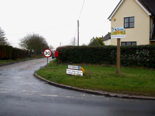
Salcott is a small village located in the Tendring district of Essex, England. Situated on the eastern coast, it is part of the larger St. Osyth civil parish. With a population of around 200 residents, Salcott offers a tranquil and picturesque setting for those seeking a peaceful countryside retreat.

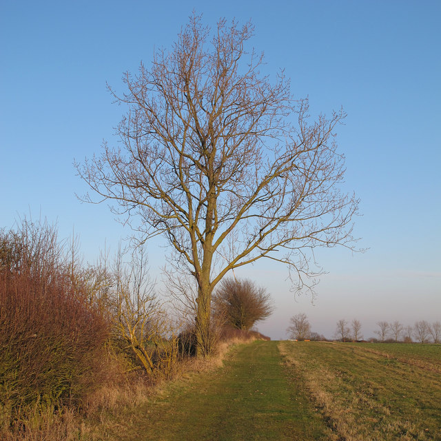
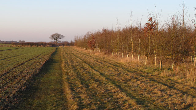
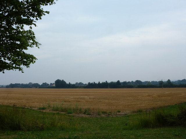
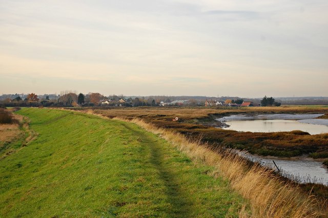
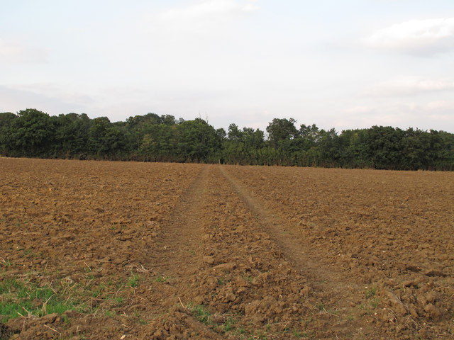
The village is surrounded by beautiful farmland and enjoys stunning views of the surrounding marshland, making it an ideal location for nature enthusiasts and bird watchers. In fact, Salcott is renowned for its rich birdlife, attracting birdwatchers from near and far.

Despite its small size, Salcott has a close-knit community spirit and offers a range of amenities for its residents. These include a local pub, The Salcott Inn, which serves as a popular meeting place for locals and visitors alike. Additionally, the village has a small primary school, providing education for children in the area.

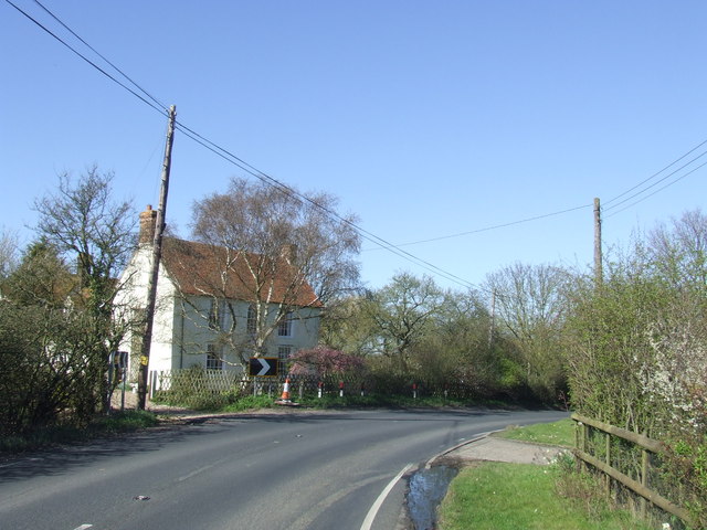
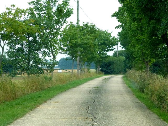
Salcott is well-connected to neighboring towns and cities via road links, with access to the A133 and A120 just a short distance away. The village is also within reach of train stations in nearby towns, such as Colchester and Clacton-on-Sea, providing convenient transport options for those looking to explore beyond the village.

Overall, Salcott offers a peaceful and idyllic setting for residents and visitors who appreciate the beauty of the Essex countryside. With its stunning landscapes and natural attractions, it is a hidden gem worth exploring for those seeking a rural escape.

If you have any feedback on the listing, please let us know in the comments section below.
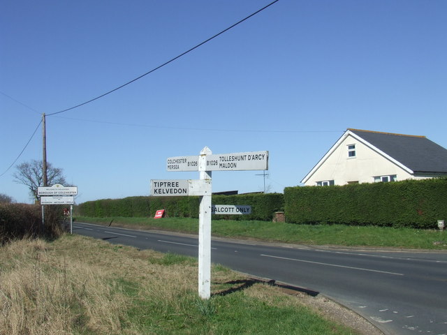
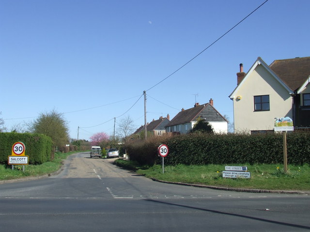
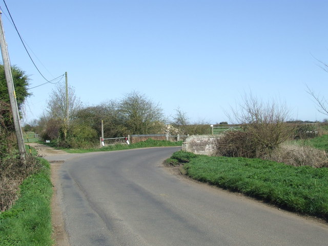
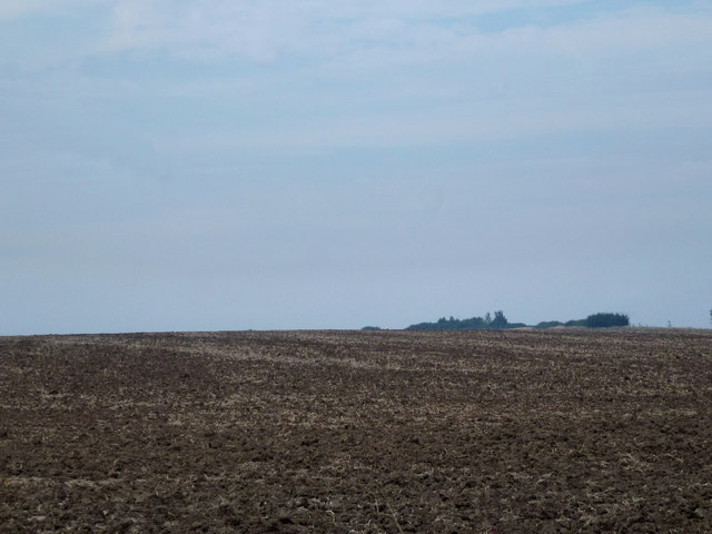
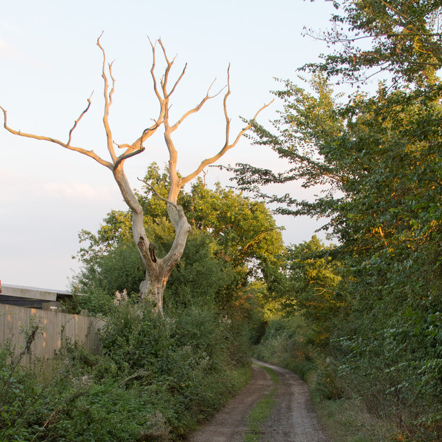
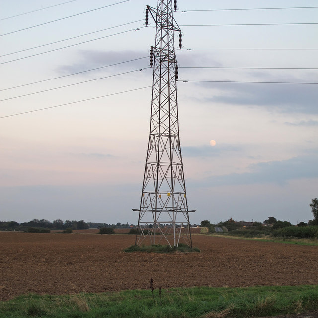
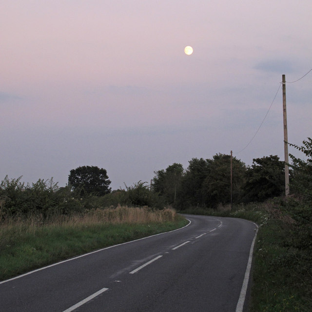
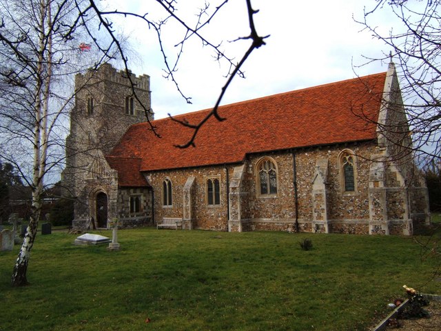
Salcott Images

Images are sourced within 2km of 51.791004/0.8116048 or Grid Reference TL9414. Thanks to Geograph Open Source API. All images are credited.

Village Sign This is the village sign for Salcott Cum Virley on the junction of The B1026 Colchester Road and The Street.
Village Sign
This is the village sign for Salcott Cum Virley on the junction of The B1026 Colchester Road and The Street.
Tree on field boundary, Abbotts Hall Farm Looking east along a field margin and permissive path at Essex Wildlife Trust's Abbotts Hall Farm, Great Wigborough.
Tree on field boundary, Abbotts Hall Farm
Looking east along a field margin and permissive path at Essex Wildlife Trust's Abbotts Hall Farm, Great Wigborough.
Saplings, field margin, arable land: Abbotts Hall Farm Looking north along a permissive path near a small plantation of saplings at Essex Wildlife Trust's Abbotts Hall Farm, Great Wigborough.
Saplings, field margin, arable land: Abbotts Hall Farm
Looking north along a permissive path near a small plantation of saplings at Essex Wildlife Trust's Abbotts Hall Farm, Great Wigborough.
Colchester Road, Salcott-cum-Virley Colchester Road is part of the B1206, heading south from Colchester.
Colchester Road, Salcott-cum-Virley
Colchester Road is part of the B1206, heading south from Colchester.
Road junction at Salcott-cum-Virley A signpost at a junction on the B1206 road south of Colchester.  The sign in the background indicates that this is the Colchester Borough boundary, as the road crosses into Maldon District here.
Road junction at Salcott-cum-Virley
A signpost at a junction on the B1206 road south of Colchester. The sign in the background indicates that this is the Colchester Borough boundary, as the road crosses into Maldon District here.
The Street, Salcott-cum-Virley The village of Salcott lies just off the B1206 road between Colchester and Maldon.
The Street, Salcott-cum-Virley
The village of Salcott lies just off the B1206 road between Colchester and Maldon.
Colchester Road near Salcott-cum-Virley The road bends to the right then crosses a bridge over a small stream.
Colchester Road near Salcott-cum-Virley
The road bends to the right then crosses a bridge over a small stream.
Essex Farmland This grid square is predominantly farmland.
Essex Farmland
This grid square is predominantly farmland.
Wheat Stubble Abbot's Wick Farm.
Wheat Stubble
Abbot's Wick Farm.
Abbot's Wick Lane This is the road that leads to and from Abbot's Wick Farm.
Abbot's Wick Lane
This is the road that leads to and from Abbot's Wick Farm.
Sea wall path approaching Salcott Beside Salcott Creek.
Sea wall path approaching Salcott
Beside Salcott Creek.
Public footpath over tilled field near Honeycombe Farm, Tolleshunt Knights
Dead tree, Honeypot Lane (public footpath), Tolleshunt Knights
Pylon on arable land near Barnhall Road, Tolleshunt Knights
Field margin on tilled land near Barnhall Road, Tolleshunt Knights
Moon over Barnhall Road, Tolleshunt Knights \\ Salcott This section of Barnhall Road is on the Parish Boundary between Tolleshunt Knights CP and Salcott CP.
Moon over Barnhall Road, Tolleshunt Knights \\ Salcott
This section of Barnhall Road is on the Parish Boundary between Tolleshunt Knights CP and Salcott CP.
St Mary The Virgin, Salcott-cum-Virley This is Salcott Church the tower and porch date from the 15th century however the body of the church was rebuilt after the 1884 Great Colchester Earthquake. This tremor is estimated to have been 6.9 on the Richter scale one of the most destructive quakes ever recorded in the U.K. Near by Virley church also St Marys was never rebuilt this is in square <a href="https://www.geograph.org.uk/gridref/TL9413">TL9413</a>
St Mary The Virgin, Salcott-cum-Virley
This is Salcott Church the tower and porch date from the 15th century however the body of the church was rebuilt after the 1884 Great Colchester Earthquake. This tremor is estimated to have been 6.9 on the Richter scale one of the most destructive quakes ever recorded in the U.K. Near by Virley church also St Marys was never rebuilt this is in square TL9413
Salcott-cum-Virley 
This bus shelter stands at the point where the B1026 Colchester Road becomes Whitehouse Hill, Barnhall Rd leads to Tiptree, and Salcott Street is behind the photographer.
Salcott-cum-Virley
This bus shelter stands at the point where the B1026 Colchester Road becomes Whitehouse Hill, Barnhall Rd leads to Tiptree, and Salcott Street is behind the photographer.
Show me another place!

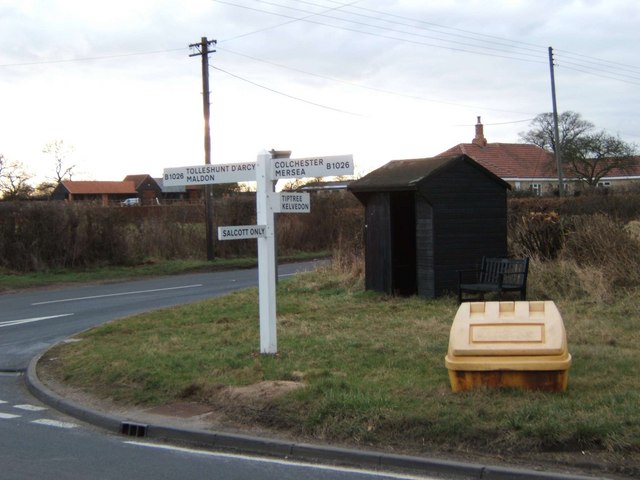
Salcott is located at Grid Ref: TL9414 (Lat: 51.791004, Lng: 0.8116048)

Administrative County: Essex

District: Colchester

Police Authority: Essex

What 3 Words

///pushes.evolution.dubbing. Near Tolleshunt Knights, Essex

Nearby Locations

Virley Salcott

Related Wikis

Virley

Virley is a village and civil parish in the Colchester borough of Essex, England and forms part of the Winstred Hundred grouped parish council. According...

Salcott

Salcott or Salcott cum Virley is a village and civil parish in the Colchester borough of Essex, England, and forms part of the Winstred Hundred grouped...

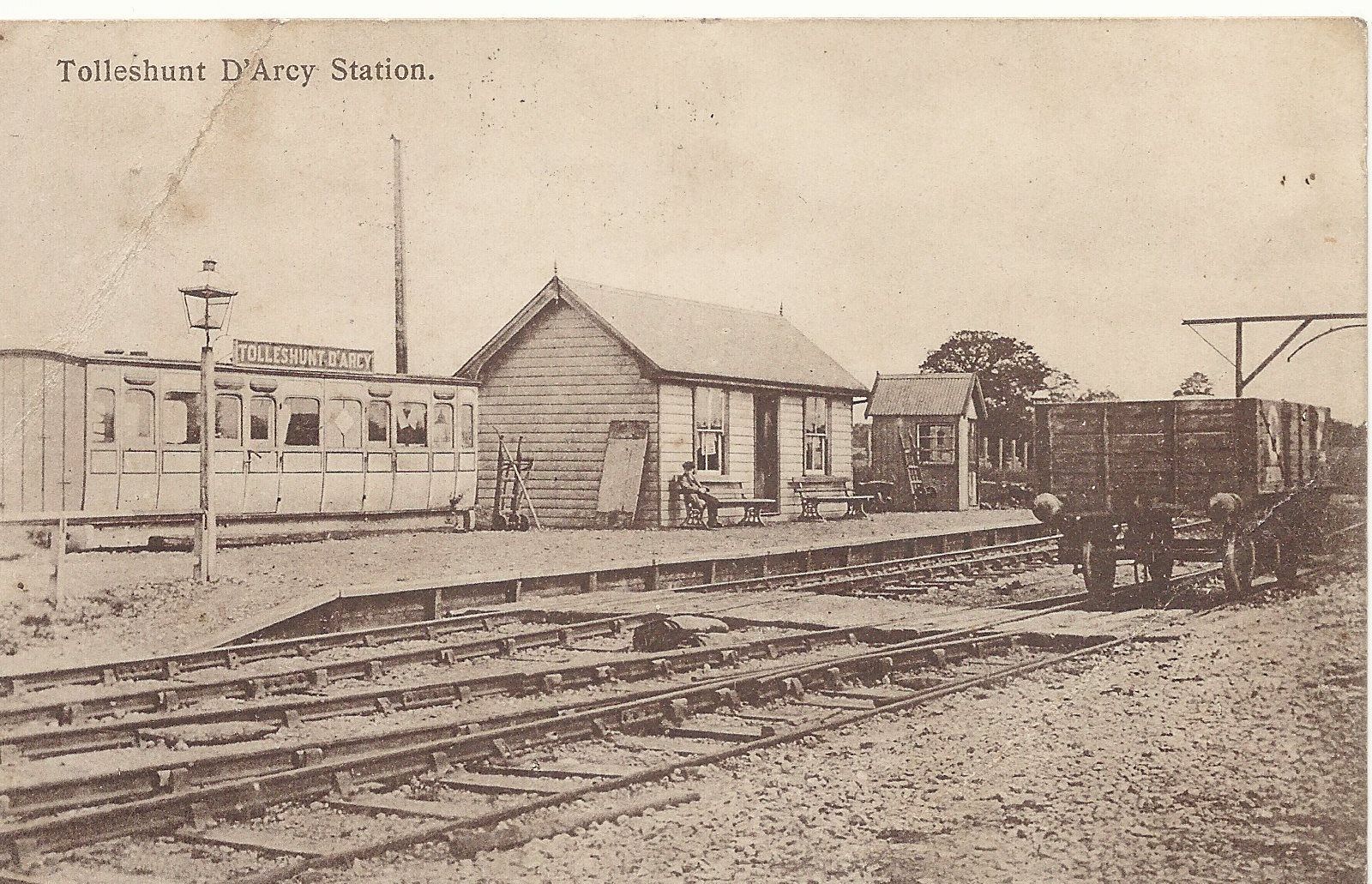
Tolleshunt d'Arcy railway station

Tolleshunt D'Arcy railway station was on the Kelvedon and Tollesbury Light Railway, serving the village of Tolleshunt D'Arcy, Essex. The station was 6...

Patriarchal Stavropegic Monastery of St John the Baptist

The Patriarchal Stavropegic Monastery of St John the Baptist is a monastic community for both men and women, directly under the Ecumenical Patriarchate...

Nearby Amenities

Located within 500m of 51.791004,0.8116048
Bus Stop
Barnhall Road
Bus: yes
Naptan AtcoCode: 1500IM1550
Naptan Bearing: N
Naptan BusStopType: CUS
Naptan CommonName: Salcott Corner
Naptan Crossing: Salcott Street
Naptan Indicator: N-bound
Naptan Landmark: Salcott Corner
Naptan NaptanCode: esxgdjdj
Naptan Street: Colchester Road
Public Transport: platform
Shelter: yes
Source: naptan_import;survey
Lat/Long: 51.7891146/0.8157731
Bus Stop
Barnhall Road
Bus: yes
Naptan AtcoCode: 1500IM1550AA
Naptan Bearing: S
Naptan BusStopType: CUS
Naptan CommonName: Salcott Corner
Naptan Crossing: Salcott Street
Naptan Indicator: S-bound
Naptan Landmark: Salcott Corner
Naptan NaptanCode: esxgpjtm
Naptan Street: Colchester Road
Naptan Verified: no
Public Transport: platform
Source: naptan_import
Lat/Long: 51.7892839/0.8159822
Man Made: village_sign
Lat/Long: 51.7891892/0.8159977
Post Box
Post Box Type: lamp
Lat/Long: 51.7892074/0.8161377
The data included in this document is from www.openstreetmap.org. The data is made available under ODbL.

Have you been to Salcott?

Leave your review of Salcott below (or comments, questions and feedback).